Categories
Flight Simulation

Around the world in flight simulation (1)

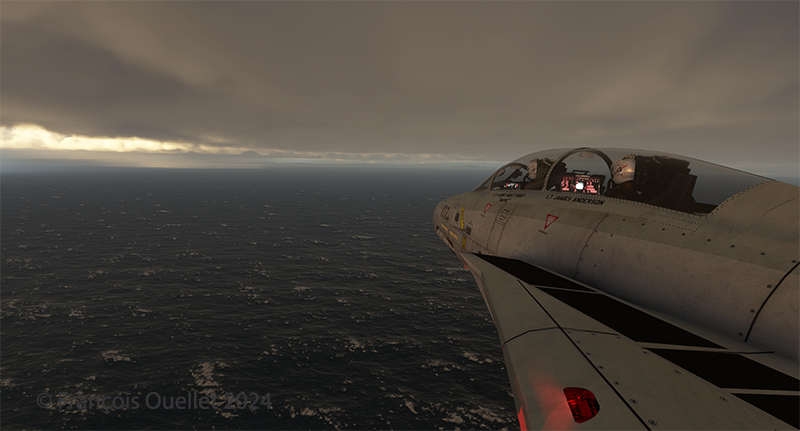
F-14 Tomcat at work over the sea

The flight simulation with Microsoft Flight Simulator lets you fly over the planet like never before from the comfort of your own home. As airports around the world transmit weather observations at all times, it’s possible to import this data into the flight simulator and fly virtually in the real weather conditions reported around the globe.

This data enhances the feeling of reality for the virtual pilot, but at the same time complicates his task, as he has to take into account the presence of thunderstorms and icing, surface and upper-level winds, changes in cloud cover, visibility, pressure, and so on.

Today’s virtual pilot must also anticipate that failures of all kinds may affect the flight, especially if he or she owns a high-quality virtual aircraft. The engine(s) may fail, a structural problem may affect the aircraft’s controls and navigation equipment may cease to function. Good planning is essential, just as in real life. And since the brain doesn’t differentiate too much between the real and the virtual, there’s plenty of fun to be had.

So, I’ve decided to fly around the world as a millionaire, at my own pace, i.e., using the types of aircraft that tempt me, and flying the routes that are of particular interest. All of this will be done in real weather, with all its joys and obstacles. I’ll be publishing one of these routes on my blog from time to time.

The initial route departs from Quebec’s Jean-Lesage airport (CYQB), passes through Goose Bay (CYYR), in the Canadian province of Newfoundland and Labrador, heads north to Kuujjuaq and ends in Iqaluit (CYFB).

Virtual Flight 2 will present a few photos of the Atlantic crossing from Iqaluit to Kangerlussuaq (BGSF) in Greenland, to Isafjordur (BIIS) in Iceland .

Isafjordur airport has a challenging approach. I don’t know if the Cessna Citation Longitude will be able to land there in one piece, but I intend to give it a try.

Virtual flight 1.
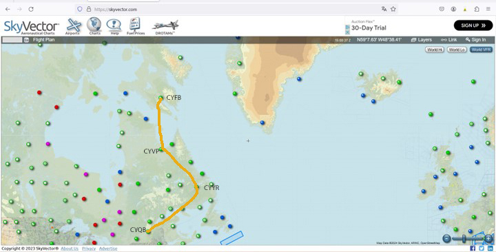
Virtual flights CYQB CYYR CYVP CYFB
Enroute from Quebec City (CYQB) to Goose Bay (CYYR)

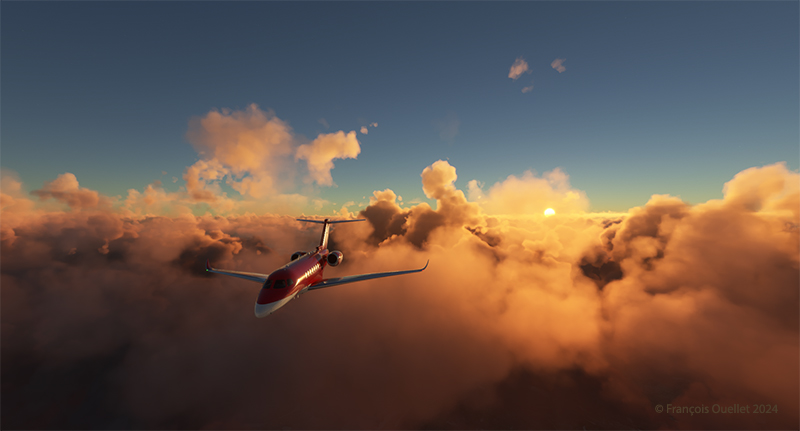
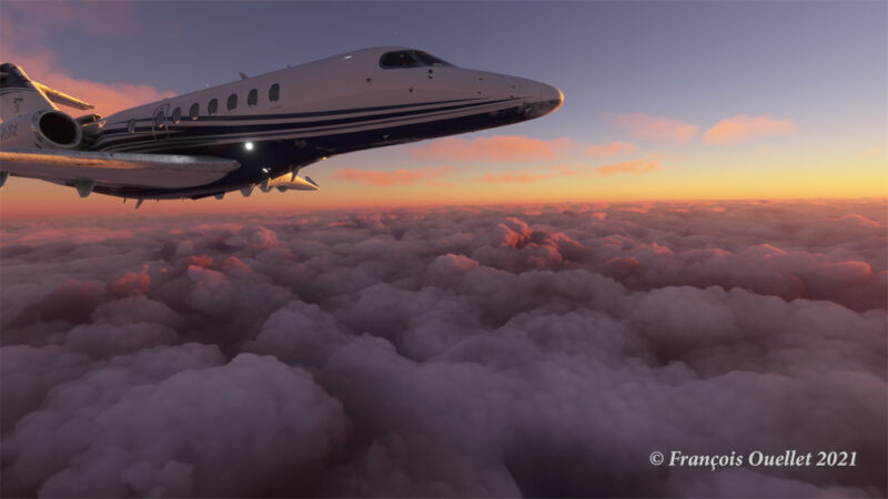
Above, the setting sun illuminates the clouds and the Cessna Citation Longitude en route from Quebec City to Goose Bay. At high altitude, the pilot sets the altimeter to the standard atmospheric pressure of 29.92 inches of mercury. Since all the other pilots are doing the same, a safe separation between the aircraft is ensured.
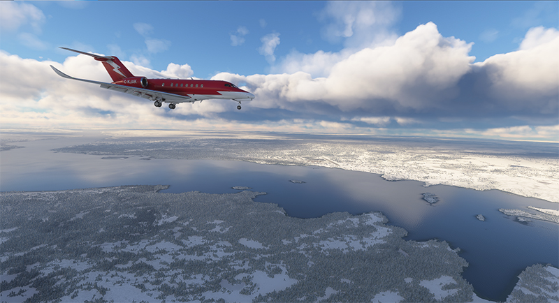
Approaching the Kuujjuaq airport (CYVP) in Quebec.

The next day, the aircraft is seen approaching Kuujjuaq (CYVP) in Nunavik. The altimeter is set to the airport’s atmospheric pressure to reflect the correct height of the runways in relation to the aircraft. Near the airport, the autopilot is disconnected, and the approach is made manually and visually. The desired speed is around 135 knots for the final.
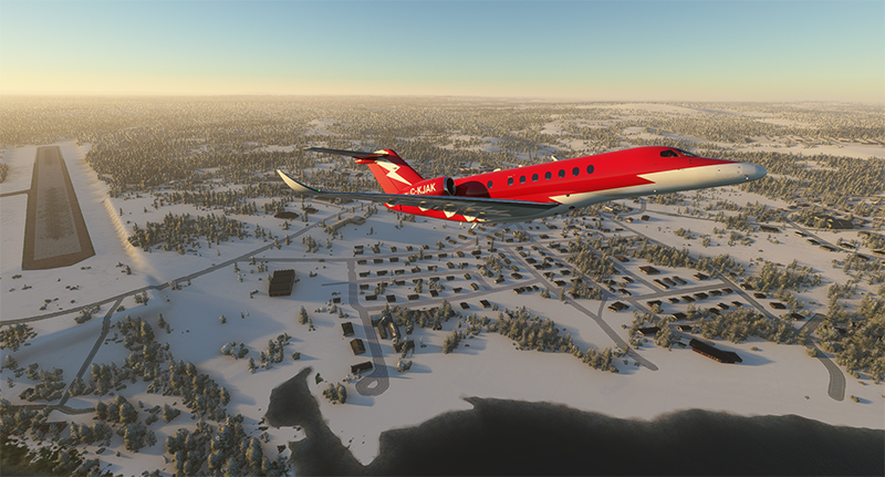
Departing Kuujjuaq airport (CYVP) with the Cessna Citation Longitude

Above, the jet takes off from Kuujjuaq bound for Iqaluit (CYFB) on Baffin Island in Nunavut.
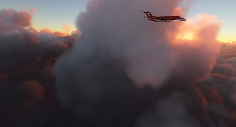
Enroute to Iqaluit airport (CYFB)

The setting sun illuminates the aircraft’s windows. The approach to Iqaluit has begun. The descent is gradual, so as not to cause discomfort to the virtual passengers…
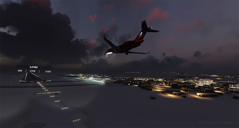
On final for runway 34 of the Iqaluit airport (CYFB)

Above, the aircraft is on final for runway 34 at Iqaluit (CYFB).
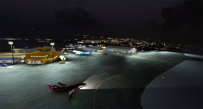
The yellow Iqaluit flight service station (FSS) in Iqaluit (CYFB)

The first leg of our virtual flight around the world ends in Iqaluit, the airport where I worked for two and a half years as Flight Service Specialist (FSS) in the yellow tower on the left of the photo.
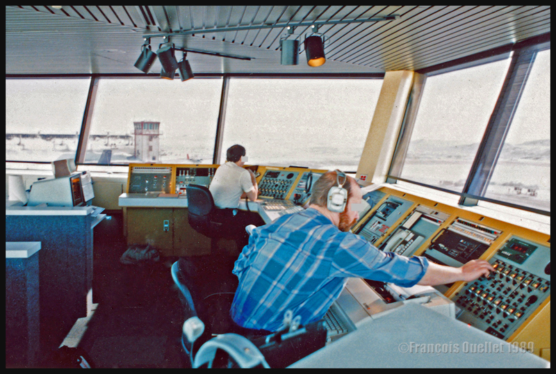
Flight service specialists at work at the Iqaluit flight service station in 1989

Above, a photo of the interior of the Flight Service Station at the time. One FSS worked on arrivals and departures at the airport, while the other handled transatlantic flights between Europe and mainly the western USA.

Click on the link for more flights around the world in flight simulation on my blog.
Categories
Flight Simulation

Virtual flight around Key West with MSFS 2020

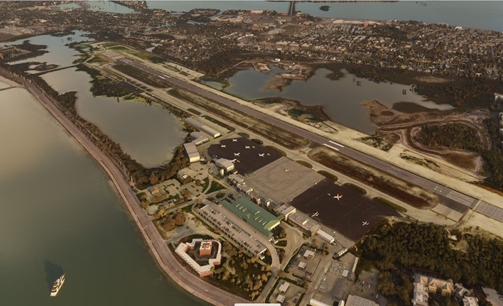
The Key West (KEYW) virtual airport by FSDreamteam for the MSFS 2020 flight simulator.

This is the Key West Airport (KEYW) in Florida, as reproduced for flight simulation by FSDreamteam for the Microsoft MSFS2020 flight simulator.

There is a clear advantage to acquiring this virtual airport rather than using the MSFS2020 airport. Indeed, the FSDreamteam KEYW airport doesn’t come alone: the company offers two other sites in accompaniment and for the same price: Fort Jefferson and the Loggerhead lighthouse.

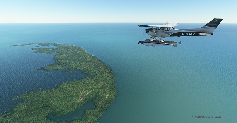
A small virtual flight with a Cessna C-172 on floats allows you to fly over these sites and land on the water when appropriate.

Airborne from Key West KEYW with the MSFS 2020 flight simulator.

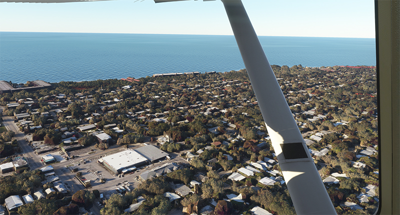
The Cessna takes off from Key West under ideal weather conditions.

Part of the Key West Wildlife National Refuge using MSFS 2020

Shortly after takeoff and established at 3000 feet, we fly over the Key West National Wildlife Refuge.

Descending towards Fort Jefferson with MSFS 2020

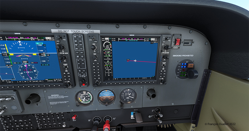
The Garmin G-1000 allows a stable flight during screen captures.

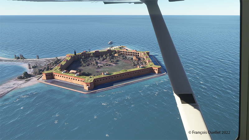
Flying over Fort Jefferson in Key West with MSFS 2020.

This is Fort Jefferson photographed as the Cessna flies at about 1500 feet ASL. The winds have increased slightly and foam is becoming visible on the waves.

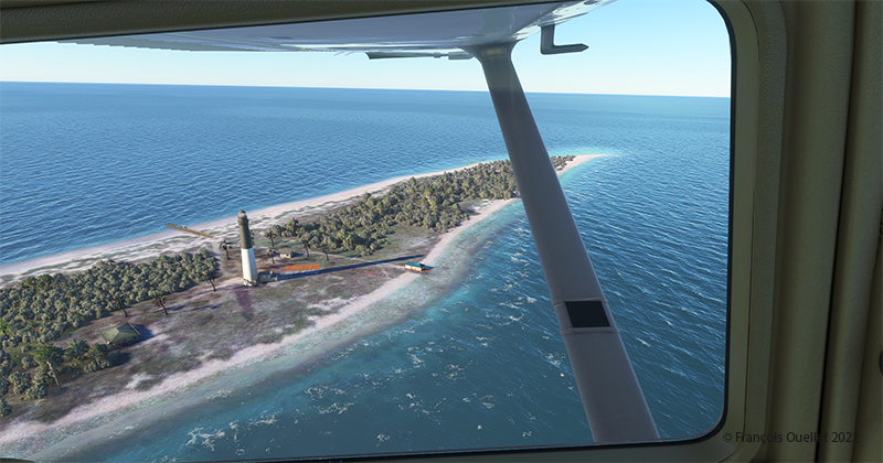
Flying over Loggerhead Lighthouse in Key West using thge MSFS 2020 flight simulator.

A little further along the flight path is the Loggerhead Lighthouse. The beach is beautiful and gently sloping. It will be possible to do a water landing, put the landing gear down while on the water and then park on the beach.

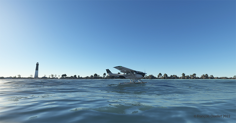
Making a sea-landing by Loggerhead Lighthouse in Key West, with MSFS 2020.

The landing is done without too much difficulty.

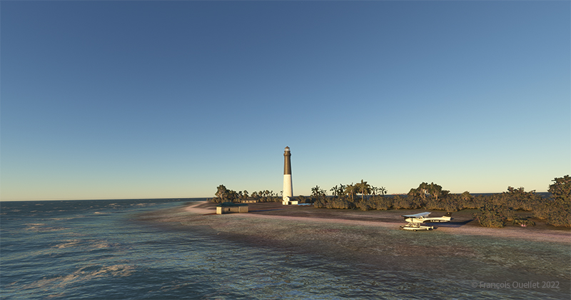
On the beach at Loggerhead Lighthouse, in Florida, using MSFS 2020.

With a little engine power, it is possible to get out of the water and park on the beach for a while. After turning off the engine, the MSFS2020 flight simulator allows the pilot to listen to the sound of the waves and wind in a realistic way. If there are birds in the area, it will also be possible to hear them.

For those who want to repeat the experience, it is only a matter of programming the starting point in MSFS2020 as KEYW and the destination KYW1 (Fort Jefferson). Once through Fort Jefferson, continue straight for a few minutes and you’ll arrive at the Loggerhead Lighthouse. Take a few moments to relax and listen to the waves before taking off again…!

Click on the link for more standard virtual flights on my blog using either MSFS2020 or FSX.

Categories
Flight Simulation Screen captures

A few Microsoft Flight Simulator 2020 screenshots.

Below are a few Microsoft Flight Simulator 2020 (MFS 2020) screen captures taken during virtual flights.

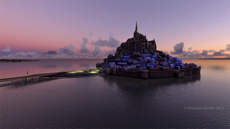
Le Mont St-Michel en France, sous MFS 2020.

Mont St-Michel is a very nice addition to the France virtual scenery provided by MFS 2020. Such great sites can be found in many places in the Microsoft Flight Simulator 2020 program, but many more are also available for free through the flight simulation community : they can then be downloaded and installed in MFS 2020, thus ever improving the overall experience.

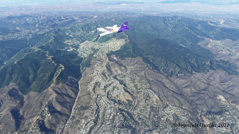
Heading to KLAX from KBUR with a TBM 930 on the flight simulator MFS 2020.

The haze is quite present in the Los Angeles area and adds to the realism in the screenshot above. The FedEx livery comes from « Liveries Mega Pack Manager ».

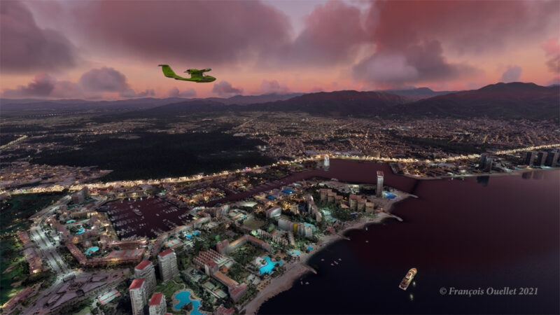
Puerto Vallarta with MFS 2020 and improved scenery by John Lovell

The Icon A5 Kingfisher is seen flying along the Puerto Vallarta coast in Mexico. The scenery was hugely improved by John Lovell and is available through Flightsim.to. But it will require 5 GiG on your hard disk!

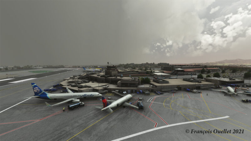
The Burbank Bob Hope (KBUR) modelized by Orbx on the flight simulator MFS 2020.

The picture above shows a small part of the Burbank Bob Hope airport (KBUR) modelized by Orbx. The screen capture was taken with the X-Box drone. This drone is a fantastic addition to what is now available to flight simulation enthousiasts when comes the time to bring back souvenirs from a flight.

Heading to Iqaluit with the flight simulator MFS 2020.

Enroute to Iqaluit (CYFB), the jet just got out of the cloud deck and some rime icing is still visible on the nose and the wing’s leading edge. That evening, there was a sigmet reporting high level turbulence and it is exactly what I experienced during the flight, using REX Weather Force 2020 as a weather engine.

I’ll be back with more flight simulation screen captures soon. Meanwhile, have a good virtual flight!

Click on the following link for virtual flight simulation pictures on my blog.
Categories
Flight Simulation

Microsoft Flight Simulator 2020

Approaching the Narita international airport, in Japan, with Microsoft Flight Simulator 2020.

The Microsoft Flight Simulator 2020 is an extremely interesting product. Microsoft is taking advantage of the satellite imagery offered by Bing, which allows the flight simulation enthusiast to fly over the world almost like in the real life. With the addition of live weather and air traffic in real time, the immersion is incredible.

Flying over New York in the evening with Microsoft Flight Simulator 2020.

To download the game’s 128 gigabytes using my current internet plan, it took fourteen hours. I still remember when I bought a hard drive that could hold 30 megabytes of data: it was a computer revolution!

Of course, the game requires an adaptation. We are far from the old FSX platform. It goes without saying that you need a high-performance computer. But a new and very positive aspect of this simulator is that you can now use an X-Box controller as an in-flight camera, with the addition of a rudder and a steering wheel for more reality. This camera offers incredible possibilities and the additional X-Box controller becomes essential.

The Zlin Savage Cub flying over the United States using Microsoft Flight Simulator 2020.

As with anything new, there are some glitches. Personally, I have been using the CH company products for flight simulation for many years and the new MSFS 2020 has had problems recognizing the functions of CH products. Many virtual flight enthousiasts have had the same problems. So here are the links below that allowed a neophyte like me to solve the problems.

A first video of interest is also available. Its author uses a slightly different method, but it is super easy to understand and allows you to acquire additional knowledge if you want to map your CH rudder and control column correctly.

A second video gives you access to the CH company products. There you will find the links that allow you to print a representation of your CH flight controls. This will allow you to find which number is associated with a specific command control. You can then remap the controls to your taste and keep a record of all the modifications you made.

Here are two other practical links for answers to various questions about X-Box and other subjects and CH products.

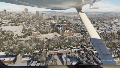
Aerial view of Quebec City using Microsoft Flight Simulator 2020.

In the screenshot above, you might recognize Quebec City, with the restaurant Le Concorde in the distance on the left, followed by the Edifice Marie-Guyart, a part of the Plains of Abraham, the Château Frontenac, the Price building and the lower town.

Have a good flight!

Click on the link for other flight simulation articles on my blog.
Categories
Aviation art Flight Simulation

Flight simulation : three screen captures.

The virtual sceneries shown below were used for flight simulation exercises. They are all available online, for sale or free, at ORBX.

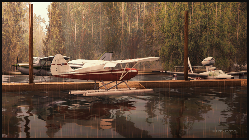
Piper Pacer approaching the dock at Robert's Lake in Ontario, Canada.
Piper Pacer approaching the dock at Robert’s Lake in Ontario, Canada.

In the scenery above, the red Piper Pacer, which is made by Lionheart Creations Ltd , arrives at a Pier at Robert’s Lake, in Canada. This lake was modelized jointly with the Parry Sound (CNK4) virtual scenery.

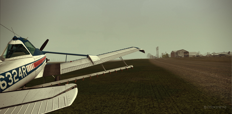
Virtual Cessna C188B Agtruck near Claresholm Industrial Park in Alberta, Canada.

In the picture above, a virtual Cessna C188B Agtruck created by the Alabeo company is parked near the Claresholm Industrial Park (CEJ4), in Canada. The virtual airport is available for free download at ORBX. Who said that nothing in life is free?!

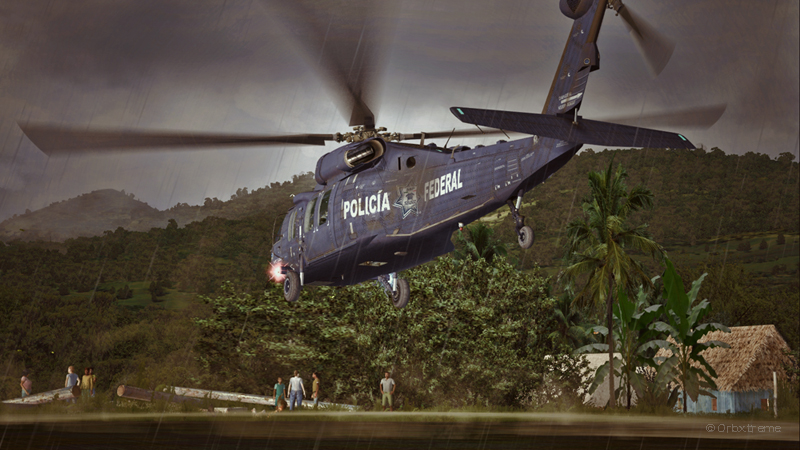
A virtual UH-60L Black Hawk belonging to the Columbian Police Force is hovering in the jungle.

Above, a UH-60L Black Hawk virtual helicopter created by the Cerasim company is flying over the Papua New Guinea territory. It should normally be hovering over Columbia, but the ORBX company has not yet developed very well defined airports for that country. It was more interesting to fly over an area that was already well modelized.

The three screen captures were slightly digitally improved following each virtual flight. The FSX flight simulation platform, although still interesting, is getting a bit old. The original screen captures often benefit from additional digital processing, especially when it comes to posting for the international contest held monthly by the ORBX company.

Click on the link for other screen captures of virtual aircrafts on my blog.
Categories
Flight Simulation

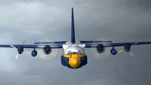
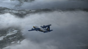
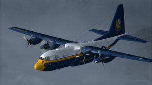
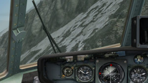
Losing four engines on a C-130 Hercules in flight simulation

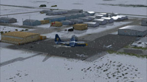
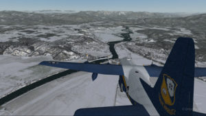
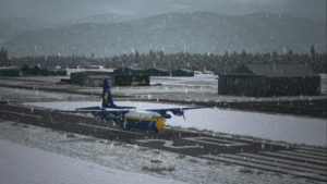
A virtual C-130 belonging to the Blue Angels is taxiing at the High River airport, in Alberta.

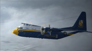
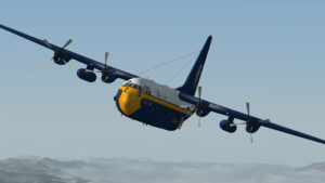
Wanting to add an almost impossible flight in the “unhinged virtual flights” section of my web site, I tried a flight with the Blue Angels C-130 Hercules (Captain Sim) where the aircraft gradually lost all of its engines.

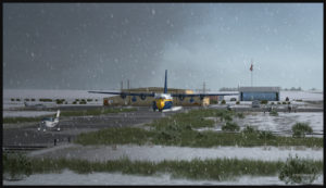
The Blue Angels C-130 Hercules waiting in line behind a single engine aircraft at the High River airport.

I am aware that the Blue Angels mechanics are real professionals, so I assumed that the engine failures were caused by an unknown reason.

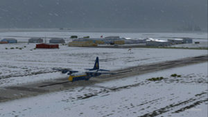
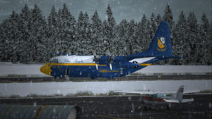
A virtual Blue Angels Lockheed C-130 Hercules takes-off from the High River (CEN4) Canadian airport in Alberta.

The take-off was made without problem from the Canadian High River (CEN4) airport. This free airport was designed by Vlad Maly and is available through ORBX. The aircraft leaves the 4150 feet runway heading to the Coeur d’Alène airport (KCOE) in United States.

Eventually, the first engine stops. This does not cause a problem. The propeller is feathered and the gradual climbing continues.

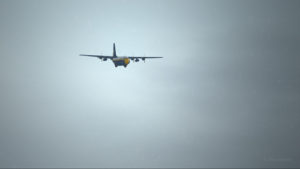
The C-130 Hercules loses its first engine.

The second engine stops. The pilot must forget the initial destination. Bonners Ferry (65S) becomes the alternate airport since the 4000×75 feet runway is good enough for the C-130.

The second engine has just stopped on this C-130 Hercules.
Double engine failure for this virtual Blue Angles C-130 Hercules.

The third engines gives way. A slow descent starts. Bonners Ferry is not very far. The airport is at an altitude of 2337 ft asl.

The aircraft is volontarily flown at a higher altitude than what would normally be requested for a normal approach, just in case the fourth engine stops. When three engines stop after the same refueling, the pilot has the right to think that what feeds the fourth engine can also cause problems.

Three engine failures on this virtual Blue Angels C-130 Hercules.

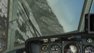
The highest mountains are now behind the aircraft.

Virtual C-130 Hercules aircraft with three engine failures enroute to the Bonners Ferry airport.

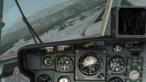
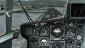
The Bonners Ferry (65S) runway is in sight.

Virtual C-130 Hercules aircraft with three engine failures, by the Bonners Ferry's runway.
Virtual C-130 Hercules aircraft with three engine failures, by the Bonners Ferry’s runway.

The fourth engine stops. The flaps will not be functional for the landing.

From now on, the pilot should save the virtual flight a few times since it is possible that several trials will be necessary to glide sucessfully to the airport. This is the fun of virtual flight.

The four engines have now failed on that virtual C-130 aircraft.

The C-130 Hercules has become a big glider. When the speed is maintained, the aircraft loses more 1000 feet per minute. It is easier to feel the aircraft’s inertia.

The wheels will be brought out only when necessary since the gear adds a lot of drag.

From the position indicated in the picture below, it is impossible to arrive to the airport in a straight line: the aircraft will glide over the airport. In the picture, the aircraft seems to be on a good path for landing, but it is an illusion caused by the wide-angle format chosen for the screen capture.

The aircraft is definitely too high. It is impossible to use the flaps to increase the rate of descent.

Lockheed C-130 Hercules virtual aircraft with four engine failures on the approach to the Bonners Ferry's virtual airport (65S).
Lockheed C-130 Hercules virtual aircraft with four engine failures on the approach to the Bonners Ferry’s virtual airport (65S).

One must choose between 1) sideslips 2) a 360 degree turn to lose altitude or 3) multiple steep turns perpendicular to the runway to increase to distance to the airport.

What would you choose?

There is no universal method. The 360 degree turn is riskier but can prove efficient. An Airbus A330-200 flown by Quebecer Robert Piché that had lost all of its engines landed successfully in the Açores in 2001 after attempting a last minute 360 degree turn to lose altitude. But here, I did not believe there was enough altitude to safely complete the turn and reach the runway.

A few steep turns were made to extend to ride to the airport. Why steep turns? In order to avoid getting closer to the airport before an acceptable altitude was reached. This method helped keep an eye on the runway at all times to verify if the slope to the airport was still acceptable.

Fourty degree turn to the right on the approach to the Bonners Ferry's airport.
Fourty degree turn to the right on the approach to the Bonners Ferry’s airport.
Steep turn to the left to extend the distance to the Bonners Ferry airport.

I tried the three methods, always starting from the same saved flight (photo 10). After several sideslips, the aircraft was always approaching the airport too quickly. There was not enough time to lose altitude. The final speed always happened to be too high to stop a C-130 without flaps or thrust reversers.

The 360 degree turn, be it right or left, with different angles and a reasonable speed, always incurred a loss of altitude that brought the aircraft 200 to 300 feet short of the threshold.

Finally, after a few steep turns, the aircraft was positioned on final with the appropriate speed and altitude.

View of the Lockheed C-130 Hercules with four engine failures, on the approach for Bonners Ferry (65S).

A few last seconds adjustments, to reposition the aircraft in the center of the runway.

Speed 150 knots. End of the turn for the Bonners Ferry's airport.
Speed 150 knots. End of the turn for the Bonners Ferry’s airport.

At 140 kts, but without any reverse thrust, the whole runway should be necessary to stop the aircraft.

Speed 140 knots, aligned with the Bonners Ferry's runway.
Speed 140 knots, aligned with the Bonners Ferry’s runway.

The landing was smooth and the aircraft stopped short of the threshold.

For an unknown reason, the anemometer was still indicating a 10 kts airspeed, even when the aircraft had stopped.

C-130 cargo aircraft on the Bonners Ferry's runway.
C-130 cargo aircraft on the Bonners Ferry’s runway.
Lockheed C-130 Hercules virtual aircraft after landing at the Bonners Ferry (65S) airport.
C-130 Hercules aircraft in Bonners Ferry.

Try such a flight in the virtual mode. The worst that can happen is that you have fun!

For more near impossible flights, head to:

Unhinged Virtual Flights

Categories
Flight Simulation

Challenging virtual flights : the interception of aircrafts in flight simulation.

An interesting challenge for flight simulation enthousiasts consists in searching and intercepting virtual aircrafts that are flying randomly: those without any known flight plans.

The degree of difficulty varies accordingly with the intercepted aircraft and the interceptor.

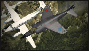
The screen capture below shows a relatively simple interception since it is not too difficult for the AV-8B Harrier to modify its speed according to the high cruising speed of a Beechcraft B350.

Virtual Beechcraft B350 aircraft intercepted by an AV-8B Harrier.

In order to increase the difficulty, the flight simmer could attempt the interception in flight of a relatively slow aircraft with a military jet.

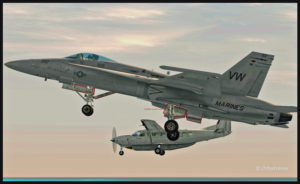
A challenging virtual flight can be executed by using a CF-18 and adapting its speed and altitude to that of the intercepted aircraft while flying in formation for one minute. In order to succeed, it will be necessary to set the CF-18 in a slow flight configuration with the wheels out.

Virtual Cessna C208 aircraft intercepted by a CF-18

This type of interception is sometimes done in real life when an aircraft accidentally (or not) enters a restricted zone. A military jet must then take-off, reach the unknown target, get very close and make the appropriate signals ordering it to follow him to the closest military base.

Once in flight, do not forget to take a screen capture! Good luck and have a good flight!

Click on the link for other challenging virtual flights on my blog.
Categories
Flight Simulation

The Captain Sim’s B-52 in flight simulation

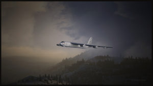
Here are a few modified screen captures of a recent virtual flight made with the Captain Sim’s B-52.

Captain Sim's virtual B-52 aircraft in southern California
Captain Sim’s virtual B-52 aircraft in southern California

The high quality of the modelized clouds and of the landscape in the background helped create screen captures that were even more realistic. FSX was the flight simulation platform used for the flight.  REX Simulations made the virtual cloud textures.

The landscape is a creation of ORBX. At the base of the three screen captures were the following ORBX products: FTX Global Base Pack, FTX Global Vector, FTX Global Open LC North America, FTX Global Trees HD and NA Southern California. The time for the flight was early in the morning.
Virtual clouds created by REX. FSX flight simulation platform.

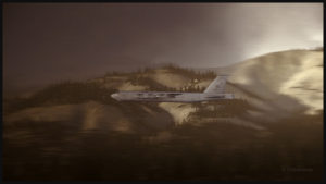
In the picture below, a few modifications were made using Photoshop to induce a feeling of speed. When comes the time to modify the screen capture of a virtual aircraft with an image editing software, the same rules apply as for a normal picture: moderation gives better results.

A virtual B-52 at high speed and low altitude in Southern California.

The sound of the Boeing B-52’s eight engines is quite impressive. Despite the enormous power available for take-off, the flight simulation enthousiast cannot simply apply full power and hope that the military jet will get airborne. By the book procedures have to be followed, otherwise there won’t be any take-off. A parachute can be deployed when landing for a better visual effect, but the flight simulator will not include it in its calculations for the required landing and breaking distance.

Categories
Flight Simulation

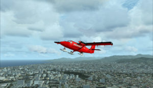
From Chile to Rothera, Antarctica, with the BAS Twin Otter and the FSX flight simulator

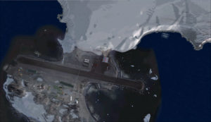
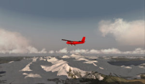
Aerial view of the Rothera research station in Antarctica.

For this flight, you will need the Antarctica X flight simulation software made by Aerosoft.

The maintenance of BAS Twin Otters and their Dash-7 is done in Calgary, Canada, and head to Antarctica during the austral summer, between October and March. So if you want to try a flight simulation with a Twin Otter or a Dash-7 from Chile to Antarctica, pick one of those months as it is more realistic.

Since it would be a bit long to make all the virtual flights from Canada to Antarctica, I chose to do the last three legs to see what the landscape looks like.

A Twin Otter is normally approved for a maximum take-off weight of 12,500 pounds. But with skis weighing 800 pounds and additional fuel required to fly longer legs, BAS (British Antarctic Survey) has arranged to have their Twin Otters approved at 14,000 pounds. Even at this weight, the aircraft could still operate on one engine.

First, the aircraft departs La Florida airport (SCSE) in Chile, after a mandatory fuel stop before its next destination, the El Tepual de Puerto Montt airport (SCTE), also in Chile.

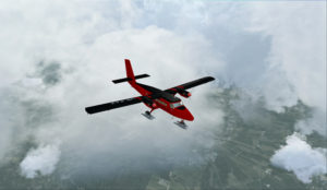
Airborne from La Florida, Chile, after refueling.

This virtual flight with the Twin Otter last about 4:25 hours (696 nm) with a heading of 185 degrees.

In flight towards El Tepual de Puerto Montt, Chile.

For the screen captures, FTX Global, FTX Vector and Pilot’s FS Global 2010 were installed. Orbx has also reworked the original El Tepual de Puerto Montt airport to include some people, aircrafts and new buildings. It makes for a more interesting destination.

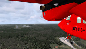
Twin Otter on final approach for El Tepual de Puerto Montt, Chile.
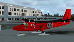
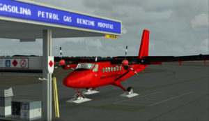
Ready for refueling at the El Tepual de Puerto Montt, Chile.

The next flight is from the El Tepual de Puerto Montt airport (SCTE) to Punta Arenas (SCCI), both in Chile.

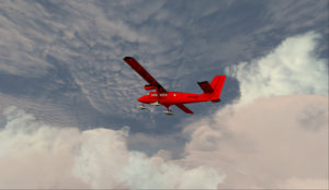
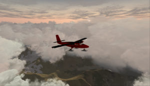
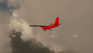
Twin Otter aircraft airborne and heading to Punta Arenas, Chile.

This flight, made low across the Andes, absolutely requires good weather. You will have to climb to 17,000 feet to make the direct route between the airports.

Twin Otter over the Andes climbing for17,000 feet

There are often spectacular views available to the virtual pilot. Yes, the BAS Twin Otter is flown by only one pilot, but there is always somebody else accompanying him.

Twin Otter aircraft approaching Punta Arenas, Chile.

Don’t forget to lean the mixture during the climb. Also use some additional oxygen (!!) if you don’t want to start singing and flying in circles after a while. Again, pay attention to the mixture during the descent, considering that you will be losing close to 17,000 feet.

Refueling at Punta Arenas, Chile.

The Punta Arenas airport, straight from FSX, is not an interesting airport to look at. It is a very bare airport, with just a single building and a VOR.

But since the BAS pilot do that mandatory leg just before heading to Antarctica, I chose not to change the route. The general direction for the flight to Punta Arenas was 164 degrees and the duration approximately 4:28 hours. You can obviously accelerate the process once the aircraft is established at its flying altitude.

The last flight is from Punta Arenas, Chile, to Rothera, Antarctica.

Twin Otter aircraft heading for the Rothera airport in Antarctica.

The Twin Otter will take between six and seven hours on an average heading of 162 degrees to cover the distance between Punta Arenas (SCCI) and Rothera (EGAR).

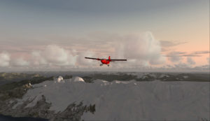
Over the snowy mountains of Chile towards Rothera, Antarctica
Carrying extra fuel on the flight towards Rothera, Antarctica.

The runway at Rothera is made of gravel and is 2953 feet long. That is plenty for the Twin Otter and the DASH-7. Before you make the flight, go into the aerosoft/Antarctica X file in your flight simulator and click on the “LOD 8.5” option (the default is at LOD 4.5). It will give you much better details when you are approaching Antarctica.

The antarctic Rothera research station is in sight
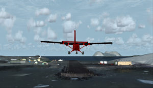
Twin Otter aircraft on final at Rothera, Antarctica.

The Airliner World magazine had an excellent article on the BAS operations in Antarctica in its March 2017 edition. It included plenty of interesting pictures and detailed explanations on what is expected from pilots and personnel working for BAS. I compared the Rothera virtual airport with the real one through the available pictures in Airliner World and was pleasantly surprised with the level of accuracy of the details.

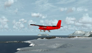
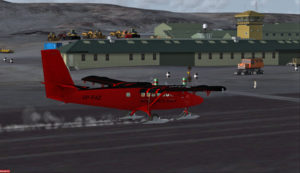
A British Antarctic Survey Twin Otter aircraft is landing on the Rothera runway, Antarctica

The BAS always prepares itself for the worst: “[It] carries parts valued at around $5m, including a replacement engine for each aircraft, spare props and undercarriage components”.

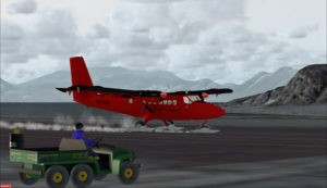
Twin Otter aircraft after a landing on the Rothera runway, Antarctica

A new development for the Air Unit has been its work with the RAF, using C-130 Hercules transports to airdrop supplies into the field. They fly from Punta Arenas and drop fuel to support our science programmes on the Ronne Ice Shelf. […] It is all part of their training system and the accuracy they drop to is very impressive. They might drop 250 drums, think how many Twin Otter trips that would have been for us (48 or more than 400 flying hours)”.

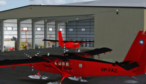
The main hangar in Rothera, Antarctica.

Aerosoft has made an excellent job in replicating the buildings in Rothera, BAS’s main research station in Antarctica. The biggest hangar can accommodate three Twin Otters and a Dash-7 altogether.

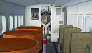
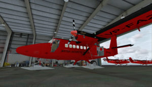
Inside the main hangar at the Rothera research station, Antarctica.

When your flight is over, do not forget to change the settings back to LOD 4.5 for Antarctica in your aerosoft/Antarctica X files.

For other standard virtual flights, click here:

Standard Virtual Flights

For more articles on flight simulation on my web site, click on the following link : Flight simulation

Categories
Flight Simulation

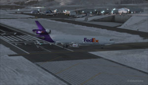
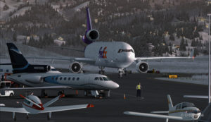
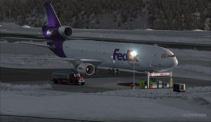
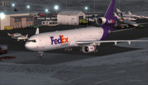
Flight simulation: a FedEx MD-11 inbound for the Telluride airport (KTEX) (FSX)

The flight simulator enthousiast will have fun trying this short flight ( 14 minutes) from the Eagle County virtual airport (KEGE) to the Telluride virtual airport (KTEX). The virtual flight, using FSX, was made during winter, on January 8th. The shots below represent an idea of what is visible while flying toTelluride. Use 14,000 feet, it should do it…

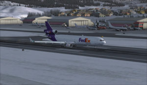
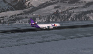
FedEx MD-11 on the take-off run at the Eagle County airport (KEGE) (FSX)
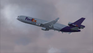
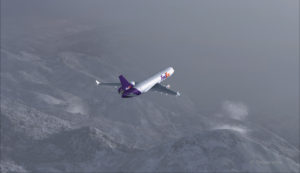
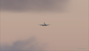
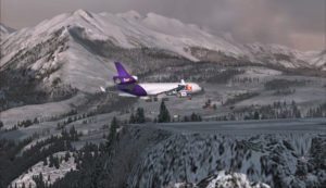
FedEx MD-11 airborne from the Eagle County airport (KEGE) (FSX)
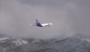
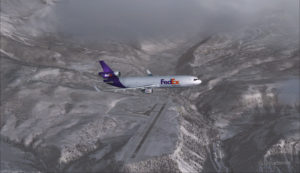
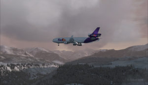
FedEx MD-11 between Eagle County airport (KEGE) and Telluride airport (KTEX) (FSX)

There are lots of beautiful mountains between KEGE and Telluride, and also some unpredictable weather…

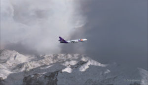
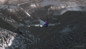
FedEX Md-11 entering bad weather

The expected ceiling at Telluride was 8500 ft. On the way to the airport, the clouds and visibility were sometimes obscuring the mountains.

A FedEx MD-11 on a flight Eagle County (KEGE) to Telluride (KTEX) (FSX)

Telluride is a very inviting airport for a MD-11. The 7000 feet runway itself does not represent a big challenge, although its 100 feet are a bit narrow: this aircraft would normally require a 150 feet wide landing surface.

The virtual VFR approach made with the MD-11 was the most expensive way to do the trip, since it required a fly-by and a 270 degree turn to the right to align with runway 09.

FedEx MD-11 flies by the Telluride airport KTEX) (FSX)

The 270 degree turn at a 10-20 degree bank allowed to transit from 14,000 to 10,000 ft without doing anything radical. Just a turn while descending and gradually loosing speed to arrive at around 160 kts on final. The aircraft was now installed on long final, with flaps set at 50 degrees.

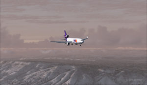
A FedEx MD-11 on long final runway 09 for the Telluride airport (KTEX) (FSX)

The high altitude runway’s 9078 feet msl elevation meant the pilots dealt with lower air density and heavy weight when approaching and, as such, the airspeed had to be adjusted accordingly to prevent stalling on final.

A FedEx MD-11 on final runway 09 for the Telluride airport (KTEX) (FSX)

Here is a view from the Telluride tower…

View from the Telluride airport (KTEX) (FSX) of a FedEx MD-11 on final for runway 09

Now with a view like that, you would not consider coming in IFR…!

A FedEx MD-11 inbound from KEGE on final for runway 09 at the Telluride airport (KTEX) (FSX)

To prevent an overshoot and some additional expenses in fuel (which are already skyrocketing), an optimal approach was required.

Most accidents with the MD-11 happen when the pilot pushes on the stick when there is a rebound with the nose wheel, thus creating an even stronger rebound. When there is a rebound, there is no need to push on the stick, just wait and the aircraft sets itself quickly.

A FedEx MD-11 over the threshold runway 09 at the Telluride airport (KTEX) (FSX)

Now with max breaking and thrust reversers…

A FedEX MD-11 slowing down at the Telluride airport (KTEX) (FSX)

The MD-11 can easily turn at the first taxiway at Telluride. But in order to capture a wider view of the airport, I exited at the last taxiway (again adding to the already enormous expense in fuel…)

A FedEX Md-11 is exiting runway 09 at the Telluride airport (KTEX) (FSX)

The employee on the ramp was worried that the MD-11 lower winglet would scratch N900SS while taxiing. But there was plenty of space (11 inches)…

A FedEX Md-11 is taxiing on the ramp at the Telluride airport (KTEX) (FSX)

The MD-11 was parked temporarily in a spot needed by every aircraft. It was necessary to unload quickly the precious cargo and get out of the way.

Temporary parking for a FedEx MD-11 at the Telluride airport (KTEX) (FSX)

Some expert handling would be needed to help move back that MD-11 close to the runway. But that was the Telluride’s airport manager problem and he had promised he would have something ready!

FedEx Md-11 parked at the Telluride airport (KTEX) (FSX)

The virtual scenery from departure to destination is a creation of ORBX programmers and the virtual MD-11 is made by PMDG Simulations (I am not sure it works with P3D though). For the weather, I used REX Simulations as the weather engine and REX and Cumulus X for the cloud textures. (Edit: PMDG does not support it’s MD-11 anymore).

For other challenging virtual flights, head towards the flight simulation section of my web site, under “challenging virtual flights”: there is something for everyone!

For more articles on flight simulation on my web site, click on the following link : Flight simulation