The information below applies to those interested in stand-up paddleboarding in Quebec City, from the “station de la voile” towards the “station de la plage” and the surrounding area.
Before setting out, check the general weather forecast.
Those with some aviation knowledge should check the CYQB TAF (Terminal Area Forecast) for wind estimates.
Also check the tide table (Lauzon) to see if the tide is rising or falling.
Wearing a personal flotation device (PFD) is mandatory. A wetsuit is strongly recommended, as the water in the St. Lawrence remains cold, even in summer. Here’s a useful rule for deciding what to wear: the water temperature plus the air temperature, compared to 37 °C. If the result is less than 37, a wetsuit is preferable. If the water is 10 °C or colder, regardless of the air temperature, a waterproof layer is essential.
For water temperature near Quebec City, click on “water temperature.”
Buoys measure the temperature. Another possible site for the winds: Windy.
Wetsuits come in various thicknesses (2, 3, or 5 mm for slightly colder conditions).
The wetsuit should fit snugly against the body to prevent air pockets from forming between the skin and the material. If you’re in saltwater, you can apply lotion to your skin under the wetsuit (since water seeps through the wetsuit and can irritate the skin).
Hypothermia: the human body can withstand a maximum of fifteen minutes in water at 5 °C.
The “rule of 12” is taken into account when launching a paddleboard on the river. Each hour corresponds to a more or less rapid rise or fall in water flow. On the St. Lawrence River near Quebec City, the tidal range is three metres. A tidal cycle lasts about 6 hours. During the first hour (1/12) = 1/12 of three metres = .25 metres. The tide changes by .25 metres during the first hour. The second hour (2/12) = .50 metres. The third and fourth hours: 3/12 each. Therefore, during the third and fourth hours, the tide varies by 0.75 metres each hour. The fifth hour: 2/12. Sixth hour: 1/12.
From the “station de la voile”: if the tide is falling and winds are blowing from the S, SW, W, or NW, there are two obstacles when heading west. There is a headwind component, and the person paddles against the current. Check whether the wind strength allows you to launch the board and head west first, especially if the tide is falling.
The safer approach is to exert effort at the start of the trip and coast on the return.
If you decide to head west with an incoming tide, the trip out will be very easy, but you’ll have to paddle hard on the way back.
To gauge the effort required, you can choose a reference point along the Champlain Promenade and note how far the board drifts when you’re not paddling. Then, compare that to your progress when paddling normally. For example, during a trip westward with an ebb tide (water flowing back to the sea) and winds from 250 degrees at 10 knots, I paddled for over an hour just to reach the first stone pier near the “station de la plage”. This included using the double paddle.
At the ends of the stone jetties extending into the river at the sailing and beach stations, waves come from all directions.
Kneeling on the board, you can catch higher waves and have more power to paddle.
The river has short, long, and very long waves that mix. You may dip a few feet in the through and rise back up on the ridge when the wave is large. There are also times when you’re pushed sideways. Keep an eye on the shore to see which way you’re being carried.
To maintain your balance, keep your eyes on the horizon at all times. Alternate between twenty-minute sessions standing up and then kneeling to rest. If necessary, set up a board seat and use a double paddle while seated for a change.
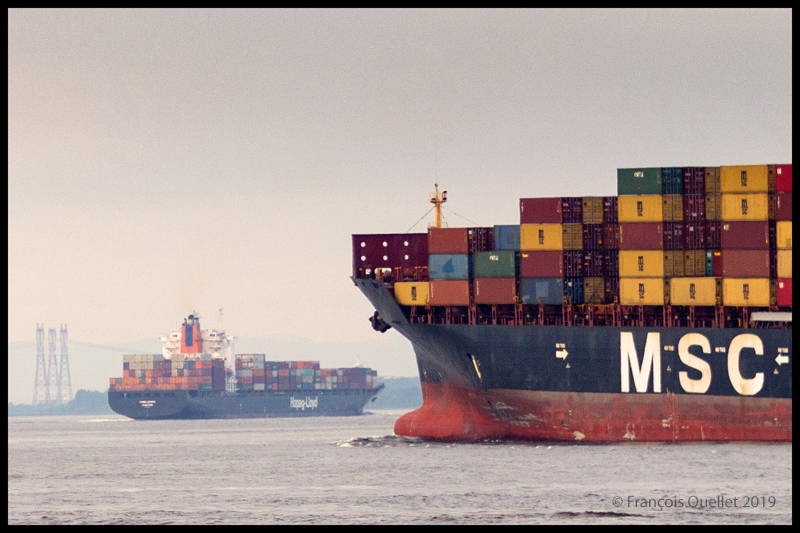
You must not stray too far from the shore to avoid becoming a victim of sailboats or jet skis travelling at high speeds in areas that require more cautious navigation.
When a large ship passes offshore, two-foot waves arrive a few minutes later, gently lift you up, then continue on and crash against the banks on either side of the river. They return to the paddleboarder much later and are much weaker.
Take this opportunity to relax. Since this is a water sport, it’s normal to end up in the water from time to time.
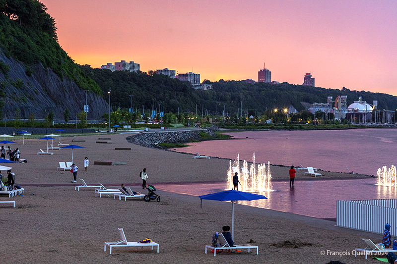
There’s a beach near the “station de la voile.” It has few sharp rocks. However, keep an eye out and avoid going there when the tide is at its highest.
Have fun!
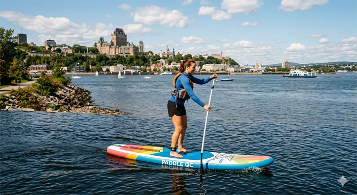
A paddleboarder on the St. Lawrence River, as imagined by AI.
Click the link to see more photos of Quebec City on my blog.