Today, the Antonov 225 is reborn for another leg of this world tour of flight simulation. In reality, this aircraft was destroyed by Russia during its invasion of Ukraine. At the time of writing, war is still raging between the two nations. But in virtual mode, we have more latitude to alter the course of events and simulate peace.
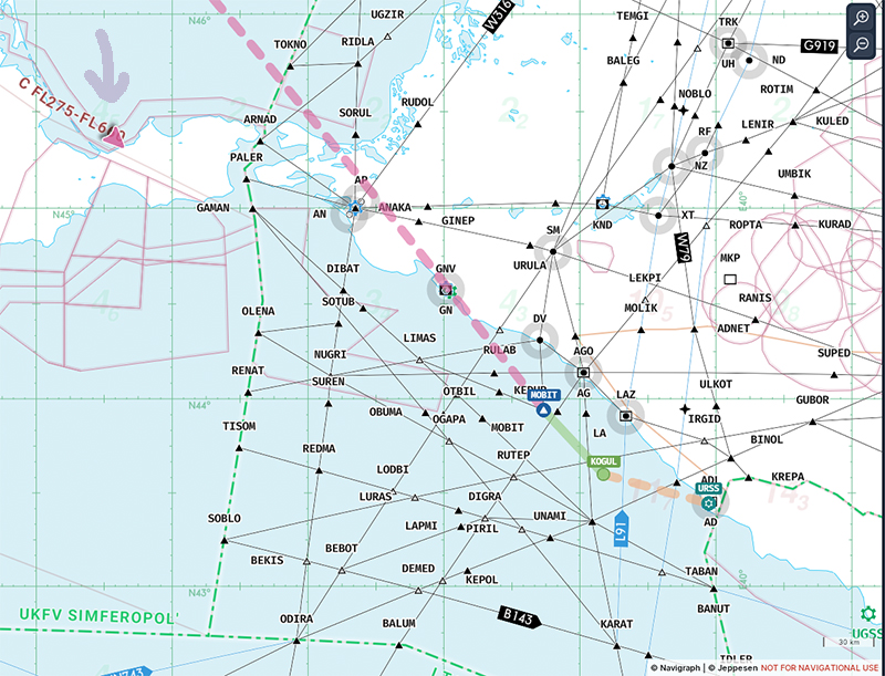
So, we leave Ukraine’s Antonov airport (UKKM), fly over Crimea and then stop off in Sochi, Russia (airport code USSR). Our destination is Lublin airport (EPLB) in Poland.
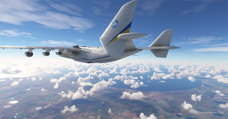
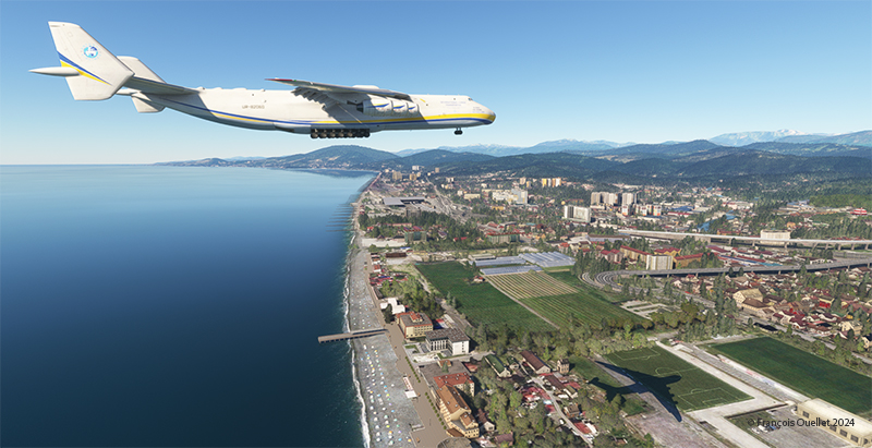
The weather is looking good, with clear skies for the arrival in Sochi. The scenery around Sochi is splendid, and it’s best to land in good weather.
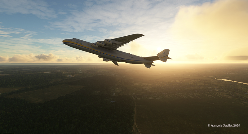
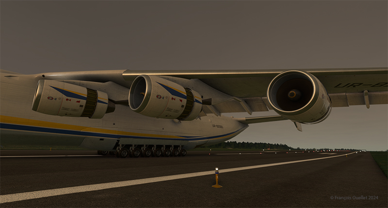
Take-off is a breeze, but the Antonov 225’s heaviness takes some getting used to. The weight of the aircraft means that every time the pilot makes a maneuver with the flight controls, initially nothing happens. Then, the aircraft slowly begins to obey. So, you have to expect delays and anticipate the outcome of maneuvers.
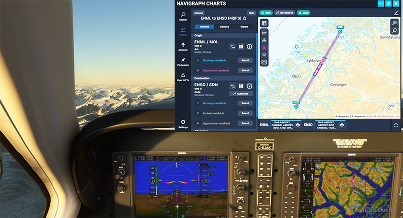
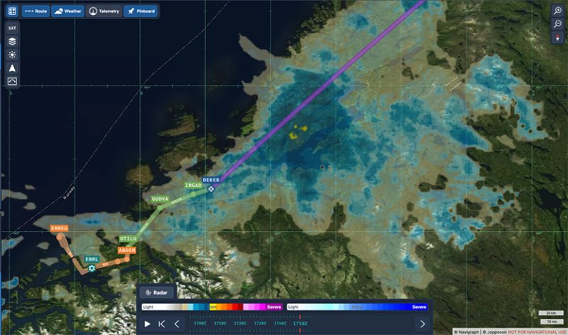
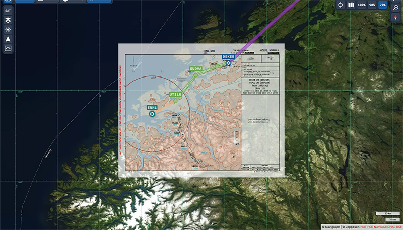
Navigraph is used for navigation. Of course, I plan to deviate from the initial route to fly over Crimea and then on to Sochi.
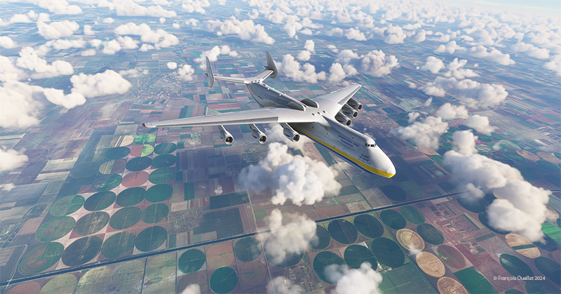
Below, the ploughed fields of the Ukraine. Ukraine is considered the breadbasket of the world.
Crimea is a beautiful region from the air, but fiercely contested on the ground. A pilot would say that today, it’s more turbulent down there than up.
A few minutes later, the flight over the Sea of Azov begins in the direction of Sochi.
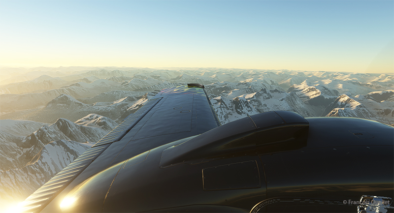
The approach is spectacular, with the surrounding mountains. As with all large aircraft, the Antonov has to be stabilized well in advance to avoid overcorrecting on final.
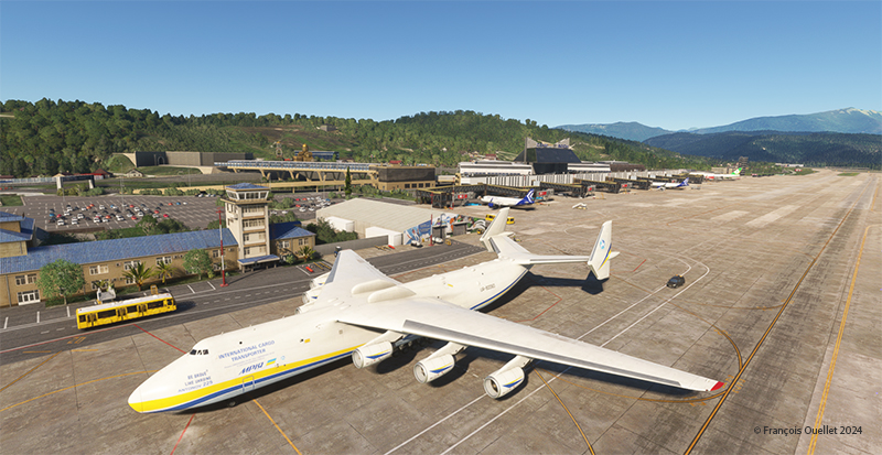
The cargo plane stops in an extremely short distance for such a heavy aircraft. When the thrust is reversed on six engines, there’s no need to set the brakes to maximum, especially in Sochi. We make a short stopover.
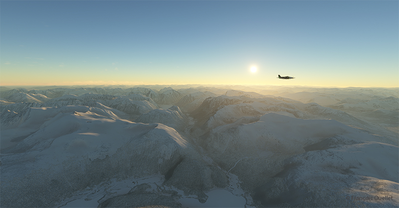
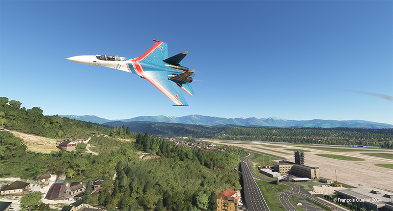
Just after our arrival, a Russian Sukhoi 27 military jet makes a low pass near the tower. The fighter jet was created at the time in response to the construction of the American F-15.
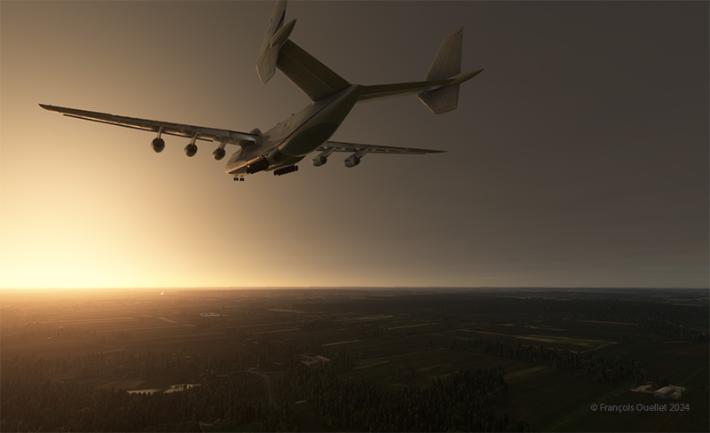
The flight resumes in the late afternoon. Below, the Antonov 225 is on final approach to runway 25 at Lublin airport in Poland.
The thrust reversers allow the aircraft to exit onto the taxiway in the middle of the runway.
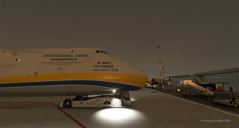
We get a little help with parking.
The next stage of this round-the-world flight simulation will be with a smaller aircraft, heading for Germany. A flight over Göttingen is planned with a helicopter (D-JORG). The trip will end at Paderborn Lippstadt Airport (EDLP).
Click on the link to read more about this round-the-world flight simulation on my blog.