Categories
Photos of Quebec

A beautiful trip to Lac-Saint-Jean and Alma.

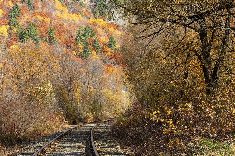
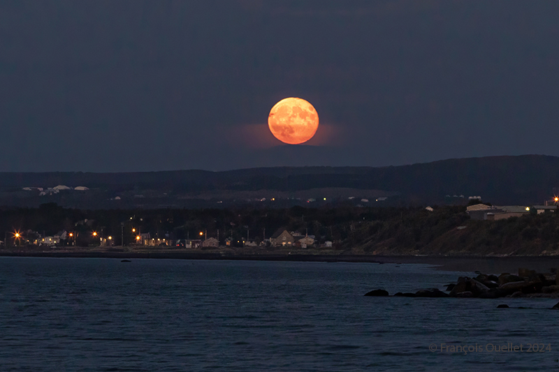
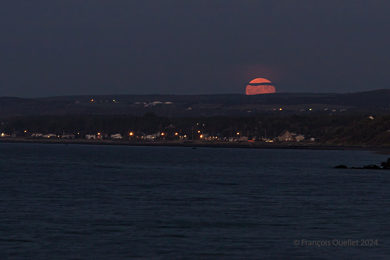
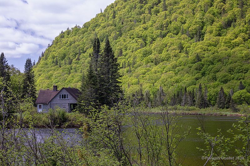
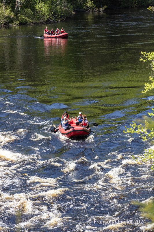
After visiting the La Malbaie region, the Saguenay Fjord, Bagotville, and La Baie, all of which were featured in my previous blog post, we continue our journey to Saint-Gédéon, along the Lac-Saint-Jean, Alma,  and then back to La Baie at nightfall.

Lac-Saint-Jean, September 2025

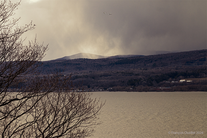
Lac-Saint-Jean has a circumference of 263 kilometers and covers an area of 1,003 square kilometers. When we were there, the wind was blowing moderately, and it’s easy to imagine the swells that boaters must face in the middle of this immense expanse of water. Some sources cite waves up to 4 meters high during extreme weather conditions.

Hay bales near St-Gédéon, Lac Saint-Jean 2025

In September, farmers store hay bales. Around 6 p.m. in the Saint-Gédéon region near Lac-Saint-Jean, the sun hits the field from the side, beautifully illuminating the hay still outside. An excellent opportunity for landscape photography.

Just before nightfall and our departure for Alma, we take a few shots of the wind turbines near the lake. The photographic composition requires a vertical frame.

Wind turbines at dusk in Lac-Saint-Jean, Quebec 2025

On the way to Alma, we stop at Boulangerie Fromagerie Médard, a must-visit spot, to treat ourselves!

In Alma, we take the opportunity to eat at the restaurant owned by Mario Tremblay, a star hockey player for the Montreal Canadiens who is now retired. It was well worth the stop! I took a photo of the restaurant entrance where you can see the hockey player in action!

Entrance to Mario Tremblay's restaurant in Alma
Entrance to Mario Tremblay’s restaurant in Alma

The journey continues in the next article, where we stop in Tadoussac for a whale watching cruise.

Click on the link for more photos of Quebec on my blog.

Categories
Photos of Canada Photos of Quebec

Paddleboarding in Jacques-Cartier National Park

A paddleboard enthusiast on the Jacques-Cartier River in Quebec 2025

An excellent spot for paddleboarding (SUP) in the Quebec City area is located at kilometer 25 (EKWATEK) of Jacques-Cartier National Park. There are no services as such at this location, but a large free parking lot provides easy access to the riverbank, which is only a few meters away.

The natural surroundings are breathtaking. Bring a good camera (or at least a cell phone) in a waterproof bag. There are several splendid spots for landscape photography.

As summer progresses, the water level drops. However, even in fall, the river remains deep enough to enjoy your sport in complete peace of mind. At first, paddleboarders follow the gentle current of the Jacques-Cartier River southward. So there’s no need to paddle vigorously! You can just let yourself go. You’ll know when it’s time to turn back when you see small waterfalls in the distance. To avoid damaging the board, you turn around.

On the return trip, the effort required is greater, but not excessive. In strong north winds, bring a paddle to which you can attach an oar in place of the handle, giving you the feeling of paddling like a kayaker. Sitting or kneeling on the board, you will return to your starting point more quickly.

In the event of a southerly wind, the energy required to return is minimal. This allows you to make several round trips and spend a few hours on the river without getting exhausted!

A beautiful summer day in Jacques-Cartier National Park

On your way to kilometer 25, you can admire several scenes like this. The surroundings are magnificent! Green, yellow, and orange are the colors of autumn. There is very little red in the area. The orange color is concentrated mainly at the beginning of autumn, while the yellow persists much longer. The photo above was taken at the beginning of August.

Click on the link for more photos of the province of Québec on my blog.

Categories
Photos of Canada Photos of Quebec

Photography in Jacques-Cartier National Park

Reflections in Jacques-Cartier National Park in summer.

Photography technique

Even if the initial goal is to go paddleboarding on the Jacques-Cartier River, you can bring a camera, just in case a special scene merits a photo. It is best to shoot in RAW mode to make it easier to correct imperfections later.

Today, the complete absence of wind allows for exceptional reflections for landscape photography. But you have to choose your environment carefully: no distractions should break the effect. The goal is to create momentary confusion through a mirrored scenery.

A tight frame keeps the panorama identical in both parts of the photo. You must then ensure that the horizon is as straight as possible. Finally, you can improve the initial image by reducing the smoke haze. Indeed, the summer of 2025 in Quebec will have been the one where forest fires in Western Canada considerably impacted on visibility in Quebec.

The sun slowly sets over Jacques-Cartier National Park.

I took this photo of the Jacques-Cartier National Park Valley in the late afternoon to profit from the soft lighting. Also, in August at this time, the sun in the southwest hits the eastern slope. The light is then reflected in the middle of the valley and diffused through the smoke. Some of the haze can be removed, but it is important to keep enough of it to preserve the majestic effect of the landscape.

In the foreground, paddleboarders, barely visible, enjoy the exceptional light of the late afternoon.

Click on the link for more photos of the province of Quebec on my blog.

Categories
Photos of Quebec

Autumn photos in Quebec.

Cap Tourmente National Reserve 2024

Above, a railroad track crossing the Cap-Tourmente National Wildlife Area in Quebec. Autumn is well underway and red is no longer part of the scene. However, the colors remain attractive. At the time of our visit, only 26,000 of the 600,000 geese migrating south remained.

Trees in the Montcalm dictrict in Québec City during Autumn 2024.

The Montcalm sector of Quebec City is brimming with majestic trees that change colour in autumn. Those photographed above are located right next to the Battlefields Park, owned by the Government of Canada.

Trees of the Grande-Allée in Quebec City in Autumn.

The tree above is on Grande-Allée, in the direction of Old Quebec. I shot it using a Canon EF 11–24 mm f/4 USM wide-angle lens. All I had to do was wait until 10:00 AM for the sun to strike the foliage from the side. Earlier than that, the brightness is a little lacking, and later the sun rises too high and hits the foliage from above with a violent light that detracts from the overall effect.

Trees in a Sillery street in Québec City during Autumn 2024.

Above are a few trees in the Sillery area of Quebec City. It’s not often that red leaves cover several tree trunks. You have to be there at the right time, because the effect doesn’t last long. We also need to be able to count on the wisdom of homeowners who have seen fit to let nature do its job, rather than cleaning everything up to make it look “nicer,” as we sometimes see.

Click on the link for more photos of Quebec City and Île d’Orléans in Autumn on my blog.

Categories
Photos of Canada Photos of Quebec

The full harvest moon of September 2024.

The full harvest moon rises in the Matane sky in September 2024.

The photo above was taken in Matane, Quebec, in September 2024. It’s more a matter of chance than planning. I was on the beach photographing the sunset, and when the sky got too dark, I turned around to see if there was anything interesting left to capture. And I came across this full harvest moon rising in the firmament.

Photographing a full moon is a good challenge. We often capture only an almost white, very bright disk, losing the nuances of colour and the details of the lunar geography.

The advice available on the Internet on how to successfully shoot a full moon with a normal camera goes in all directions. But one thing’s for sure: to improve your chances of success, it’s best not to wait until nightfall, because then the very high luminosity of the star becomes impossible to attenuate while still retaining a view of the planetary topography.

Most of the time, the choice is between an excellent photo of a full moon, but a very dark surrounding earth relief where nothing is discernible, or a visible earth relief of acceptable quality, but a moon that represents nothing more than a large, white circle of light.

The method that works for the photo above is as follows: you have to be on the spot at the right time, i.e., during the blue hour and not the whole night. So, in my case, I was lucky because it wasn’t planned.

You need a tripod and an extension cable. There are two reasons to avoid long exposures: firstly, the moon is a moving object. The longer the exposure, the more the disk moves. You end up with an oval rather than a round moon. A long exposure also picks up more light, and the moon’s disk turns completely white.

Full harvest moon rising in Matane, Québec 2024

Compromises become necessary. Trying to get a perfect moon and foreground at exactly the right brightness is quite a challenge. By the time every attempt has been made to achieve a flawless result, the moon is already too high in the sky. We have to act quickly.

We’re advised to lower the ISO to 200, but if I do that, I’m increasing the exposure time and introducing too much light into the camera. Instead, I use a higher ISO to reduce exposure, and use all the camera functions likely to reduce the amount of light entering the camera: higher shutter speed, if necessary, strong negative exposure compensation, and so on.

By not overdoing the settings and using RAW files, there’s still enough flexibility to bring out the foreground, in this case the houses lining Matane’s beaches and the surrounding lights.

In short, shoot during the blue hour, act quickly, accept compromises, limit exposure time in every way possible and use RAW files to facilitate post-production work.

Click on the link for more photos from the province of Quebec on my blog.

Categories
Ship photography

Ships passing near Quebec City.

The Solar Sally from Shandong Shipping sailing south of Île d'Orléans. Summer 2023.
The Solar Sally from Shandong Shipping sailing south of Île d’Orléans. Summer 2023.

Above, Shandong Shipping’s Solar Sally photographed south of Île d’Orléans. I positioned the horizon according to the rule of thirds and gave plenty of room to the sky, filled with beautiful contrasts. The clouds let the sun filter through for a brief moment, bringing out the vegetation and horses. All that remained was to wait for the ship to enter the field of vision before taking the shot.

The Soulanges in front of Lévis in 2015.

The photo above shows the Soulanges, a tug built in 1905, on the St. Lawrence River in front of the city of Lévis. Seen from a distance, this type of vessel always looks like it’s sinking. The water seems to be overtaking the stern of the boat, but there are very few waves.

The Barcelona Express and the MSC Tuxpan on the St.Lawrence Seaway 2023

The Barcelona Express and the MSC Tuxpan meet in the middle of the St. Lawrence River, off Île d’Orléans. Lacking a telephoto lens on hand, I captured the scene with a Canon Ef 85mm f/1.2L II USM lens and enlarged the photo. The boats were at a much greater distance than they appear here. I used an image processing software with artificial intelligence to improve the focus after cropping.

The Federal Skye and Mona Lisa ships on the St. Lawrence seaway near Quebec City

Above, the Mona Lisa (green hull) sails from Montreal to the port of Tanger Med in Morocco. The container ship sails under the Liberian flag. The port of Tanger Med boasts an exceptional geographical location when it comes to transshipping goods to Europe, the Mediterranean and Africa. Also visible in the photo, the Federal Skye arrives from Vila do Conde Brazil (BR VDC) and heads for Les Escoumins in Quebec, Canada (CA QLE). This port has a dry dock where major repairs can be carried out. The Federal Skye sails under the flag of the Marshall Islands.

The MSC Tampa vessel by Quebec City in 2024.

A final photo shows the MSC Tampa sailing between Liverpool, Great Britain (GB LIV) and Montreal, Canada (CA MTR). This 294.12-meter-long container ship sails under the Liberian flag. The photo was taken from the Grey Terrace in Quebec City’s Parc des Champs-de-Bataille.

Click on the link for more Summer photos of Quebec City and Île d’Orléans and for more ship photography articles and photos on my blog.

Categories
Photos of Canada Photos of Quebec

The parc national de la Jacques-Cartier in Spring (2)

Fishing in the Jacques-Cartier national park in Spring in Québec.

A fisherman sits quietly in the river of the Jacques-Cartier national park  casting his line, while his companion watches from the shore. Here, everyone has as much space as they want to enjoy their hobby.

Some photographers use Photoshop’s “dehaze” function to keep the background sharp to infinity. I prefer to retain the natural feel of the scene. The violet-blue landscape visible at the top of the shot helps to capture the distance.

Forest in the Jacques-Cartier national park in Spring in Québec 2024.

People prepare for their outing in the huge ancestral canoe known as a rabaska. In the foreground, but no longer visible in the photo, was originally a group of vacationers launching an inflatable raft. But all these people were distracting from the main subject. Tight framing eliminated this obstacle.

Nature in the Jacques-Cartier National Park in Québec.

I use the frame-within-a-frame technique to present the multicolored reflections of the river in the photo above. There’s blue, orange and green, outlined by two vertical trunks on either side of the photo and an oblique branch at the top.

I use the same technique in the shot below, but in a less obvious way, as the frame in the foreground remains blurred. Attention is immediately drawn to the canoeists who are just finishing their trip and getting ready to dock.

Canoeing on the Jacques-Cartier river in Québec 2024

Click on the link for more photos of the province of Quebec on my blog.

Categories
Photos of Canada Photos of Quebec

Spring in Parc national de la Jacques-Cartier.

Spring in the Parc National de la Jacques-Cartier in Québec.

Normally, a 3:2 or 4:3 ratio is used to display in vertical mode. But the 16:9 aspect ratio of the photo above shows both the reverberations in the water and a significant portion of the landscape. So, whatever the conventions and what makes purists happy, we use what does justice to our first impression.

What caught my eye in this scene? The very wide range of green tones, the alternation of light and shade in the landscape and the reflections, the roundness of the deciduous trees and the tips of the conifers, the atmosphere of the place and, last but not least, the human presence. All this can be seen in a fraction of a second, and the shot is taken before the canoe enters the shaded area on the left.

Historic lodge in Spring in the Jacques-Cartier national park in Québec.

The photo above shows a historic chalet in Jacques-Cartier National Park in Spring. It’s no longer available for rent, but it’s a great asset for photography enthusiasts. At this location, paddleboarding is safe thanks to a very weak current.

Tourist attraction in the Parc national de la Jacques-Cartier in Québec.

On the same day and on the same river, but a few kilometers upstream, a group of people attempt their first descent in an inflatable boat on a rougher stretch of water.

The first group takes the plunge, while the second watches, waiting its turn and trying to learn from the others’ mistakes. Occasionally, paddlers get stuck on top of a flat rock flush with the water, and have to use their initiative to free themselves and continue their journey. Sometimes canoeists find themselves in the water, and Sépaq staff  have to help them out.

Click on the links for more photos and other articles about the province of Quebec.

Categories
Photos of Canada Photos of Quebec

A Spring day in 2024 on Île d’Orléans.

Profiting from the strong winds at île d'Orléans 2024
Profiting from the strong winds at île d’Orléans 2024

A single-day visit to Île d’Orléans for a photography session was enough to capture a wide variety of cloudy conditions in April 2024. In spring, when unstable, humid air crosses the mountain range north of the St. Lawrence River, you can expect anything on the island. Above, a kitesurfing enthusiast practises his art between localized showers. All he cares about is strong winds.

Coloured houses of Île d'Orléans. Spring 2024.
Coloured houses of Île d’Orléans. Spring 2024.

A few kilometers from route du Mitan, colourful houses and a bit of blue-sky contrast with the showers elsewhere on the island. You can see that the cloud layer in the distance is not very thick.

Looking north from île d'Orléans, Spring 2024.
Looking north from île d’Orléans, Spring 2024.

Above, a towering cumulus (TCU) approaches the St. Lawrence River in the late afternoon from the north. It is likely to cross the river towards the island, if it has not lost some of its strength, in the meantime, due to subsidence, the phenomenon that forces air to compress and warm as it is forced down a mountain range.

Sailboats on île d'Orléans. Spring 2024.
Sailboats on île d’Orléans. Spring 2024.

The shape of the clouds in the photo above gives a good indication of the strength of today’s winds. You can hear it whistling through the ropes and between the masts of the sailboats at the marina in the municipality of St-Jean, île d’Orléans. At the time of my visit, some owners were preparing their boats for the warmer periods of May.

A house on île d'Orléans, Spring 2024.
A house on île d’Orléans, Spring 2024.

I really like the scene above, but I admit that some might find it dark, if not sinister. It was this slightly disturbing aspect that caught my attention and that I tried to capture.

A boat requires repainting on île d'Orléans, Spring 2024.
A boat requires repainting on île d’Orléans, Spring 2024.

In this last photo, the sky is practically clear. It is then easier to obtain better contrasts. A pseudo-HDR treatment brings out the paintwork on a boat that has seen better years.

Click on the link for more photos of Quebec City and Île d’Orléans in Spring on my blog.

Categories
Photos of Canada Photos of Quebec

The Parc national de la Jacques-Cartier during winter.

Hiker entering the Jacques-Cartier National Park's forest, Winter 2024.
Hiker entering the Jacques-Cartier National Park’s forest, Winter 2024.

The province of Québec offers in 2024 a free admission to Parc national de la Jacques-Cartier a few days a week. This means more visitors than ever before head for the park. Hikers seeking absolute peace and quiet should opt for the paid days.

Even so, if you look carefully, it’s always possible to spot a lone walker, as in the photo above. Most people take the marked trails for ease, but others, like the individual above, venture out on snowshoes near the Jacques-Cartier River, which is completely covered in snow at this time of year.

Jacques-Cartier National Park's landscape, Winter 2024.
Jacques-Cartier National Park’s landscape, Winter 2024.

Approximately three kilometres from the Discovery and Services Chalet is a bridge. From here, the hiker can capture some very beautiful scenes. In winter, an interesting effect can be achieved by positioning yourself close to the banks.

November in the Jacques-Cartier National Park in Quebec, 2023

This scenery relaxes me so much, yet there are no spectacular elements. Rather, all the components are in perfect harmony: reflections in the water, some bluish snow here and there, brushes and a few leaning trees lit from the side by a soft late afternoon light. As the large trunks occupy the majority of the scene, I chose a vertical format for the photographic composition.

Photo of the Jacques-Cartier national park, Winter 2024.

Above, the landscape attracts the eye with its combination of horizontal, vertical and oblique lines, as well as its alternating black and white in the foreground. I positioned myself to include in the scene a large branch that enters the photo from the top right-hand corner.

The foreground features open water, snow-covered ice, pure ice and snow-covered ice again. In the middle ground, coniferous and deciduous trees. In the background, a forest revealing the snow on the mountain floor. I’ve left only a hint of sky, as the latter offers no particular interest on this cloudy February day, other than to add some white to complete the alternation of colours.

Click on the link for more photos of the City of Québec and Île d’Orléans in Winter on my blog.