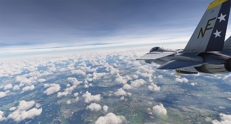
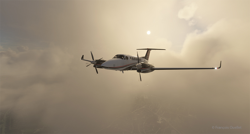
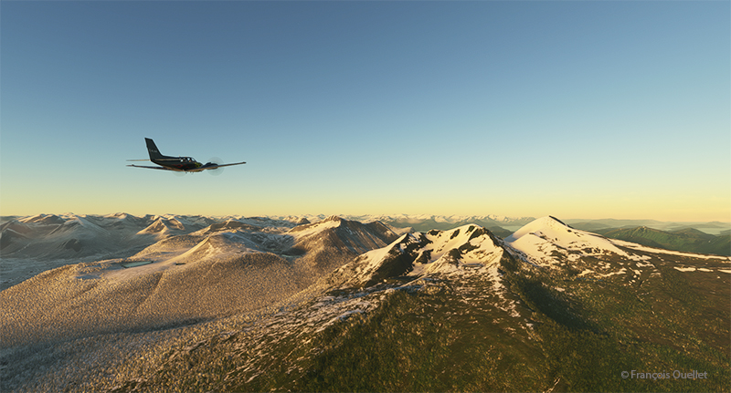
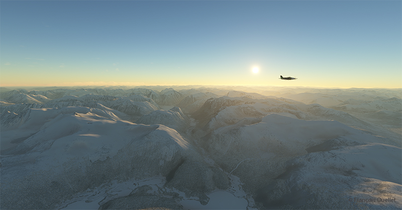
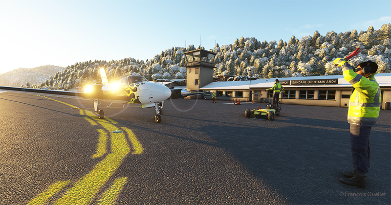
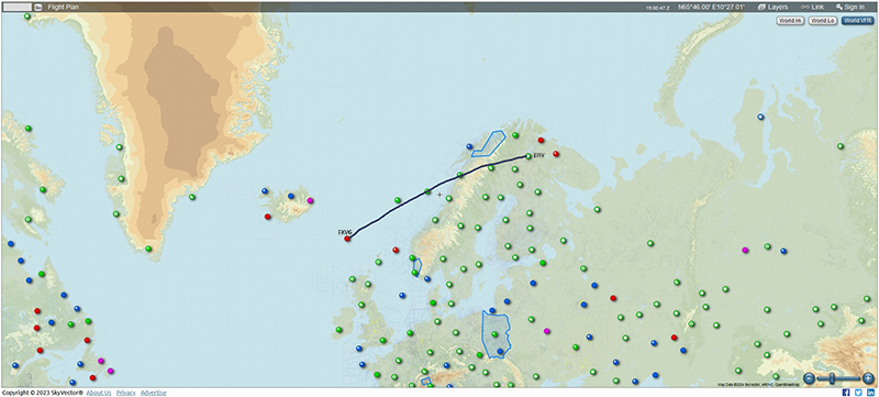
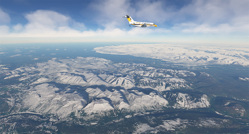
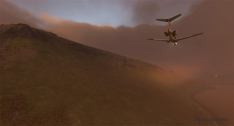
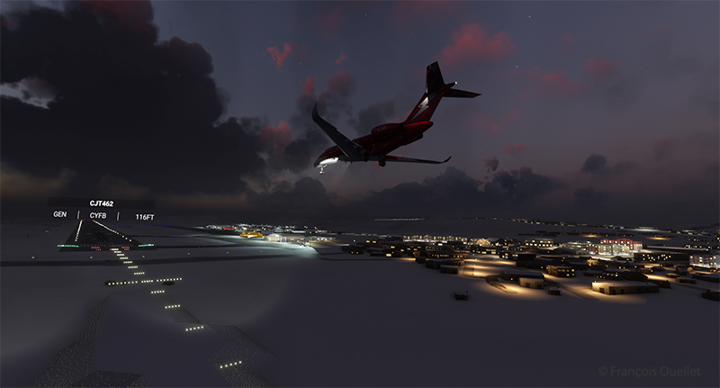
Leg 10 of this round-the-world flight simulation trip takes place between Poland and Germany. Two very different aircraft will be used to complete the journey during this day of VFR flying: an old Junkers Ju 52/3m and a modern business helicopter, the Airbus H160.
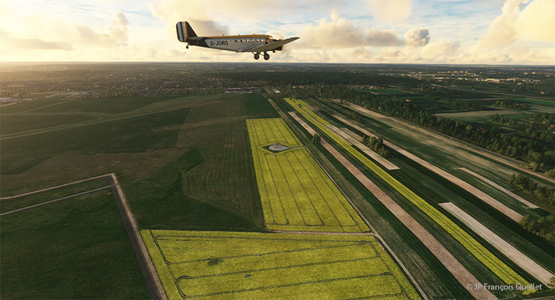
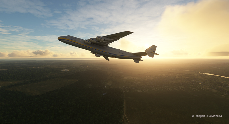
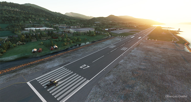
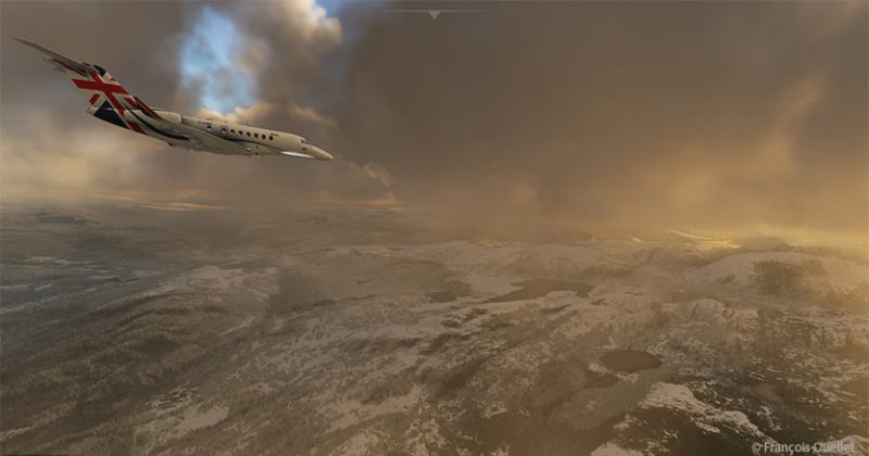
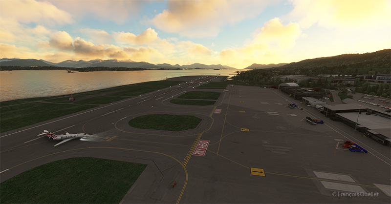
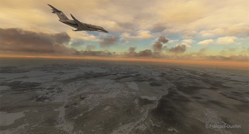
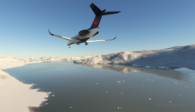
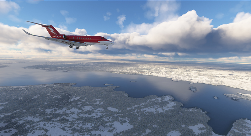
Departure is from Lublin airport (EPLB) in Poland. The Junkers Ju 52/3m takes off without a hitch over a short distance. The big three-engine tailwheel is as predictable as the Cessna C-170B I used in real life to cross Canada in 1981. Above, one can see the cultivated fields of Poland.
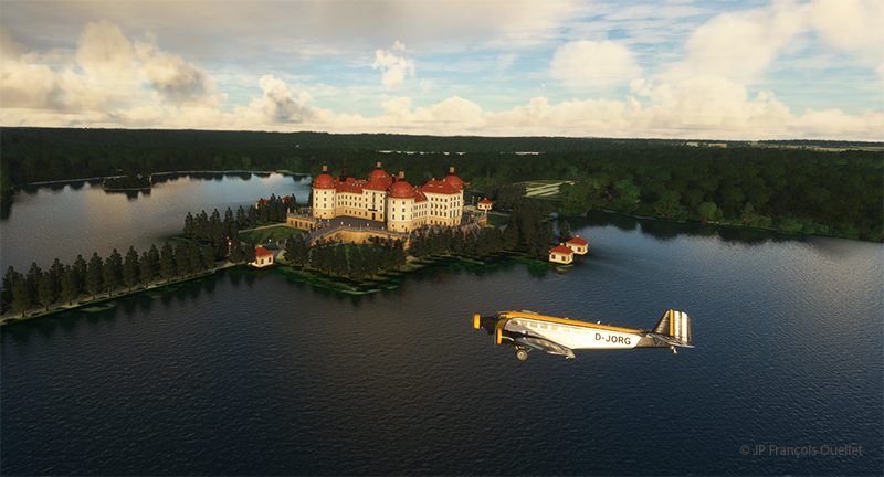
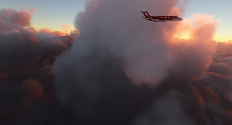
It’s shaping up to be a beautiful morning, weather-wise. The first leg of the trip takes us over Moritzburg Castle (Schloss Moritzburg), northwest of Dresden. Built in 1542, it was originally the hunting lodge of the Duke of Saxony.
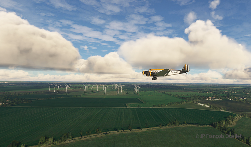
On the way to Halle is a large wind farm. Germany, like Europe, is rapidly developing its green energy. Russia’s recent attitude to Europe’s natural gas supply has drastically changed energy planning in neighboring countries.
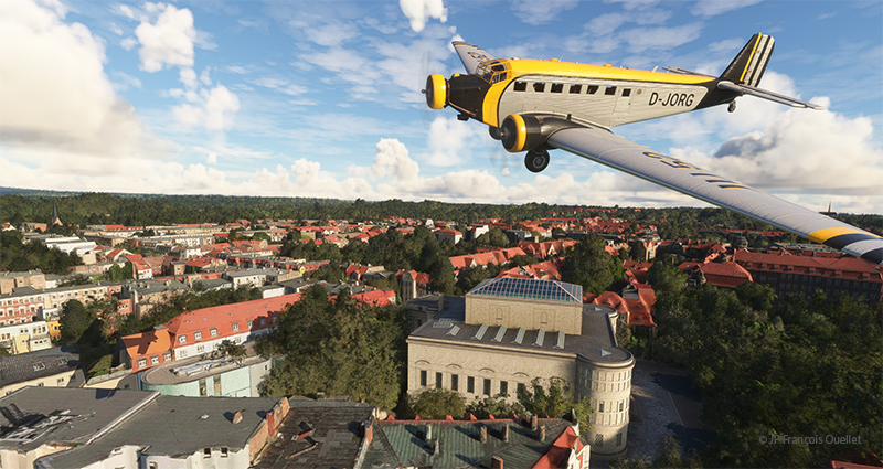
Above, in the center of the photo, is a partial view of the National Museum of Prehistory in Halle (Landesmuseum für Vorgeschichte Halle), not far from Leipzig. It is one of Central Europe’s leading archaeological museums.
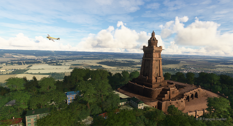
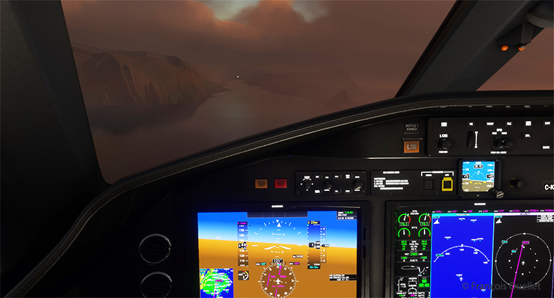
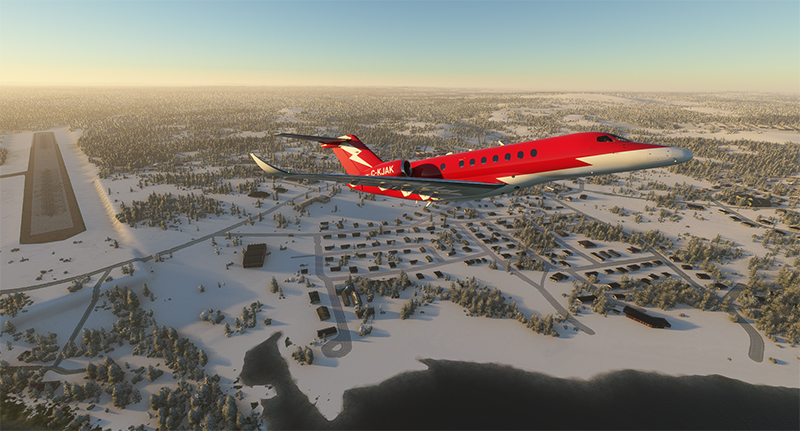
Before reaching Calden airport to change aircraft, we gaze at the Kyffhaüser monument (Kyffhaüser Denkmal). Once in Calden, we jump into a modern Airbus-built H160 helicopter and head for Göttingen, more precisely over the Münchhausenstrasse.
We’ve obtained permission to fly over this thoroughfare at very low altitude, just long enough to say hello to an old acquaintance. This dubious authorization will probably cost Germany’s Minister of Transport his job.

A flyover of this Göttingen street is necessary to verify the extent of the traffic.
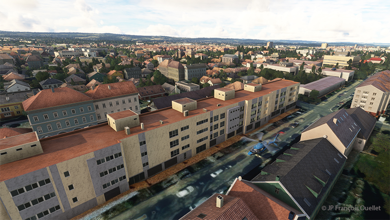
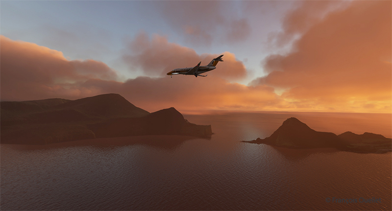
The descent is gradual between the buildings. We hover just above the cars. Pedestrians seem to wave at us, but we may misinterpret the gesture. Our friend is at the window and takes the time to stop his reading of an excellent comic strip to wave at us. We then continue on our way to Padderborn Lippstadt Airport (EDLP), our destination for today.
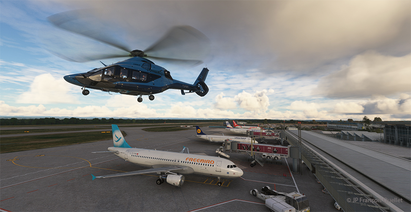
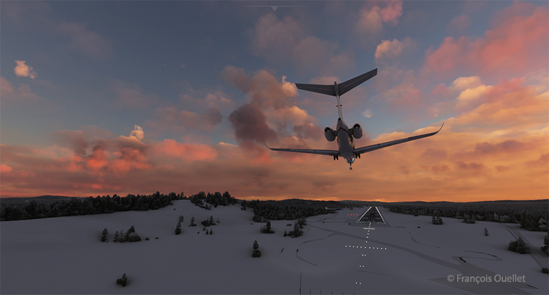
Still, there’s a fair amount of activity at the airport. Immediately after landing, we’ll start planning leg 11 of this round-the-world flight simulation and real weather trip.
Click on the link for more flight simulator flights around the world on my blog.