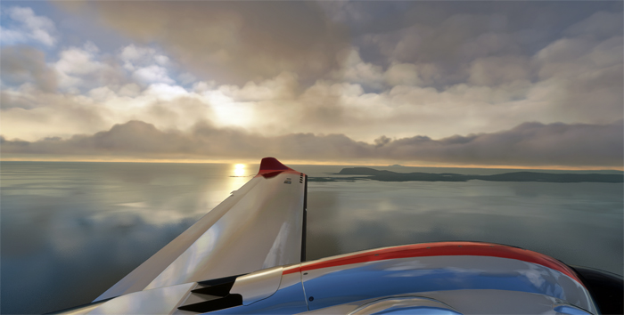
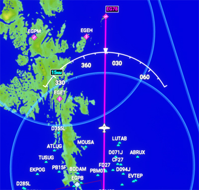
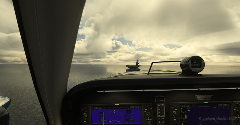
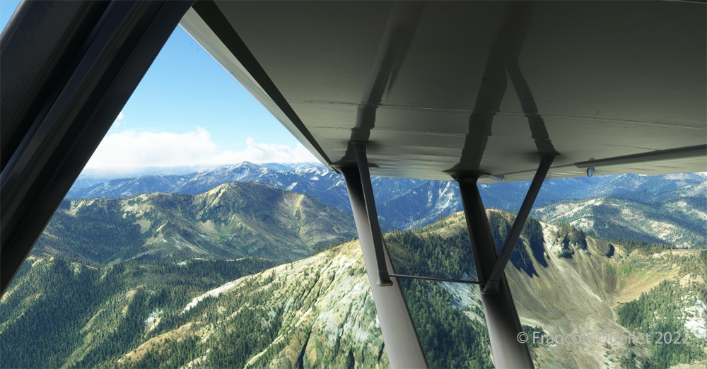
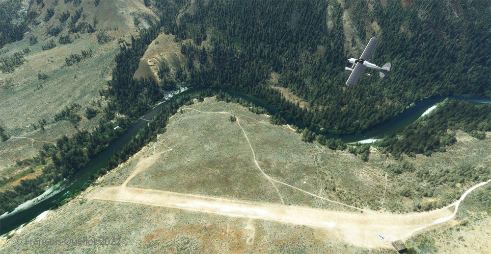
The exploration of the planet in flight simulation continues. Today we’re flying from Bruray / Out Skerries (EG78 or OUK for the IATA code) to the Barra beach airfield (EGPR). It’s a demanding virtual flight, especially when it comes to taking off from Out Skerries. The winds are strong and quite sideways to the small runway. You can see this by observing the windsock from the cockpit.

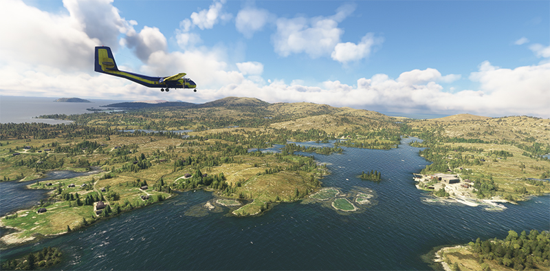
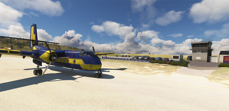
The crew opted to use a good old DHC-4 Caribou, which has proved its worth in difficult landings and take-offs. The virtual clouds reflect the current situation in the Shetland Islands.
With both feet on the brakes, the flaps adjusted and the steering wheel turned to the right to limit the effect of the wind on the right wing, the crew push the throttle to maximum while releasing the brakes. The aircraft moves a little to the left as it rolls, but by using rudder, it stays on the runway long enough to take off.

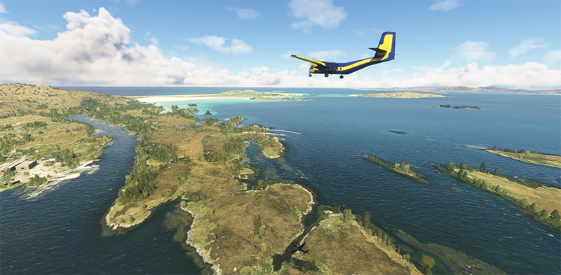
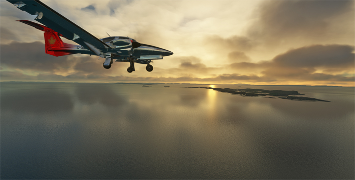
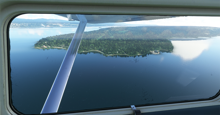
The flight is made in VFR mode under cloud. Eventually, the sky clears and we can enjoy the scenery as we approach Barra beach. The low tide makes for a smooth landing.
The photo below shows the Caribou in right base for Barra beach. What a great day for visual flying!
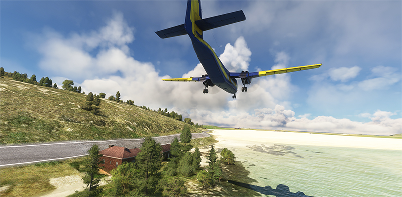
The DHC-4 is now on short final for the sand runway. Even though it’s a large twin-engine aircraft, its short take-off and landing capabilities mean that it will only need a very small portion of the available range.
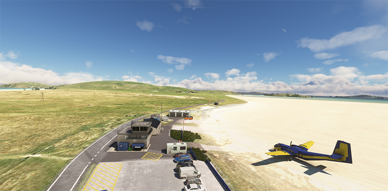
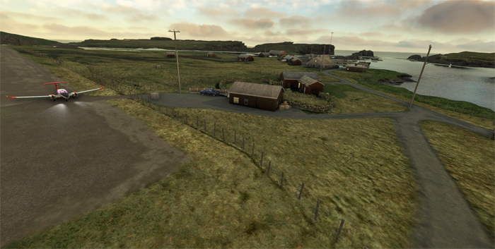
A few passengers seem to have already arrived, unless they’re curious onlookers who heard the aircraft approaching. This is certainly a very rare visit by a DHC-4 to Barra!
Airport management refuses to reveal the aircraft’s destination. In any case, this won’t be the first time a Caribou has made special flights on demanding runways.
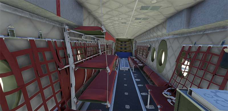
A final photo shows the interior of the Caribou. Impressive luxury, with berths available for first-class passengers. There’s no stopping progress!
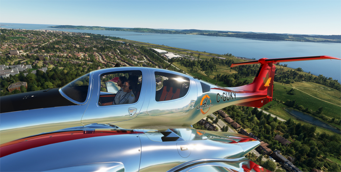
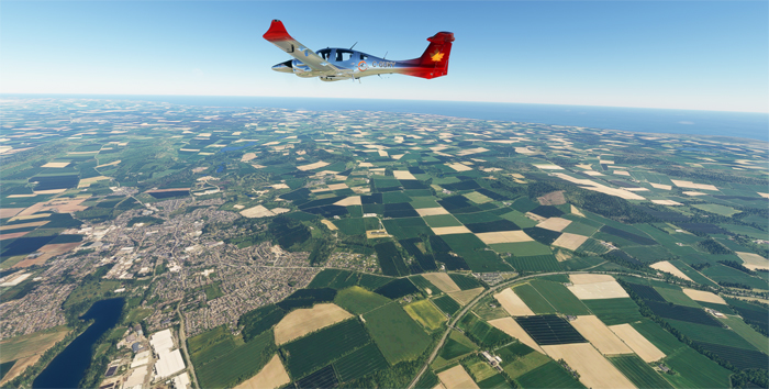
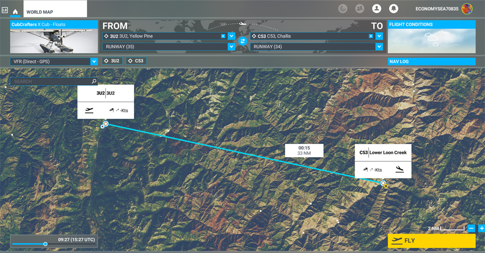
Stage 17 of this round-the-world flight simulation will take place between Barra and Donegal (EIDL) in Northern Ireland. The virtual Britten Norman BN2A Trislander MK III will make the journey using the Microsoft Flight Simulator 2020 (MSFS) flight simulator.
Click on the link for more virtual flights around the world in my blog.