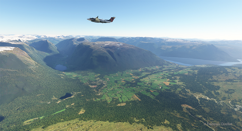
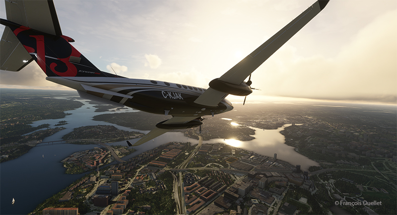
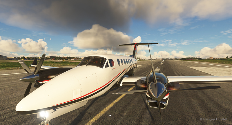
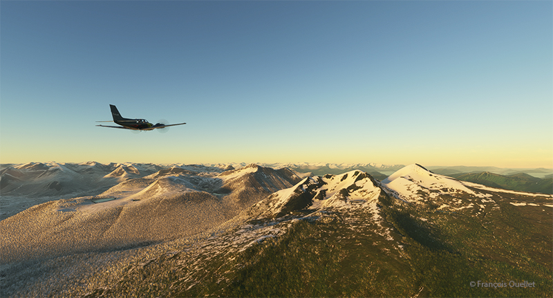
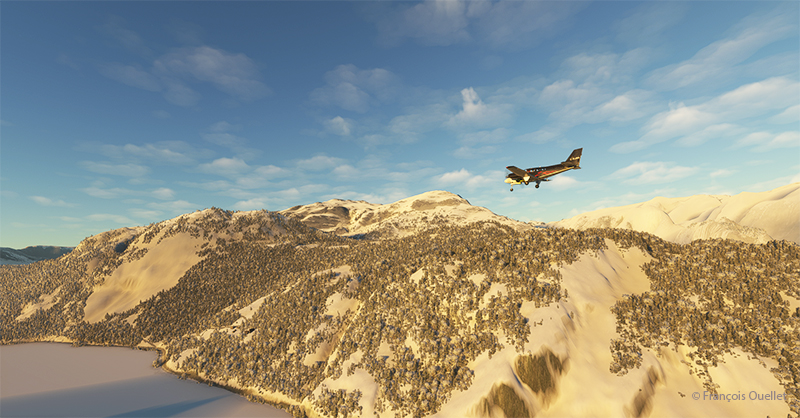
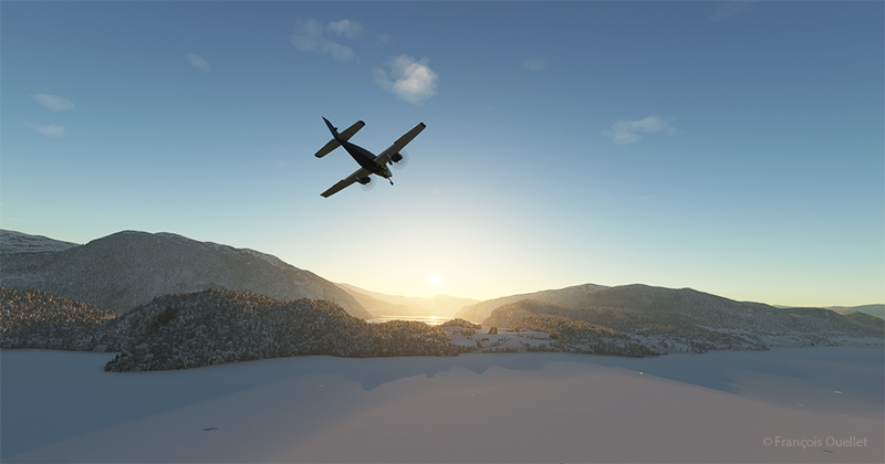
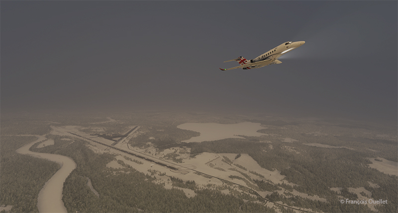
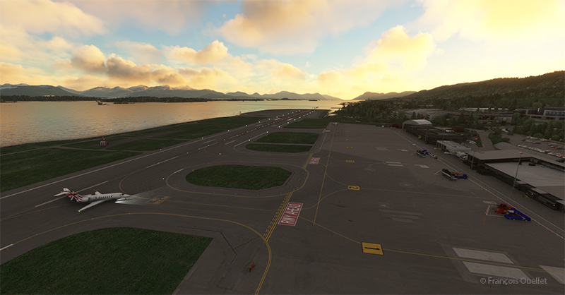
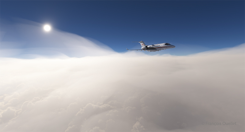
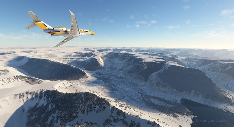
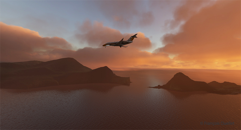
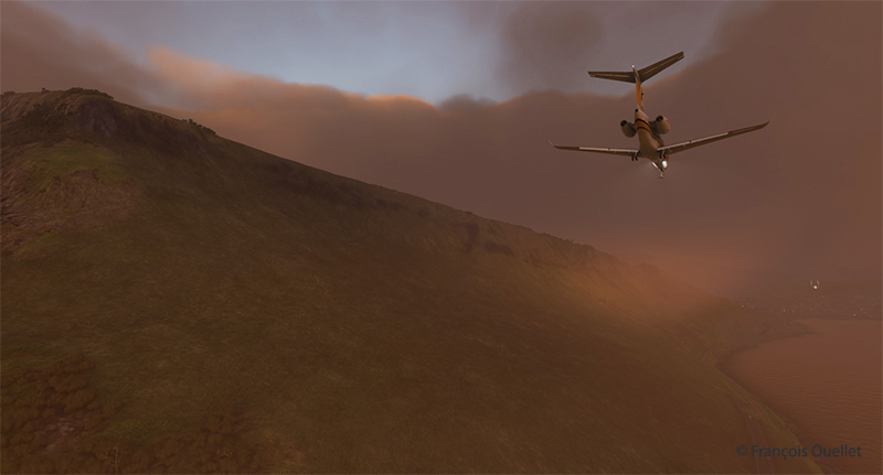
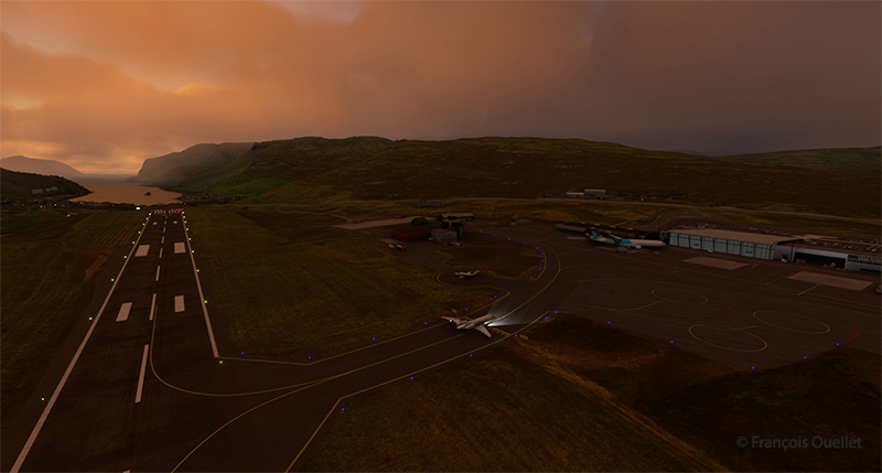
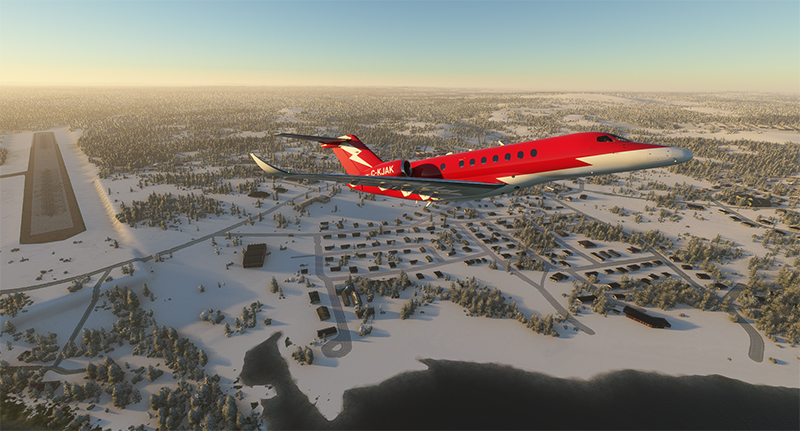
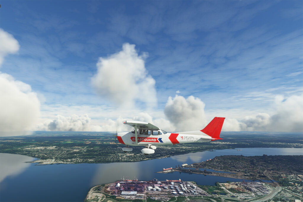
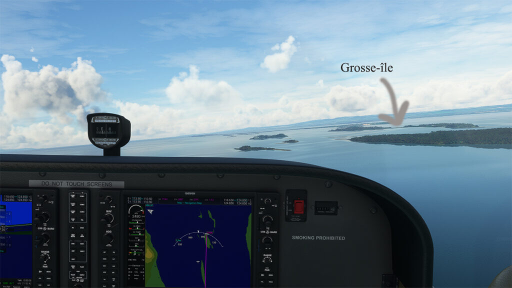
After a “visit” of Dublin’s bars and museums, we begin leg 20 of the round-the-world flight simulation tour. The crew uses a piston-powered Beechcraft B60 Duke for the flight from Dublin Airport (EIDW) to London City Airport (EGLC).
The virtual aircraft is a creation of Black Square Simulations, and is a great success with virtual pilots.

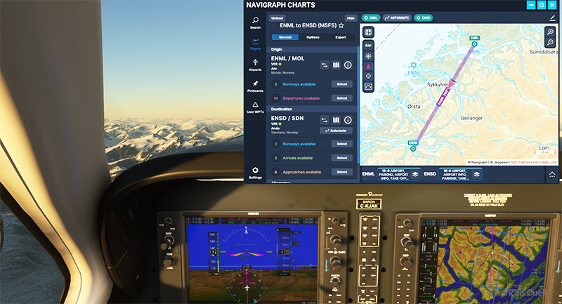
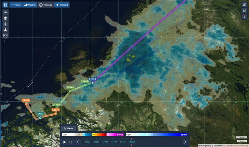
Estimated enroute time is around 01:25 and distance to cover about 305 nm. There are favourable winds from 312/21 for the trip.

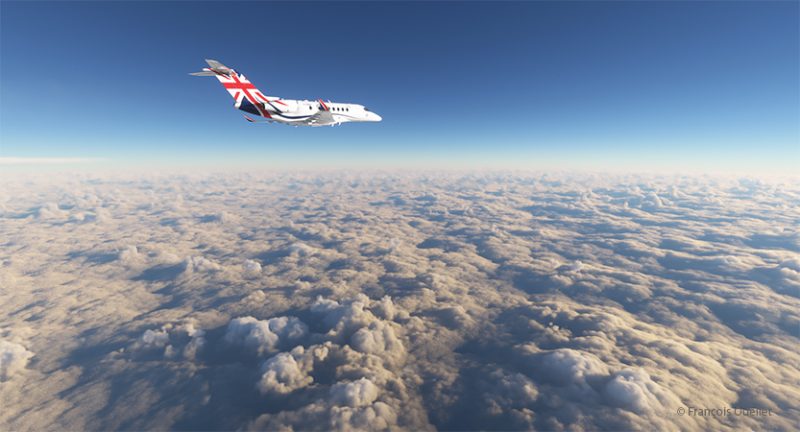
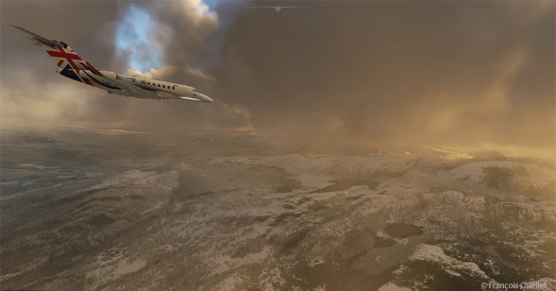
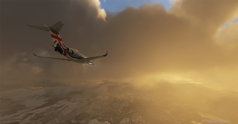
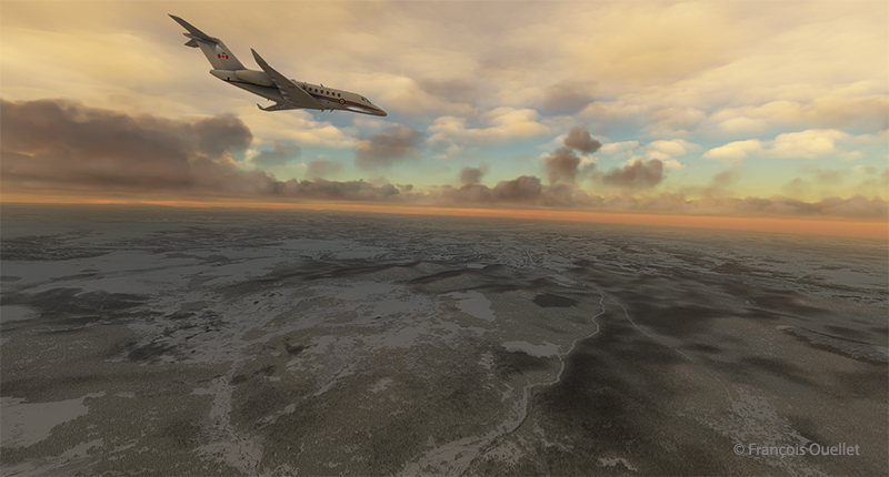
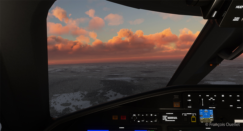
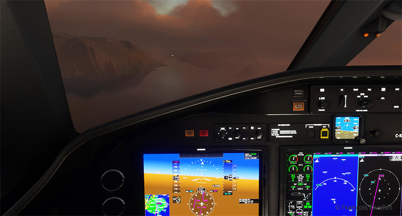
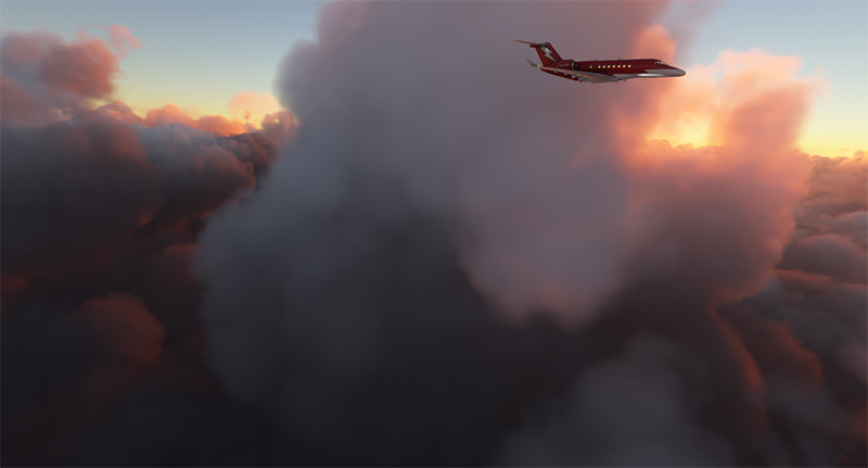
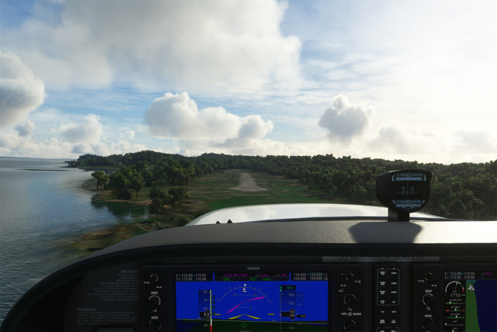
Over England, the sky becomes overcast. London reports a broken ceiling at 1700 feet and full-cloud deck at 2200 feet. However, visibility remains excellent.
The Beech Duke’s autopilot presents some difficulties with altitude changes. Unlike most aircrafts, the procedure for generating a descent and reaching another flight level requires a little more knowledge. You can’t apply an intuitive method, as the aircraft will always seek to return to its initial altitude.

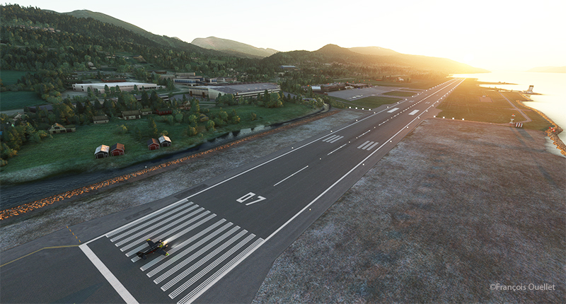
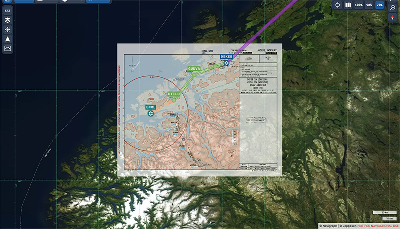
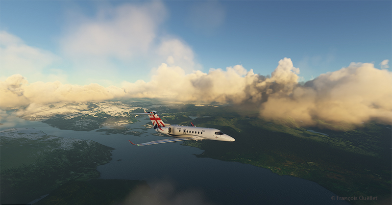
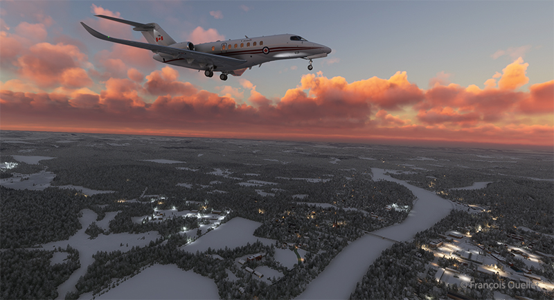
The Duke makes a right turn at the end of the trip on the L15 ODUKU TOPDU trajectory. This will place the Beech Duke on very long final for Runway 27 at London City Airport (EGLC).

Below is a view of the trajectory flown by the virtual pilot. Near the TOPDU point, the Beechcraft is still veering to establish itself on final approach.

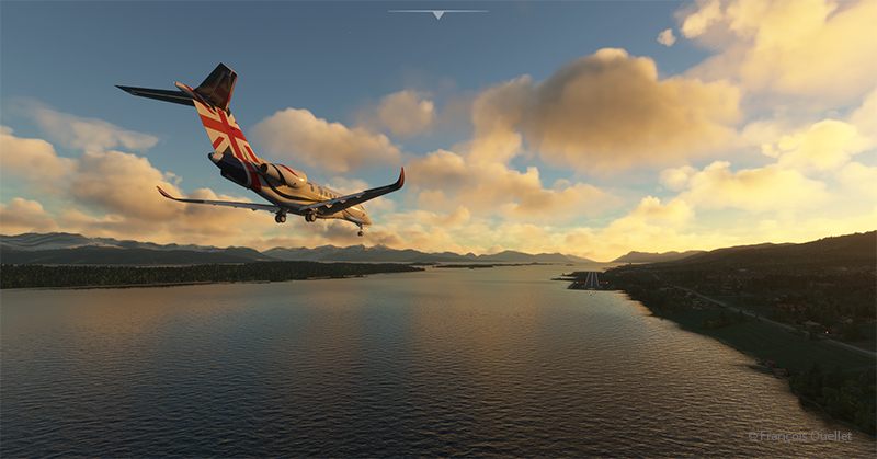
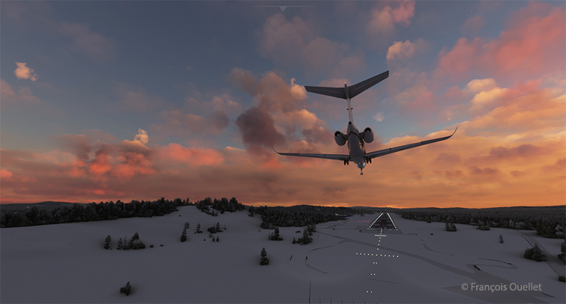
Excellent visibility and a well-defined ceiling make for an easy approach to runway 27. Slight crosswinds do not represent a problem.

Around London, you can observe the Millennium Dome, all in white. This was the subject of a three-part series on Netflix entitled “The Diamond Heist”. It deals with an attempted theft in 2000 of the Millennium Star diamond and other precious stones worth a total of $350 million. The documentary is well worth seeing.
La dernière photo ci-dessous présente une vue de Londres obtenue au moyen d’un drone virtuel avec le simulateur de vol Microsoft Flight Simulator (MSFS 2020).

Click on the link for previous flights around the planet in flight simulation on my blog.