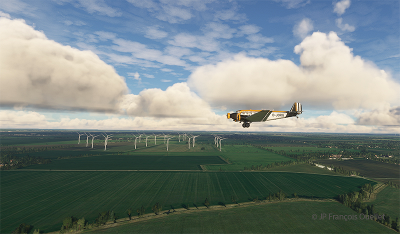
After Holland, France is stage 22 of the flight simulation tour of the world. The first airport of interest will be Paris-Le Bourget (LFPB), more specifically the Musée de l’Air et de l’Espace du Bourget. Since this is a historical visit, we choose the aircraft accordingly.
So, departing from Rotterdam, passengers board an MD-11 in KLM colors. The last flight of KLM’s MD-11 passenger aircraft in the real world took place in 2014, departing from Montreal to Amsterdam.
Today, several MD-11s are still flying, but only in cargo versions. Airlines are progressively replacing them by more modern aircrafts.
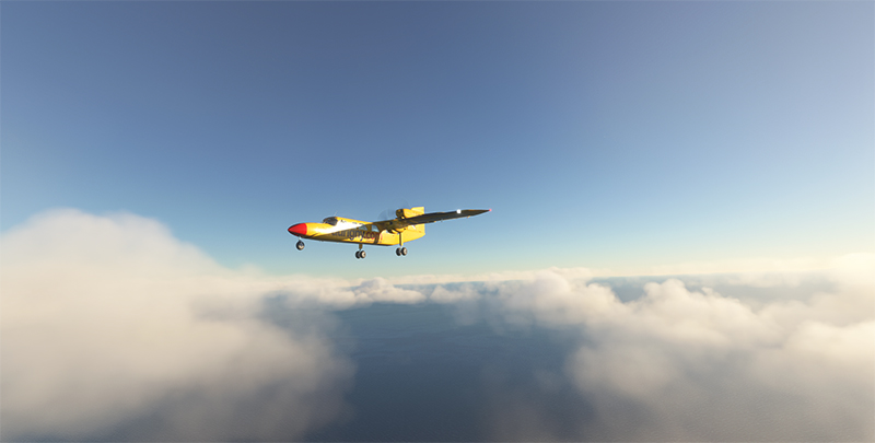
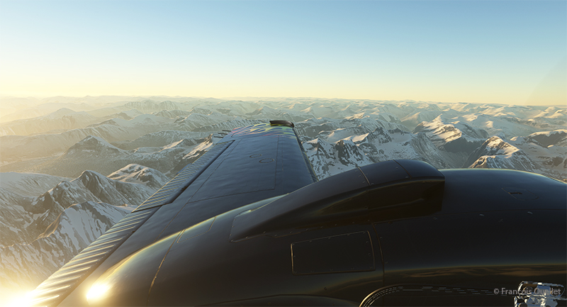
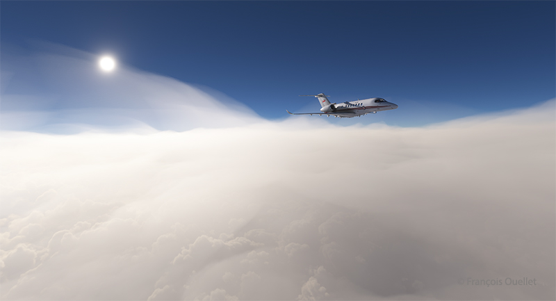
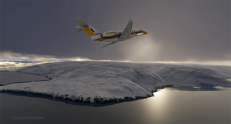
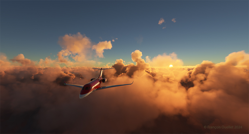
TFDI produced this high-quality virtual aircraft. An updated version has further improved the aircraft. It can be seen below flying at 13,000 feet.

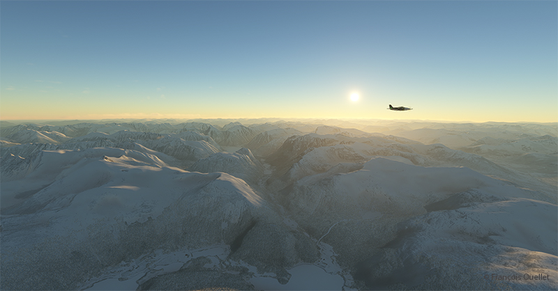
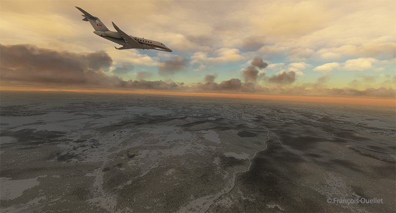
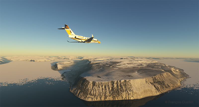
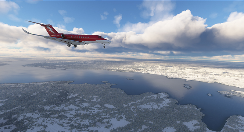
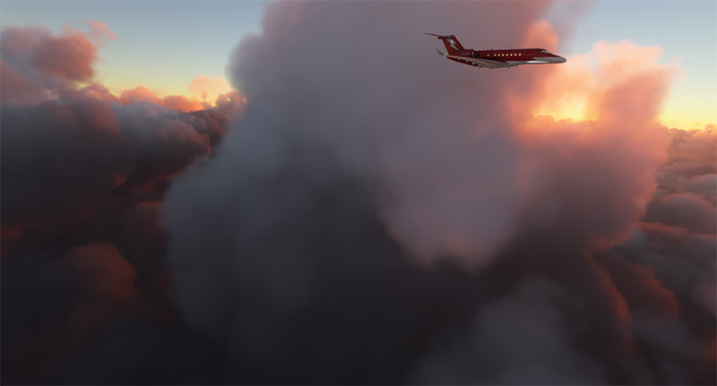
Below, the MD-11 reaches flight level FL210. The virtual weather based on METAR reports from Rotterdam and Paris indicates no serious problems for the approach and landing.

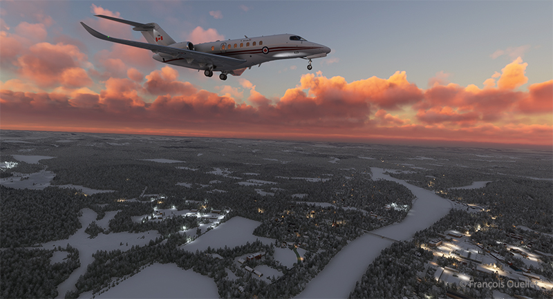
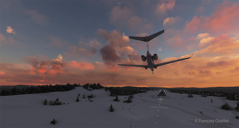
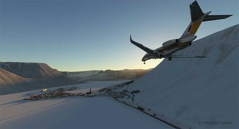
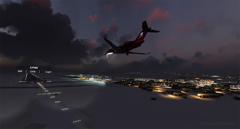
For this flight, the MD-11 is carrying only about 100 passengers. The runway at Le Bourget offers plenty of room for maneuvering when landing such an aircraft. Thirty-five degrees of flaps will therefore be sufficient for the final approach to runway 25.
The approach axis is unusual in that it is offset by 26 degrees from the center of the runway. As Jean-Pierre Otelli so aptly puts it in his book, ” Piloter en sécurité ” : “If the localizer were in line with the runway, the final approaches at Le Bourget would pass 1,000 feet above Terminal 1 at Roissy” […]. Aircraft landing on 25 must make a final 26-degree turn after following the localizer.”
Le Bourget is not the only airport where a serious turn is necessary on final approach. We obviously remember the Hong Kong Checker Board Approach for runway 13 at the former Kai Tak Airport in Hong Kong. At that airport, the final turn was not 26 degrees, but 47 degrees.
Finally, we can also mention Ronald Reagan Airport, where the approach for runway 19 requires a final turn of 36 degrees to avoid the area surrounding the White House.

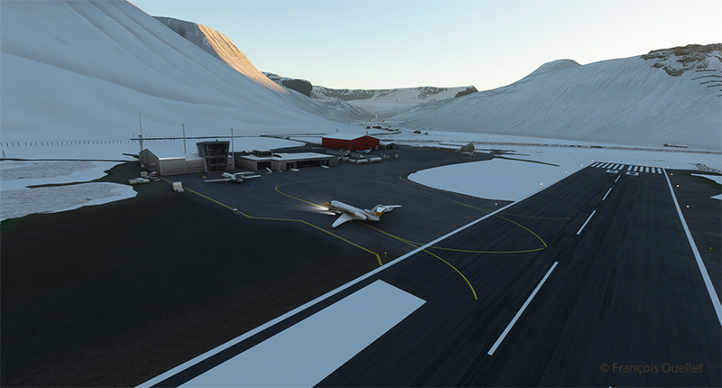
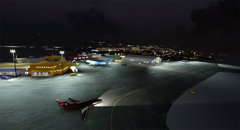
The MD-11 taxis down the runway after a smooth landing. After switching off the autopilot for the final approach, an alarm sounds in the cockpit. Even after the plane has touched down, no matter what I do to silence the alarm, nothing works. I still have several hours of study ahead of me to master this aircraft.

The MD-11 taxis to a makeshift parking area near the museum after crossing the disused runway.

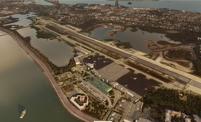
Le Musée de l’Air et de l’Espace du Bourget (The Air and Space Museum in Le Bourget).

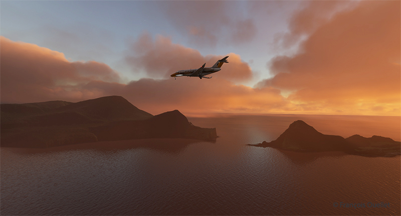
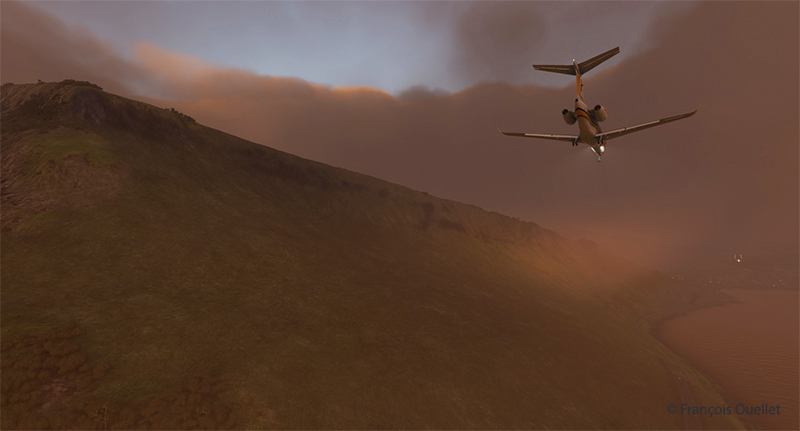
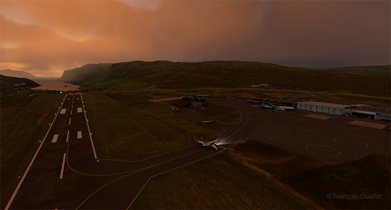
The next stage of our flight around the world with Microsoft Flight Simulator will also take place in France. The current weather conditions will once again dictate the choice of aircraft and destination.
Click on the link for photos and previous flights around the world in flight simulation on my blog.