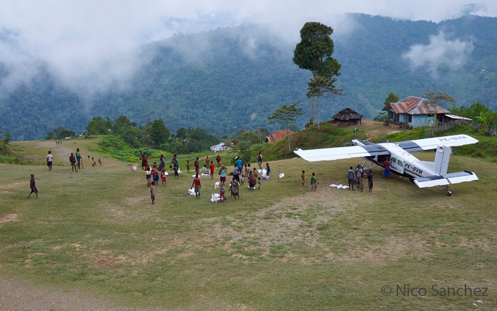
Bugalaga airstrip in Indonesia photographed by Nico Sanchez
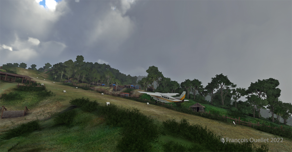
Takeoffs and landings on the Bugalaga runway (WX53) in Indonesia can be classified as being in the challenging virtual flight category. The runway is not extraordinarily demanding, due to its comfortable size of 1478 feet by 75 feet. But the approach still requires more skill than a standard approach, especially with the trees on final and the steep slope.
Today’s flight with the MSFS 2020 flight simulator consists of taking off and landing on this sloping runway. To add to the fun, the flight must be done during adverse weather conditions. Indeed, the thunderstorms programmed in the virtual weather system complicate the task of the virtual pilot, as he has to deal with gusty winds and mechanical turbulence. And to add to the fun, the Pilatus normally used is replaced by a Cessna Grand Caravan 208B. The photo above represents the Bugalaga runway in reality.
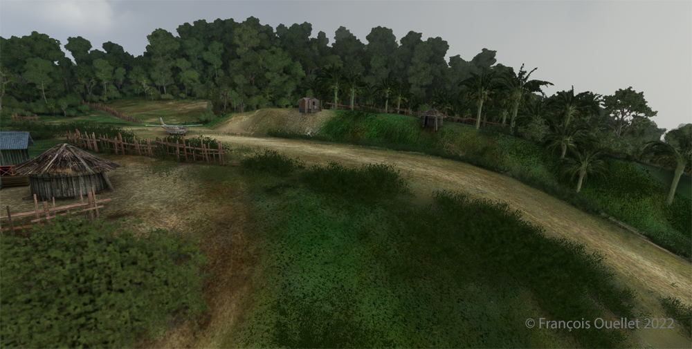
View of the Bugalaga (WX53) sloped airstrip using MSFS 2020 flight simulator.
Above is the virtual graphic interpretation of this runway located at 6233 feet above sea level (MSL) with the Cessna ready to take off. Asobo (Microsoft) did a good job.
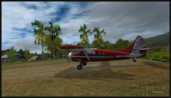
Cessna Grand Caravan 208B ready for departure at Bugalaga airstrip with MSFS 2020
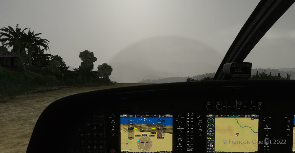
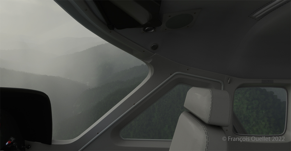
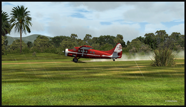
The visibility could be better, but it does not prevent the aircraft from taking off on runway 06.
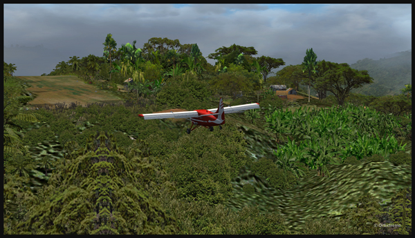
Cessna Grand Caravan 208B airborne from the Bugalaga sloped airstrip (WX53) using MSFS 2020 flight simulator
As you can see, the margin of error is pretty small for this aircraft that is less efficient than the Pilatus normally used in reality.
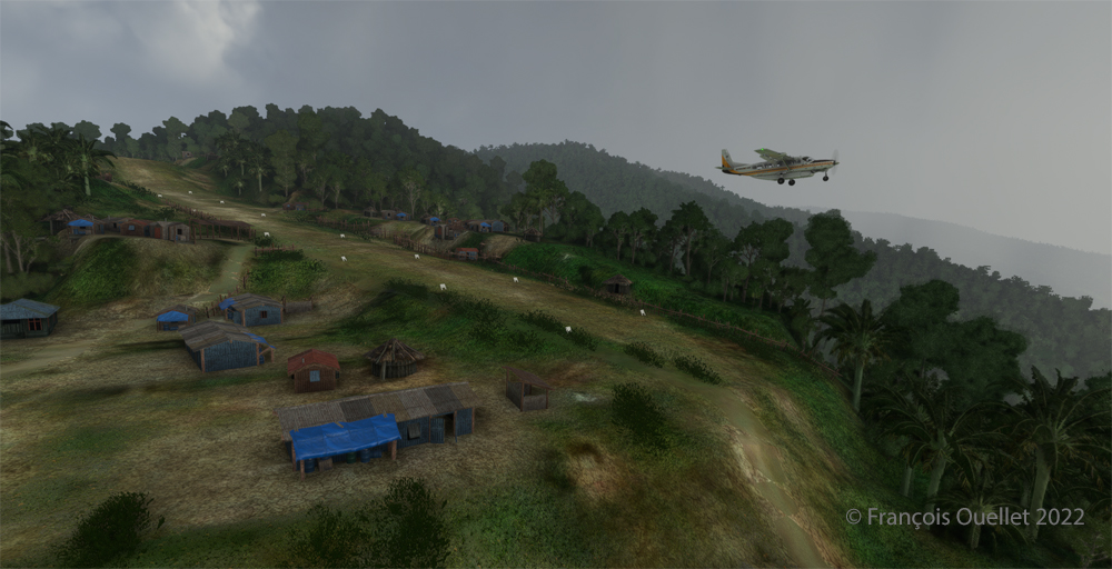
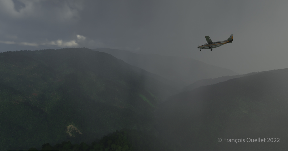
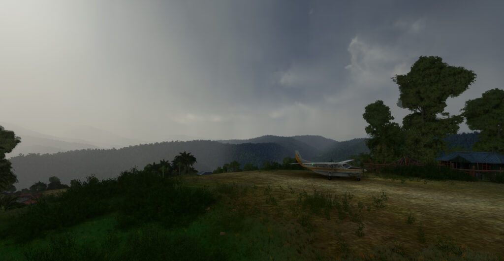
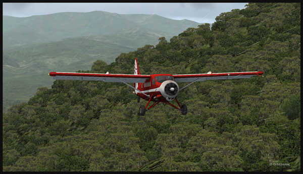
Mountains around the Bugalaga airstrip during a thunderstorm using MSFS 2020.
Immediately after takeoff, preparation begins for the outbound procedure and the 180 degrees turn that will put the aircraft on final for runway 24. The surrounding mountains require the pilot’s full attention.
Cessna Grand Caravan 208B approaching the Bugalaga airstrip in flight simulation.
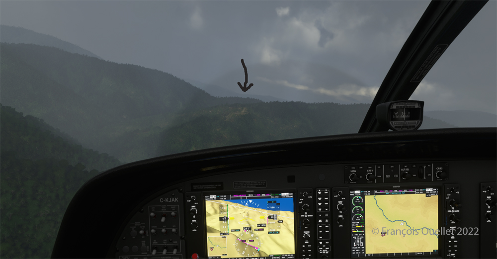
Acceptable visibility but strong winds characterize the approach to Bugalaga.
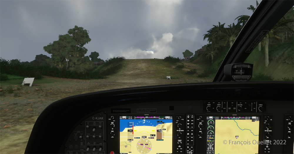
The Bugalaga virtual sloped airstrip is visible in the distance in the mountains.
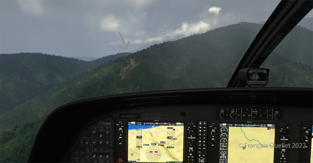
Runway 24 is now visible in the mountains.
On final at 82 kts for the Bugalaga sloped airstrip (WX53) using MSFS 2020
The approach speed with flaps out is about 82 knots.
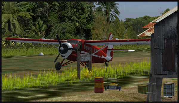
Touching down on rwy 24 on the Bugalaga sloped airstrip using MSFS 2020
The Cessna Grand Caravan C208B is about to touch down. You can see the steepness of the runway, which gets even steeper towards the end.
Cessna Grand Caravan 208B keeping enough speed to climb the sloped airstrip at Bugalaga in Indonesia (MSFS 2020)
Once the aircraft has touched down, the virtual pilot must maintain enough speed to climb the hill at the end of the strip.
Cessna Grand Caravan 208B after landing in Bugalaga in flight simulation.
A last screen capture shows the aircraft having crossed the last hillock at the end of runway 24. The flight is short, but requires your full attention. Good luck to those who will try the experience!
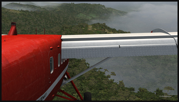
An Air Saguenay DHC-3 Otter has made it from Québec to Kokoda, in Papua New Guinea. It is expected to work around the remote mountain airfields for a while.
The Air Saguenay Otter is taxiing for the Kokoda runway towards Launumu in Papua New Guinea.
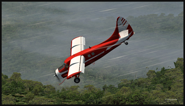
Today, the Otter heads for Launumu, a mountain airfield that is at an elevation of 5082 ft asl and 1200 feet long.
The Air Saguenay Otter departing Kokoda.
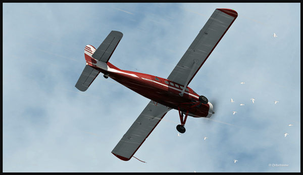
The pilot has to watch for the birds in order to avoid any collision in flight…
Otter aircraft and birds.
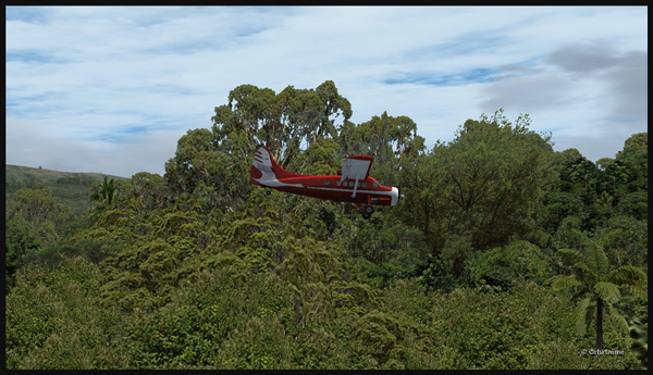
Following the Kokoda trail is a good way to reach Launumu.
The Otter in the Papua New Guinea mountains, following the Kokoda Trail.
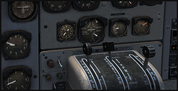
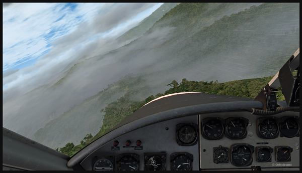
If the mixture is not adjusted, the Otter will lose a lot of steam trying to climb up to 7,500 feet to cross the first line of mountains.
Inside the Otter cockpit, with the mixture adjusted.
Anybody landing and departing from Launumu deals with high density altitude. This is not only due to the elevation of the airfield but also to the very warm and moist air present in the region. Consequently, some additional airspeed is required on the approach and on the departure.
The Launumu runway is in sight.
When a pilot lands southwestward in Launumu coming from Kokoda, he must dive in a valley to lose altitude, which will increase the aircraft’s airspeed. The Launumu runway is in sight.
If the airspeed is not promptly corrected, the approach to the Launumu runway will be too fast. Any airspeed above 60 knots forces the pilot to overshoot (unless you are ready to virtually die a few times while trying).
Losing altitude while respecting the flaps speed limit.
So, once the higher mountains are crossed, a good way of losing altitude without gaining airspeed is to use flaps (at the corresponding airspeed) and do a tight 360 degree coordinated turn while descending. That way, the pilot will end up in line with the runway and at the speed you want, which is around 50 knots.
Turning and descending in the valley during an approach for Launumu.
The Otter floats endlessly because of its huge wings.
The Air Saguenay Otter is on approach for the Launumu short runway in Papua New Guinea.
On final for Launumu, the pilot might end up having to deal with the bushes that are close to the runway. It is not unusual for the Otter or the Beaver to complete a difficult approach with bushes wrapped around the landing gear.
A Air Saguenay Otter is on final for the Launumu mountain runway.
A Otter aircraft is arriving on the Launumu high altitude runway.
Launumu has a surprise for the newcomers. If the pilot lands southwestward, like it was just done here, and the aircraft is not stopped within approximately 600 feet, it starts accelerating since there is a pronounced slope downward in the second half of the runway. This slope leads to a cliff. In case of a missed approach, the pilot can use the slope downwards and dive in the valley at the end of the runway to build up airspeed and start a new approach.
Now that the hard work is done, it is time to wait for the passengers and cargo, and plan the next leg…
A Otter aircraft is backtracking the Launumu runway after landing.
A Otter aircraft is parked on the Launumu runway in Papua New Guinea.
The virtual scenery and clouds required softwares like REX, REX Texture Direct, Cumulus X, FTX Global, FTX Global Vector and Pilot’s FS Global 2010.
The flight simulator enthousiast will have fun trying this short flight ( 14 minutes) from the Eagle County virtual airport (KEGE) to the Telluride virtual airport (KTEX). The virtual flight, using FSX, was made during winter, on January 8th. The shots below represent an idea of what is visible while flying toTelluride. Use 14,000 feet, it should do it…
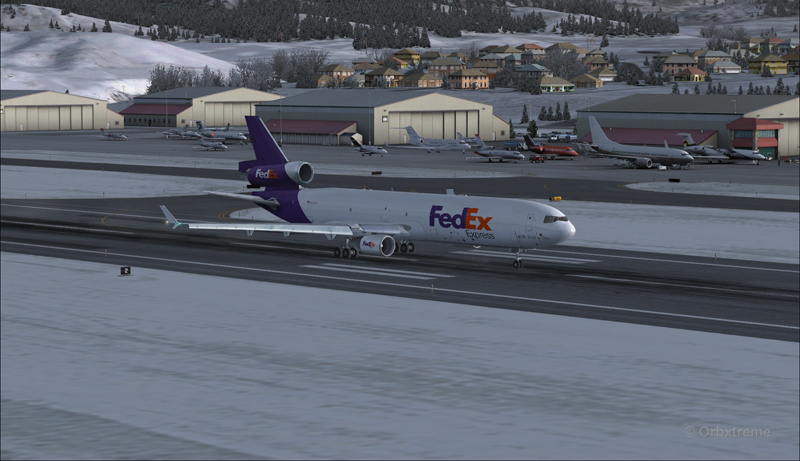
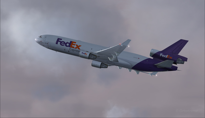
FedEx MD-11 on the take-off run at the Eagle County airport (KEGE) (FSX)
FedEx MD-11 airborne from the Eagle County airport (KEGE) (FSX)
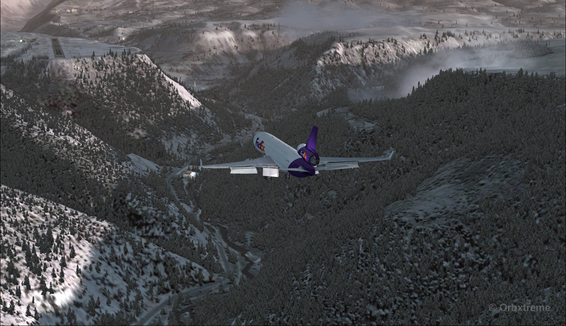
FedEx MD-11 between Eagle County airport (KEGE) and Telluride airport (KTEX) (FSX)
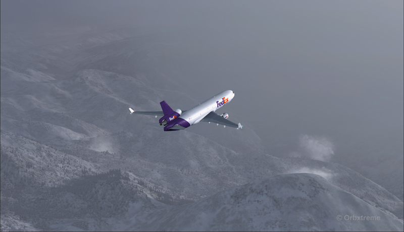
There are lots of beautiful mountains between KEGE and Telluride, and also some unpredictable weather…
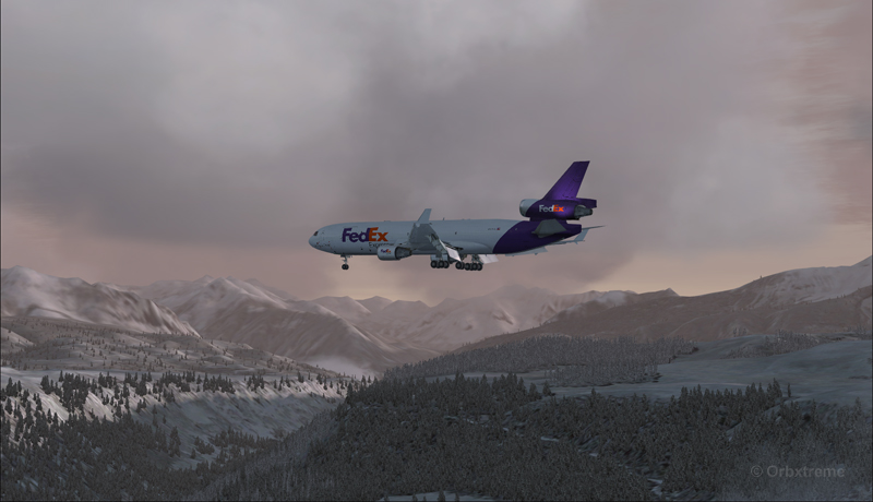
FedEX Md-11 entering bad weather
The expected ceiling at Telluride was 8500 ft. On the way to the airport, the clouds and visibility were sometimes obscuring the mountains.
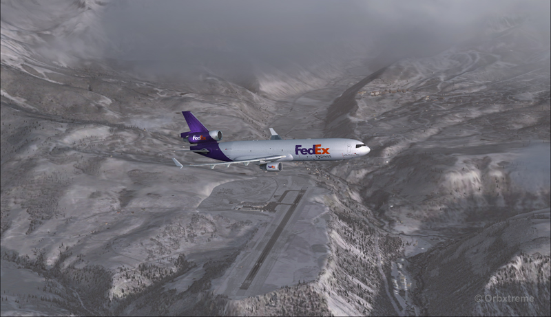
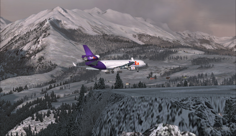
A FedEx MD-11 on a flight Eagle County (KEGE) to Telluride (KTEX) (FSX)
Telluride is a very inviting airport for a MD-11. The 7000 feet runway itself does not represent a big challenge, although its 100 feet are a bit narrow: this aircraft would normally require a 150 feet wide landing surface.
The virtual VFR approach made with the MD-11 was the most expensive way to do the trip, since it required a fly-by and a 270 degree turn to the right to align with runway 09.
FedEx MD-11 flies by the Telluride airport KTEX) (FSX)
The 270 degree turn at a 10-20 degree bank allowed to transit from 14,000 to 10,000 ft without doing anything radical. Just a turn while descending and gradually loosing speed to arrive at around 160 kts on final. The aircraft was now installed on long final, with flaps set at 50 degrees.
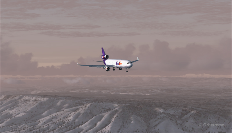
A FedEx MD-11 on long final runway 09 for the Telluride airport (KTEX) (FSX)
The high altitude runway’s 9078 feet msl elevation meant the pilots dealt with lower air density and heavy weight when approaching and, as such, the airspeed had to be adjusted accordingly to prevent stalling on final.
A FedEx MD-11 on final runway 09 for the Telluride airport (KTEX) (FSX)
Here is a view from the Telluride tower…
View from the Telluride airport (KTEX) (FSX) of a FedEx MD-11 on final for runway 09
Now with a view like that, you would not consider coming in IFR…!
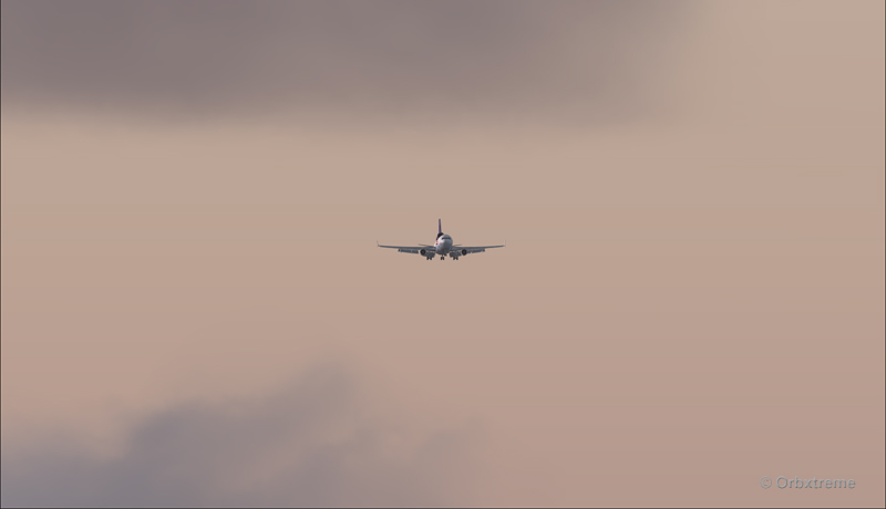
A FedEx MD-11 inbound from KEGE on final for runway 09 at the Telluride airport (KTEX) (FSX)
To prevent an overshoot and some additional expenses in fuel (which are already skyrocketing), an optimal approach was required.
Most accidents with the MD-11 happen when the pilot pushes on the stick when there is a rebound with the nose wheel, thus creating an even stronger rebound. When there is a rebound, there is no need to push on the stick, just wait and the aircraft sets itself quickly.
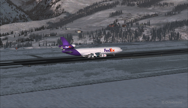
A FedEx MD-11 over the threshold runway 09 at the Telluride airport (KTEX) (FSX)
Now with max breaking and thrust reversers…
A FedEX MD-11 slowing down at the Telluride airport (KTEX) (FSX)
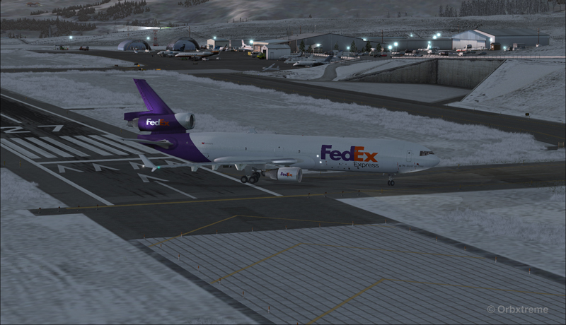
The MD-11 can easily turn at the first taxiway at Telluride. But in order to capture a wider view of the airport, I exited at the last taxiway (again adding to the already enormous expense in fuel…)
A FedEX Md-11 is exiting runway 09 at the Telluride airport (KTEX) (FSX)
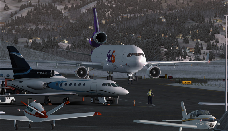
The employee on the ramp was worried that the MD-11 lower winglet would scratch N900SS while taxiing. But there was plenty of space (11 inches)…
A FedEX Md-11 is taxiing on the ramp at the Telluride airport (KTEX) (FSX)
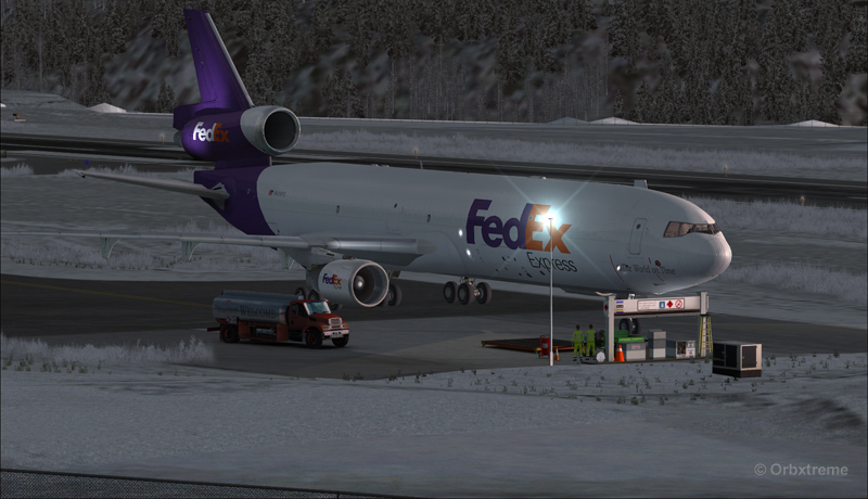
The MD-11 was parked temporarily in a spot needed by every aircraft. It was necessary to unload quickly the precious cargo and get out of the way.
Temporary parking for a FedEx MD-11 at the Telluride airport (KTEX) (FSX)
Some expert handling would be needed to help move back that MD-11 close to the runway. But that was the Telluride’s airport manager problem and he had promised he would have something ready!
FedEx Md-11 parked at the Telluride airport (KTEX) (FSX)
The virtual scenery from departure to destination is a creation of ORBX programmers and the virtual MD-11 is made by PMDG Simulations (I am not sure it works with P3D though). For the weather, I used REX Simulations as the weather engine and REX and Cumulus X for the cloud textures. (Edit: PMDG does not support it’s MD-11 anymore).
For other challenging virtual flights, head towards the flight simulation section of my web site, under “challenging virtual flights”: there is something for everyone!
For more articles on flight simulation on my web site, click on the following link : Flight simulation