Categories
Flight Simulation

The treacherous Launumu short sloped runway in Papua New Guinea.

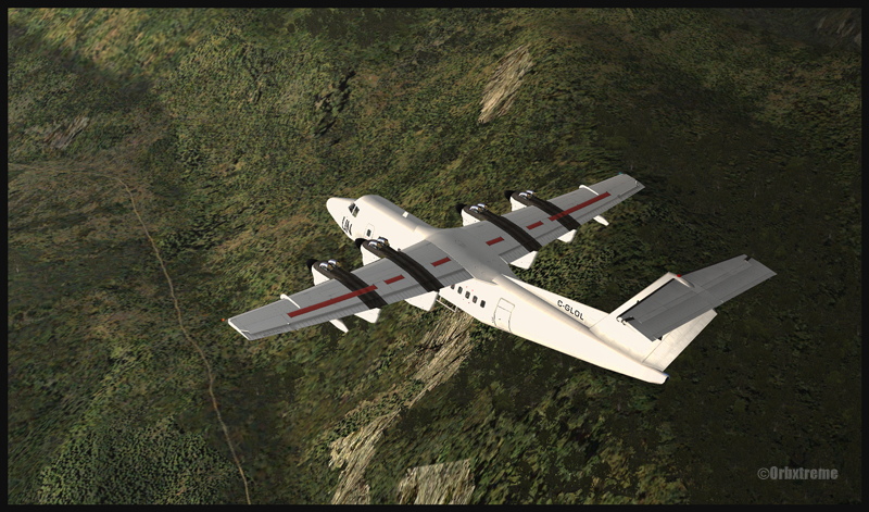
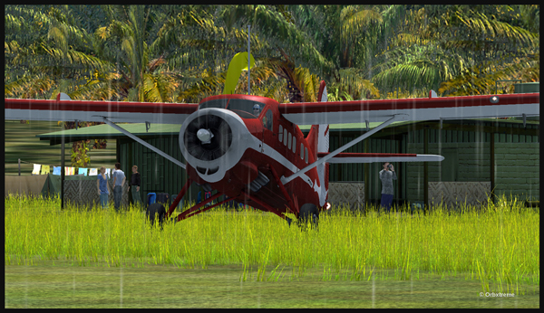
An Air Saguenay DHC-3 Otter has made it from Québec to Kokoda, in Papua New Guinea. It is expected to work around the remote mountain airfields for a while.

The Air Saguenay Otter is taxiing for the Kokoda runway towards Launumu in Papua New Guinea.

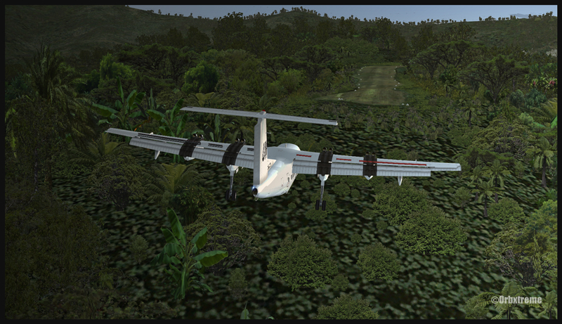
Today, the Otter heads for Launumu, a mountain airfield that is at an elevation of 5082 ft asl and 1200 feet long.

The Air Saguenay Otter departing Kokoda.

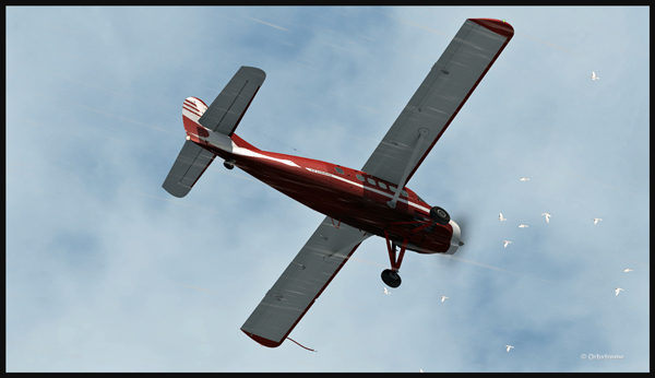
The pilot has to watch for the birds in order to avoid any collision in flight…

Otter aircraft and birds.

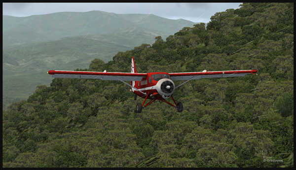
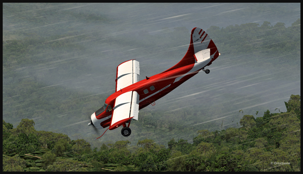
Following the Kokoda trail is a good way to reach Launumu.

The Otter in the Papua New Guinea mountains, following the Kokoda Trail.

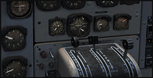
If the mixture is not adjusted, the Otter will lose a lot of steam trying to climb up to 7,500 feet to cross the first line of mountains.

Inside the Otter cockpit, with the mixture adjusted.

Anybody landing and departing from Launumu deals with high density altitude. This is not only due to the elevation of the airfield but also to the very warm and moist air present in the region. Consequently, some additional airspeed is required on the approach and on the departure.

The Launumu runway is in sight.

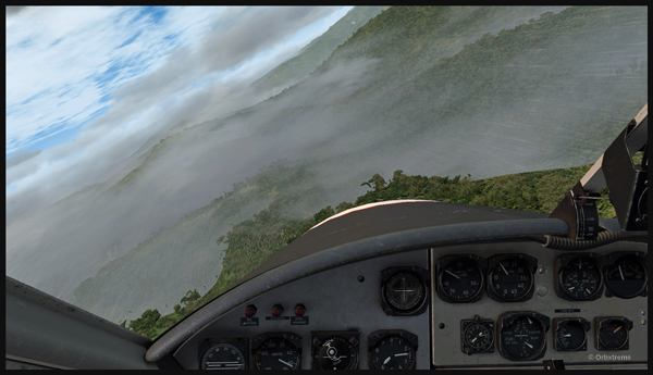
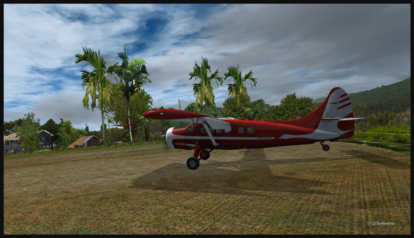
When a pilot lands southwestward in Launumu coming from Kokoda, he must dive in a valley to lose altitude, which will increase the aircraft’s airspeed. The Launumu runway is in sight.

If the airspeed is not promptly corrected, the approach to the Launumu runway will be too fast. Any airspeed above 60 knots forces the pilot to overshoot (unless you are ready to virtually die a few times while trying).

Losing altitude while respecting the flaps speed limit.

So, once the higher mountains are crossed, a good way of losing altitude without gaining airspeed is to use flaps (at the corresponding airspeed) and do a tight 360 degree coordinated turn while descending. That way, the pilot will end up in line with the runway and at the speed you want, which is around 50 knots.

Turning and descending in the valley during an approach for Launumu.

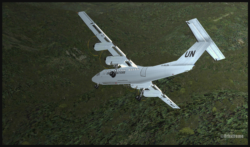
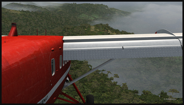
The Otter floats endlessly because of its huge wings.

The Air Saguenay Otter is on approach for the Launumu short runway in Papua New Guinea.

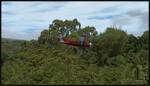
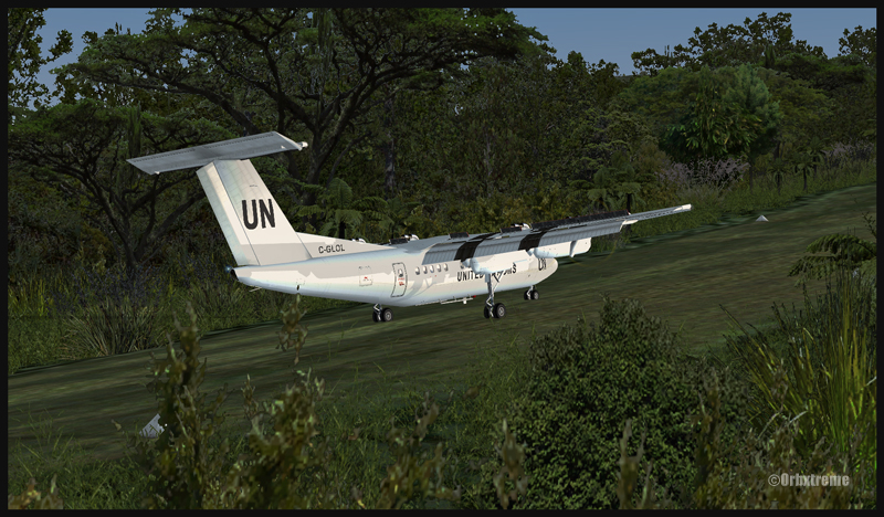
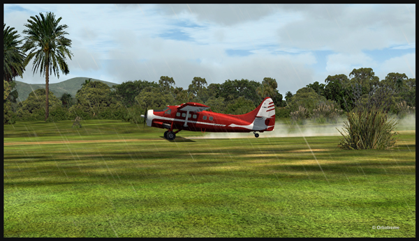
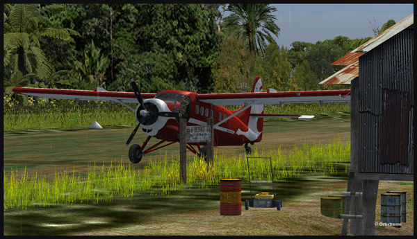
On final for Launumu, the pilot might end up having to deal with the bushes that are close to the runway. It is not unusual for the Otter or the Beaver to complete a difficult approach with bushes wrapped around the landing gear.

A Air Saguenay Otter is on final for the Launumu mountain runway.
A Otter aircraft is arriving on the Launumu high altitude runway.

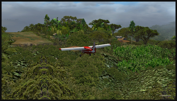
Launumu has a surprise for the newcomers. If the pilot lands southwestward, like it was just done here, and the aircraft is not stopped within approximately 600 feet, it starts accelerating since there is a pronounced slope downward in the second half of the runway. This slope leads to a cliff. In case of a missed approach, the pilot can use the slope downwards and dive in the valley at the end of the runway to build up airspeed and start a new approach.

Now that the hard work is done, it is time to wait for the passengers and cargo, and plan the next leg…

A Otter aircraft is backtracking the Launumu runway after landing.
A Otter aircraft is parked on the Launumu runway in Papua New Guinea.

The virtual scenery and clouds required softwares like REX, REX Texture Direct, Cumulus X, FTX Global, FTX Global Vector and Pilot’s FS Global 2010.

Categories
Flight Simulation

Flight simulation: Fly a Dash 7 from Kokoda to Kagi in Papua New Guinea

De Havilland Canada DHC-7 Dash 7 over the Kokoda trail in Papua New Guinea
Steep turn made by a Dash 7 (FSX) landing in Kagi, Papua New Guinea

If you are looking for a real challenge, try a flight from Kokoda airport to Kagi, using a DHC-7. Kagi is situated along the Kokoda Trail in Papua New Guinea. The runway has a 12.5 degree slope and is approximately 447m long (1466 ft). The airstrip’s altitude is about 3900 ft msl.  You will need the ORBX scenery (AYPY) Jacksons Airport made by Ken Hall and Tim Harris, as well as other Orbx products such as Global, Vector and Holgermesh to do the flight and obtain the same views as above. In order to find the airports, two maps are included in the “User documents” included with AYPY.

A Dash 7 (FSX) on final for Kagi, Papua New Guinea

I adjusted the fuel at 50% in each tank. For payload, I used 5 passengers and luggages. Obviously, the aircraft could have been loaded with many more passengers and cargo. But since it was a first trial at Kagi with a Dash 7, I thought that a lighter payload would increase my chances of a successful landing by reducing the approach speed.

A United Nations Dash 7 after landing uphill on runway 07 in Kagi, Papua New Guinea

The landing in Kagi is made on runway 07 and the takeoff on runway 25. From Kokoda airport, follow the Kokoda trail then, when appropriate, make a right turn toward Kagi. There are few airports within a small area so it can get a bit confusing. The best way is to overfly the area slowly to ensure that what you see in flight and what is on the map are both the same airport.

The two most difficult aspects of the approach are the steep turns required while flying close to the mountains in slow flight configuration, that is to say with full flaps and wheels out. The second problem to keep in mind is the sloped runway: 12.5 degrees is not negligeable.  But once you are on the runway, the Dash 7 will almost stop by himself due to that slope. The takeoff on runway 25 is not a problem with that aircraft: with such a sloped runway, you will be airborne in no time.

A United Nations Dash 7 ready for takeoff on runway 25 in Kagi, Papua New Guinea
De Havilland Dash 7 airborne from Kagi

I am convinced you will enjoy this demanding flight. There are lots of plants and trees included in the scenery, so it makes for a very realistic approach. Have fun and make sure your passengers will still have a smile on their face when they get out of the airplane!

P.S.: The flight was made using FSX

For more articles on flight simulation on my web site, click on the following links: Challenging virtual flights or Flight simulation