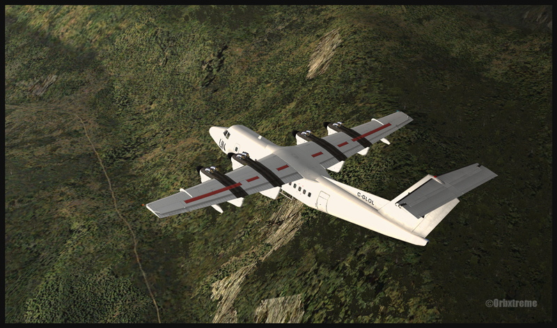
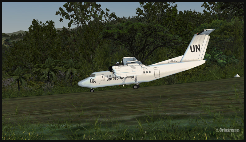
If you are looking for a real challenge, try a flight from Kokoda airport to Kagi, using a DHC-7. Kagi is situated along the Kokoda Trail in Papua New Guinea. The runway has a 12.5 degree slope and is approximately 447m long (1466 ft). The airstrip’s altitude is about 3900 ft msl. You will need the ORBX scenery (AYPY) Jacksons Airport made by Ken Hall and Tim Harris, as well as other Orbx products such as Global, Vector and Holgermesh to do the flight and obtain the same views as above. In order to find the airports, two maps are included in the “User documents” included with AYPY.
I adjusted the fuel at 50% in each tank. For payload, I used 5 passengers and luggages. Obviously, the aircraft could have been loaded with many more passengers and cargo. But since it was a first trial at Kagi with a Dash 7, I thought that a lighter payload would increase my chances of a successful landing by reducing the approach speed.
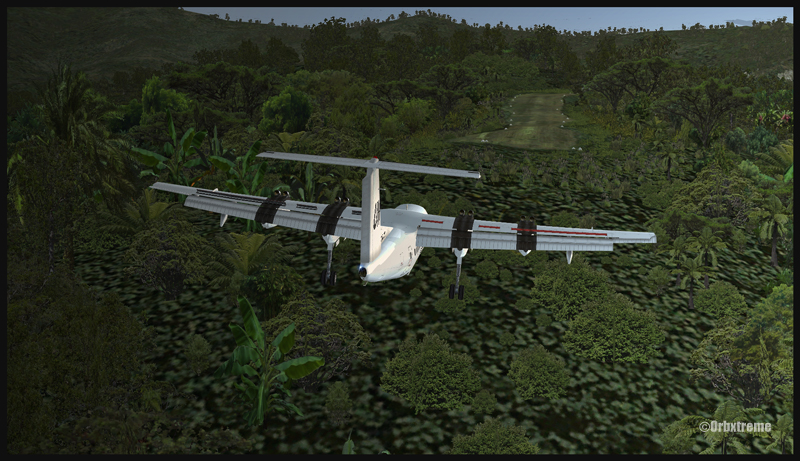
The landing in Kagi is made on runway 07 and the takeoff on runway 25. From Kokoda airport, follow the Kokoda trail then, when appropriate, make a right turn toward Kagi. There are few airports within a small area so it can get a bit confusing. The best way is to overfly the area slowly to ensure that what you see in flight and what is on the map are both the same airport.
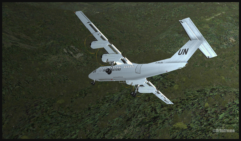
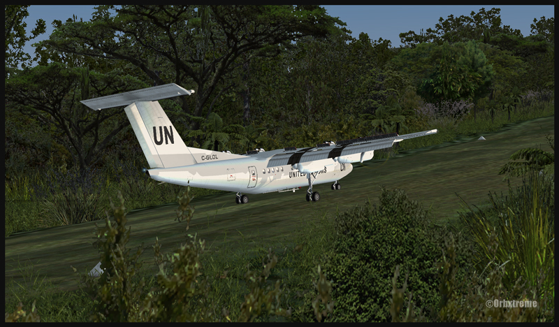
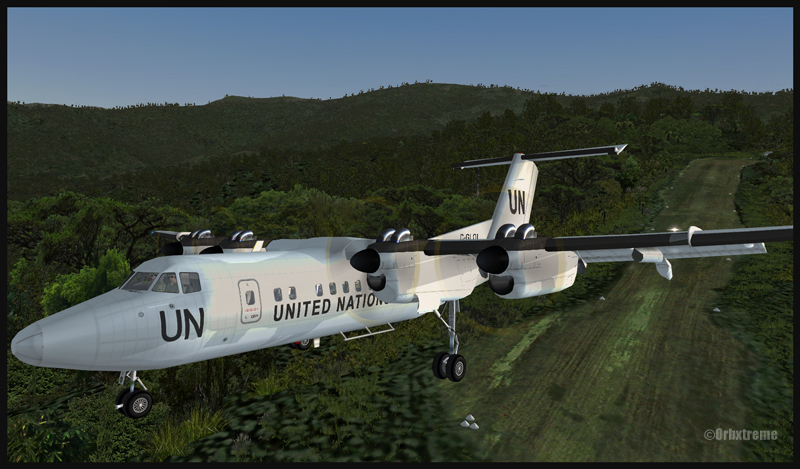
The two most difficult aspects of the approach are the steep turns required while flying close to the mountains in slow flight configuration, that is to say with full flaps and wheels out. The second problem to keep in mind is the sloped runway: 12.5 degrees is not negligeable. But once you are on the runway, the Dash 7 will almost stop by himself due to that slope. The takeoff on runway 25 is not a problem with that aircraft: with such a sloped runway, you will be airborne in no time.
I am convinced you will enjoy this demanding flight. There are lots of plants and trees included in the scenery, so it makes for a very realistic approach. Have fun and make sure your passengers will still have a smile on their face when they get out of the airplane!
P.S.: The flight was made using FSX
For more articles on flight simulation on my web site, click on the following links: Challenging virtual flights or Flight simulation