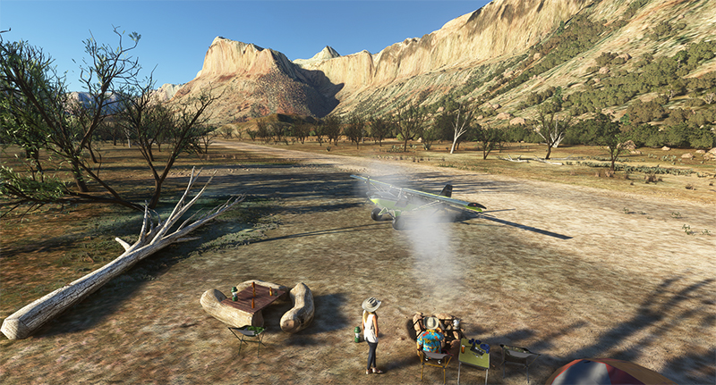
The Mexican Mountain Virtual Landing Strip (42MX) under Microsoft Flight Simulator 2020 (MSFS) is located in the United States, in Utah. It is a 1800 x 40 feet dirt runway, sloping slightly to the west.
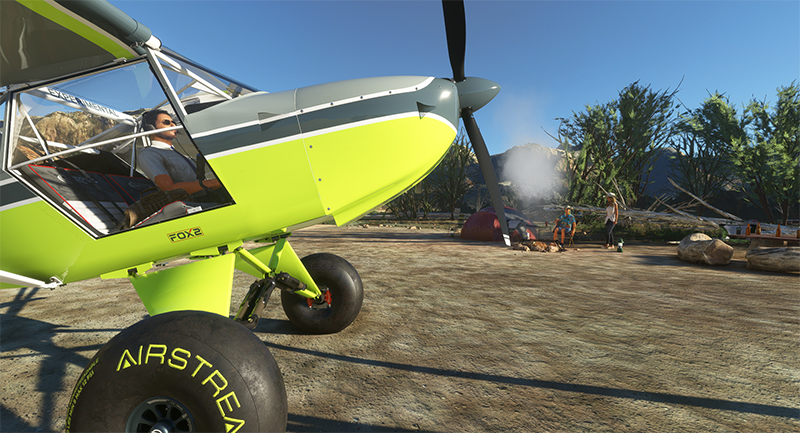
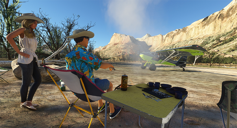
The MX42 Mexican Mountain airstrip with visitors (MSFS)
The surrounding landscape is characterized by large cliffs and mountains whose peaks reach 6900 feet.
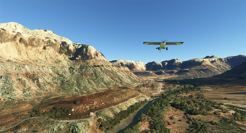
Airborne from the 42MX Mexican Mountain airstrip in MSFS flight simulation
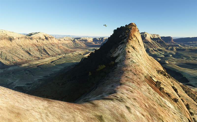
Virtual scenery around the 42MX Mexican Mountain airstrip (MSFS)
Once on the ground and near the campfire, we can hear the fire crackling and the RC Plane activities through the walkie-talkie left on the table. We can’t tell if anyone will be there when we arrive. This time, a young couple was enjoying the good weather and had taken the time to light a fire in my absence…
42MX Mexican Mountain visitors taking a break in MSFS
One final note from the company: pineapples on pizza are not allowed on the site.
If you have purchased the Bushplane Campout 42BC, the simulation will be all the more realistic.
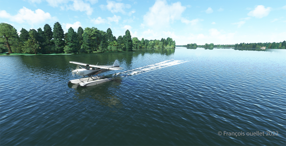
Taking of from Rivière des Mille-Îles near Marina Venise
Today’s flight is part of my blog’s standard virtual flight category. The take-off is from the Mille-Îles River in Quebec. There will be a touch and go at Mirabel (CYMX) and a flight over Quebec and Ontario to the Cascades hydrobase (CTY3).
Towards the Mirabel international airport (CYMX) with the MSFS 2020 flight simulator.
Flying at low altitude towards Mirabel airport, for a touch and go.
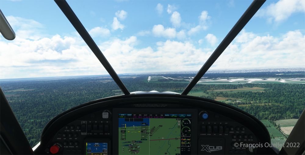
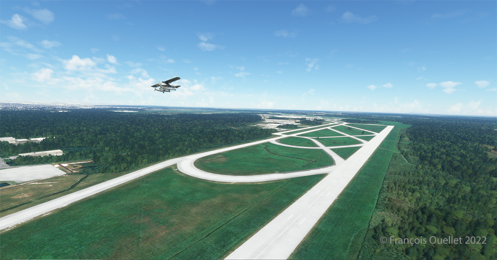
The Mirabel (CYMX) runway is in sight.
One of the CYMX runways can be seen straight ahead. If a virtual pilot does not find the runway long enough to do a touch and go, then a refresher course is in order.
Touch and go at the Mirabel airport with MSFS 2020
Takeoff from Mirabel. This is the advantage of an amphibious aircraft; you can land anywhere.
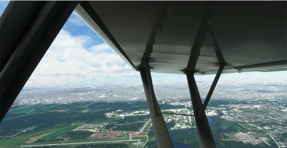
The virtual weather shows the difference between the snow in the north and the green vegetation in the south.
The Lachute airport (CSE4) is visible (buildings in red in the foreground). Flying in April in Quebec allows to notice the demarcation between the still white landscapes (the snow persists) in the north and the areas where everything has already melted.
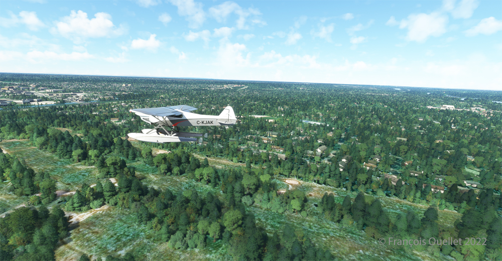
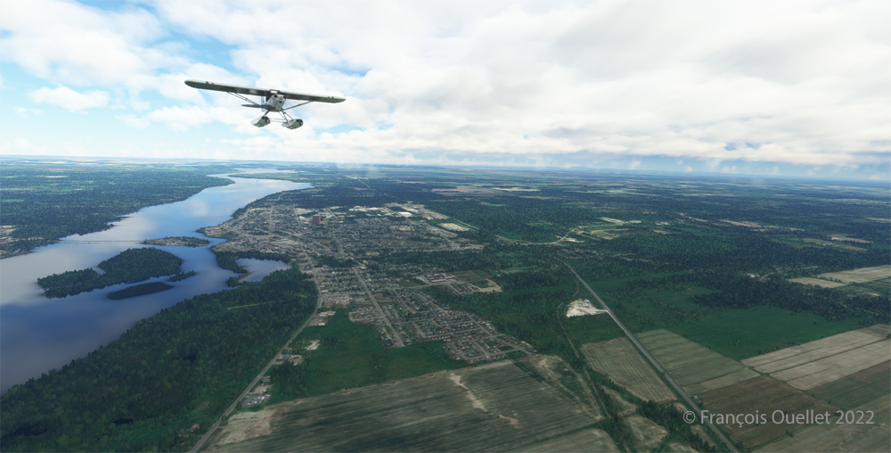
Over Hawksbury, Ontario, with the MSFS 2020 flight simulator.
The flight continues to the Cascades waterbase (CTY3). The Ottawa River separates Quebec from Ontario. The aircraft is currently over the town of , Ontario, with Hamilton Island on the left.
Realism of the flight simulation under MSFS 2020
The screenshot above shows the very realistic effect of the virtual landscape, both in terms of the virtual weather, the multiple color tones of the ground and the shading on the ground and on the aircraft caused by the breaks between the clouds.
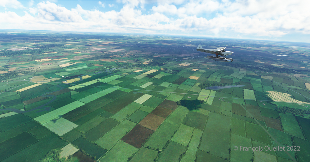
Overflying the Plaisance National Park in Quebec with MSFS 2020
Descending for 1500 feet. Near Gatineau, the weather conditions deteriorate slightly. But it will be short-lived.
Turning towards the Gatineau river with the MSFS 2020 flight simulator.
Right turn for a water landing on the Gatineau River. The destination is in sight.
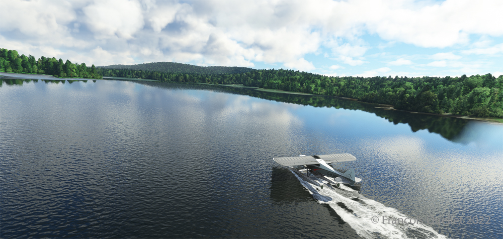
Water landing of the Gatineau river near the Wakefield hydrobase (CTY3)
The plane progresses slowly towards the hydrobase.
Aerial view of the Wakefield hydrobase (CTY3) with MSFS 2020
There is not yet a virtual waterbase worthy of the name for Cascades under Microsoft. At low altitude, the virtual pilot notes that he is only flying over a photo with aircraft footprints. An aerial view shows the CTY3 hydrobase.
Those who wish to repeat the experience will find the ride quite interesting.
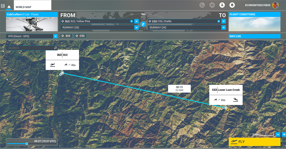
MSFS 2020 map for the flight 3U2 to C53 in United States
The challenging virtual flight is from Johnson Creek Airport (3U2) to the Lower Loon Creek Airstrip (C53) in the United States, using the MSFS 2020 flight simulator. The software map shows the type of aircraft chosen, a CubCrafters X Cub on floats, as well as the trajectory over the Idaho mountains.
The idea of using an amphibious aircraft for this flight is a bit far-fetched, but the goal is to make the pilot’s job a little more difficult by adding weight to the aircraft.
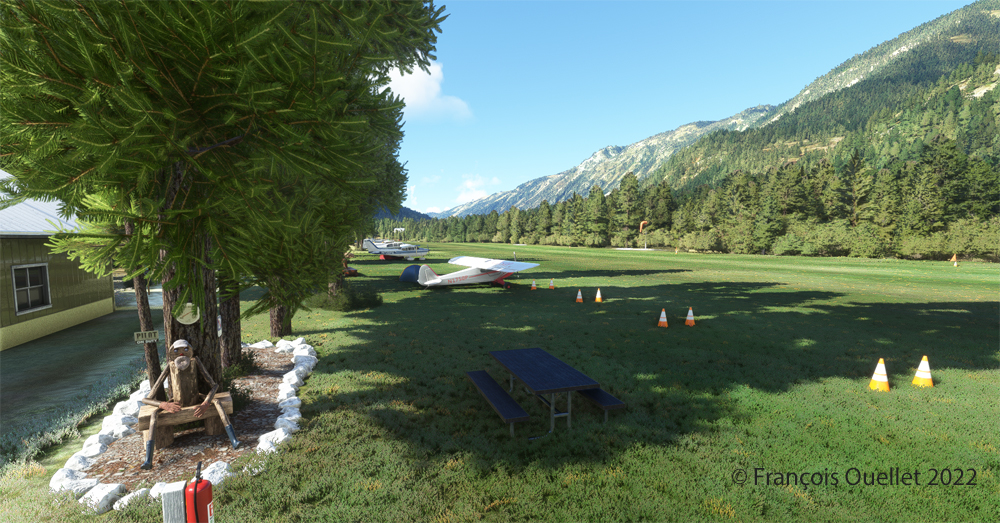
Johnson Creek (Yellow Pine) airport 3U2 with MSFS 2020
Johnson Creek Airport (3U2) is a creation of Creative Mesh. It is charming, with tents here and there planted near the planes. The runway is 3480 feet long by 150 feet wide. It is oriented on a 17/35 axis and still quite high at 4960 feet above sea level (MSL).
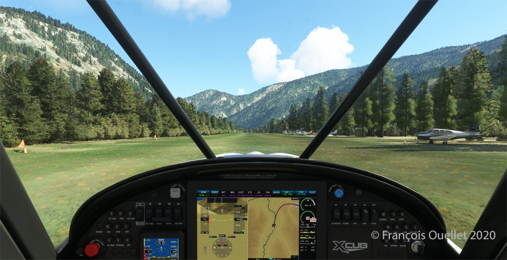
Amphibian CubCrafters X Cub ready for departure at the Johnson Creek 3U2 virtual airport with MSFS 2020.
Given the departure altitude, one must not forget to adjust the air/fuel mixture so as not to lose power on takeoff, especially since there is a mountain at the end of the runway and the floats increase the weight of this small aircraft. The air is also thinner as the flight takes place in summer and at a high altitude; this represents another obstacle to the aircraft’s performance.
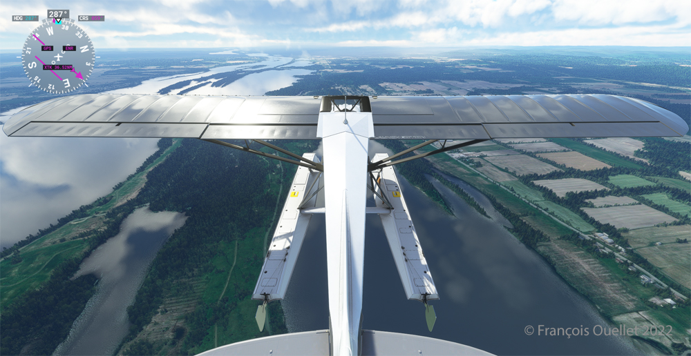
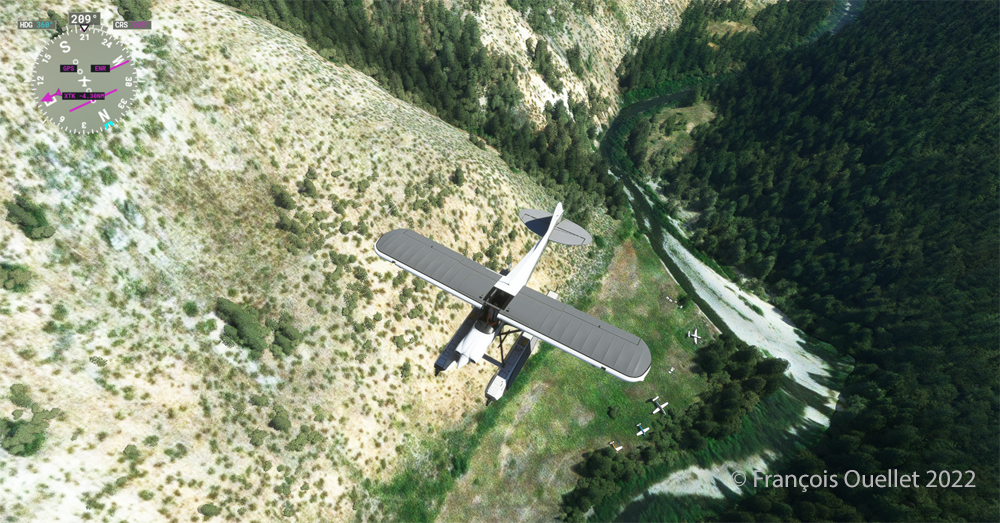
Avoiding obstacles after take-off from the 3U2 Johnson Creek virtual airport using MSFS 2020.
The mountains near the runway present a significant obstacle. The virtual pilot must use the best possible angle of climb without worrying about the route recommended by the GPS. The flaps are kept slightly extended during the initial climb.
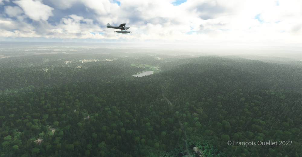
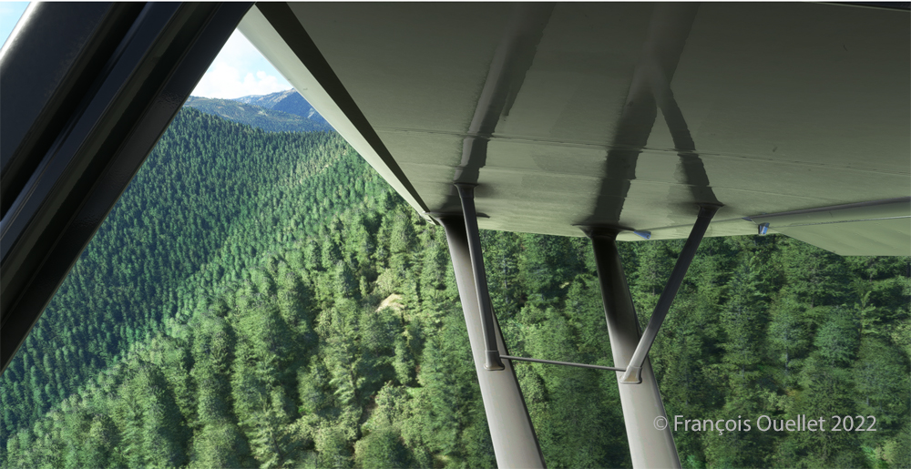
Flying over the Idaho mountains in flight simulation with MSFS 2020.
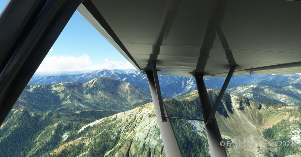
Once at a safe altitude and back on the GPS suggested route, the view of Idaho’s spectacular mountains is more enjoyable. Throughout the climb, the air-fuel mixture and altimeter (“B” on MSFS 2020) have to be adjusted.
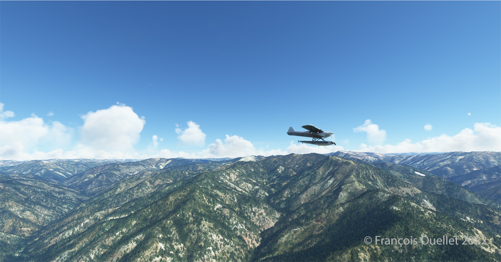
CubCrafters X Cub floatplane over the Idaho mountains in flight simulation MSFS 2020
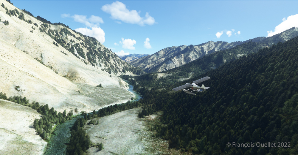
An altitude of almost 10,000 feet ASL makes it possible to fly over the mountains without risk of collision.
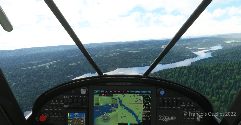
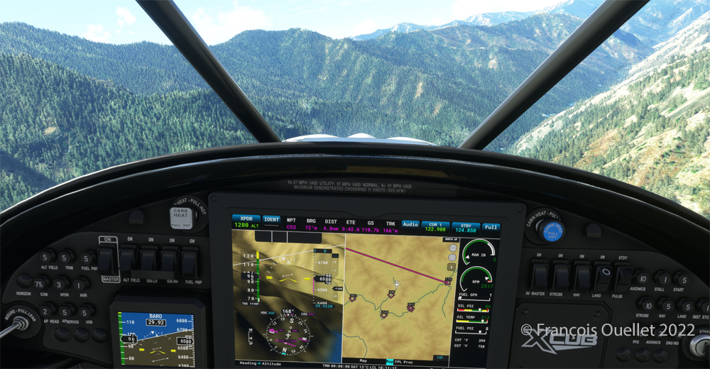
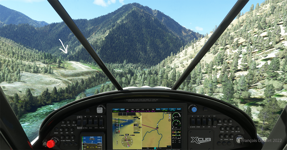
Descending in the valley towards the ID8 Marble Creek airport in Idaho in fligh simulation.
At the right moment, when the small surrounding airports and the river appear on the GPS, we leave our GPS road, until now in straight line, and we align in the valley to fly over the river until our destination, avoiding the surrounding mountains. In the photo above, the descent has already begun, with a necessary gradual adjustment of the air-fuel mixture.
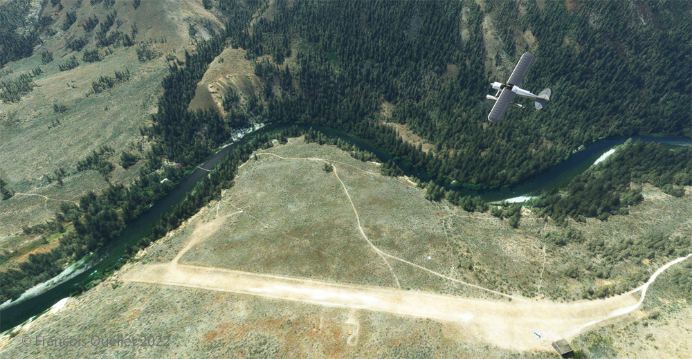
Flying over the (ID8) Marble Creek airport in Idaho using the MSFS 2020 flight simulator.
We fly over a first small airport. The picture above shows the planes parked on the runway of Marble Creek airport (ID8), which dimension is 1160 x 20 feet. For those which would be interested in trying a landing there, the orientation of the runway is 03/21 and the altitude of 4662 feet MSL.
Flying over the 2U8 Thomas Creek Airport in Idaho using the MSFS 2020 flight simulator.
On the way towards our final destination, we also fly at low altitude over the Thomas Creek (2U8).
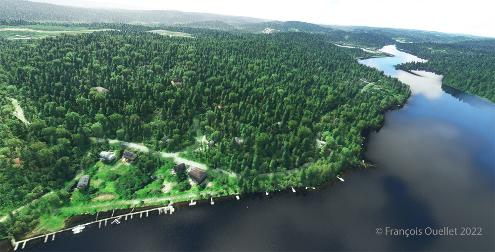
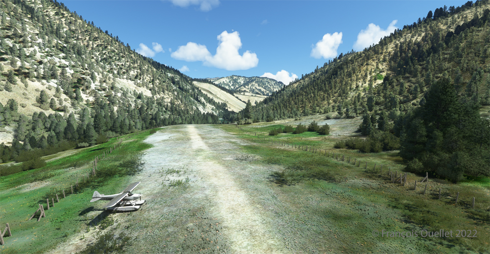
Following the river towards the C53 Lower Loon Creek airstrip using the MSFS 2020 flight simulator.
The mountains on either side of the river require close attention, as the poor performance of a small aircraft equipped with floats does not allow for easy correction of navigational errors.
By the time the runway suddenly becomes visible, the plane will not be on course but 90 degrees off the ideal course. It will be necessary to quickly turn left into the valley, make a fairly sharp 180-degree turn to the right to avoid the mountains, and then get back on course to land. It is only at this point that the landing gear will be extended.
On final for Lower Loon Creek airstrip with MSFS 2020
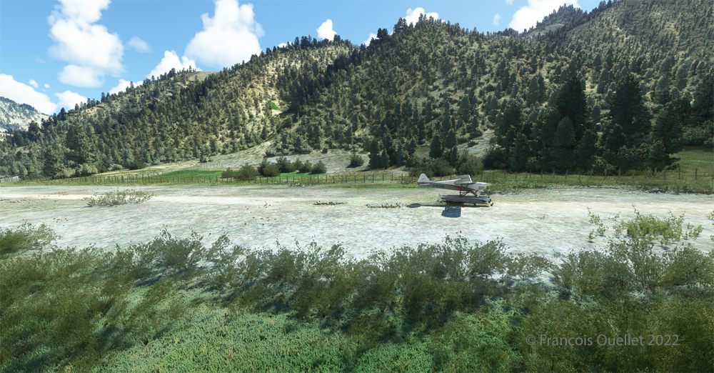
The photo above shows the aircraft on final for the Lower Loon Creek dirt and grass runway (C53). It is located at 4084 feet MSL and is only 1200 feet long by 25 feet wide. Note that the approach should be made on runway 16 when possible.
Amphibian CubCrafters X Cub rolling down the C53 Lower Loon Creek airstrip in Idaho after landing.
As always, a stabilized aircraft on final makes landing easier, regardless of the conditions.
Amphibian CubCrafters X Cub parked at the C53 Lower Loon Creek airstrip using MSFS 2020 flight simulator.
We park the plane and rest a bit. Today, there is no one else here. But that’s not always the case in real life, as this video of a landing at Lower Loon Creek shows it.