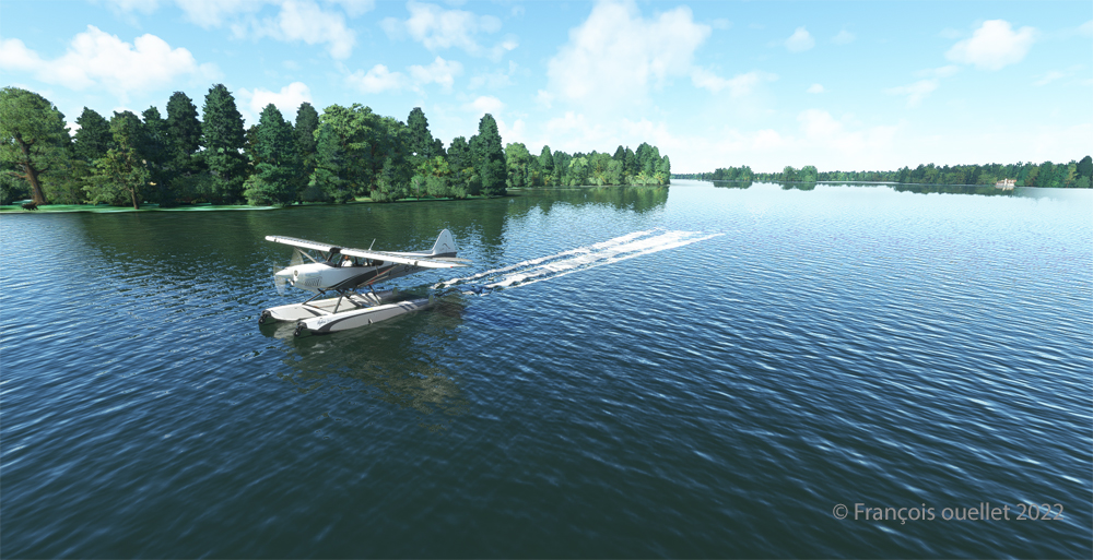
Today’s flight is part of my blog’s standard virtual flight category. The take-off is from the Mille-Îles River in Quebec. There will be a touch and go at Mirabel (CYMX) and a flight over Quebec and Ontario to the Cascades hydrobase (CTY3).
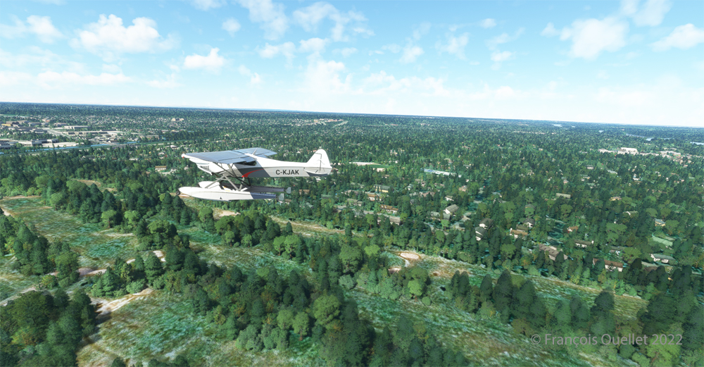
Flying at low altitude towards Mirabel airport, for a touch and go.
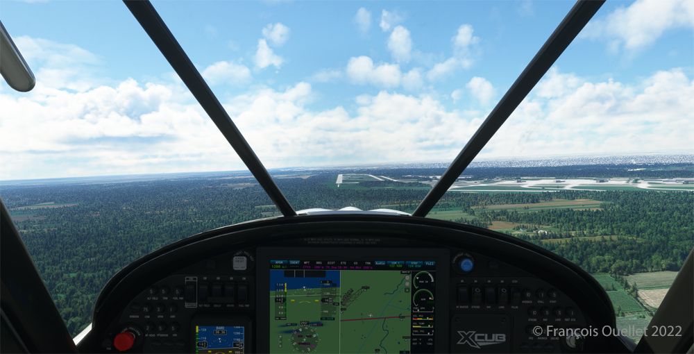
One of the CYMX runways can be seen straight ahead. If a virtual pilot does not find the runway long enough to do a touch and go, then a refresher course is in order.
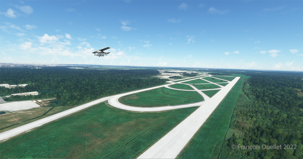
Takeoff from Mirabel. This is the advantage of an amphibious aircraft; you can land anywhere.
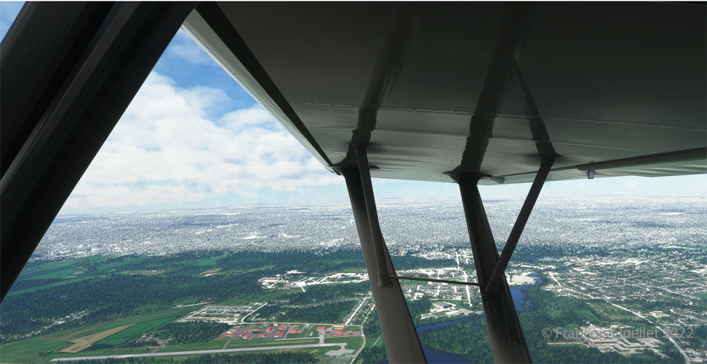
The Lachute airport (CSE4) is visible (buildings in red in the foreground). Flying in April in Quebec allows to notice the demarcation between the still white landscapes (the snow persists) in the north and the areas where everything has already melted.
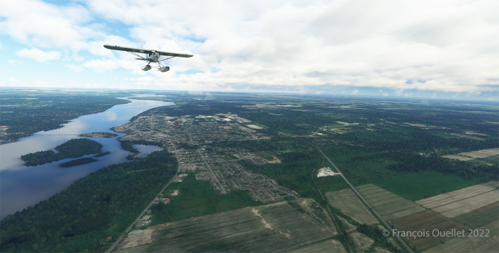
The flight continues to the Cascades waterbase (CTY3). The Ottawa River separates Quebec from Ontario. The aircraft is currently over the town of , Ontario, with Hamilton Island on the left.
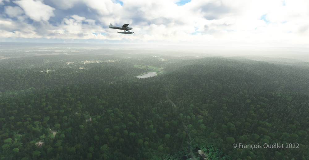
The screenshot above shows the very realistic effect of the virtual landscape, both in terms of the virtual weather, the multiple color tones of the ground and the shading on the ground and on the aircraft caused by the breaks between the clouds.
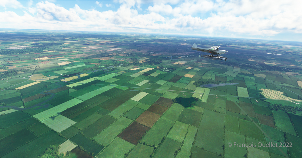
Above Parc national Plaisance, a Quebec property.
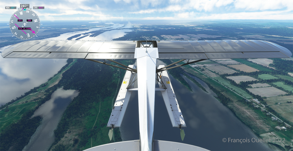
Descending for 1500 feet. Near Gatineau, the weather conditions deteriorate slightly. But it will be short-lived.
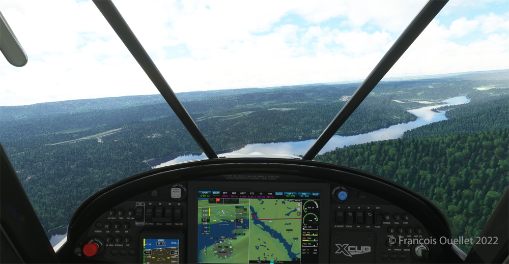
Right turn for a water landing on the Gatineau River. The destination is in sight.
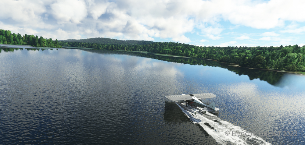
The plane progresses slowly towards the hydrobase.
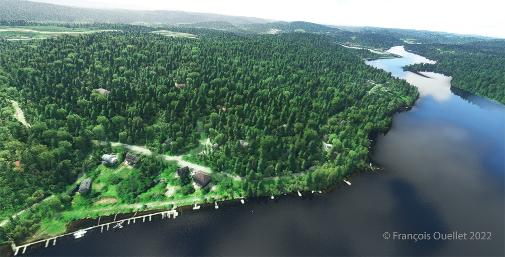
There is not yet a virtual waterbase worthy of the name for Cascades under Microsoft. At low altitude, the virtual pilot notes that he is only flying over a photo with aircraft footprints. An aerial view shows the CTY3 hydrobase.
Those who wish to repeat the experience will find the ride quite interesting.
Click on the link for more standard virtual flights on my blog.