Categories
Flight Simulation

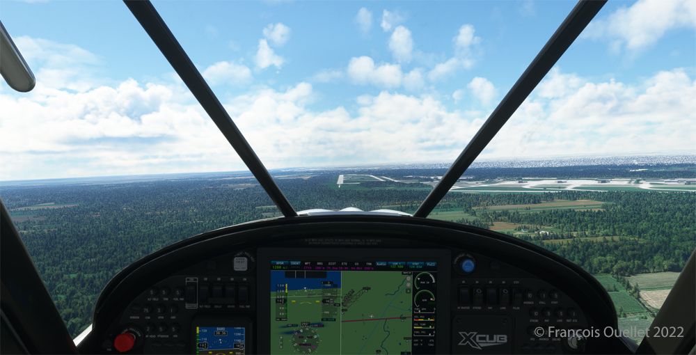
Elk River (NC06) to Mountain Air County Club (2NC0) with MSFS 2020.

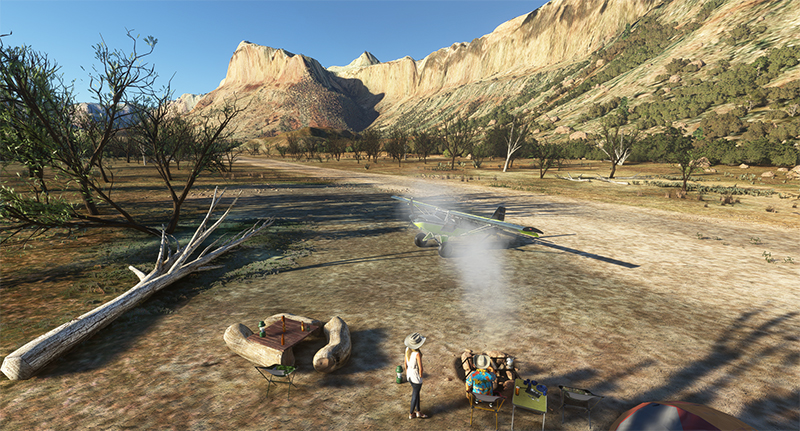
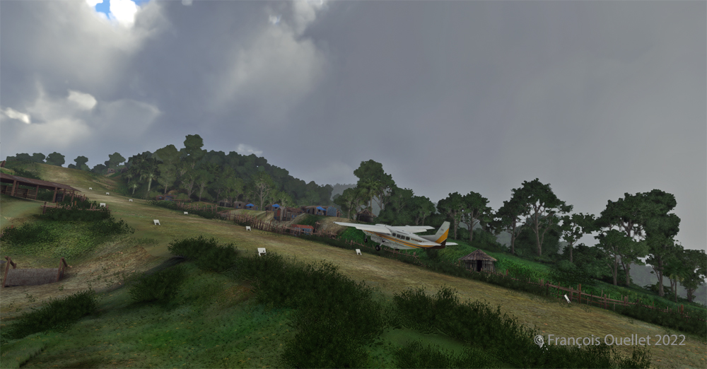
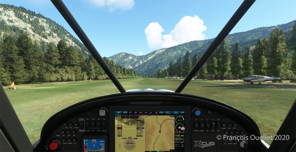
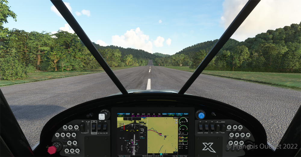
Ready for departure at the Elk River airport (NC06) created by Cloud Studio.

Today’s twenty-minute virtual flight is conducted using Microsoft MSFS 2020 flight simulation software. The virtual airport at Elk River (NC06)   in the United States, modeled here by Pilot’s, is located at approximately 3468 feet (ft) above sea level (MSL). Its sloped 12/30 runway can accommodate many types of aircraft as its dimensions are still 4600 feet long by 75 feet wide. A golf course is located near the airport facilities.

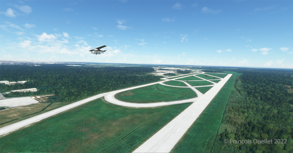
The sloped runway of the Elk River airport (NC06) with the MSFS 2020 flight simulator.

In the distance, the end of runway 30 can be seen rising rapidly. The trip to Mountain Air County Club Airport (2NC0), modeled by Cloud Studio, is made with a single engine Cubcrafters NX Cub.

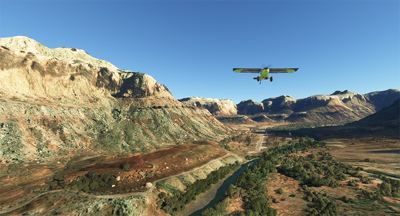
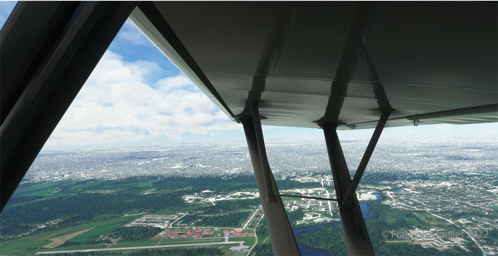
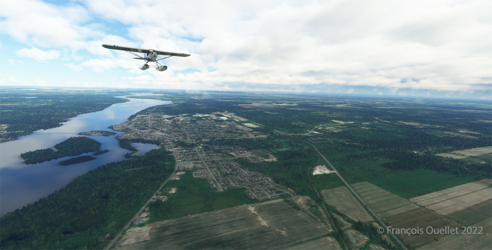
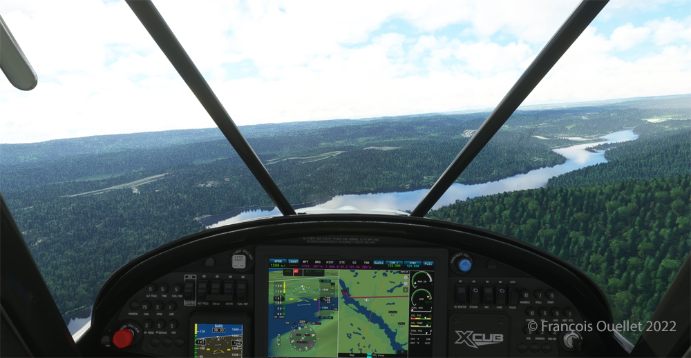
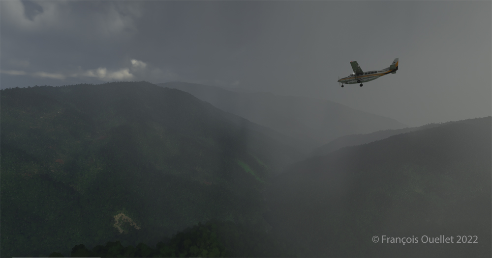
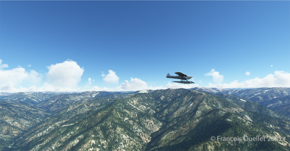
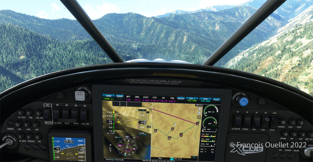
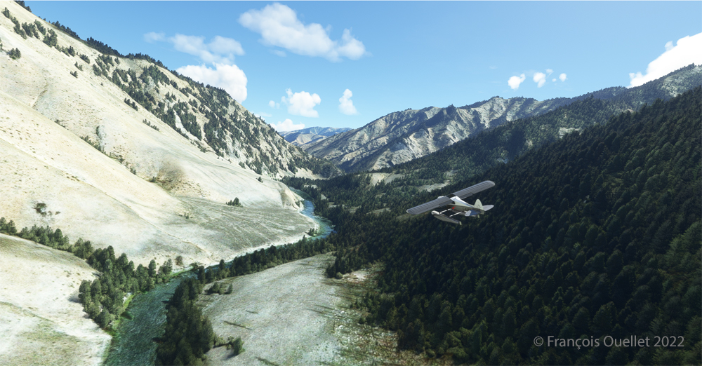
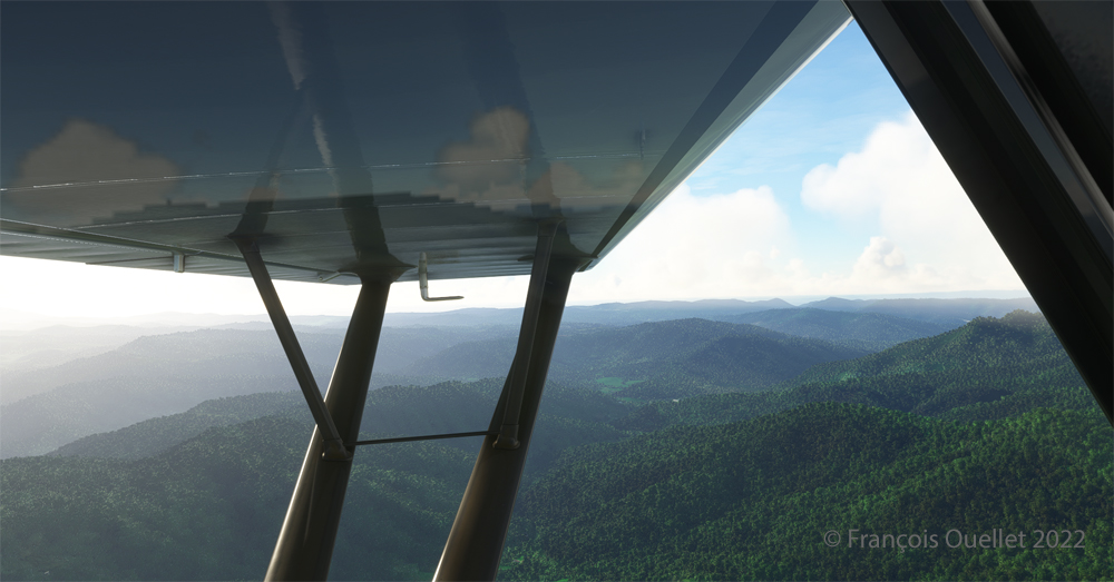
Enroute towards the Mountain Air County Club (2NC0) airport from Elk River (NC06) with MSFS 2020.

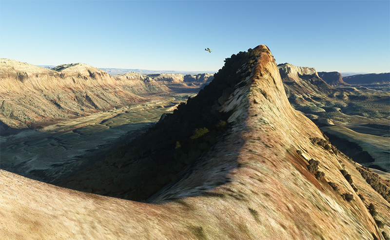
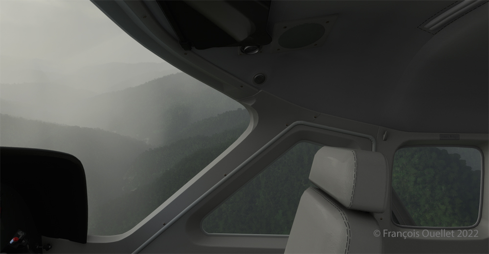
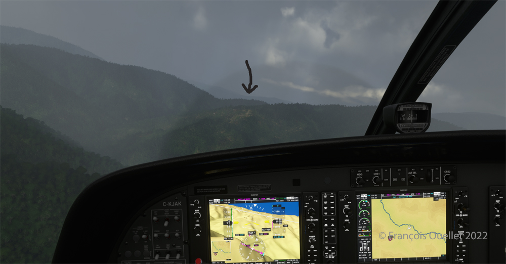
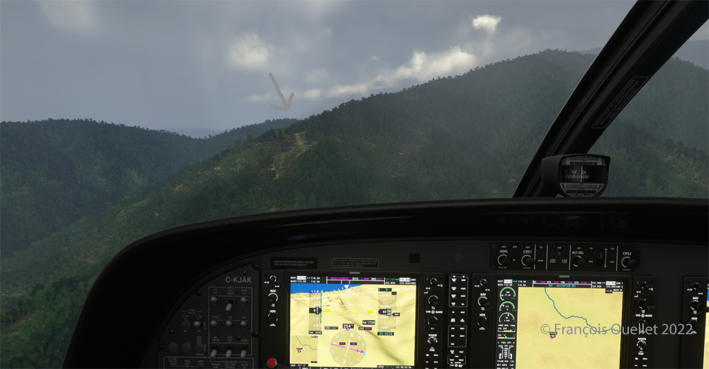
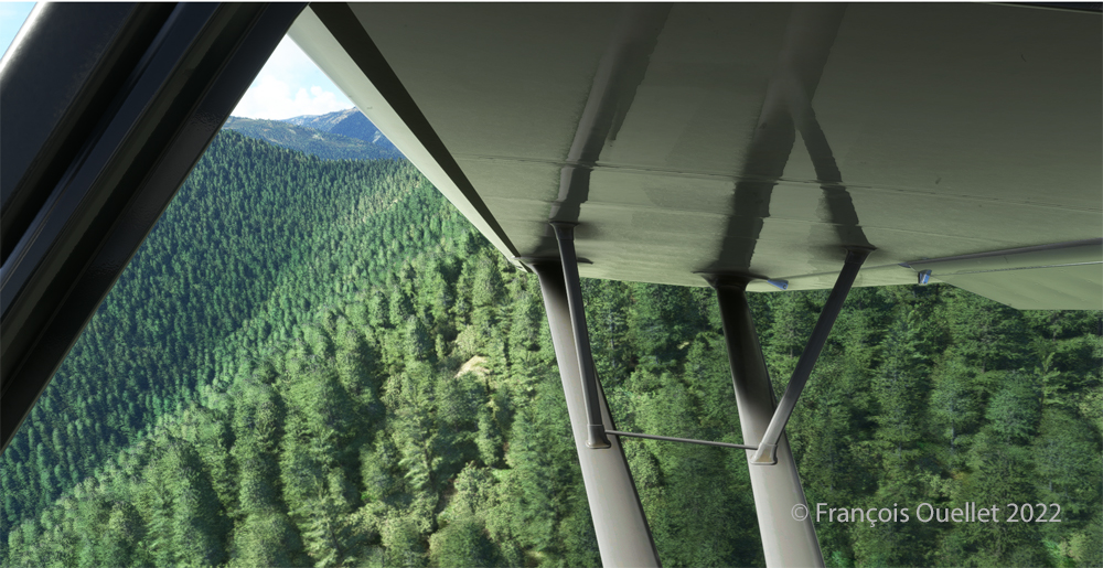
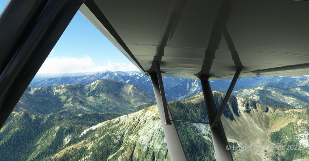
In direct flight with GPS, the virtual pilot will have to climb at around 7000 feet msl to avoid the surrounding mountains. It is therefore important to adjust the air/fuel mixture during climb and descent for the destination. Also, don’t forget to adjust the altimeter (press “B”) as you move away from the point of departure. Near the summits, you will experience mechanical turbulence, which is normal.

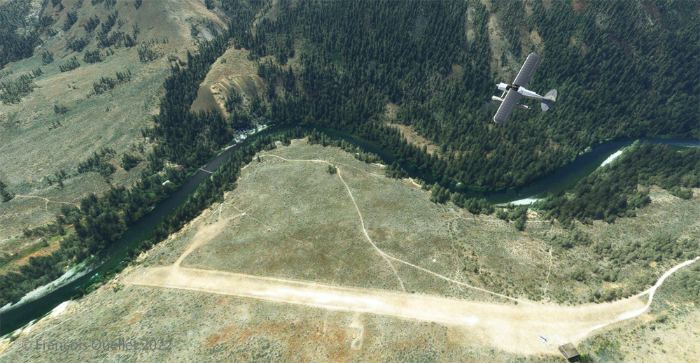
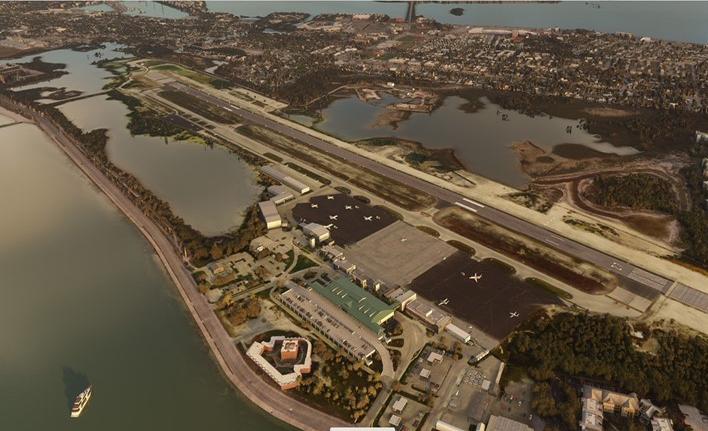
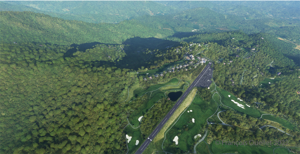
Aerial view of the Mountain Air County Club (2NC0) airport created by Pilot's.
Aerial view of the Mountain Air County Club (2NC0) airport created by Pilot’s.

The photo above shows the virtual airport of Mountain Air County Club (2NC0) with the MSFS 2020 flight simulator. The sloped runway is 2900 feet long and only 50 feet wide. A golf course surrounds this airport located at 4432 feet MSL. Since the winds are light, the approach will be on runway 14.

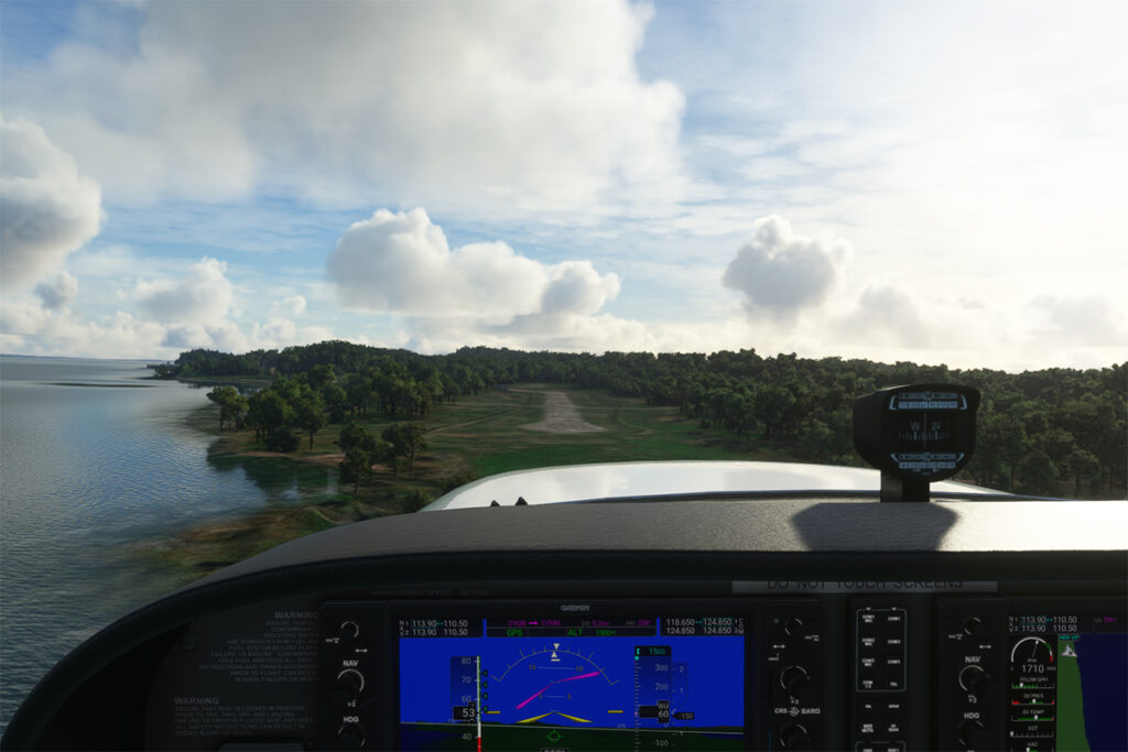
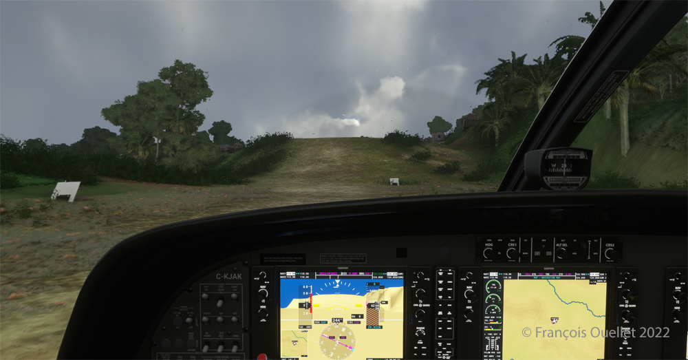
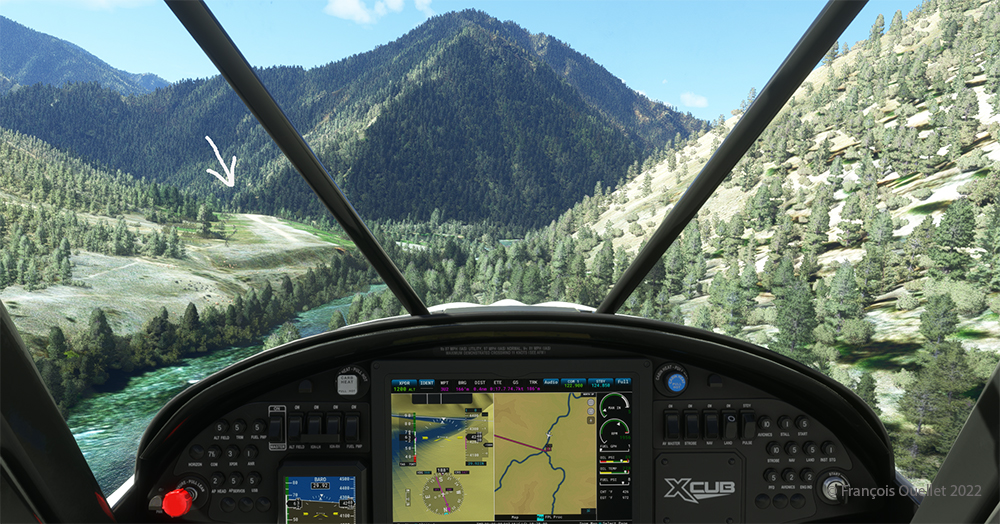
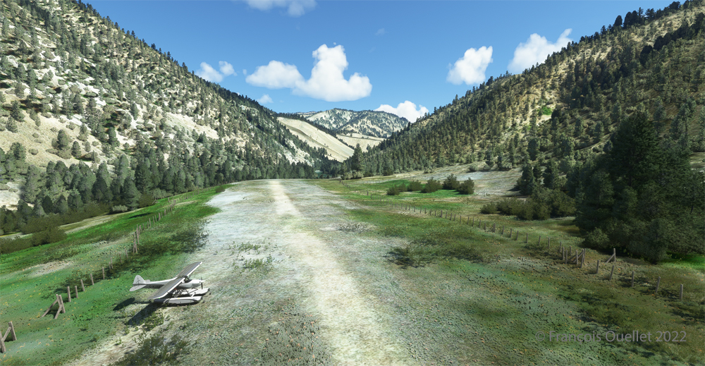
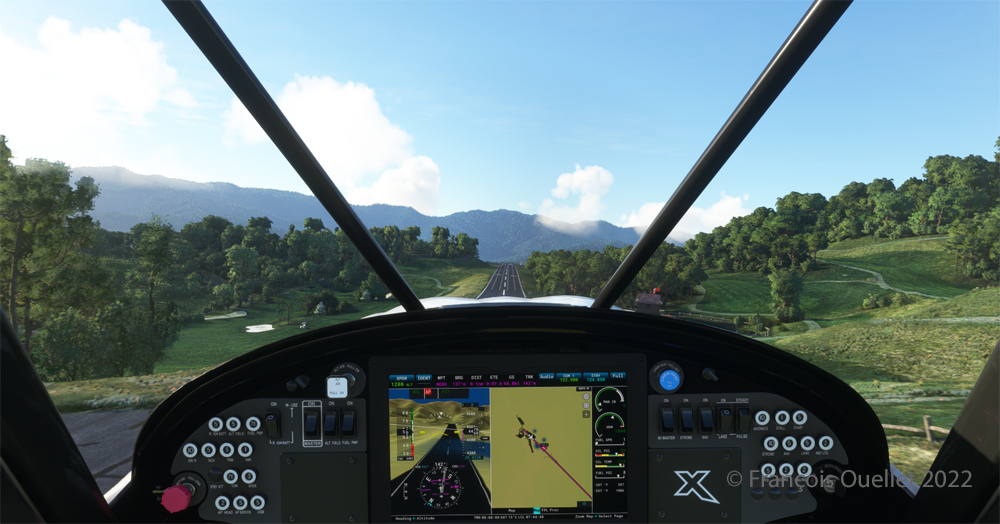
On final for the sloped runway of the Mountain Air County Club (2NC0) airport using MSFS 2020.

On final approach, it is easy to see the uphill angle of this airstrip, which is slightly more damaged than the one at Elk River.

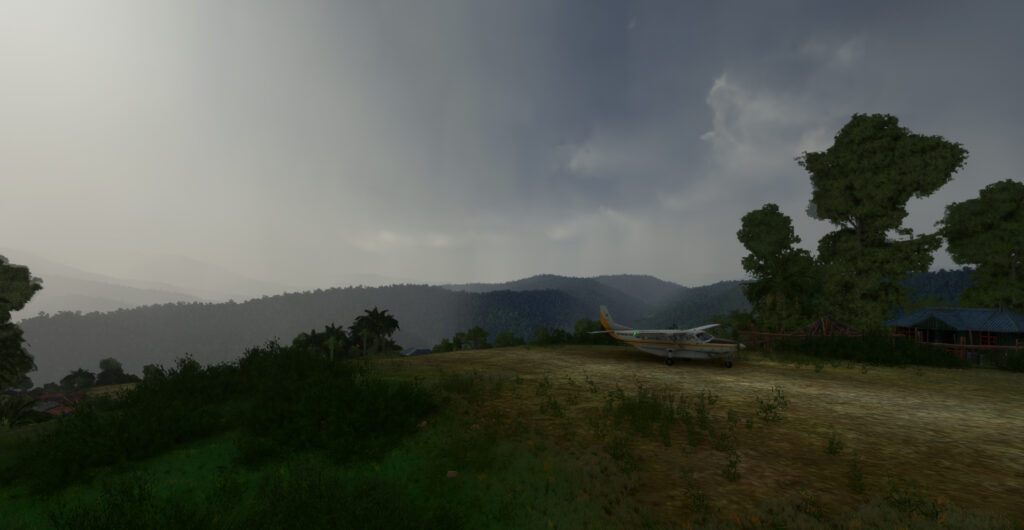
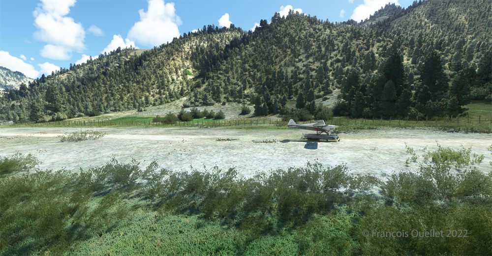
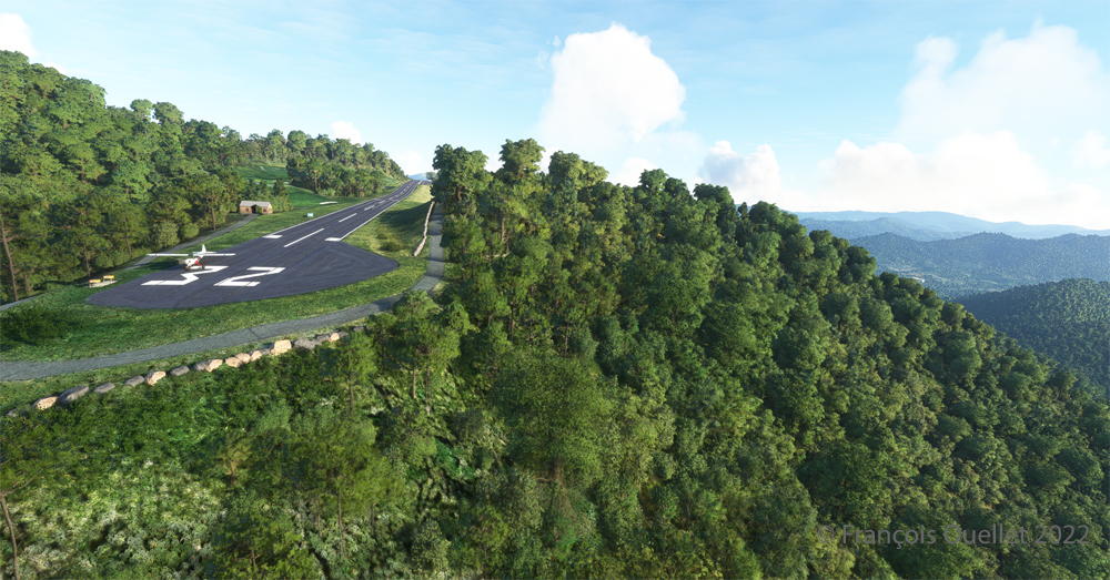
A view of the cliff at the threshold of runway 32 at the 2NC0 Mountain County Air Club airport created by Pilot's pour MSFS 2020.
A view of the cliff at the threshold of runway 32 at the 2NC0 Mountain County Air Club airport created by Pilot’s pour MSFS 2020.

As we continue to taxi to the end of runway 14, we notice the cliff that awaits the pilot who has not properly prepared his landing. No forgiveness!

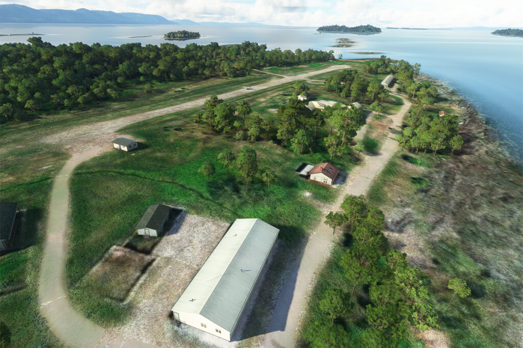
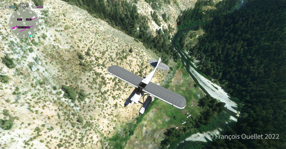
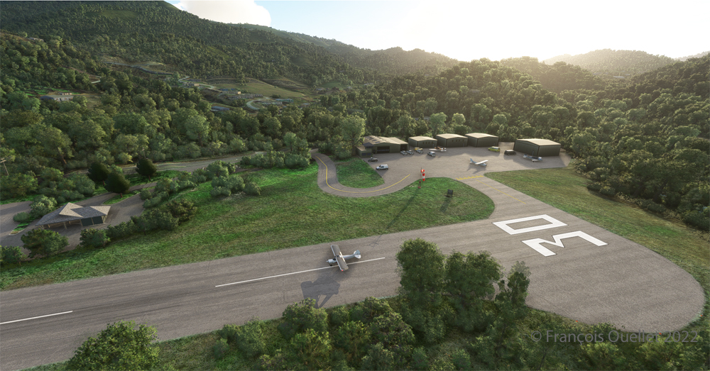
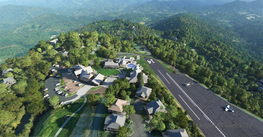
View from above of the Mountain Air County Club airport 2NC0 with the MSFS 2020 flight simulator.

An elevated view shows the threshold of runway 14 and the buildings associated with the golf club. A few golf loving pilots have already parked their aircraft to the left of runway 14. For this screenshot, I used the excellent X-BOX drone.

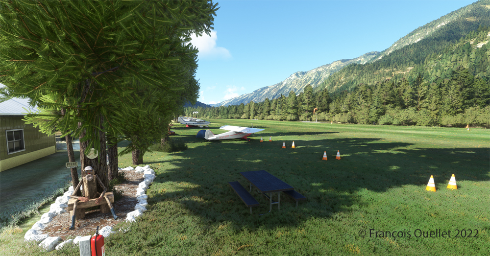
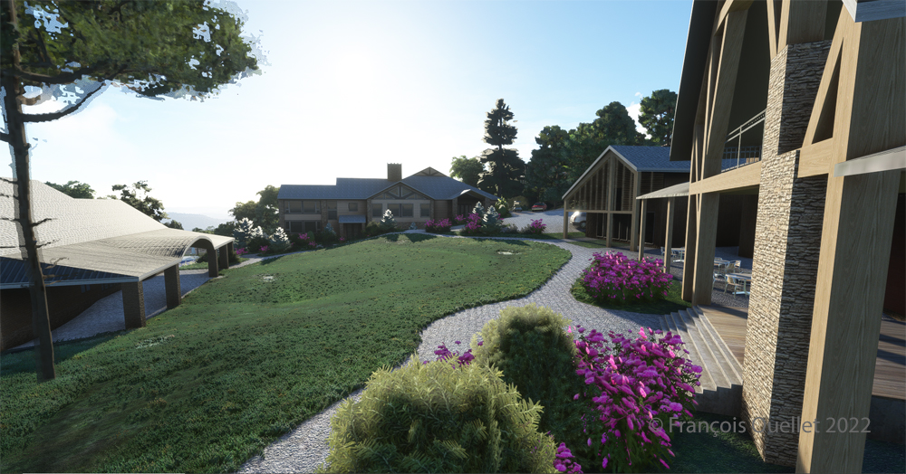
Buildings and flowers at the Mountain Air County Club airport (2NC0) created by Pilot's for MSFS 2020.
Buildings and flowers at the Mountain Air County Club airport (2NC0) created by Pilot’s for MSFS 2020.

A final photo shows the buildings and flowers associated with the golf club. The bird recordings are easily heard, which enhance the scene. Flight simulation enthusiasts wishing to repeat the experience should do so under VFR conditions to keep an eye on the mountain tops during the approach.

Click on the link for more challenging virtual flights under MSFS 2020 and FSX on my blog.

Categories
Flight Simulation Screen captures

A few Microsoft Flight Simulator 2020 screenshots.

Below are a few Microsoft Flight Simulator 2020 (MFS 2020) screen captures taken during virtual flights.

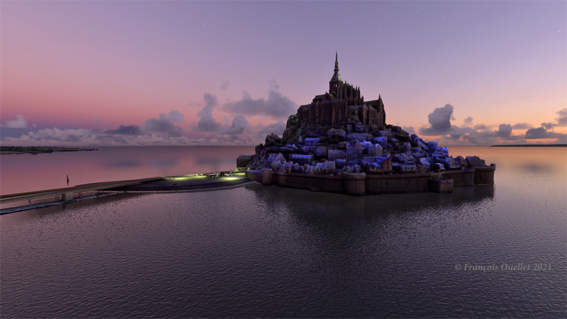
Le Mont St-Michel en France, sous MFS 2020.

Mont St-Michel is a very nice addition to the France virtual scenery provided by MFS 2020. Such great sites can be found in many places in the Microsoft Flight Simulator 2020 program, but many more are also available for free through the flight simulation community : they can then be downloaded and installed in MFS 2020, thus ever improving the overall experience.

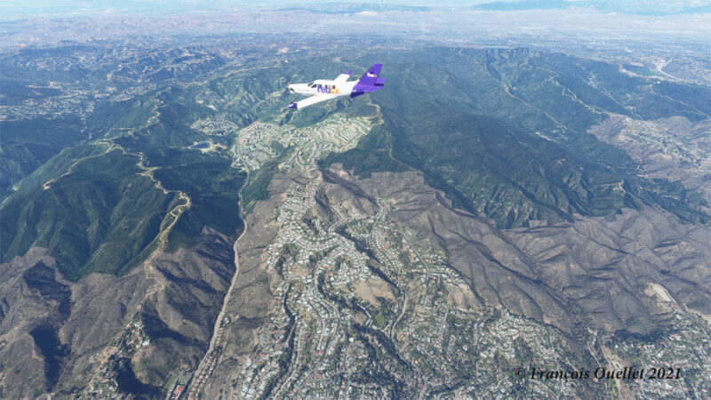
Heading to KLAX from KBUR with a TBM 930 on the flight simulator MFS 2020.

The haze is quite present in the Los Angeles area and adds to the realism in the screenshot above. The FedEx livery comes from « Liveries Mega Pack Manager ».

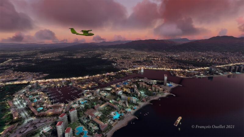
Puerto Vallarta with MFS 2020 and improved scenery by John Lovell

The Icon A5 Kingfisher is seen flying along the Puerto Vallarta coast in Mexico. The scenery was hugely improved by John Lovell and is available through Flightsim.to. But it will require 5 GiG on your hard disk!

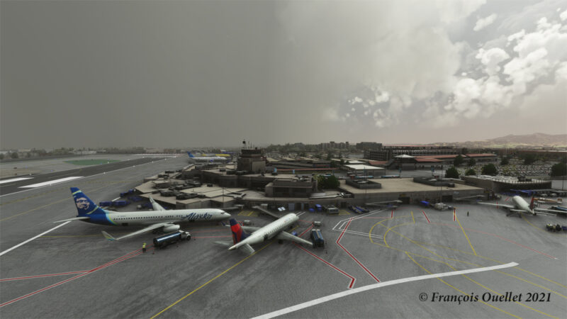
The Burbank Bob Hope (KBUR) modelized by Orbx on the flight simulator MFS 2020.

The picture above shows a small part of the Burbank Bob Hope airport (KBUR) modelized by Orbx. The screen capture was taken with the X-Box drone. This drone is a fantastic addition to what is now available to flight simulation enthousiasts when comes the time to bring back souvenirs from a flight.

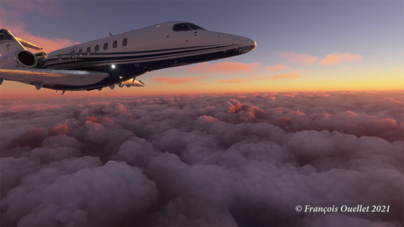
Heading to Iqaluit with the flight simulator MFS 2020.

Enroute to Iqaluit (CYFB), the jet just got out of the cloud deck and some rime icing is still visible on the nose and the wing’s leading edge. That evening, there was a sigmet reporting high level turbulence and it is exactly what I experienced during the flight, using REX Weather Force 2020 as a weather engine.

I’ll be back with more flight simulation screen captures soon. Meanwhile, have a good virtual flight!

Click on the following link for virtual flight simulation pictures on my blog.
Categories
Flight Simulation

Microsoft Flight Simulator 2020

Approaching the Narita international airport, in Japan, with Microsoft Flight Simulator 2020.

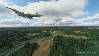
The Microsoft Flight Simulator 2020 is an extremely interesting product. Microsoft is taking advantage of the satellite imagery offered by Bing, which allows the flight simulation enthusiast to fly over the world almost like in the real life. With the addition of live weather and air traffic in real time, the immersion is incredible.

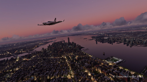
Flying over New York in the evening with Microsoft Flight Simulator 2020.

To download the game’s 128 gigabytes using my current internet plan, it took fourteen hours. I still remember when I bought a hard drive that could hold 30 megabytes of data: it was a computer revolution!

Of course, the game requires an adaptation. We are far from the old FSX platform. It goes without saying that you need a high-performance computer. But a new and very positive aspect of this simulator is that you can now use an X-Box controller as an in-flight camera, with the addition of a rudder and a steering wheel for more reality. This camera offers incredible possibilities and the additional X-Box controller becomes essential.

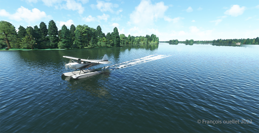
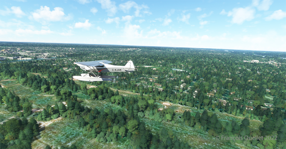
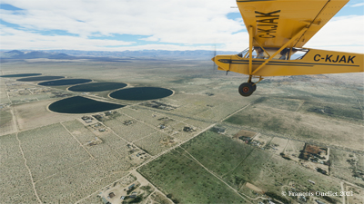
The Zlin Savage Cub flying over the United States using Microsoft Flight Simulator 2020.

As with anything new, there are some glitches. Personally, I have been using the CH company products for flight simulation for many years and the new MSFS 2020 has had problems recognizing the functions of CH products. Many virtual flight enthousiasts have had the same problems. So here are the links below that allowed a neophyte like me to solve the problems.

A first video of interest is also available. Its author uses a slightly different method, but it is super easy to understand and allows you to acquire additional knowledge if you want to map your CH rudder and control column correctly.

A second video gives you access to the CH company products. There you will find the links that allow you to print a representation of your CH flight controls. This will allow you to find which number is associated with a specific command control. You can then remap the controls to your taste and keep a record of all the modifications you made.

Here are two other practical links for answers to various questions about X-Box and other subjects and CH products.

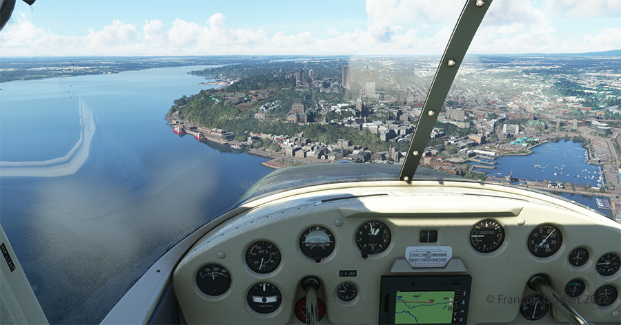
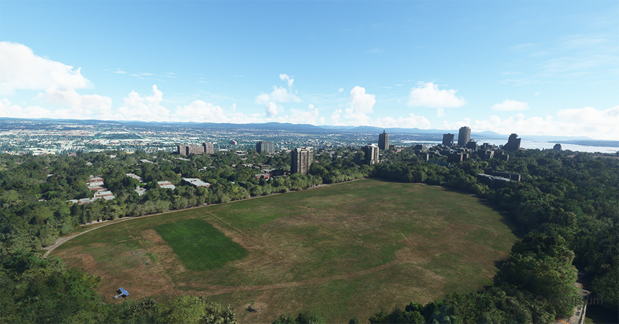
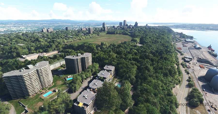
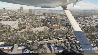
Aerial view of Quebec City using Microsoft Flight Simulator 2020.

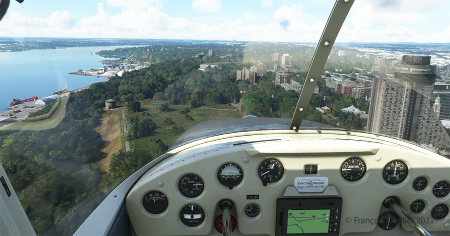
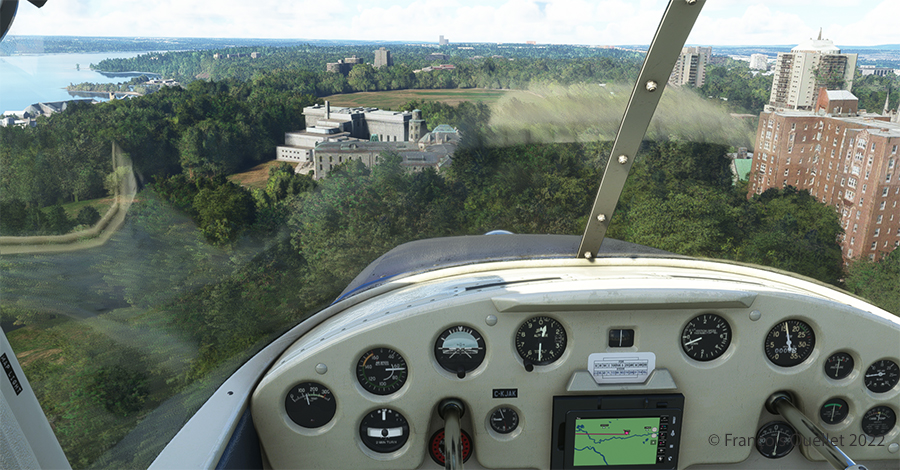
In the screenshot above, you might recognize Quebec City, with the restaurant Le Concorde in the distance on the left, followed by the Edifice Marie-Guyart, a part of the Plains of Abraham, the Château Frontenac, the Price building and the lower town.

Have a good flight!

Click on the link for other flight simulation articles on my blog.
Categories
Flight Simulation

List of the Orbx freeware and payware airports. Halloween 2020 edition.
I have reviewed and edited my list of the Orbx freeware and payware airports, with runway description and airport elevation. It includes most airports that were created up  to Halloween 2020.

The addition of airports are based on what Orbx releases on its “Orbx Release Announcements” section. There are airports for Microsoft 2020 (MSFS), X-Plane, P3DV4+, AFS2 and FSX.

Payware airports often come with secondary, smaller virtual airports included in their package. The data is included in the list.

There are several airports included in the older Orbx regions on the west coast of USA that are not shown here. So the list is not perfect, but it does help the flight simmer. For the rest of the planet, the list is pretty accurate.

You have access to a free download PDF file on my website.

Have fun!

Categories
Flight Simulation

List of the Orbx freeware and payware airports. March 27th 2020 edition.

I have reviewed and edited my list of the Orbx freeware and payware airports, with runway description and airport elevation. It includes most airports that were created as of March 27th, 2020.

I have added many airports based on what Orbx has released since last year on its “OrbxDirect Release Announcements” section. I have also corrected some mistakes that I noted on my list. Every new virtual airport for X-Plane, P3DV4, AFS2 and FSX has been added to this list.

Payware airports often come with secondary, smaller virtual
airports included in their package. I reviewed several payware airports and added those smaller airports with their runway description and elevation.

I use the list to plan my virtual flights and find possible challenging situations. The list might not be perfect but it is certainly good enough to be enjoyed by most flight simulation enthusiasts.

You have access to a free download PDF file on my website. Just click on the following secured link.

Have fun!

Categories
Flight Simulation

Complete edition of the orbx freeware and payware virtual airport list.

The complete edition of the Orbx freeware and payware virtual airports, dated June 09 2019, is in the downloadable file below. The runway details and airport elevation is included. It will be updated regularly.

The information in the PDF file is in colour. The airports in black are part of the global pack freewares. The airports in green are freewares that are not part of the global packs. The airports in blue are payware airports.

When a runway is in orange, it means that the length of the runway is 2000 ft or below, and/or the width is 60 ft or below. The water aerodrome are defined by the word “water” in blue. Finally, the elevation of the airport is in red at the end of the runway details.

Complete list of freeware and payware airports with runway description

Categories
Flight Simulation

Fourth edition of the Orbx freeware and payware virtual airport list.

The fourth edition of the Orbx freeware and payware virtual airports, dated June 02 2019 is in the downloadable file below. The list of airports is complete. I still have to add runway details to several airports.

The information in the PDF file is in colour. The airports in black are part of the global pack freewares. The airports in green are freewares that are not part of the global packs. The airports in blue are payware airports.

When a runway is in orange, it means that the length of the runway is 2000 ft or below, and/or the width is 60 ft or below. The water aerodrome are defined by the word “water” in blue. Finally, the elevation of the airport is in red at the end of the runway details.

Fourth edition of the Orbx freeware and payware airport list.

Categories
Flight Simulation

Third update of the orbx freeware and payware virtual airport list.

The third edition of the Orbx freeware and payware virtual airports, dated May 26 2019 is in the downloadable file below. The list is not completed yet, but there is constant progress.

The information in the PDF file is in colour. The airport in black is part of the global pack freeware. The airport in green is a freeware that is not part of the global pack. The airport in blue is a payware airport.

When a runway is in orange, it means that the length of the runway is 2000 ft or below, and/or the width is 60 ft or below. The water aerodrome are defined by the word “water” in blue. Finally, the elevation of the airport is in red at the end of the runway details.

Third edition of the Orbx freeware and payware airport list. (2)

Categories
Flight Simulation

freeware and payware list of orbx virtual airports.

My second edition of the Orbx freeware and payware virtual airports, dated May 19 2019 is in the downloadable file below (the link in green). The list is not completed yet.

The information in the PDF file is in colour. The airport in black is part of the global pack freeware. The airport in green is a freeware that is not part of the global pack. The airport in blue is a payware airport.

When a runway is in orange, it means that the length of the runway is 2000 ft or below, and/or the width is 60 ft or below. The water aerodrome are defined by the word “water” in blue. Finally, the elevation of the airport is in red at the end of the runway details.

Second edition of the Orbx freeware and payware airports.


Categories
Aviation art Flight Simulation

Flight simulation : three screen captures.

The virtual sceneries shown below were used for flight simulation exercises. They are all available online, for sale or free, at ORBX.

Piper Pacer approaching the dock at Robert's Lake in Ontario, Canada.
Piper Pacer approaching the dock at Robert’s Lake in Ontario, Canada.

In the scenery above, the red Piper Pacer, which is made by Lionheart Creations Ltd , arrives at a Pier at Robert’s Lake, in Canada. This lake was modelized jointly with the Parry Sound (CNK4) virtual scenery.

Virtual Cessna C188B Agtruck near Claresholm Industrial Park in Alberta, Canada.

In the picture above, a virtual Cessna C188B Agtruck created by the Alabeo company is parked near the Claresholm Industrial Park (CEJ4), in Canada. The virtual airport is available for free download at ORBX. Who said that nothing in life is free?!

A virtual UH-60L Black Hawk belonging to the Columbian Police Force is hovering in the jungle.

Above, a UH-60L Black Hawk virtual helicopter created by the Cerasim company is flying over the Papua New Guinea territory. It should normally be hovering over Columbia, but the ORBX company has not yet developed very well defined airports for that country. It was more interesting to fly over an area that was already well modelized.

The three screen captures were slightly digitally improved following each virtual flight. The FSX flight simulation platform, although still interesting, is getting a bit old. The original screen captures often benefit from additional digital processing, especially when it comes to posting for the international contest held monthly by the ORBX company.

Click on the link for other screen captures of virtual aircrafts on my blog.