For this eleventh leg of the flight simulation world tour, we depart from Padderborn Lippstadt Airport (EDLP) for Helgoland, Germany.
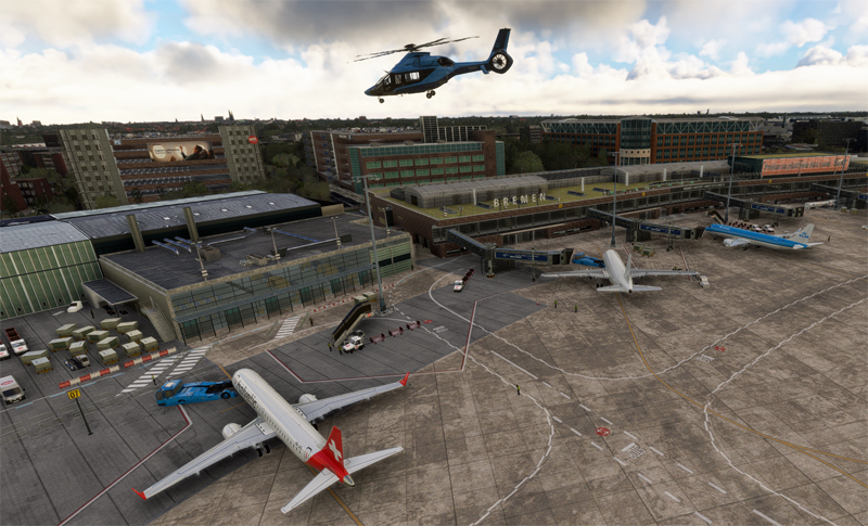
As our sponsor has an unlimited budget, we’ll be flying in an Airbus H160 Luxury helicopter. En route to the destination, we’ll be stopping off at Bremen airport (EDDW).
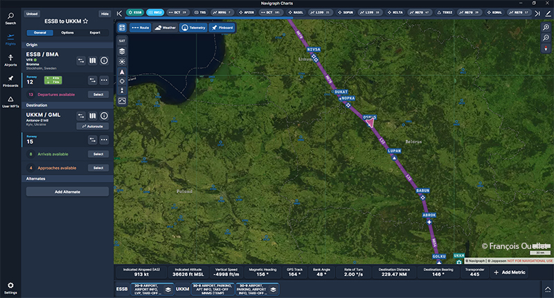
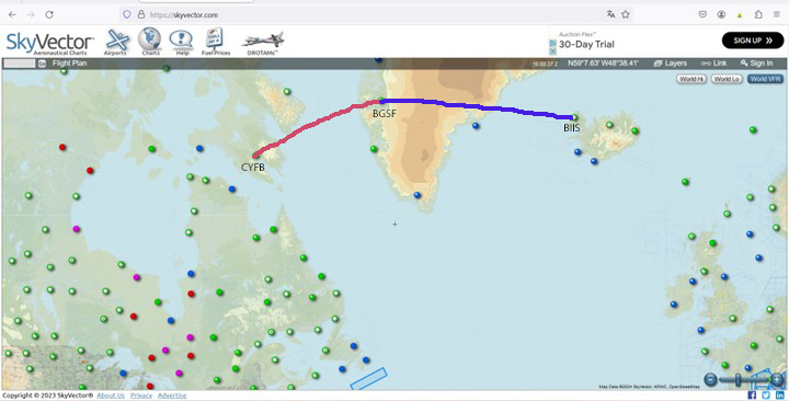
For aviation buffs, the route from Bremen reads: EDDW DCT DO DCT DW271 DCT DW285 DCT WSN DCT NDO DCT EDXH (Helgoland). I use the following software: Navigraph, Simbrief, FSLTL and the MSFS 2020 flight simulator. The flight is carried out in real weather (injected via the Internet).
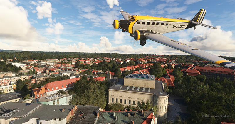
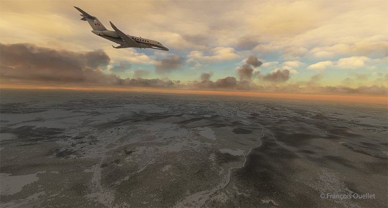
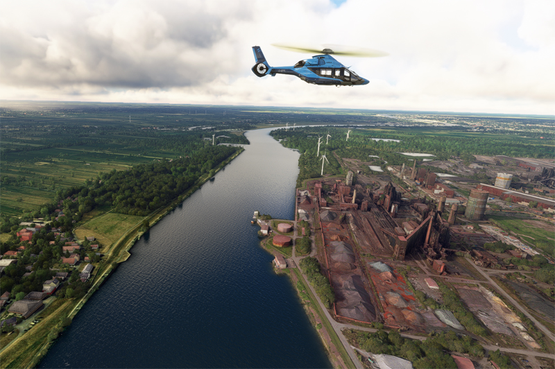
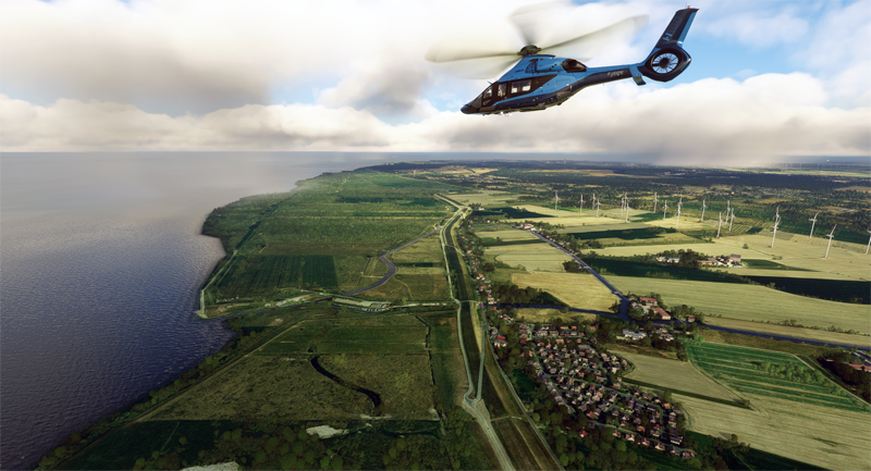
After take-off, we fly over some of Bremen’s industrial facilities.
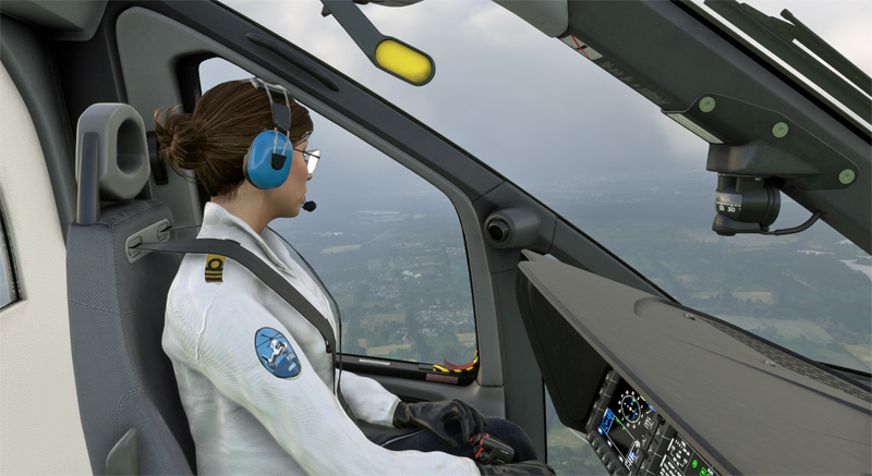
I have a co-pilot to help me with the job when I’m taking photos. I can’t say she’s very chatty, but the main thing is to get to the airport safely.
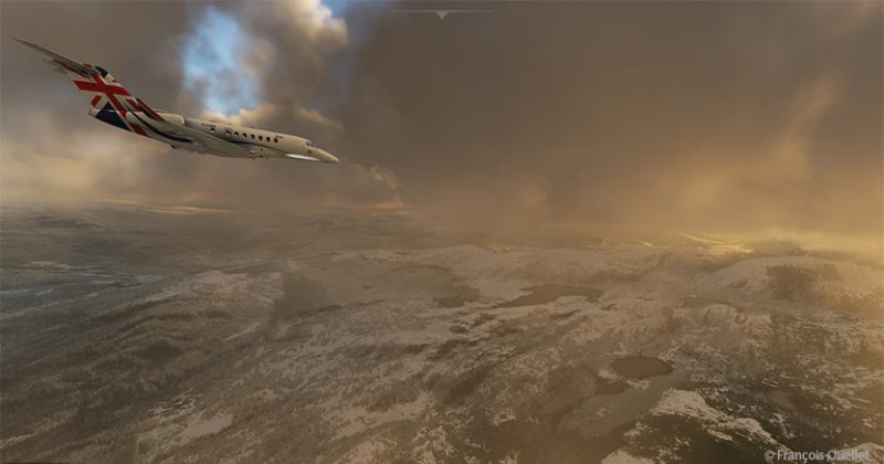
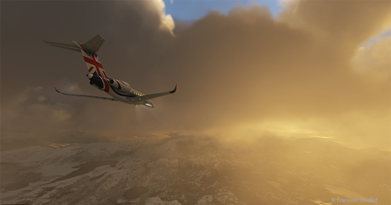
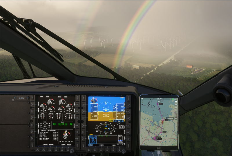
As we approach the North Sea, the coastline is briefly laden with low cloud and visibility diminishes. A few raindrops fall, while a double rainbow forms and a little turbulence is felt.
Precipitation isn’t really a problem, as it doesn’t last long. But with an outside temperature of -5 C, we have to watch out for icing.
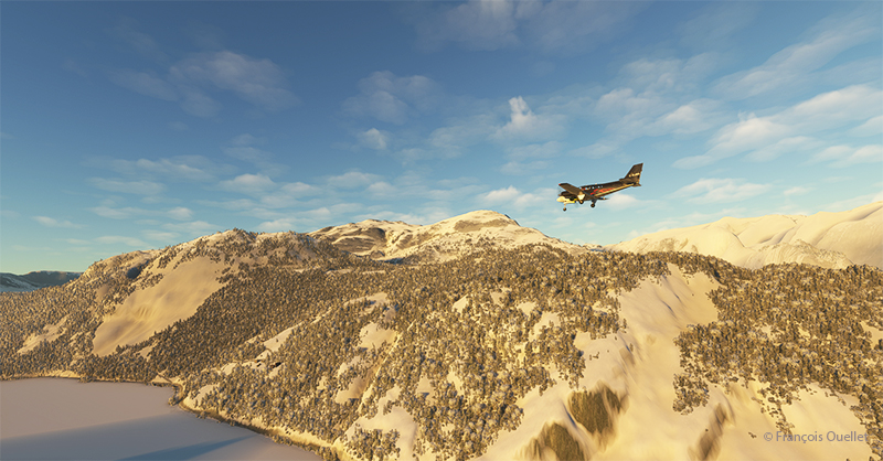
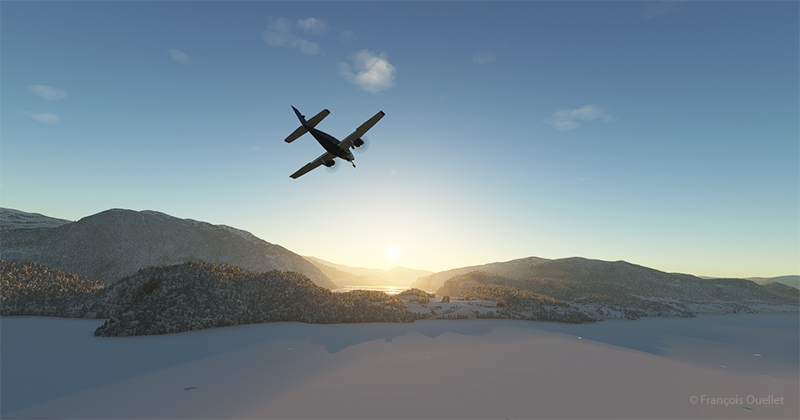
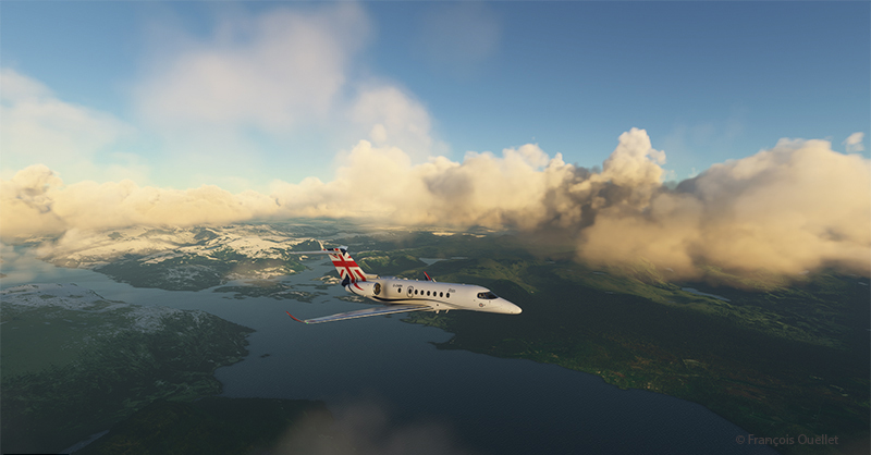
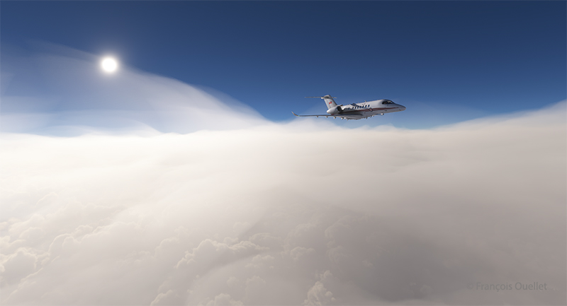
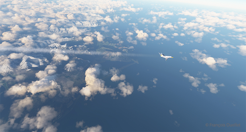
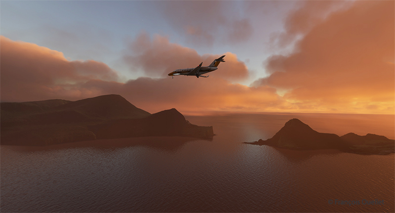
The weather returns to VFR and we head out over the water towards Helgoland.
Helgoland has changed ownership many times over the decades, as a result of armed conflicts. The site has belonged to Great Britain, Denmark and is now part of Germany. It was a strategic military site whose installations were dynamited (and solidly!) by the British at the end of the Second World War.
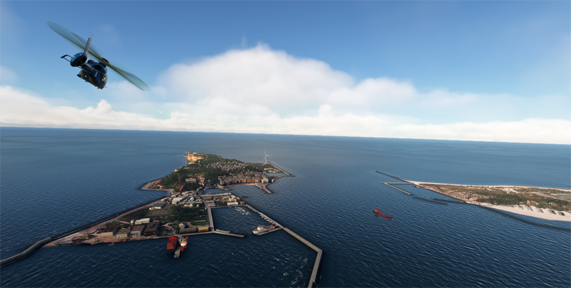
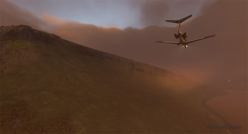
We look out over the cliffs of Helgoland before heading for the destination of our trip, the small island of Düne, in the background in the photo below.

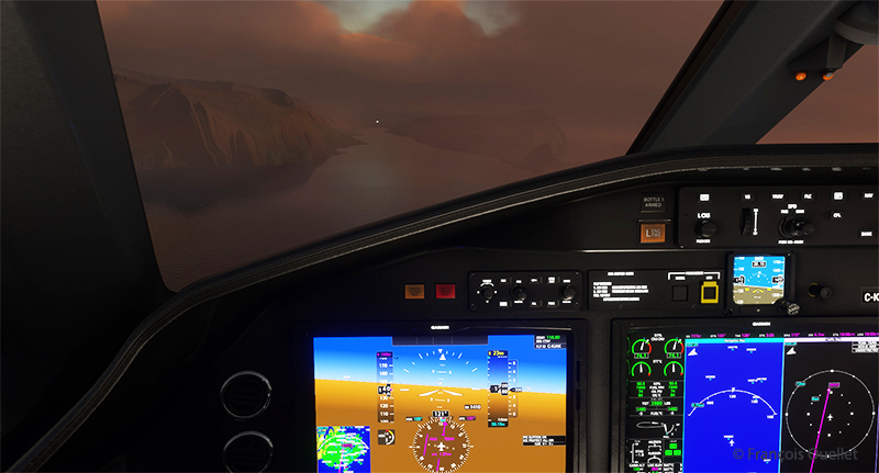
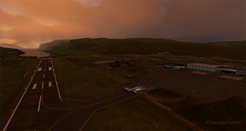
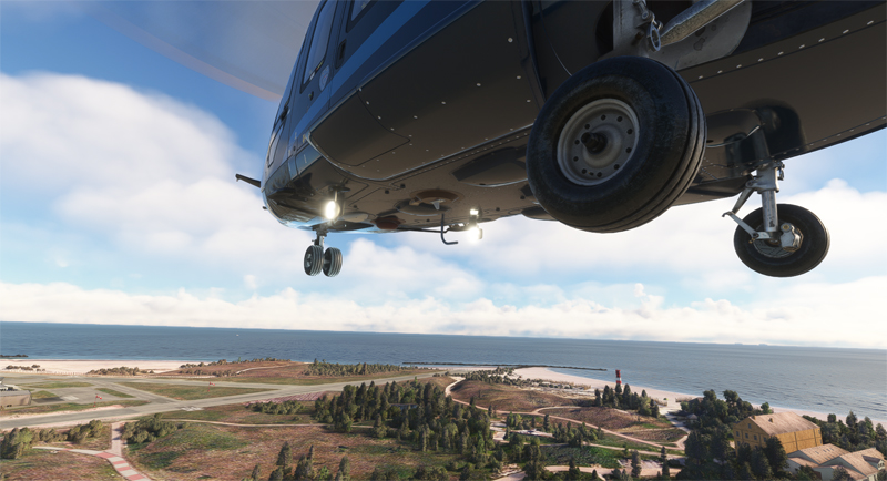
Although not sporty, the landing requires a few precautions due to gusts of 23 knots. On landing, the aircraft floats for a few seconds, behaving like a boat on rough water. But in the end, all goes well.
The next virtual flight will be to an oil platform located in Denmark in the North Sea. For those who’d like to try the landing, the code name is EHFD F3-FB-1A.
Click on the link for more flight simulator flights around the world on my blog.