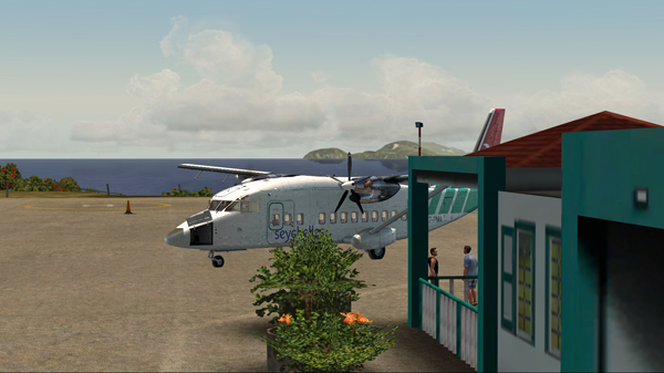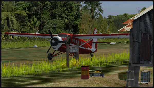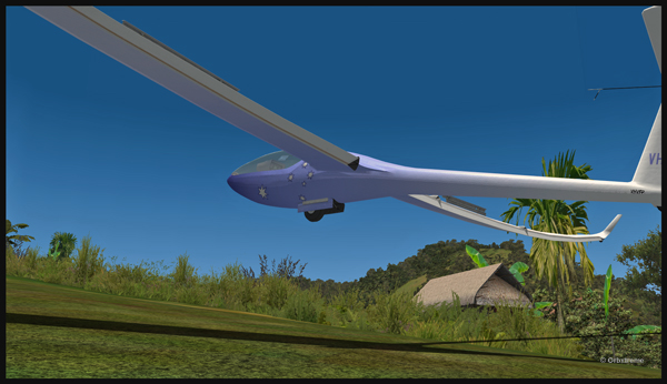
Today’s twenty-minute virtual flight is conducted using Microsoft MSFS 2020 flight simulation software. The virtual airport at Elk River (NC06) in the United States, modeled here by Pilot’s, is located at approximately 3468 feet (ft) above sea level (MSL). Its sloped 12/30 runway can accommodate many types of aircraft as its dimensions are still 4600 feet long by 75 feet wide. A golf course is located near the airport facilities.
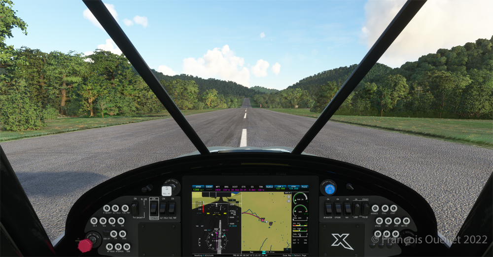
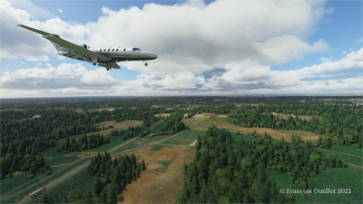
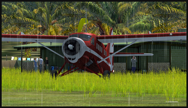
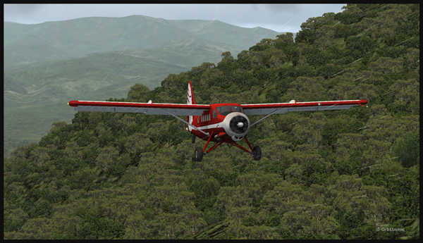
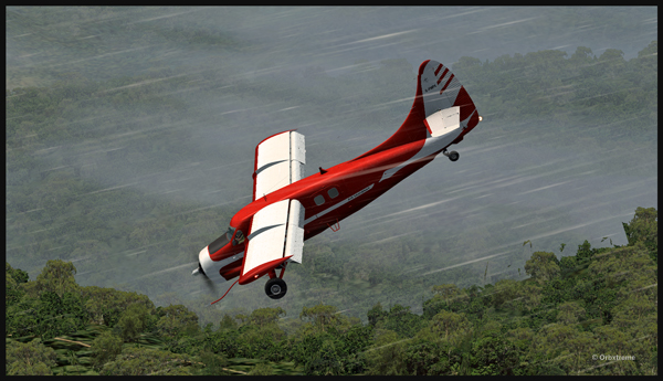
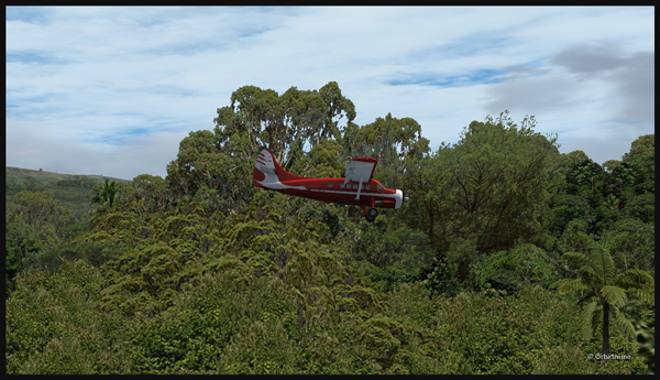
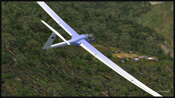
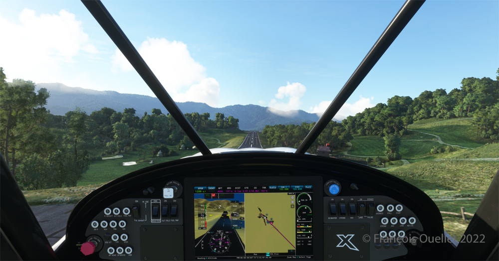
In the distance, the end of runway 30 can be seen rising rapidly. The trip to Mountain Air County Club Airport (2NC0), modeled by Cloud Studio, is made with a single engine Cubcrafters NX Cub.
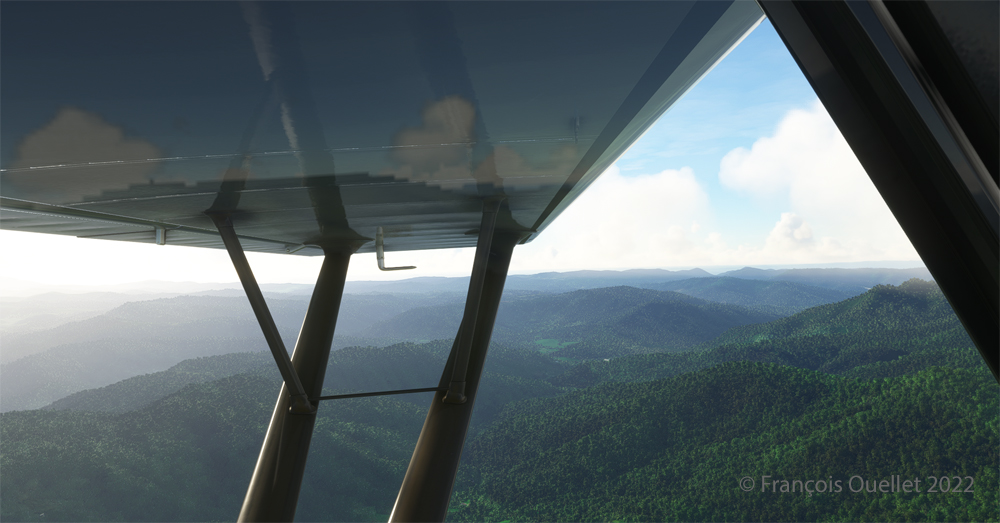
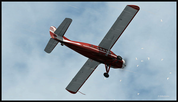
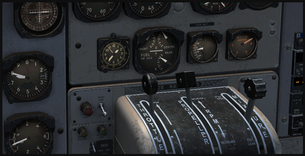
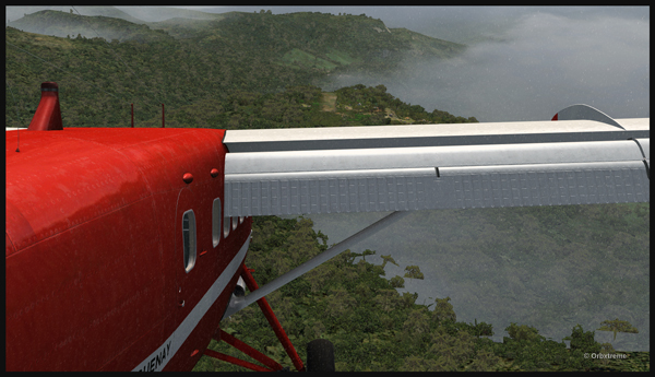
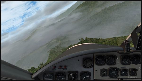
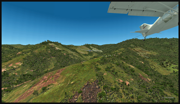
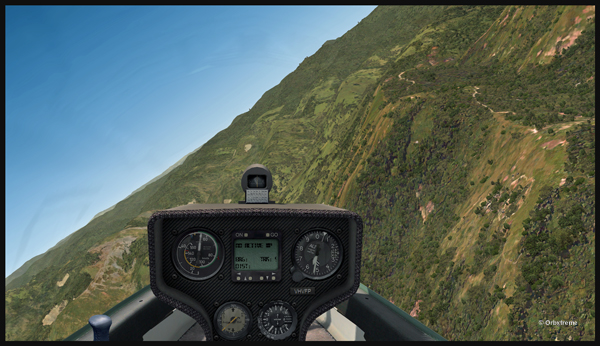
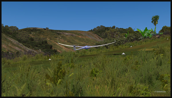
In direct flight with GPS, the virtual pilot will have to climb at around 7000 feet msl to avoid the surrounding mountains. It is therefore important to adjust the air/fuel mixture during climb and descent for the destination. Also, don’t forget to adjust the altimeter (press “B”) as you move away from the point of departure. Near the summits, you will experience mechanical turbulence, which is normal.
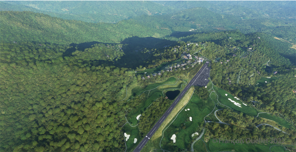
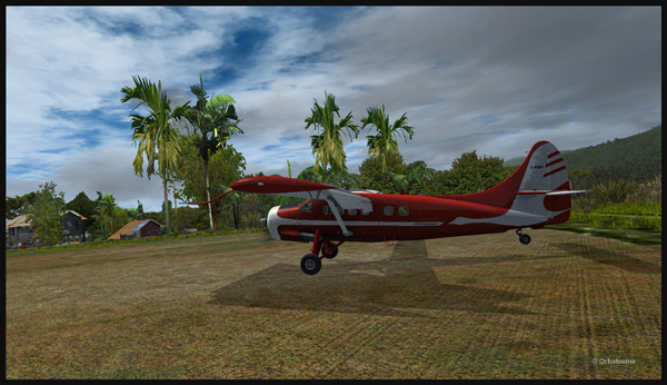
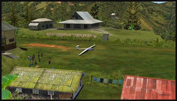
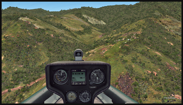
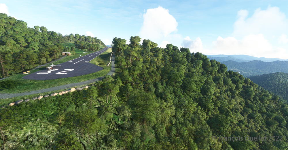
The photo above shows the virtual airport of Mountain Air County Club (2NC0) with the MSFS 2020 flight simulator. The sloped runway is 2900 feet long and only 50 feet wide. A golf course surrounds this airport located at 4432 feet MSL. Since the winds are light, the approach will be on runway 14.
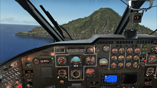
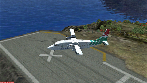
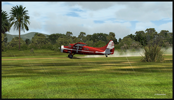
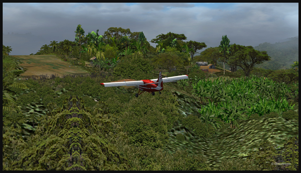
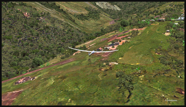
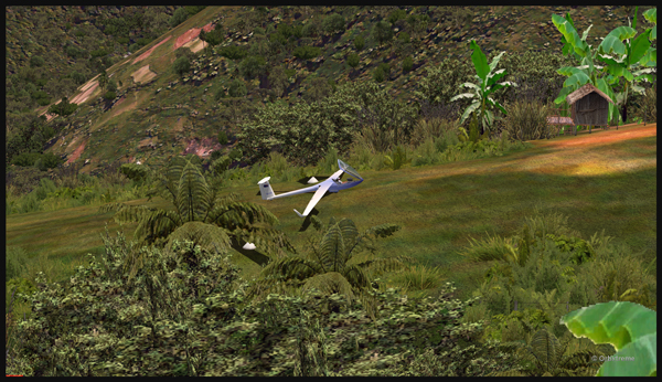
On final approach, it is easy to see the uphill angle of this airstrip, which is slightly more damaged than the one at Elk River.
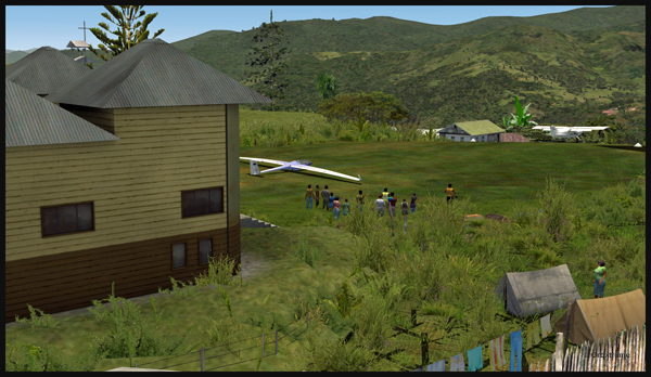
As we continue to taxi to the end of runway 14, we notice the cliff that awaits the pilot who has not properly prepared his landing. No forgiveness!
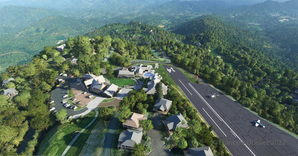
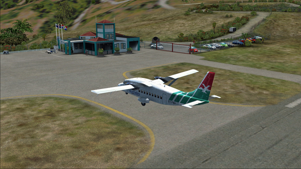
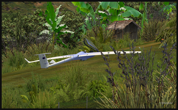
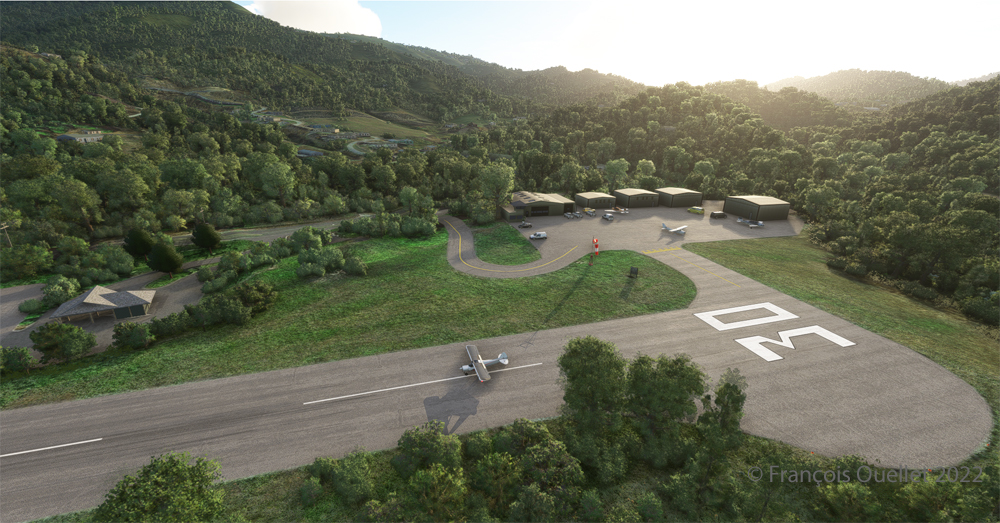
An elevated view shows the threshold of runway 14 and the buildings associated with the golf club. A few golf loving pilots have already parked their aircraft to the left of runway 14. For this screenshot, I used the excellent X-BOX drone.
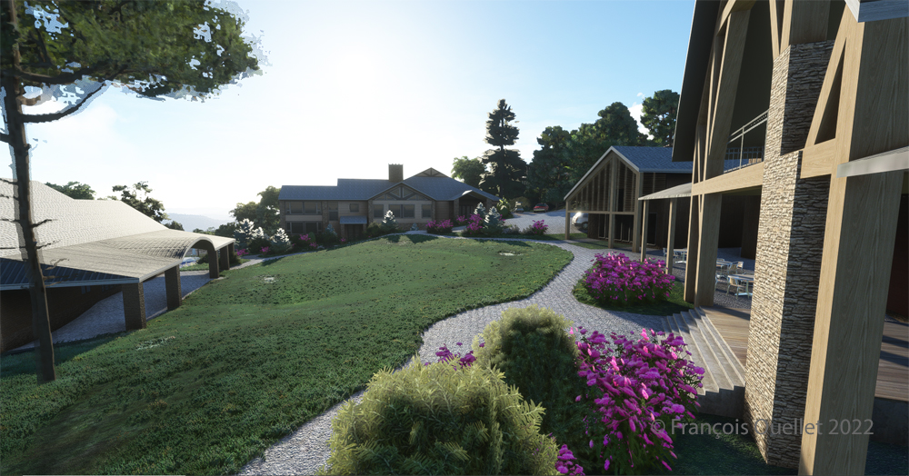
A final photo shows the buildings and flowers associated with the golf club. The bird recordings are easily heard, which enhance the scene. Flight simulation enthusiasts wishing to repeat the experience should do so under VFR conditions to keep an eye on the mountain tops during the approach.
Click on the link for more challenging virtual flights under MSFS 2020 and FSX on my blog.