Categories
Flight Simulation

Around the world in flight simulation (7).

A surprise awaits us as we depart from the Sandane airport (ENSD) for Sweden, Stockholm-Bromma airport (ESSB).
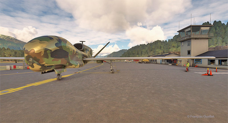
Drone on the ground at Sandane airport (ENSD) in Norway.

A Northrop Grumman RQ-4 Global Hawk drone is at the airport. This long-range surveillance aircraft has an autonomy of around 35 hours and a range of 22779 kilometers. It flies at altitudes of up to 60,000 feet (18288 meters). Its maximum speed is 635 km/h, and each hour of operation costs $24,000.
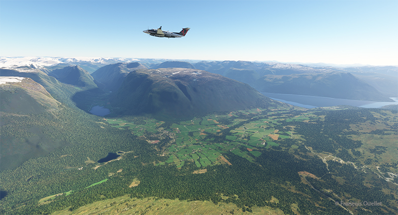
Beech 350I airborne from the Sandane Airport (ENSD) heading to Stockholm-Broma airport (ESSB)

Today, we’re repositioning a twin-engine Beechcraft King Air 350I that hasn’t flown in ages. The usual checks have been carried out to ensure that no birds have nested under the engine cowling. We also checked that there was no condensation water at the bottom of the fuel tanks. Finally, we ran the engines for a long time on the ground. The aircraft takes off from Sandane for a planned altitude of 18,000 feet.
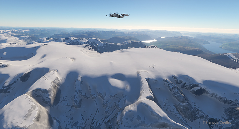
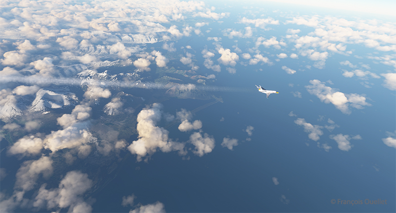
Over Norway snowcapped mountains heading to Sweden in flight simulation.

We fly over the mountains of Norway towards Sweden. Everything goes according to plan.
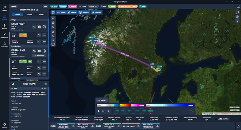
Navigraph chart showing a flight from Sandane (ENSD) to Stockholm-Bromma (ESSB)

The Navigraph map shows the planned route between the two countries.
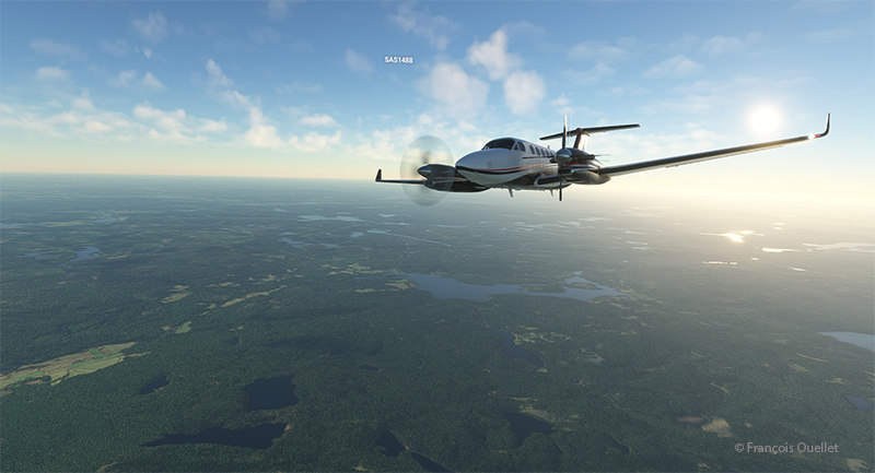
Engine failure on a twin engine aircraft with Microsoft Flight Simulator.

Suddenly, the left engine experiences problems. It stops and the propeller feathers to minimize drag. Since we’re approaching the runway at Stockholm-Bromma airport, we choose to continue on our way, as we benefit from a large airstrip and emergency response services. Now unsure about the reliability of the second engine, we keep a slightly higher altitude than a normal approach would generally dictate.
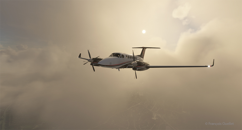
Double engine failure on a twin engine with Microsoft Flight Simulator.

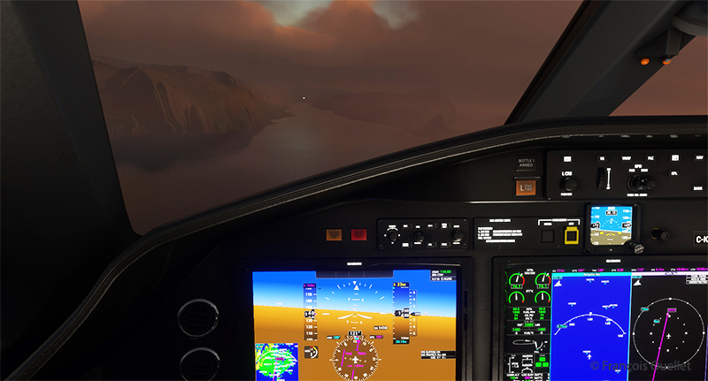
A few minutes later, the second engine stops. The plane becomes a large glider. The clouds prevent a good view of the surrounding area, but we feel our altitude is sufficient to attempt an approach to the airport when the runway is in sight.
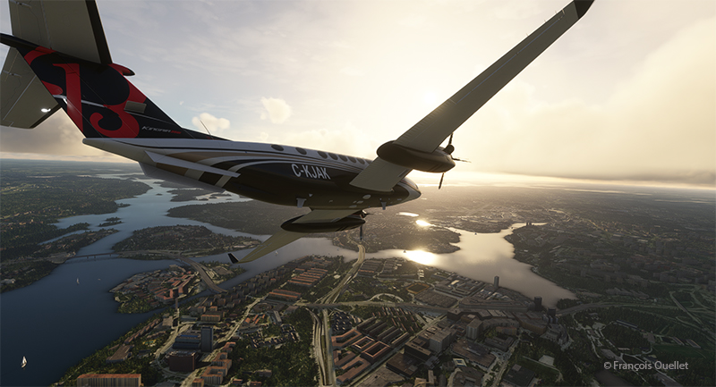
On final for Stockholm-Bromma airport with a double engine failure

The flaps and landing gear will only be extended once we’re established on final and the aircraft is stabilized and certain of reaching the runway. Microsoft’s flight simulator doesn’t allow us to do just anything with an aircraft. If we exceed the aircraft’s structural capabilities when attempting to reach the airport, the flight will stop immediately.
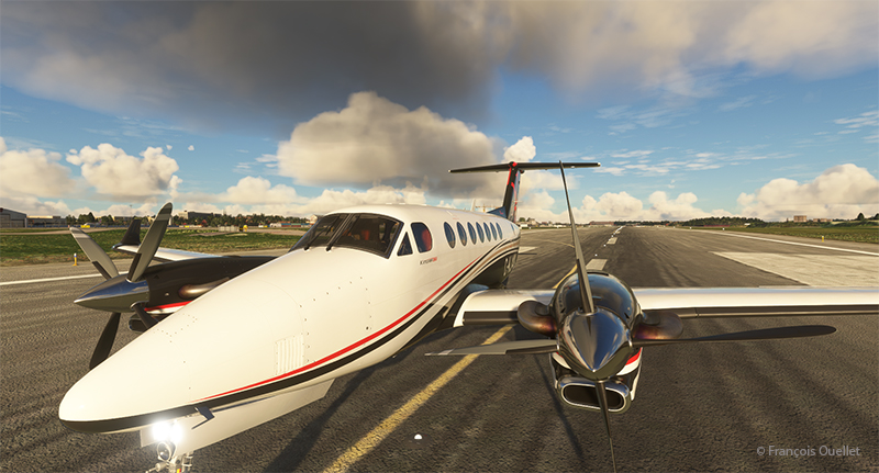
On the ground at Stockholm-Bromma with a double engine failure on a Beechcraft 350I in flight simulation.

The final approach and taxiing caused no problems. The aircraft gradually slows down until it comes to a complete stop on the runway. The poor air traffic controllers now have to apply Plan B to reorganize air traffic around the airport, with the main runway temporarily blocked.
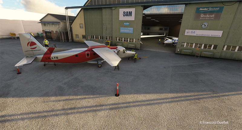
Beechcraft maintenance hangar at the Stockholm-Bromma virtual airport

Fortunately, Beechcraft offers maintenance services at Stockholm-Bromma airport. So, we’ll leave the aircraft for major repairs and find something faster for the next flight to Ukraine. Why not an F-14 Tomcat? It is not in military service anymore and thus its presence in the air should not worry too much.

P.S. This story is based on a real even that happened in Quebec several years ago. An acquaintance of mine (Paul B.) was scheduled to fly from the Val-d’Or airport (CYVO) to Rouyn-Noranda (CYUY) in a light twin-engine aircraft that hadn’t flown in a long time. Halfway between CYVO and CYUY, the first engine failed. The pilot decided to continue. With the runway in sight in the distance, the second engine stopped. The pilot hovered the aircraft and managed to land on route 117, just behind a large truck which accelerated to give way to the aircraft he could see descending in his rear-view mirror. The aircraft landed safely and without damages!

Click on the link for more flight simulator flights around the world on my blog.
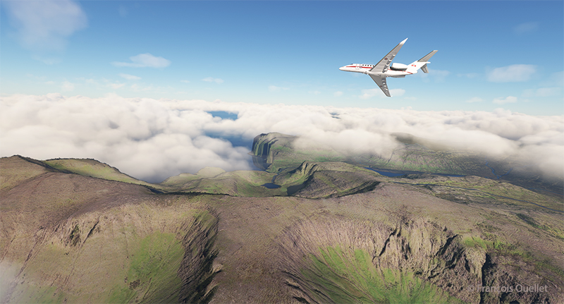
Categories
Flight Simulation

Around the world in flight simulation (4)

Cessna 700 airborne from the virtual Vagar (EKVG) airport in the Faroe Islands with Microsoft Flight Simulator.

The fourth leg of this world tour in flight simulation continues with a trip between Vagar airport (EKVG) in the Faroe Islands (Kingdom of Denmark) and Finland‘s northernmost airport, (EFIV).

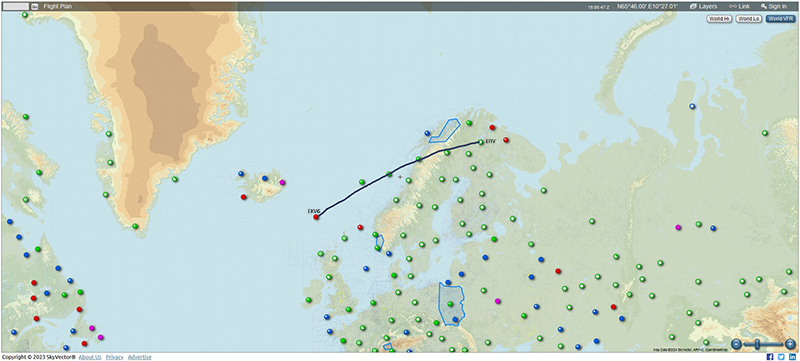
Below is a diagram showing the route, which takes approximately two hours.

From the Vagar airport (EKVG) to the Ivalo airport (EFIV).

I’m using Microsoft Flight Simulator for the trip. The tanks are only 50% full, as we need to limit the aircraft’s weight to allow a safe takeoff on this 5908-foot runway. The aircraft requires a minimum of 4810 feet, to which must be added a strong crosswind component this morning. What’s more, the runway is soggy. If we add too much fuel, we risk ending up in the bay at the end of runway 30.

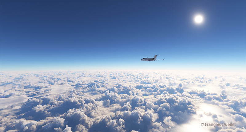
Cessna Longitude enroute to Ivalo (EFIV) Finland in flight simulation.

The virtual Cessna Longitude is now at its planned cruising altitude. Thick clouds cover the coast of Norway, but the weather is much more favorable in northern Finland, where our destination lies.

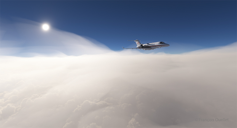
Virtual Cessna 700 starting the descent towards Ivalo (EFIV) Finland.

After waiting as long as possible before starting the descent, to save the remaining fuel, it’s time to descend into the cloud layer for the approach to Ivalo.

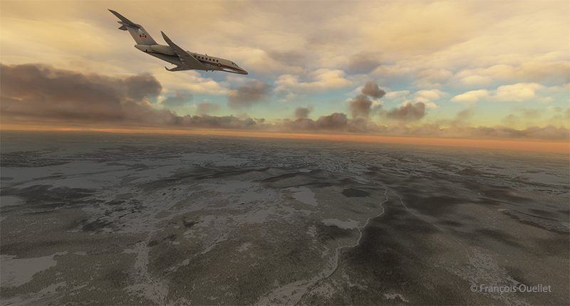
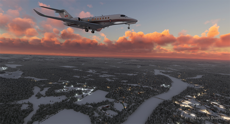
Virtual Cessna Longitude over the frozen northern land of Finland

On the way down to the airport, the aircraft passes through several layers of cloud. Finland, still frozen in March, is clearly visible.

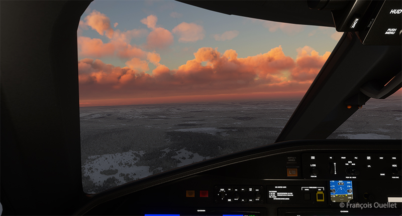
Visual approach to the Ivalo (EFIV) virtual airport in Finland

We have to wait until the last moment to extend the landing gear and flaps to maximize fuel economy. Near the airport, I’m treated to a magnificent spectacle as the sun reaches the horizon.

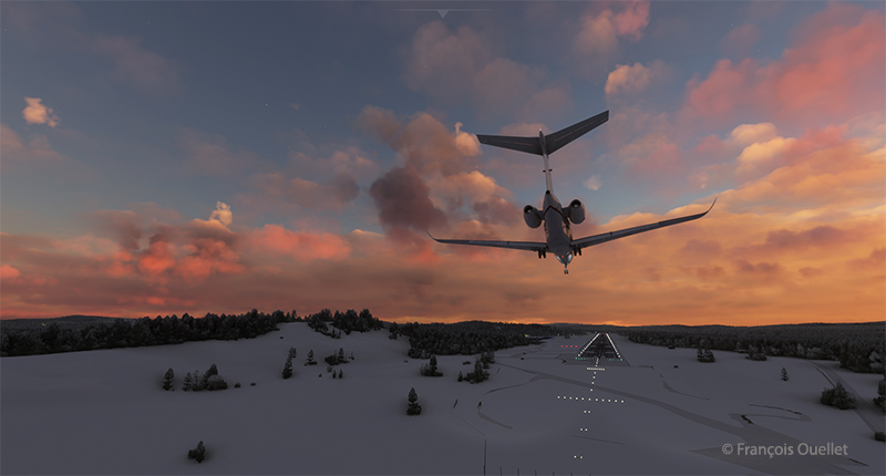
Long final for runway 22 of the Ivalo virtual airport (EFIV) in Finland

Landing gear down. Flaps to follow shortly. An alarm has just gone off in the cockpit to indicate a low fuel level in the tanks. But there’s still around 350 lbs for each engine. On final approach, the view is superb.

Cessna Citation on short final runway 22 for the Ivalo (EFIV) virtual airport in Finland.

Winds are 220 degrees at 7 knots, directly in line with Runway 22. The runway is 8199 x 148 feet. The flaps are down and the approach is smooth.

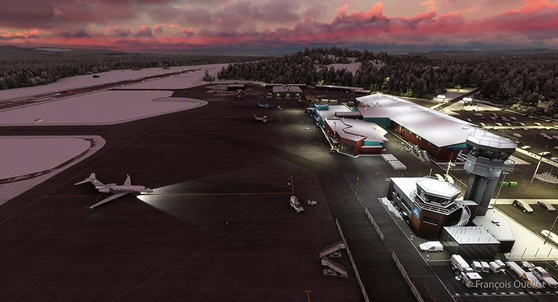
Ivalo (EFIV) the northernmost aiport in Finland with Microsoft Flight Simulator copie

Welcome to Lapland! Ivalo Airport (EFIV) was Finland’s ninth busiest airport in 2024. The region attracts winter sports enthusiasts as well as those keen to observe the Northern Lights.  

Click on the link for more flights around the world in flight simulation on my blog.
Categories
Flight Simulation

Around the world in flight simulation (3)

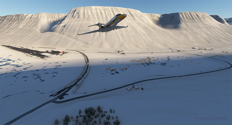
Airborne from the Isafjordur airport (BIIS) In Iceland with Microsoft Flight Simulator.

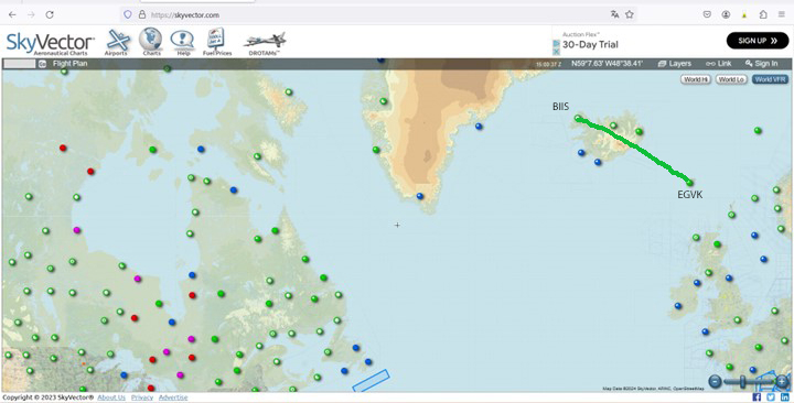
The third leg of the round-the-world flight simulation begins with a departure from Isafjordur (BIIS) in Iceland and ends at Vagar airport (EKVG) in the Faroe Islands, an autonomous archipelago belonging to the Kingdom of Denmark.

The departure from Isafjordur faces a mountain. You can see the shadows on the ground. But as visibility is perfect, this is no problem at all, as long as the rate of climb is sufficient.

Virtual flight BIIS EGVK
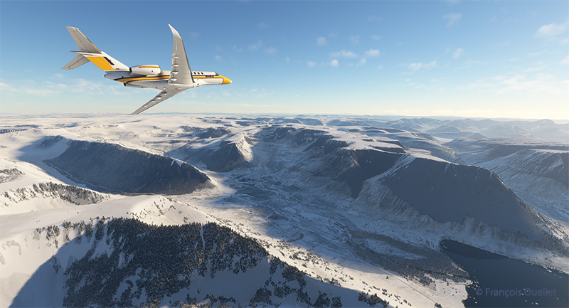
The Cessna Citation Longitude is airborne from the Isafjordur airport (BIIS) in Iceland with Microsoft Flight Simulator.

A left turn over the superb Icelandic landscape establishes the Cessna Citation Longitude on course for the Faroe Islands. The FMS ensures that the aircraft will stay on course. But it’s important to remain vigilant: there’s a lot of other equipment that can cause surprises along the way.

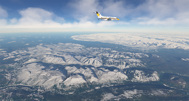
The Cessna Citation is climbing slowly over Iceland.

The climb continues over a magnificent landscape. There’s no turbulence today; if there were, the flight simulator would make sure the plane was harder to control, even for the autopilot. I set the virtual flight to observe real air traffic during the flight, but the route between Iceland and the Faroe Islands is off the most popular routes, so it’s normal not to encounter too many aircrafts.

The Cessna Citation Longitude is heading to the Vagar airport (EKVG) in Feroe Islands

We are now established at our cruising altitude, leaving Iceland’s eastern border to fly over the Atlantic Ocean.

Visual approach for runway 12 at the Vagar airport (EKVG) Feroe Islands

We disconnect the autopilot to give us a free hand on the visual approach to Vagar (EKVG) airport. A small white dot, the lights of runway 12, can be seen straight ahead in the distance.  The landing gear is down, as are the flaps, and the speed has stabilized at around 140 knots for the moment.

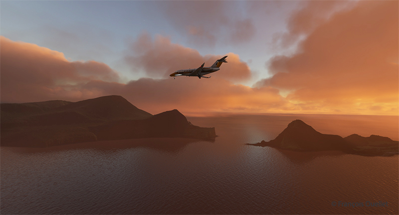
The Cessna Citation is on long final for runway 12 of the Vagar airport (EKVG) Faroe Islands

It’s an ideal time to arrive in the Faroe Islands, with the setting sun coloring all the surrounding clouds.

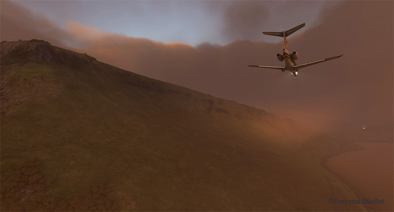
The Citation Longitude on visual approach to runway 12 at the Vagar airport (EKVG)

Runway 12 is visible on the far right in the photo above. The uneven cloud cover sometimes blocks the view of the airport for a few seconds, but the wind quickly blows the clouds away, preventing a missed approach. Virtual weather ensures a constant renewal of weather conditions.

The Cessna Citation exits runway 12 at the Vagar airport (EKVG) in Faroe Islands with Microsoft Flight Simulator

Landing is trouble-free, as the Vagar runway is long enough (5902 x 98 feet) to accommodate such a private jet.

Some 53,000 people lived in the Faroe Islands as of 2021. One of the most popular activities is bird and plant watching. To make it easier for residents and tourists to get around, tunnels have been built between some of the archipelago’s 18 islands.

The fourth leg of the round-the-world virtual flight will take place between Vagar and Ivalo (EFIV) in Finland. This is Finland’s northernmost airport.

Click on the link for more flights around the world in flight simulation on my blog.
Categories
Flight Simulation

Challenging virtual flight in Idaho using MSFS 2020

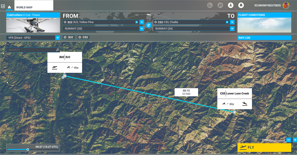
MSFS 2020 map for the flight 3U2 to C53 in United States

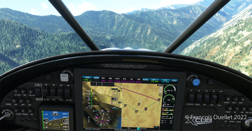
The challenging virtual flight is from Johnson Creek Airport (3U2) to the Lower Loon Creek Airstrip (C53) in the United States, using the MSFS 2020 flight simulator. The software map shows the type of aircraft chosen, a CubCrafters X Cub on floats, as well as the trajectory over the Idaho mountains.

The idea of using an amphibious aircraft for this flight is a bit far-fetched, but the goal is to make the pilot’s job a little more difficult by adding weight to the aircraft.

Johnson Creek (Yellow Pine) airport 3U2 with MSFS 2020

Johnson Creek Airport (3U2) is a creation of Creative Mesh. It is charming, with tents here and there planted near the planes. The runway is 3480 feet long by 150 feet wide. It is oriented on a 17/35 axis and still quite high at 4960 feet above sea level (MSL).

Amphibian CubCrafters X Cub ready for departure at the Johnson Creek 3U2 virtual airport with MSFS 2020.

Given the departure altitude, one must not forget to adjust the air/fuel mixture so as not to lose power on takeoff, especially since there is a mountain at the end of the runway and the floats increase the weight of this small aircraft. The air is also thinner as the flight takes place in summer and at a high altitude; this represents another obstacle to the aircraft’s performance.

Avoiding obstacles after take-off from the 3U2 Johnson Creek virtual airport using MSFS 2020.

The mountains near the runway present a significant obstacle. The virtual pilot must use the best possible angle of climb without worrying about the route recommended by the GPS. The flaps are kept slightly extended during the initial climb.

Flying over the Idaho mountains in flight simulation with MSFS 2020.

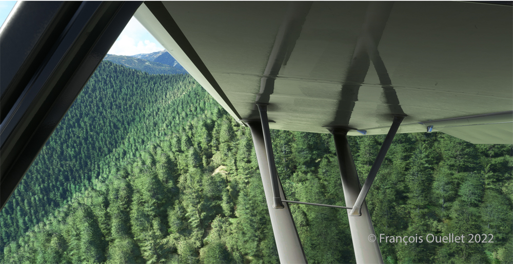
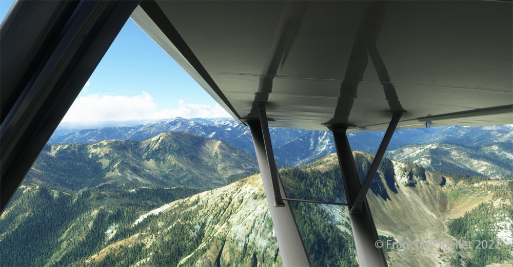
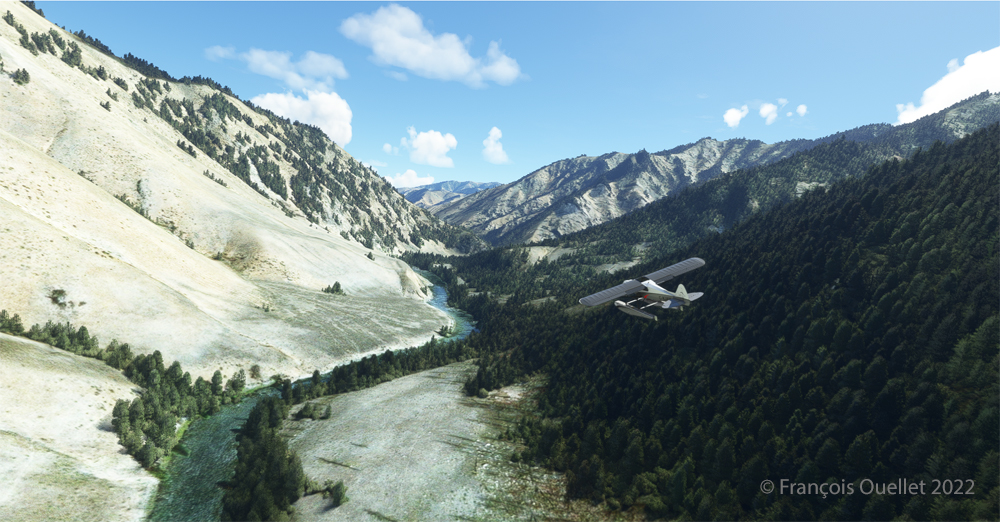
Once at a safe altitude and back on the GPS suggested route, the view of Idaho’s spectacular mountains is more enjoyable. Throughout the climb, the air-fuel mixture and altimeter (“B” on MSFS 2020) have to be adjusted.

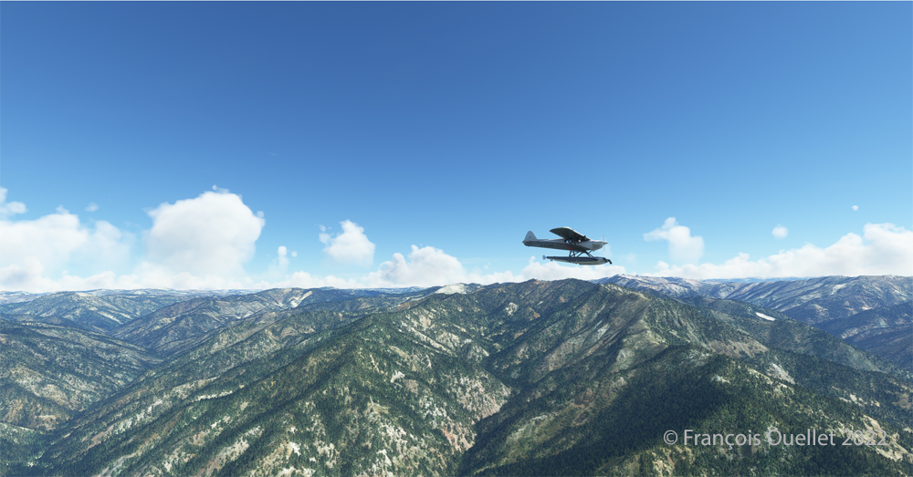
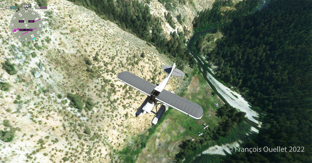
CubCrafters X Cub floatplane over the Idaho mountains in flight simulation MSFS 2020

An altitude of almost 10,000 feet ASL makes it possible to fly over the mountains without risk of collision.

Descending in the valley towards the ID8 Marble Creek airport in Idaho in fligh simulation.

At the right moment, when the small surrounding airports and the river appear on the GPS, we leave our GPS road, until now in straight line, and we align in the valley to fly over the river until our destination, avoiding the surrounding mountains. In the photo above, the descent has already begun, with a necessary gradual adjustment of the air-fuel mixture.

Flying over the (ID8) Marble Creek airport in Idaho using the MSFS 2020 flight simulator.

We fly over a first small airport. The picture above shows the planes parked on the runway of Marble Creek airport (ID8), which dimension is 1160 x 20 feet. For those which would be interested in trying a landing there, the orientation of the runway is 03/21 and the altitude of 4662 feet MSL.

Flying over the 2U8 Thomas Creek Airport in Idaho using the MSFS 2020 flight simulator.

On the way towards our final destination, we also fly at low altitude over the Thomas Creek (2U8).

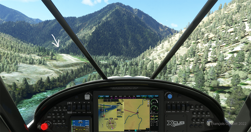
Following the river towards the C53 Lower Loon Creek airstrip using the MSFS 2020 flight simulator.

The mountains on either side of the river require close attention, as the poor performance of a small aircraft equipped with floats does not allow for easy correction of navigational errors.

By the time the runway suddenly becomes visible, the plane will not be on course but 90 degrees off the ideal course. It will be necessary to quickly turn left into the valley, make a fairly sharp 180-degree turn to the right to avoid the mountains, and then get back on course to land. It is only at this point that the landing gear will be extended.

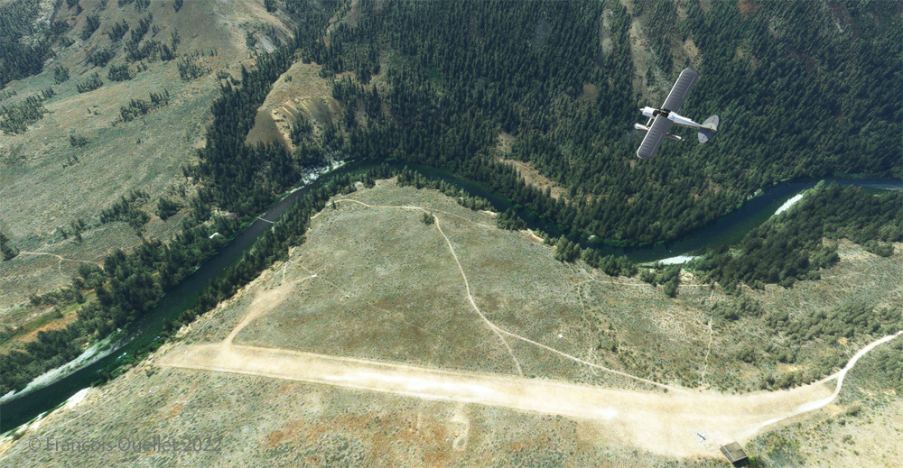
On final for Lower Loon Creek airstrip with MSFS 2020

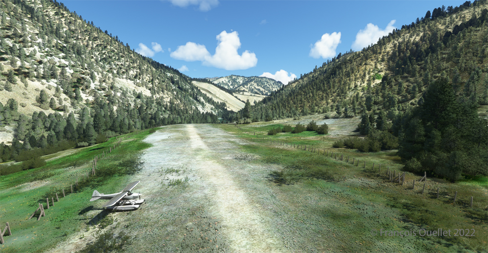
The photo above shows the aircraft on final for the Lower Loon Creek dirt and grass runway (C53). It is located at 4084 feet MSL and is only 1200 feet long by 25 feet wide. Note that the approach should be made on runway 16 when possible.

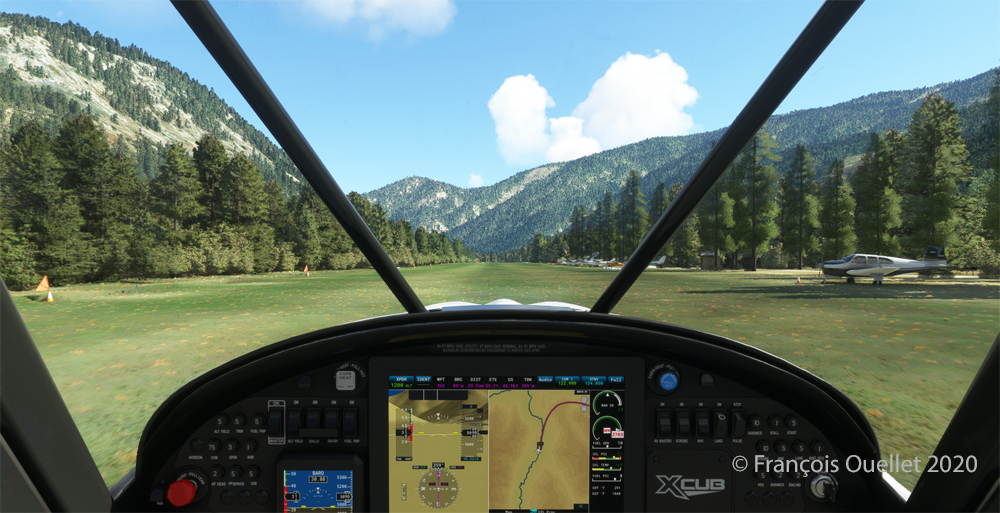
Amphibian CubCrafters X Cub rolling down the C53 Lower Loon Creek airstrip in Idaho after landing.

As always, a stabilized aircraft on final makes landing easier, regardless of the conditions.

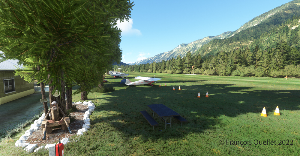
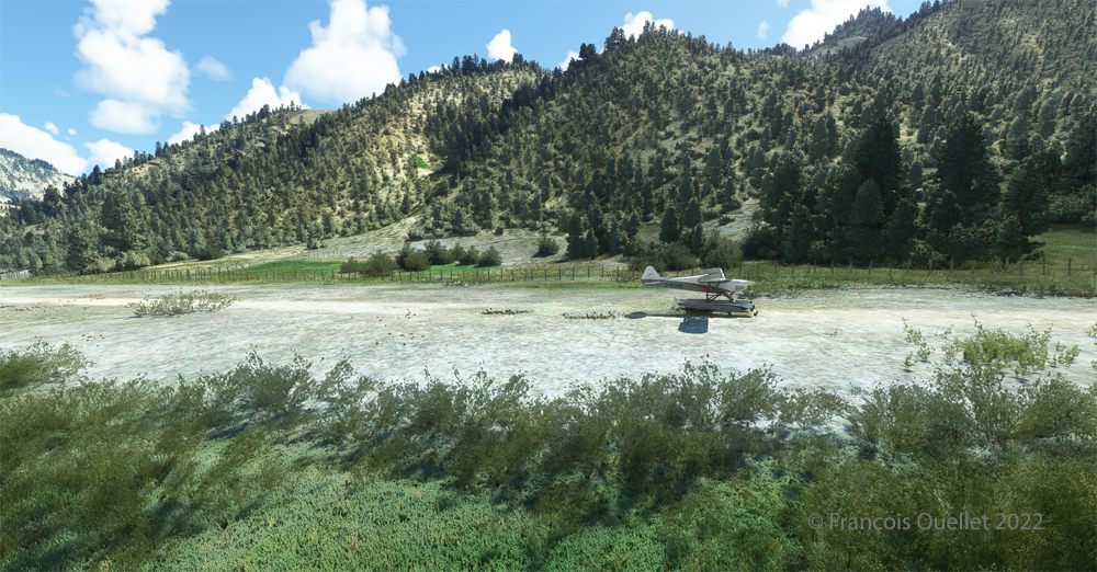
Amphibian CubCrafters X Cub parked at the C53 Lower Loon Creek airstrip using MSFS 2020 flight simulator.

We park the plane and rest a bit. Today, there is no one else here. But that’s not always the case in real life, as this video of a landing at Lower Loon Creek shows it.

Click on the link for more challenging virtual flights on my blog.
Categories
Flight Simulation Screen captures

A few Microsoft Flight Simulator 2020 screenshots.

Below are a few Microsoft Flight Simulator 2020 (MFS 2020) screen captures taken during virtual flights.

Le Mont St-Michel en France, sous MFS 2020.

Mont St-Michel is a very nice addition to the France virtual scenery provided by MFS 2020. Such great sites can be found in many places in the Microsoft Flight Simulator 2020 program, but many more are also available for free through the flight simulation community : they can then be downloaded and installed in MFS 2020, thus ever improving the overall experience.

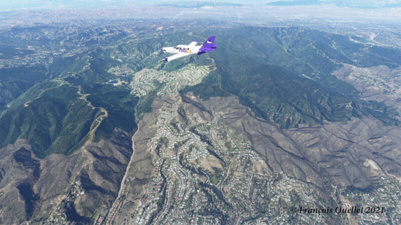
Heading to KLAX from KBUR with a TBM 930 on the flight simulator MFS 2020.

The haze is quite present in the Los Angeles area and adds to the realism in the screenshot above. The FedEx livery comes from « Liveries Mega Pack Manager ».

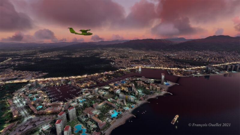
Puerto Vallarta with MFS 2020 and improved scenery by John Lovell

The Icon A5 Kingfisher is seen flying along the Puerto Vallarta coast in Mexico. The scenery was hugely improved by John Lovell and is available through Flightsim.to. But it will require 5 GiG on your hard disk!

The Burbank Bob Hope (KBUR) modelized by Orbx on the flight simulator MFS 2020.

The picture above shows a small part of the Burbank Bob Hope airport (KBUR) modelized by Orbx. The screen capture was taken with the X-Box drone. This drone is a fantastic addition to what is now available to flight simulation enthousiasts when comes the time to bring back souvenirs from a flight.

Heading to Iqaluit with the flight simulator MFS 2020.

Enroute to Iqaluit (CYFB), the jet just got out of the cloud deck and some rime icing is still visible on the nose and the wing’s leading edge. That evening, there was a sigmet reporting high level turbulence and it is exactly what I experienced during the flight, using REX Weather Force 2020 as a weather engine.

I’ll be back with more flight simulation screen captures soon. Meanwhile, have a good virtual flight!

Click on the following link for virtual flight simulation pictures on my blog.
Categories
Flight Simulation

List of the Orbx freeware and payware airports. March 27th 2020 edition.

I have reviewed and edited my list of the Orbx freeware and payware airports, with runway description and airport elevation. It includes most airports that were created as of March 27th, 2020.

I have added many airports based on what Orbx has released since last year on its “OrbxDirect Release Announcements” section. I have also corrected some mistakes that I noted on my list. Every new virtual airport for X-Plane, P3DV4, AFS2 and FSX has been added to this list.

Payware airports often come with secondary, smaller virtual
airports included in their package. I reviewed several payware airports and added those smaller airports with their runway description and elevation.

I use the list to plan my virtual flights and find possible challenging situations. The list might not be perfect but it is certainly good enough to be enjoyed by most flight simulation enthusiasts.

You have access to a free download PDF file on my website. Just click on the following secured link.

Have fun!

Categories
Flight Simulation

Complete edition of the orbx freeware and payware virtual airport list.

The complete edition of the Orbx freeware and payware virtual airports, dated June 09 2019, is in the downloadable file below. The runway details and airport elevation is included. It will be updated regularly.

The information in the PDF file is in colour. The airports in black are part of the global pack freewares. The airports in green are freewares that are not part of the global packs. The airports in blue are payware airports.

When a runway is in orange, it means that the length of the runway is 2000 ft or below, and/or the width is 60 ft or below. The water aerodrome are defined by the word “water” in blue. Finally, the elevation of the airport is in red at the end of the runway details.

Complete list of freeware and payware airports with runway description

Categories
Flight Simulation

Fourth edition of the Orbx freeware and payware virtual airport list.

The fourth edition of the Orbx freeware and payware virtual airports, dated June 02 2019 is in the downloadable file below. The list of airports is complete. I still have to add runway details to several airports.

The information in the PDF file is in colour. The airports in black are part of the global pack freewares. The airports in green are freewares that are not part of the global packs. The airports in blue are payware airports.

When a runway is in orange, it means that the length of the runway is 2000 ft or below, and/or the width is 60 ft or below. The water aerodrome are defined by the word “water” in blue. Finally, the elevation of the airport is in red at the end of the runway details.

Fourth edition of the Orbx freeware and payware airport list.

Categories
Flight Simulation

Third update of the orbx freeware and payware virtual airport list.

The third edition of the Orbx freeware and payware virtual airports, dated May 26 2019 is in the downloadable file below. The list is not completed yet, but there is constant progress.

The information in the PDF file is in colour. The airport in black is part of the global pack freeware. The airport in green is a freeware that is not part of the global pack. The airport in blue is a payware airport.

When a runway is in orange, it means that the length of the runway is 2000 ft or below, and/or the width is 60 ft or below. The water aerodrome are defined by the word “water” in blue. Finally, the elevation of the airport is in red at the end of the runway details.

Third edition of the Orbx freeware and payware airport list. (2)

Categories
Flight Simulation

freeware and payware list of orbx virtual airports.

My second edition of the Orbx freeware and payware virtual airports, dated May 19 2019 is in the downloadable file below (the link in green). The list is not completed yet.

The information in the PDF file is in colour. The airport in black is part of the global pack freeware. The airport in green is a freeware that is not part of the global pack. The airport in blue is a payware airport.

When a runway is in orange, it means that the length of the runway is 2000 ft or below, and/or the width is 60 ft or below. The water aerodrome are defined by the word “water” in blue. Finally, the elevation of the airport is in red at the end of the runway details.

Second edition of the Orbx freeware and payware airports.