Categories
Flight Simulation

The Dornier DO X in flight simulation.

Dornier DO X stops its engines on a Swiss lake with Microsoft's flight simulator
Dornier DO X stops its engines on a Swiss lake with Microsoft’s flight simulator

Microsoft has made the famous German Dornier DO X seaplane available to flight simulation enthusiasts. Designed in 1929 by Claude Dornier, this seaplane far surpassed anything else on the market at the time, in terms of weight, length and power.
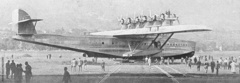
Flyingboat Dornier DO X.

Unfortunately, the Germans couldn’t make a commercial success of it, as the aircraft was really too heavy to cover long distances at high altitude in an economical way. What’s more, bad experiences were piling up during the various stopovers: the left-wing canvas caught fire in Portugal, there was some problems with tropical weather, the tail was torn off during a poorly-planned ditching in Passau. What remains of the empennage after the accident can now be seen in the Dornier Museum in Friedrichshafen.

The Germans built the three DO X models at Altenheim, on the Swiss side of Lake Constance, to get round the restrictions imposed by the Treaty of Versailles.
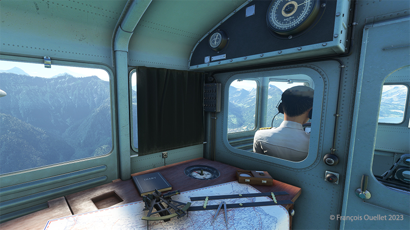
Inside the flyingboat Dornier DO X with Microsoft flight simulator

One crew member was in charge of controlling and monitoring the engines. He obeyed the captain’s instructions.

Dornier DO X engine control

Dornier DO X engine control
Dornier DO X engine room with Microsoft flight simulator

The layout of the engines caused headaches for the mechanics. Six propellers pulled the aircraft forward, while another six pushed the DO X. The engines driving the rear propellers received less air than those in front of the aircraft. This led to cooling problems, which reduced reliability on long-distance flights.
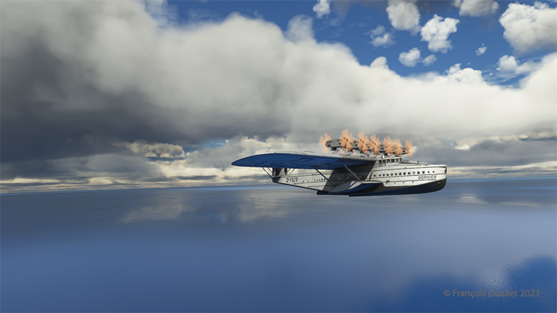
Dornier DO-X flyingboat over the Atlantic ocean with MSFS 2020 flight simulator.

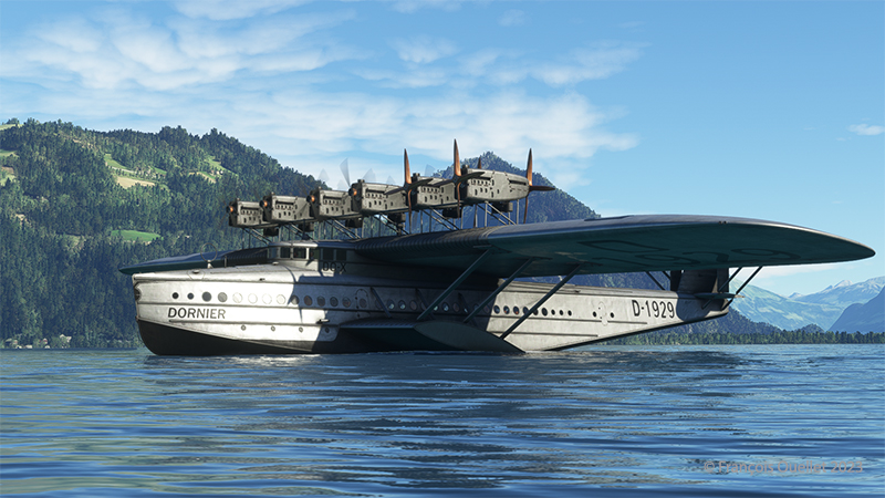
The seaplane made its first test flight from Lake Constance (Bodensee)  in 1929. Below, a screenshot of the flight near Lake Brienz in Switzerland.
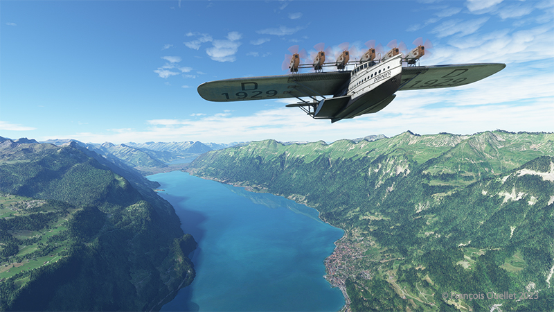
Dornier DO X flyingboat over Lake Brienz in Switzerland with Microsoft flight simulator.

On its international routes, the DO X made stopovers in several European countries, Africa, South America, Miami, New York and Newfoundland. At the time, Newfoundland was not yet part of Canada. Newfoundlanders issued a stamp to commemorate the plane’s passage through Hollyrod. Naturally, those who kept a copy of the stamp have seen its value rise sharply over the years.

trans-atlantic-west-to-east-per-dornier-do-x-may-1932-air-mail-newfoundland-stamp

This legendary seaplane is still admired by aviation enthusiasts today. It’s available as a glue-on model, a desktop model and even as a remote-controlled model.

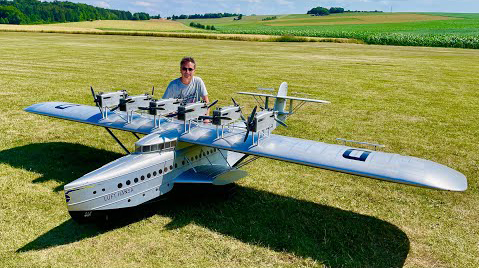
The Dornier DO X 1929 desktop flyingboat.
Small-scale radiocontrolled Dornier DO-X

Click on the link for flight simulation articles on my blog.
Categories
Flight Simulation

Virtual flight with the MSFS 2020 flight simulator.

Taking of from Rivière des Mille-Îles near Marina Venise

Today’s flight is part of my blog’s standard virtual flight category. The take-off is from the Mille-Îles River in Quebec. There will be a touch and go at Mirabel (CYMX) and a flight over Quebec and Ontario to the Cascades hydrobase (CTY3).

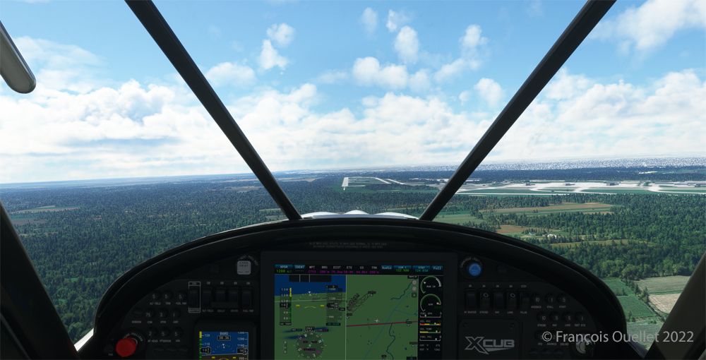
Towards the Mirabel international airport (CYMX) with the MSFS 2020 flight simulator.

Flying at low altitude towards Mirabel airport, for a touch and go.

The Mirabel (CYMX) runway is in sight.

One of the CYMX runways can be seen straight ahead. If a virtual pilot does not find the runway long enough to do a touch and go, then a refresher course is in order.

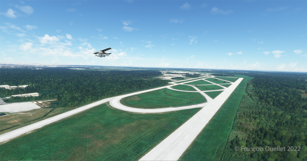
Touch and go at the Mirabel airport with MSFS 2020

Takeoff from Mirabel. This is the advantage of an amphibious aircraft; you can land anywhere.

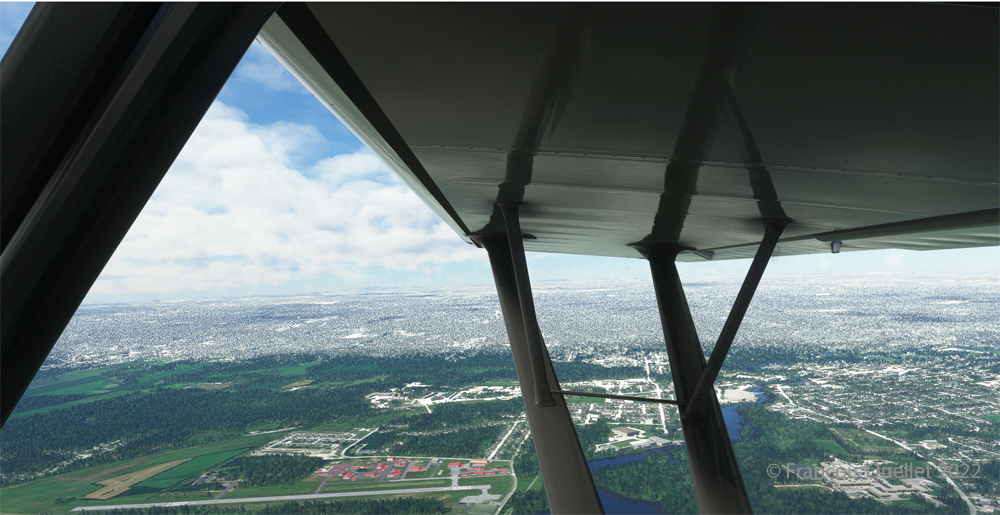
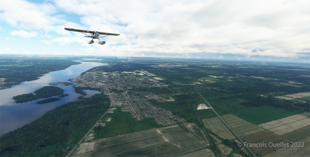
The virtual weather shows the difference between the snow in the north and the green vegetation in the south.

The Lachute airport (CSE4) is visible (buildings in red in the foreground). Flying in April in Quebec allows to notice the demarcation between the still white landscapes (the snow persists) in the north and the areas where everything has already melted.

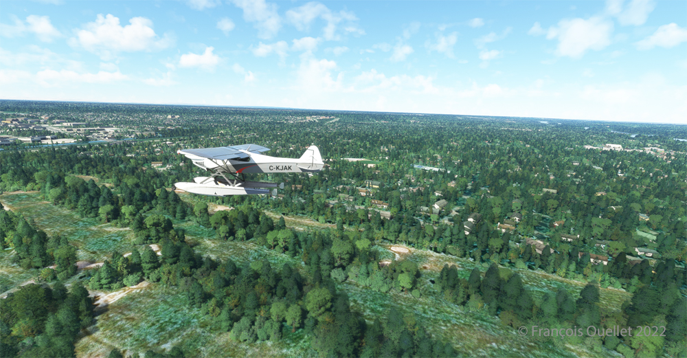
Over Hawksbury, Ontario, with the MSFS 2020 flight simulator.

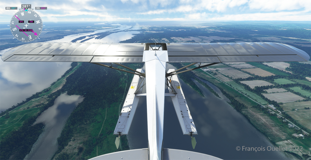
The flight continues to the Cascades waterbase (CTY3). The Ottawa River separates Quebec from Ontario. The aircraft is currently over the town of , Ontario, with Hamilton Island on the left.

Realism of the flight simulation under MSFS 2020

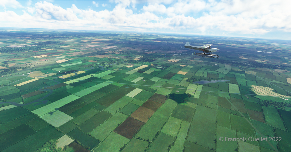
The screenshot above shows the very realistic effect of the virtual landscape, both in terms of the virtual weather, the multiple color tones of the ground and the shading on the ground and on the aircraft caused by the breaks between the clouds.

Overflying the Plaisance National Park in Quebec with MSFS 2020

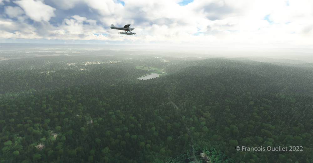
Above Parc national Plaisance, a Quebec property.

Visibilty lowers slightly near Gatineau (CYND)

Descending for 1500 feet. Near Gatineau, the weather conditions deteriorate slightly. But it will be short-lived.

Turning towards the Gatineau river with the MSFS 2020 flight simulator.

Right turn for a water landing on the Gatineau River. The destination is in sight.

Water landing of the Gatineau river near the Wakefield hydrobase (CTY3)

The plane progresses slowly towards the hydrobase.

Aerial view of the Wakefield hydrobase (CTY3) with MSFS 2020

There is not yet a virtual waterbase worthy of the name for Cascades under Microsoft. At low altitude, the virtual pilot notes that he is only flying over a photo with aircraft footprints. An aerial view shows the CTY3 hydrobase.

Those who wish to repeat the experience will find the ride quite interesting.

Click on the link for more standard virtual flights on my blog.

Categories
Flight Simulation

Virtual flight around Key West with MSFS 2020

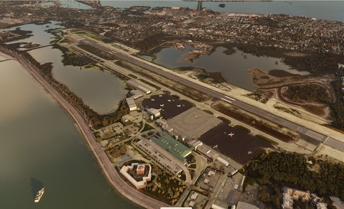
The Key West (KEYW) virtual airport by FSDreamteam for the MSFS 2020 flight simulator.

This is the Key West Airport (KEYW) in Florida, as reproduced for flight simulation by FSDreamteam for the Microsoft MSFS2020 flight simulator.

There is a clear advantage to acquiring this virtual airport rather than using the MSFS2020 airport. Indeed, the FSDreamteam KEYW airport doesn’t come alone: the company offers two other sites in accompaniment and for the same price: Fort Jefferson and the Loggerhead lighthouse.

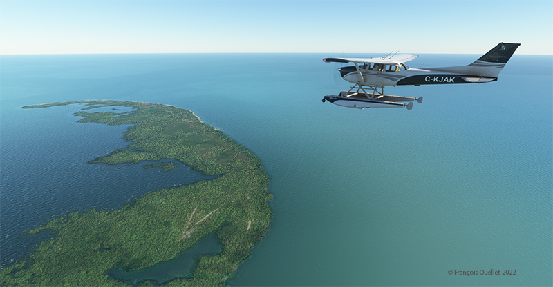
A small virtual flight with a Cessna C-172 on floats allows you to fly over these sites and land on the water when appropriate.

Airborne from Key West KEYW with the MSFS 2020 flight simulator.

The Cessna takes off from Key West under ideal weather conditions.

Part of the Key West Wildlife National Refuge using MSFS 2020

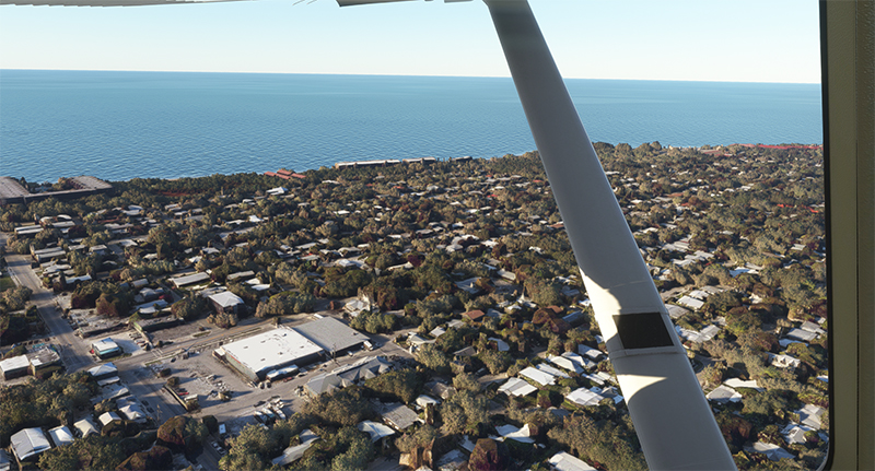
Shortly after takeoff and established at 3000 feet, we fly over the Key West National Wildlife Refuge.

Descending towards Fort Jefferson with MSFS 2020

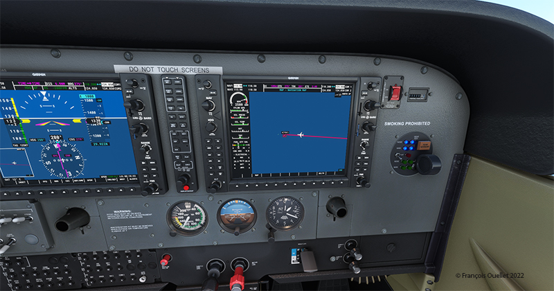
The Garmin G-1000 allows a stable flight during screen captures.

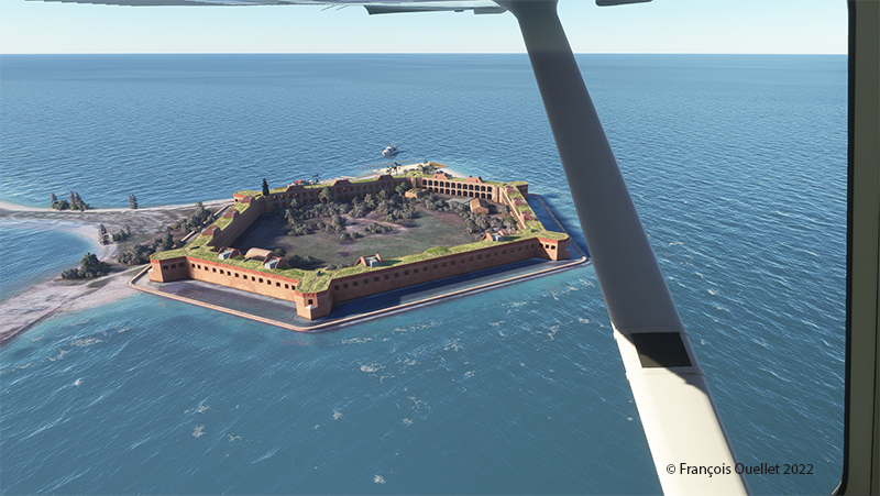
Flying over Fort Jefferson in Key West with MSFS 2020.

This is Fort Jefferson photographed as the Cessna flies at about 1500 feet ASL. The winds have increased slightly and foam is becoming visible on the waves.

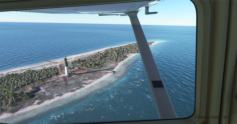
Flying over Loggerhead Lighthouse in Key West using thge MSFS 2020 flight simulator.

A little further along the flight path is the Loggerhead Lighthouse. The beach is beautiful and gently sloping. It will be possible to do a water landing, put the landing gear down while on the water and then park on the beach.

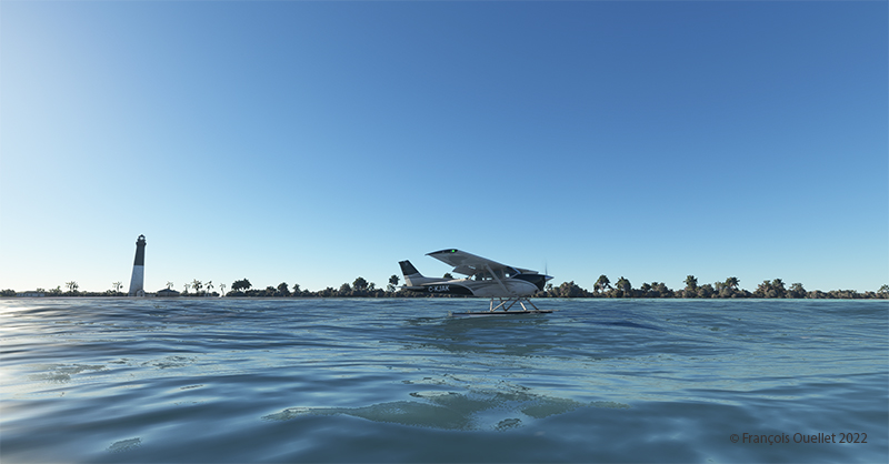
Making a sea-landing by Loggerhead Lighthouse in Key West, with MSFS 2020.

The landing is done without too much difficulty.

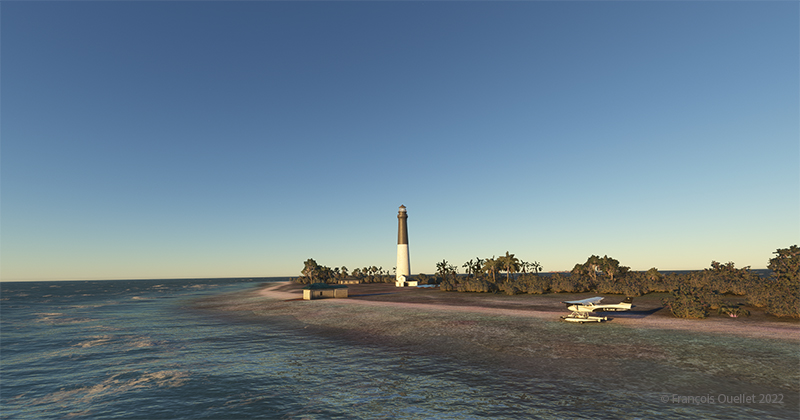
On the beach at Loggerhead Lighthouse, in Florida, using MSFS 2020.

With a little engine power, it is possible to get out of the water and park on the beach for a while. After turning off the engine, the MSFS2020 flight simulator allows the pilot to listen to the sound of the waves and wind in a realistic way. If there are birds in the area, it will also be possible to hear them.

For those who want to repeat the experience, it is only a matter of programming the starting point in MSFS2020 as KEYW and the destination KYW1 (Fort Jefferson). Once through Fort Jefferson, continue straight for a few minutes and you’ll arrive at the Loggerhead Lighthouse. Take a few moments to relax and listen to the waves before taking off again…!

Click on the link for more standard virtual flights on my blog using either MSFS2020 or FSX.