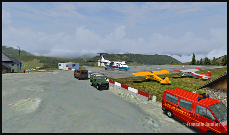
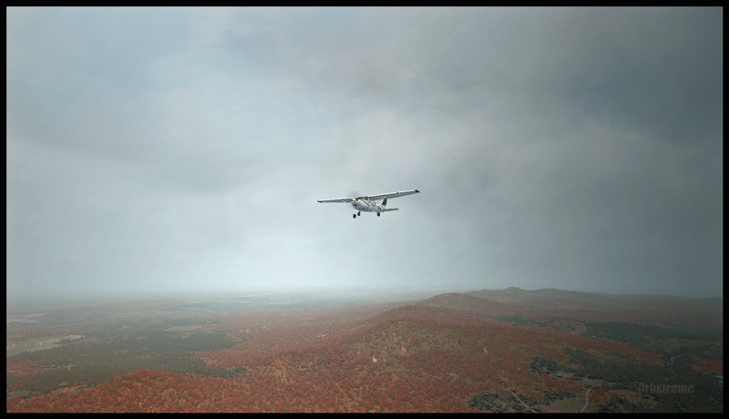
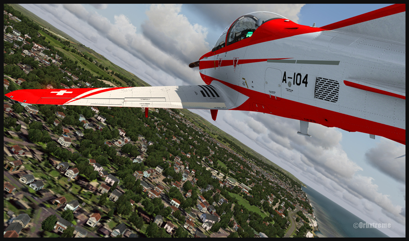
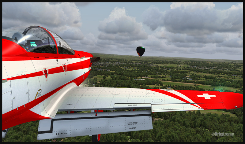
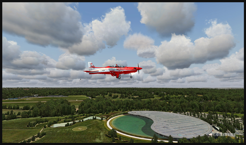
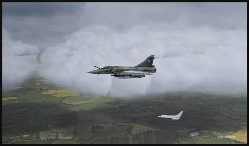
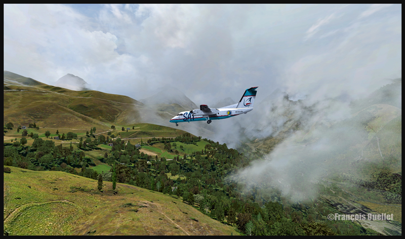
In order to celebrate autumnal colors, here is a screen capture of an A2A Simulations C182T Skylane airborne from the Parry Sound (CNK4) airport in Ontario, Canada.
The airport was created by Vlad Maly, for ORBX. FSGRW was the weather engine used to follow the actual weather around Georgian Bay. REX Texture Direct was used for the cloud textures.
The screen capture of this virtual flight was slightly retouched by means of a photo software in order to add a bit more intensity to the autumnal scene.
For more articles on flight simulation on my web site, click on the following link : Flight simulation
The screen capture above, titled “Icefield in sight”, represents a virtual flight using the FSX platform. A combination of FSGRW and REX has been used to improve the cloud effects.
As the basic FSX program does not offer a very realistic representation of clouds, it is necessary to get better cloud sets from a third party provider. In the present screen capture, the clouds are a creation of REX, through their Texture Direct and Soft Clouds used in combination.
It is one thing to have access to realistic clouds but you also need a good weather engine. This engine will download real-weather data and, if you wish, will update it every few minutes when you fly.
Many weather engines are available. In the above picture, I used FSGRW (PILOT’S version 1.7, build 29).
To represent the mountains and the icefield, ORBX creations like SAK, Vector and Open LC Canada-Alaska were used. The DC-3 livery is available as a free download from major sites like FlightSim.com or AVSIM .
Last point: when you take a screen capture, it is possible to use a photo editing software (there are many good ones on the market) to slightly improve a particular aspect of the picture. It takes very little effort to learn how to use few basic functions that will enhance your captures.
For more articles on flight simulation on my web site, click on the following link : Flight simulation
The IRIS Pilatus PC-21 Pro Training Series is a high performance aircraft. It is equipped with a five blade graphite propeller as well as a Pratt-Whitney PT6A-68B engine able to develop 1600 SHP. Until the PC-21 was created, there were only jet aircrafts that could provide such performance when it comes to pilot training. The PC-21’s maximum airspeed is 370 knots, its service ceiling 38,000 feet and it can climb at a rate of 4000 feet/minute.
The above sequence of pictures represents a familiarization flight with that aircraft, before trying to attempt to land in Fairoaks. I have included this flight under the “flight simulation” section of the site, under “standard virtual flights”.
The takeoff was done from Southampton and the route included Shoreham, Gatwick, Heathrow to finally end in Fairoaks. Along the route, different exercises were practiced like slow flight, inverted flight and other manoeuvers that allowed to learn the behavior of the machine under all kind of configurations.
IRIS created that virtual Pilatus. ORBX is responsible for the Southampton, Shoreham and Fairoaks virtual airports, as well as sceneries generated by their well known Global, Vector, Open LC and Trees HD products. FSX was used for the flight. Clouds were generated by REX and CumulusX. For an even more realistic experience, UK2000 virtual airports like London Gatwick and London Heathrow could have been used since they are of excellent quality.
Beware of the approach in Fairoaks. There are trees near the threshold of the runway and the landing surface is relatively short, measuring only 813m (2667 feet). Flying an aircraft equipped with such a powerful engine and whose stall speed approximates 150 kmh with flaps and gear down will require much attention on the approach. It will be the difference between a successful landing or having your name in the first page of Fairoaks local newspaper the next day.
For other ideas of virtual flights that do not require a lot of experience, click on the following link: Standard virtual flights
For more articles on flight simulation on my web site, click on the following link : Flight simulation
The most recent creation from Metal2Mesh is a real stunner, graphically and when it comes to simulating the real aircraft. In the above picture, the Mirage 2000C is in flight over England and carries virtual armaments designed by VRSimulations (Tac Pack). The Rafale is visible in the background and was automatically generated by the computer (AI). The clouds are a combination of REX and CumulusX, for the shadows on the ground. ORBX is responsible for generating a virtual England.
Reading a minimum is necessary before you learn how to select and install the weapons, something I did not do since I was a bit too eager to do a flight test with that superb aircraft. I had to start over, but it really comes quickly and the manual provides you with clear instructions. You will need a small free program (available on page 9 of the manual, and created by Peter Dowson) in order to see the speed, altitude, etc, directly on the HUD.
For more articles on flight simulation on my web site, click on the following link : Flight simulation
Here are some screen captures taken shortly after I bought FlyTampa Toronto. I am using FSX for those pictures.
In order to increase the virtual flight realism, the CumulusX program was used, in addition with REX, a software that generates clouds. Cumulus X is mostly used by virtual gliding enthousiasts but one of its strong side is that it creates shadows on the ground, like in the picture above.
FlyTampa is the company which, up to now, has done the best work representing virtually the Toronto international airport (CYYZ). There are high quality 3D objects, moving people, smoke that comes out of the surrounding buildings. Even the roof’s fan blades can be activated through a control panel that allows the modification of settings according to the configuration of your computer. Three seasons are modelized in order to enhance the virtual flight experience.
For more articles on flight simulation on my web site, click on the following link : Flight simulation
Using ORBX Global program, I took this FSX screen capture of the Graf Zeppelin over Germany. The cloud effects are derived from REX and the Zeppelin itself was found on flightsim.com and it is a free software. For a better atmosphere, if you decide to take a screen capture, fly the Zeppelin either during the morning or at dusk while there is still enough light, and so that the sun will strike the balloon from the side.
Few videos are available on YouTube to show you how to deal with the Zeppelin. It’s not enough to apply full throttle and hope that it will rise because it will not. You first have to take care of the ballasts. But within only few minutes of watching the videos and applying the correct manoeuvers, I promise that you will be airborne and then the rest will come pretty naturally.
The picture was slightly edited with Photoshop to add some constrasts to the screen capture.
Flight simulation allows the use of all company liveries and types of aircraft. In the present case, a DHC-8-227Q from Sat Airlines, with the Sakhalin Energy logo, has mysteriously found itself inbound for the Peyresourde mountain airfield.
Peyresourde Balestas is located in the Pyrenees, at an altitude of 1580 meters. Its runway is only 335 meters long and has a 15 degree slope. The beginning of the James Bond movie “Tomorrow never dies” has been filmed there. The runway is long enough to accommodate the DHC-8-227Q as the plane’s excellent braking capacity is even improved by the sloped runway. If you touch early enough, you won’t even have to apply full braking power.
A Dash 7, with its superb ability to operate from any kind of field, would also fit in there, providing the amount of fuel and cargo is well calculated. Because what lands must also takeoff.
The Peyresourde Balestas mountain airfield is made by LLH Créations, from France. The company has already produced four mountain airfields located in the French Alps. This is the first one in the Pyrenees.
Virtualcol FS Software created the Dash-8 used for this flight. For a very reasonable price, that company offers, in one bundle, an astonishing amount of liveries and all the types of DHC-8. Their product is detailed enough and really takes lower end computers into account when it comes to FPS (frames per second). Don’t expect the same realism as with the Q400 from Majestic Software though: Majestic’s Q400 is on a category by itself in the sim world and the price is adjusted accordingly.
The fun will not be over after you land. You will find that the takeoff is quite spectacular. Apply the brakes, full power and the necessary amount of flaps and let it go! You’ll see that the runway’s end is coming quickly and that you’re building speed like you never believed possible with a Dash 8!
Your passengers will certainly remember that mountain airfield. So will you!
If you want more ideas of flights that would test your nerves, just head to the “challenging virtual flight” section of this website.
For more articles on flight simulation on my web site, click on the following link : Flight simulation
I’ve just added a new VFR flight in the “flight simulation” section, under “standard virtual flights”. An Alabeo WACO takes off from Cushman Meadows, heads south-east towards the Skokomish Reservation, then flies over the Bremerton airport to the north-east and ends up landing at the Bear Gulch aerodrome, just in time for a BBQ. This was done using FSX. The first part of the cross country is for a starting virtual pilot but the last part requires a bit more experience.
It is a more demanding experience than what is normally found in the “standard flights” section, since it involves a final landing at Bear Gulch. The runway at that airport is only 1411 ft long, and quite narrow. So you have to plan your approach carefully. A little wooden bridge is part of the runway! Since the flight is done in nice VFR conditions and does not involve engine failures or using a really fast aircraft arriving on a short runway, I decided that the “standard virtual flights” section was more appropriate. Still, it is not an easy approach.
Cushman Meadows (KCMW) and the Bear Gulch (WA38) runways do not exist in real life but am I ever glad Bill Womack took the time to create them. His site can be found under Iblueyonder. The screen captures show both airports and the PNW region sold by ORBX. If you want nice shadows on the ground while not using P3D, just get CumulusX and set the season to summer, with scattered clouds in mid afternoon.
Some guests have already arrived in Bear Gulch. You will see the smoke rising from the BBQ being prepared while you are on short final. The guests will certainly be taking pictures of your approach, as you are flying a vintage aircraft. So, if there was ever a time to do things correctly, now it is!
For more articles on flight simulation on my web site, click on the following link : Flight simulation
In the « flight simulation » section, under « challenging virtual flights », you will soon find screen captures representing the DG-808S glider built by DG Flugzeugbau. The flight departed from the Parry Sound airport (CNK4) in Ontario. The scenery has been created by Vlad Maly, from ORBX.
The command CTRL+SHFT+Y will allow an aircraft to appear and a cable to be installed between the aircraft and the glider. It is more demanding to do gliding operations in the Parry Sound region because if the pilot gets far enough from the airport, he leaves behing many options to help him land easily in case of difficulties. There are not many fields or roads. There are mostly lakes and forests. The view is interesting, but you fly with the feeling that there is really no plan B. If the glider must go down, chances are it will find itself either in water or on the top of trees.
The DG-808S can reach a speed up to 146 kT and has a gliding ratio of 5o :1. It is a high performance glider. It can carry up to 343 pounds of water to be used as ballast. In real life, the pilot uses the necessary amount of water according to the prevailing weather conditions. If there are weak thermals, the glider will easily operate without water. If there are strong thermals, it carries the maximum amount of water in its wings to add sufficient weight.
The flight was made using CumulusX and FSX. On final for runway 35, you will have the opportunity to fly at low altitude over Robert’s Lake and admire all the small details created to make the scenery more realistic.
For more articles on flight simulation on my web site, click on the following link : Flight simulation
In the “flight simulation” section, under “challenging virtual flights”, I have added screen captures (also visible here for now) that show a flight that can be quite demanding and which consists of doing a VFR ride with an helicopter between two helipads situated high in the Alps. The flight is made using FSX. In real weather conditions, the winds can really complicate things when you are on short final for your destination.
For this exercice, the ALABEO R66 has been chosen. You could add another degree of difficulty by using a DODOSIM helicopter. The helipads are made by LLH Créations. The virtual flight that you can see in the screen captures set above shows a takeoff from the Refuge du Requin sur la Mer de glace (DZRR), which is at an altitude of 2510 meters, towards the Refuge de l’Argentière (DZRA), located at 2778 meters MSL. Two other mountain chalets could have been chosen: Chamonix (DZ des Bois , DZDB), at 1075 meters, and Promontoire (DZPR), near the Alpe d’Huez mountain airfield and Grenoble airport, at 3055 mètres in the mountains.
Before doing a flight, you can select one of the following three options: winter, summer and photographic scenery. The documents provided help you out with the best settings as to the autogen, the complexity, the resolution, etc.
I am convinced that you will enjoy the experience. By using real weather, each flight becomes an adventure. With moderate winds, on an approach to the Refuge de l’Argentière, you will realize that there is not much margin of manoeuver!
Have a good flight!
For more articles on flight simulation on my web site, click on the following link : Flight simulation