Flying over the Eastern Townships in Quebec under MVFR always represents a problem due to the terrain. Here is a screen capture of a flight from the Quebec international airport to the Sherbrooke airport, to show what a virtual flight looks like during autumn. The terrain has been modelized by Orbx.
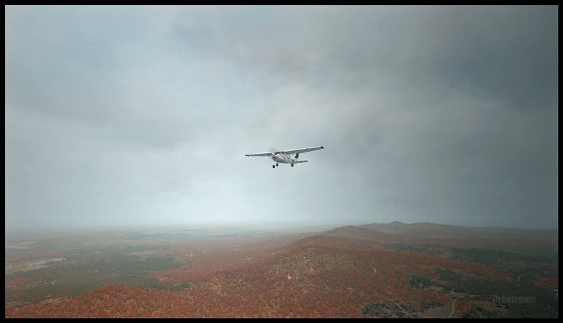
Here are the first few hills visible but, rapidly, the top of mountains will be obscured in clouds. The downloaded weather is managed by the FSGRW weather engine and the cloud textures are the result of a combination between REX Texture Direct and REX Soft Clouds. A photo software has been used to enhance the contrasts.
The aircraft is a C182T Skylane from A2A Simulations. The similarities between a real aircraft and this virtual aircraft is really unbelievable. The pilot must take care of all corrections, even the gyroscopic precession, otherwise the ADF will indicate the road to follow while the compass sends you in a totally different direction!