Hi,
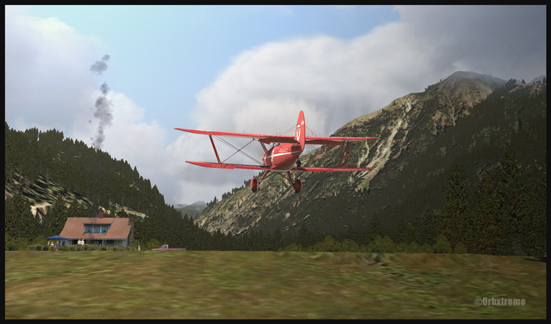
I’ve just added a new VFR flight in the “flight simulation” section, under “standard virtual flights”. An Alabeo WACO takes off from Cushman Meadows, heads south-east towards the Skokomish Reservation, then flies over the Bremerton airport to the north-east and ends up landing at the Bear Gulch aerodrome, just in time for a BBQ. This was done using FSX. The first part of the cross country is for a starting virtual pilot but the last part requires a bit more experience.
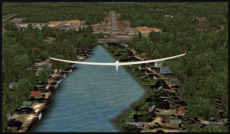
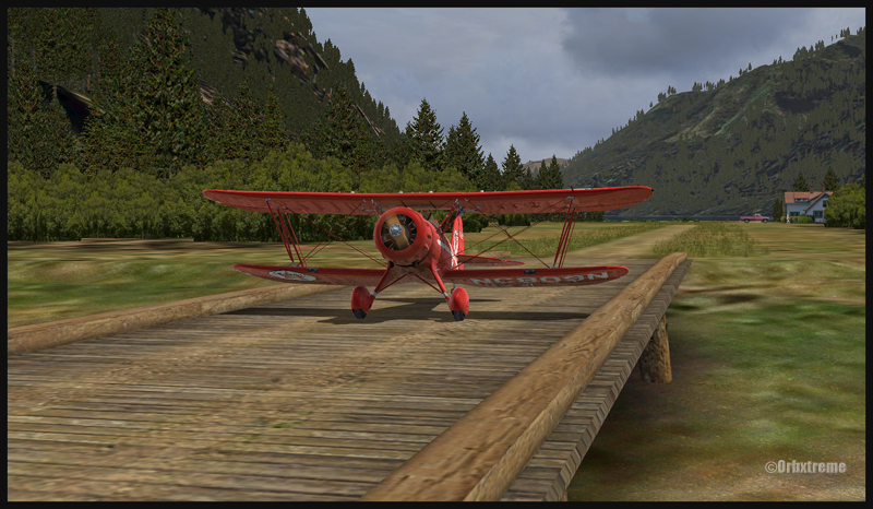
It is a more demanding experience than what is normally found in the “standard flights” section, since it involves a final landing at Bear Gulch. The runway at that airport is only 1411 ft long, and quite narrow. So you have to plan your approach carefully. A little wooden bridge is part of the runway! Since the flight is done in nice VFR conditions and does not involve engine failures or using a really fast aircraft arriving on a short runway, I decided that the “standard virtual flights” section was more appropriate. Still, it is not an easy approach.
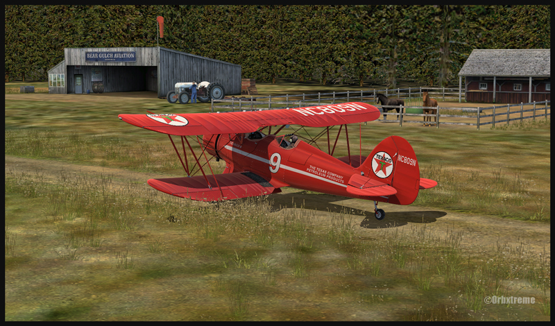
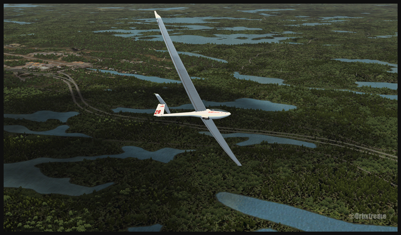
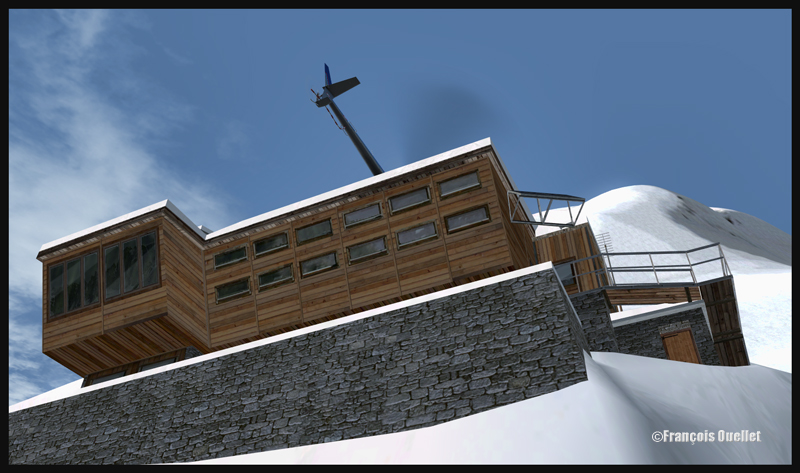
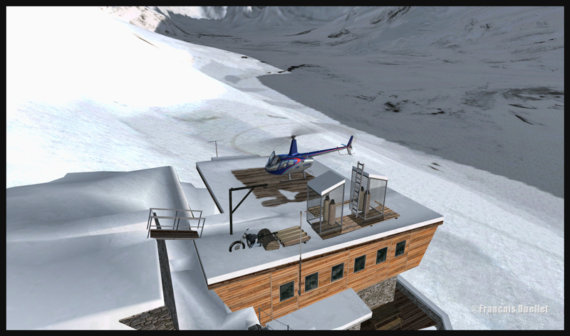
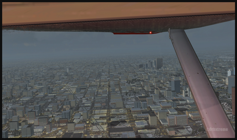
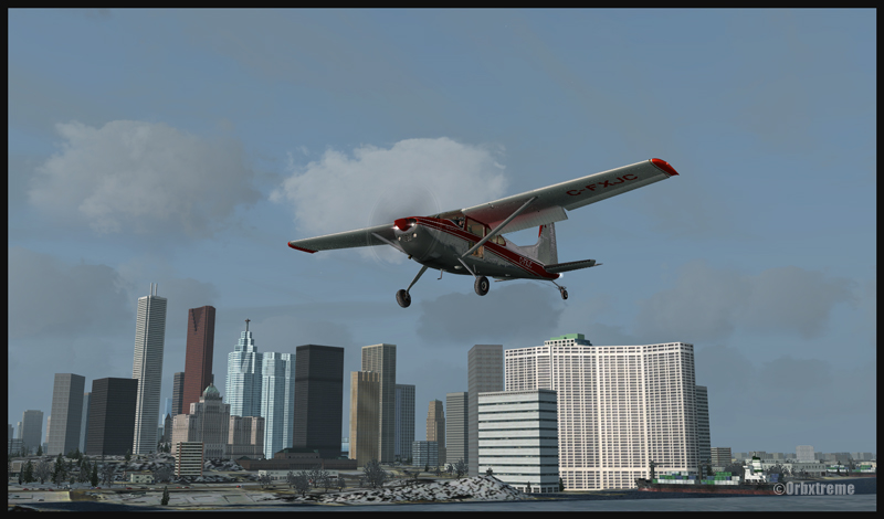
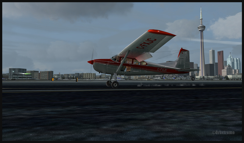
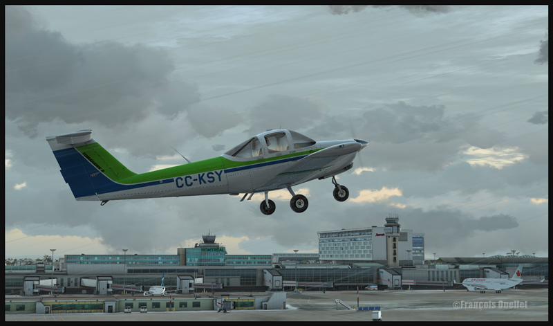
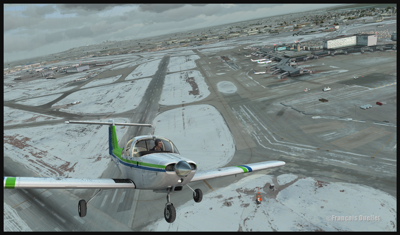
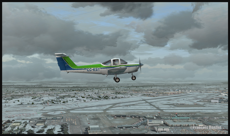
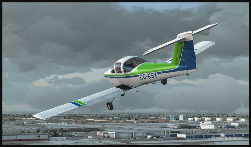
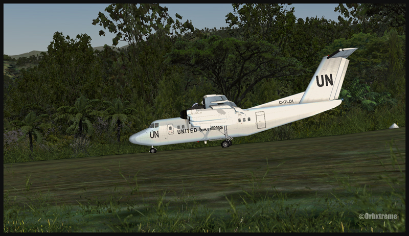
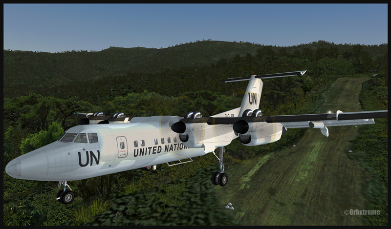
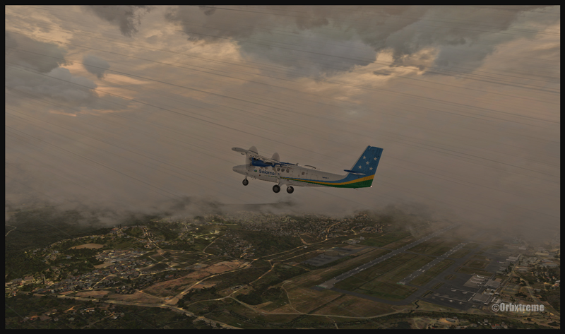
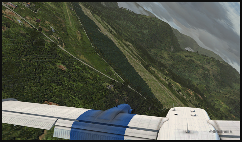
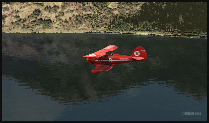
Cushman Meadows (KCMW) and the Bear Gulch (WA38) runways do not exist in real life but am I ever glad Bill Womack took the time to create them. His site can be found under Iblueyonder. The screen captures show both airports and the PNW region sold by ORBX. If you want nice shadows on the ground while not using P3D, just get CumulusX and set the season to summer, with scattered clouds in mid afternoon.

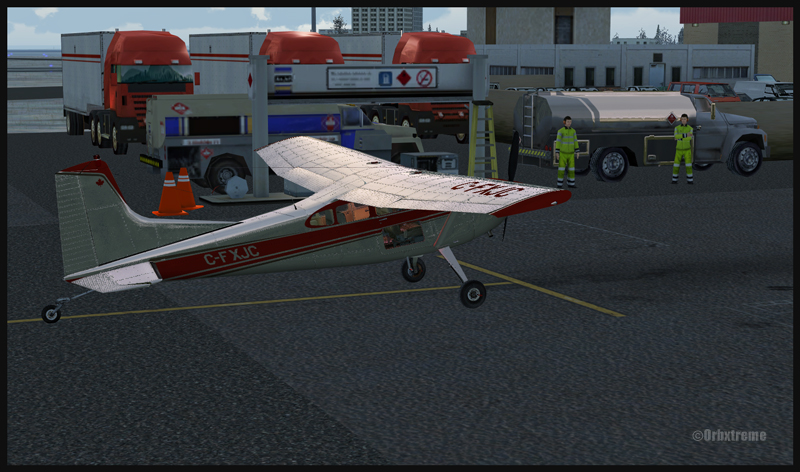
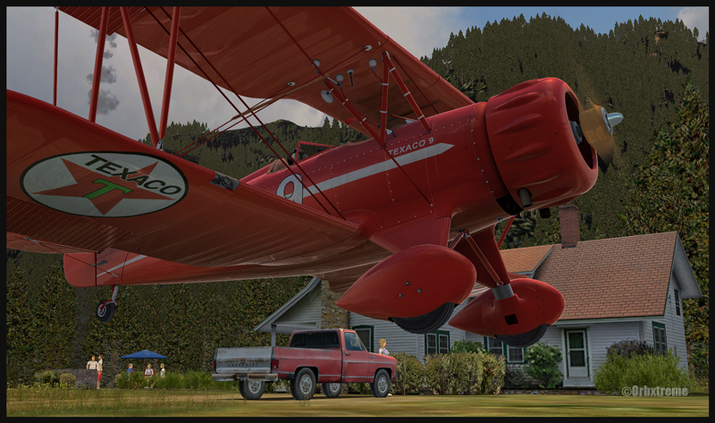
Some guests have already arrived in Bear Gulch. You will see the smoke rising from the BBQ being prepared while you are on short final. The guests will certainly be taking pictures of your approach, as you are flying a vintage aircraft. So, if there was ever a time to do things correctly, now it is!
For more articles on flight simulation on my web site, click on the following link : Flight simulation
Have fun!