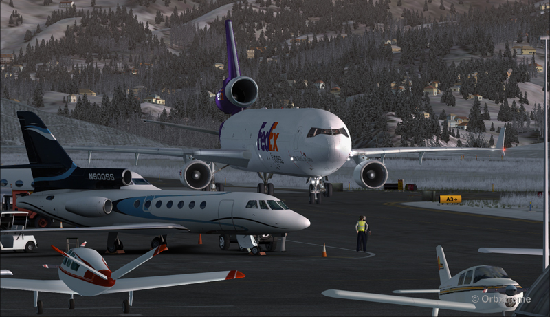
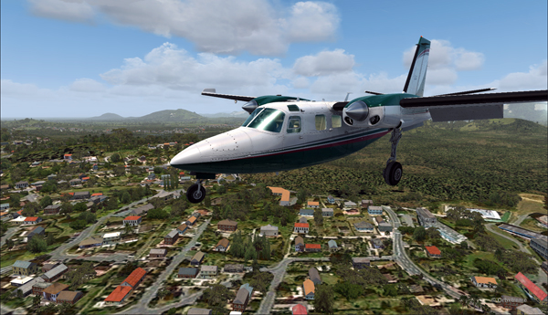
There is no aircraft in the sky around the Port Moresby Jacksons (AYPY) virtual airport today. No aircraft in the sky but one, a medevac flight.
The winds blow from 240 degree at 50G60 kts and the runways are oriented 14/32. It is way above the maximum crosswind authorized for any aircraft.
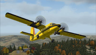
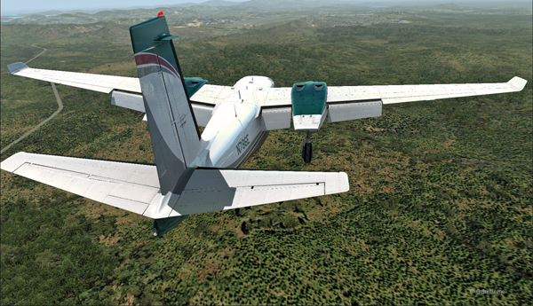
But the Shrike Commander’s crew cannot wait until the wind calms down. They must land in the next few minutes in order to save a patient’s life.
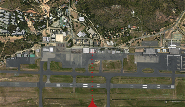
As there is no traffic around, the captain has told ATC he intends to do a safe, efficient but non-standard approach.

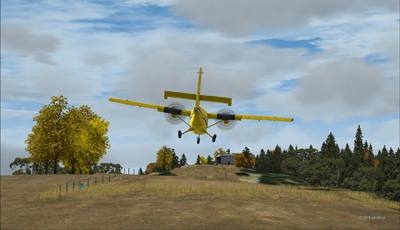
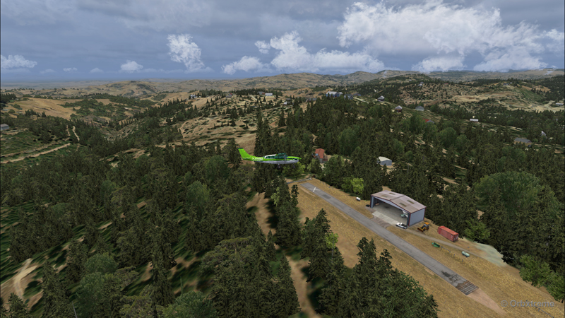
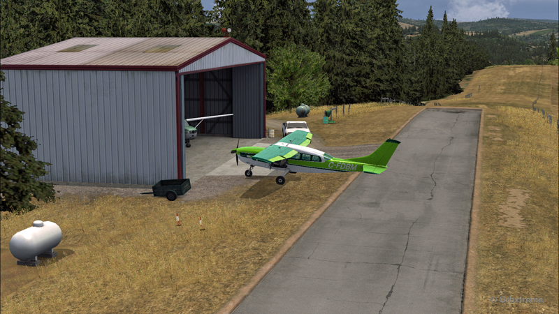
Arriving straight across the runways, facing the wind, the crew intends to land the aircraft a few feet short of a hangar. The captain requests that someone opens the hangar doors right away. The captain will terminate the approach in the hangar, protected from the wind.
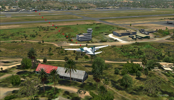
It is safer to arrive facing the wind and immediately enter the hangar, straight ahead. No taxiing with a 60 knots crosswind.
Useless to say, ATC has already refused the request. But the pilot is the only one who decides of the best landing surface, for the safety of the passengers and himself. He proceeds with the approach after having clearly indicated which path will be followed.
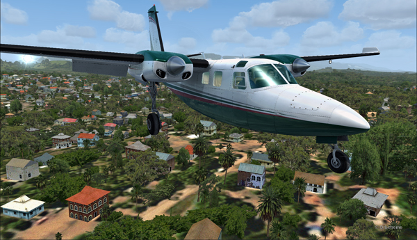
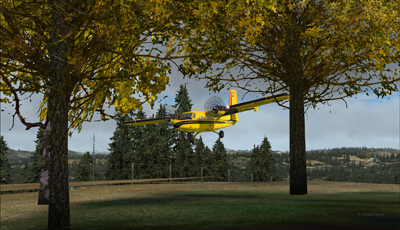
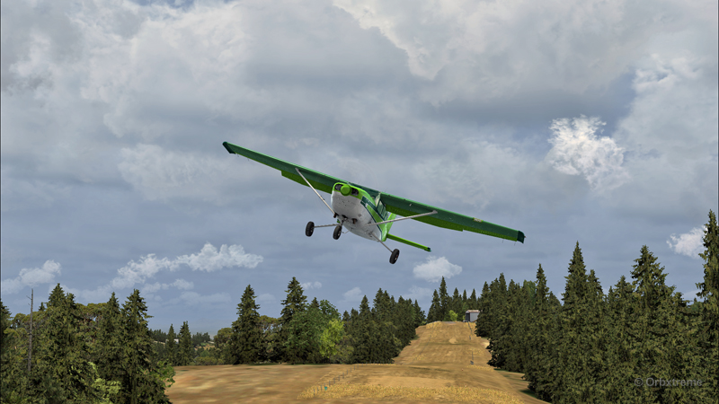
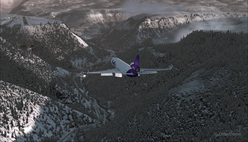
The main problem for the approach is the low level mechanical turbulence caused by the gusty 60 kts winds.
If ATC wants to file a complaint, now is a good time to take a picture of the aircraft and its registration to support the case.
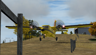
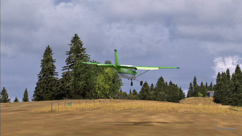
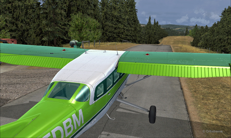
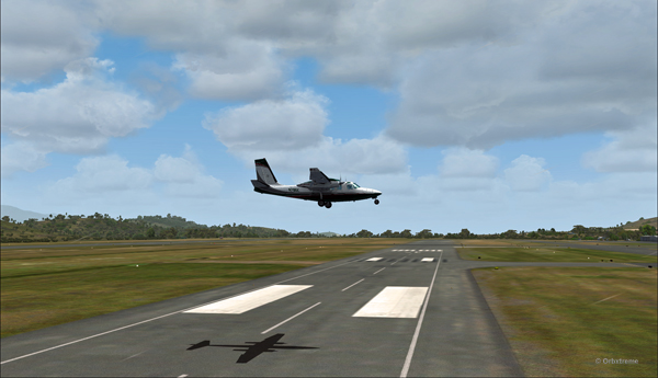
The actual ground speed of the airplane is around 20 kts.
The steady high wind speed is actually safer for the crew than if the winds were 240 at 35G60.

Still a bit above the runway and with a 10-20 knots ground speed. The airspeed indicator shows the strength of the wind itself plus the ground speed.
Floating like a hot air balloon or almost!
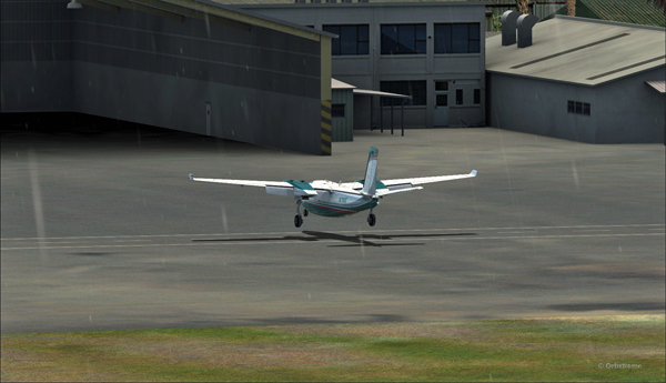
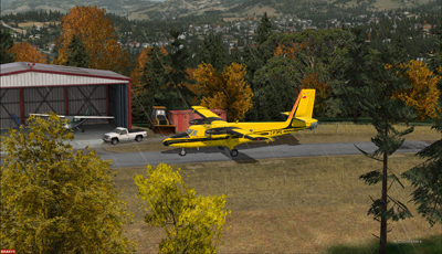
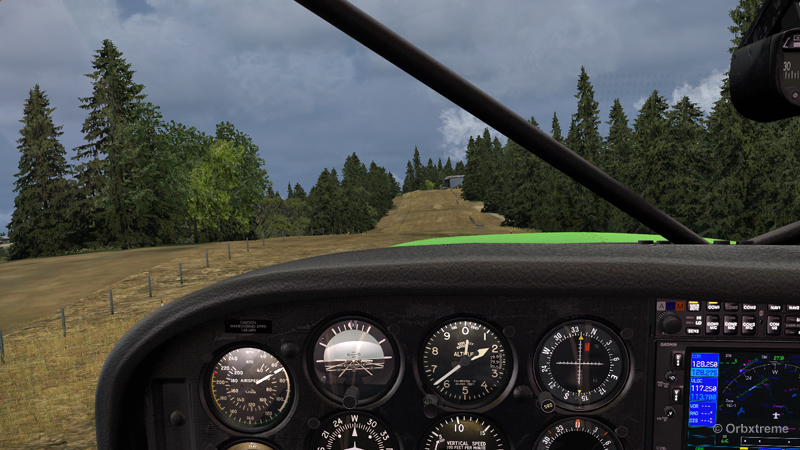
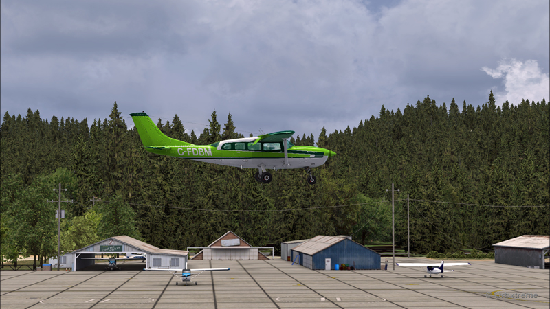
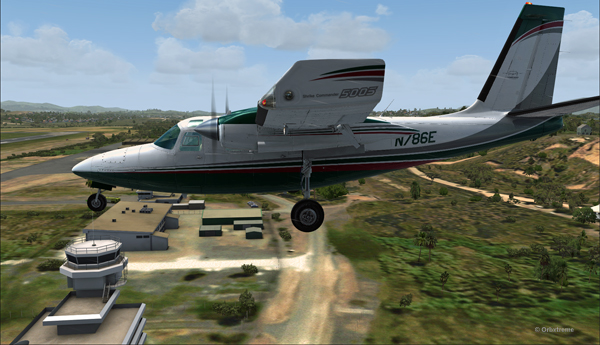
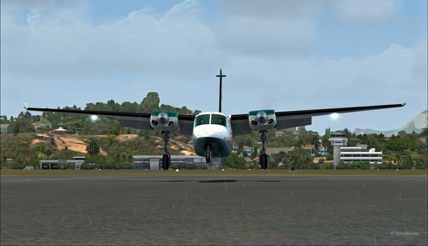
As the aircraft touches the ground, it stops almost immediately. It is necessary to apply power to reach the hangar, as you can see with the white trail on the ground behind the aircraft.
In real life, the touch-down would have had to be as soon as the asphalt start since the presence of the hangar lowers the wind speed a bit.
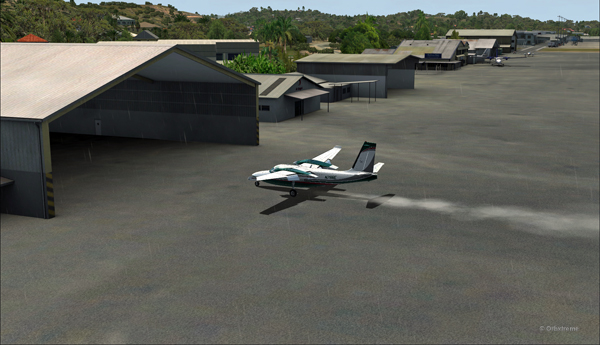
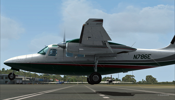
A few seconds after the touch-down, the aircraft is in the hangar, protected from the wind, and both doctor and patient can quickly head out to the hospital.
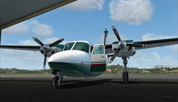
Once in the hangar, the winds were adjusted to zero, which is kind of logical, unless the opposite wall is missing!
It was now time to brace for another storm, which was the inquiry that would possibly follow the landing!
(P.S.: Tim Harris and Ken Hall were the creators of this virtual Port Moresby Jacksons international airport) and it is sold by ORBX. The aircraft is sold by Carenado).
Click on the link for more unhinged virtual flights on my blog.