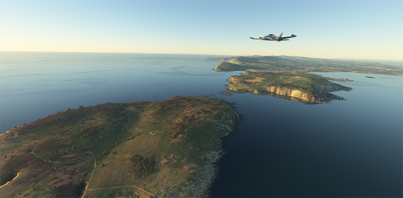
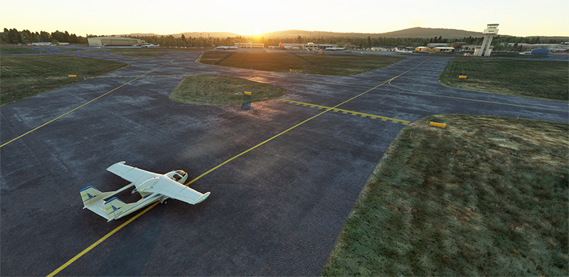
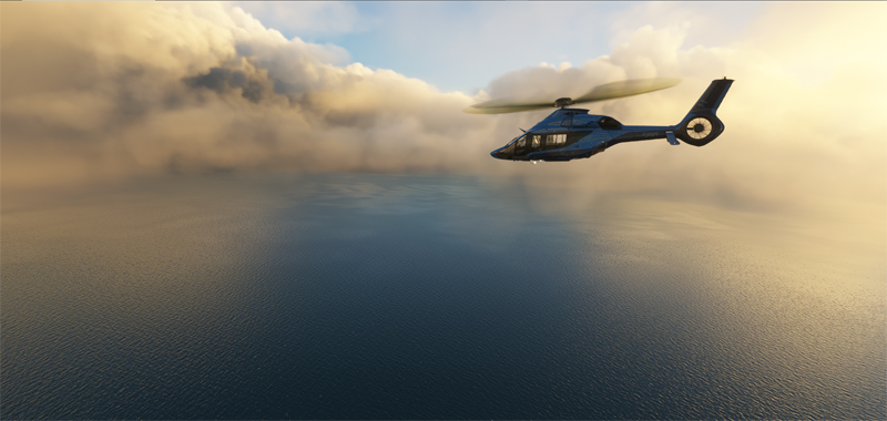
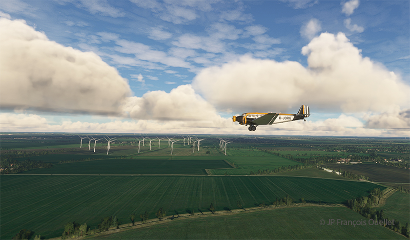
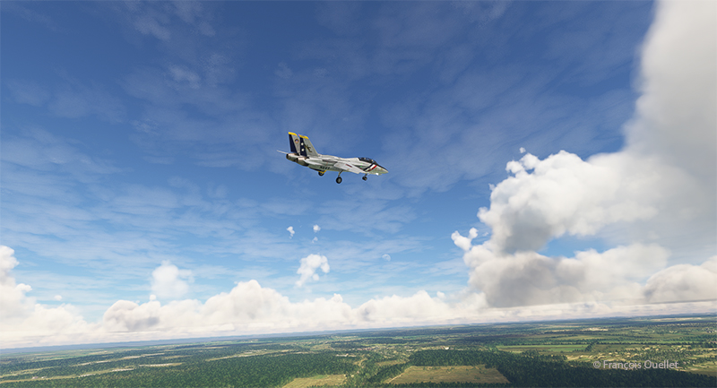
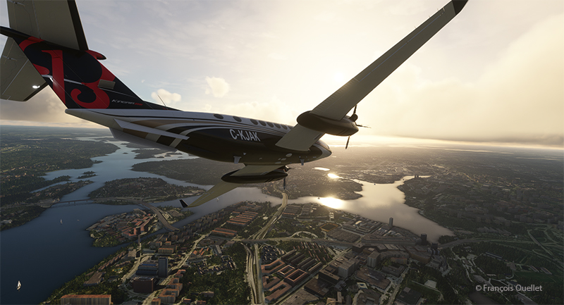
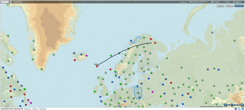
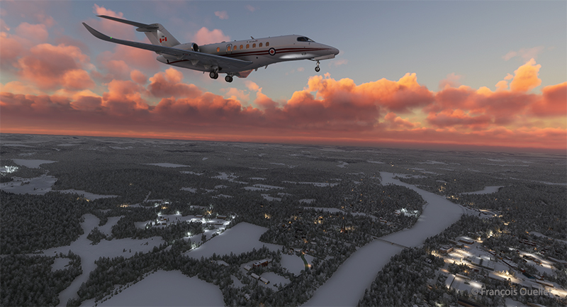
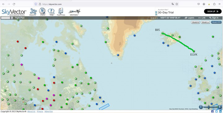
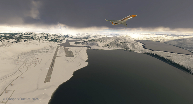
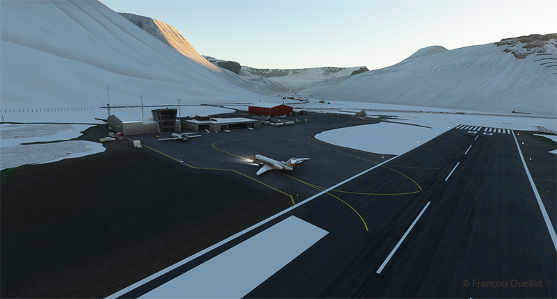
The crew got their hands on a Cessna 310R for the next stage of their round-the-world flight simulation. The virtual aircraft is manufactured by Blackbird Simulations and scores highly with users. Departure is from the Isle of Man Airport (EGNS), with Dublin as the destination. This will be the only stopover in the Republic of Ireland before proceeding on to London, UK.
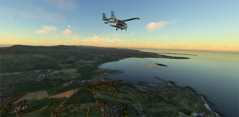
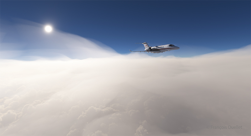
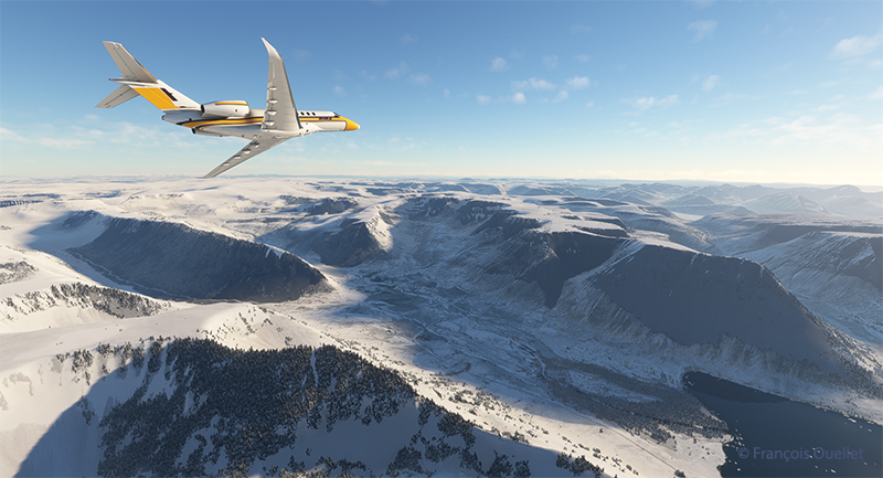
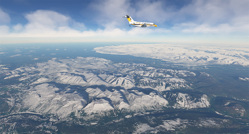
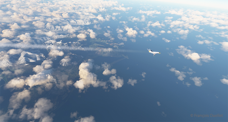
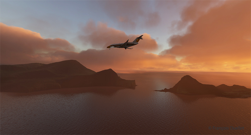
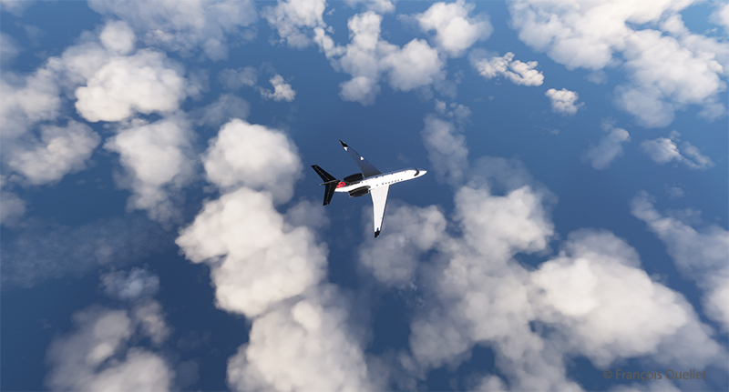
The good weather continues in this part of the world known for its rather cloudy conditions. Flying the Cessna 310R is a real pleasure. With its cruising speed of 188 knots, we reach Dublin quickly.
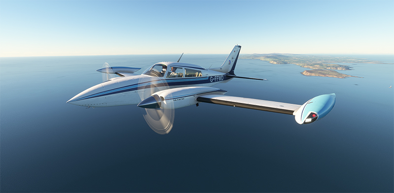
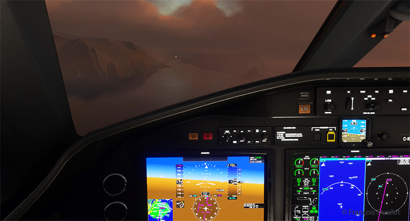
The left engine is considered critical in the event of engine failure. Vmc is 80 knots. Stall occurs immediately below this speed when only the right engine is running.
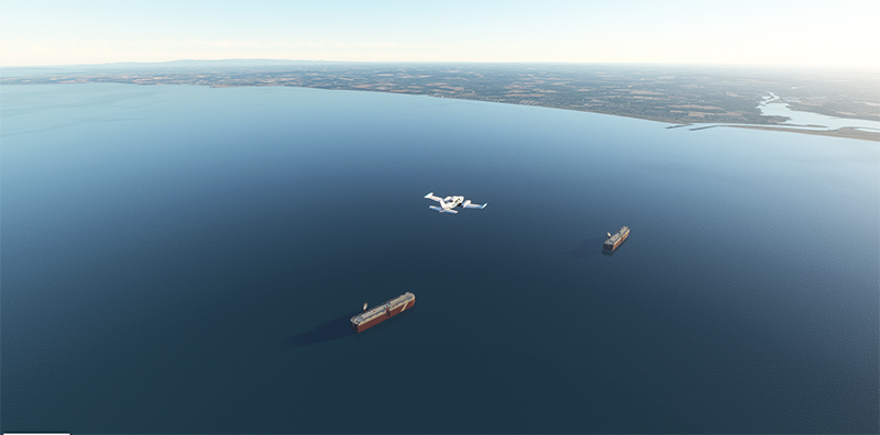
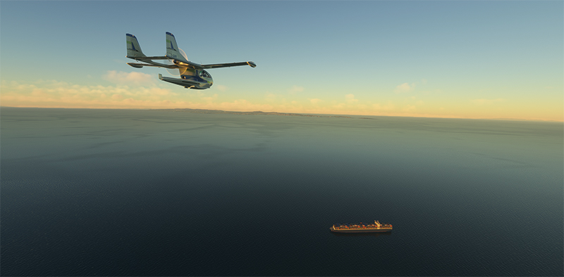
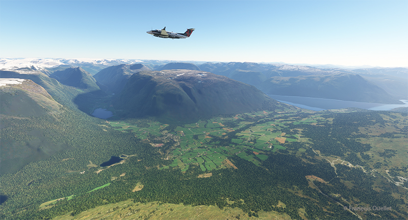
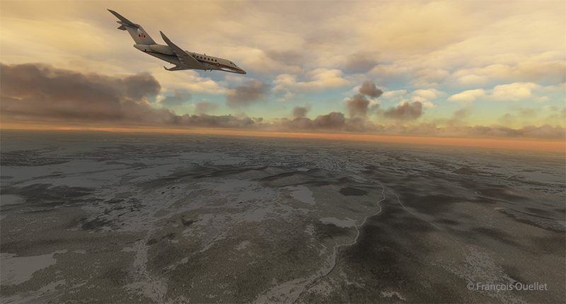
The aircraft approaches the Republic of Ireland as it flies over two ships carrying cars.
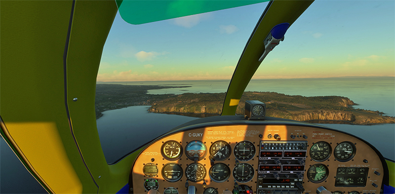
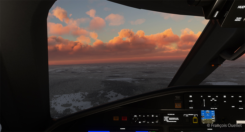
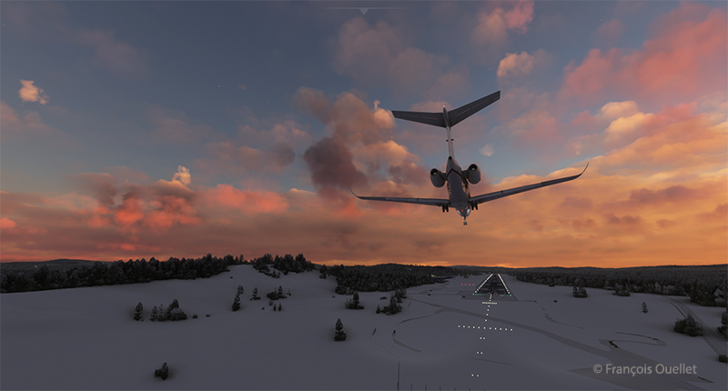
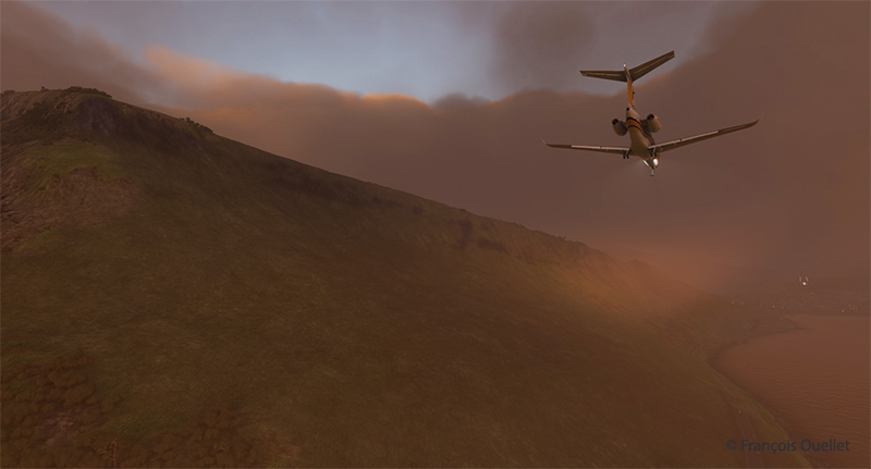
Dublin airport (EIDW) is in sight. A last turn to runway 16 takes us onto long final. Winds are not a problem for the approach.
The virtual pilot extends the landing gear and flaps. Even though this is a flight simulation, you have to keep to the required speeds with flaps and gear, otherwise the flight will come to a halt.
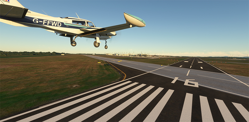
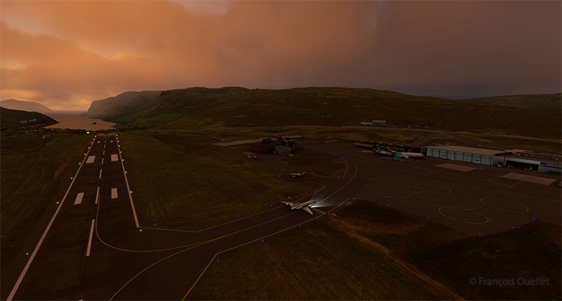
The UK-registered aircraft arrives on short final after an uneventful flight.
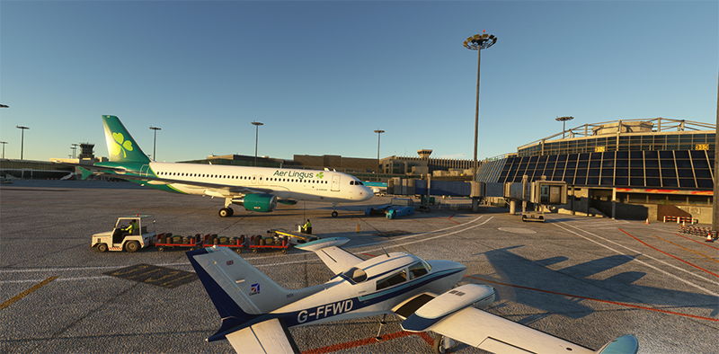
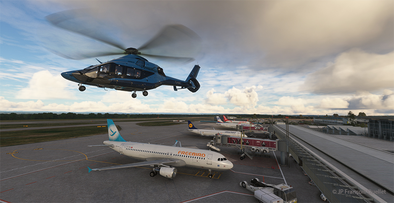
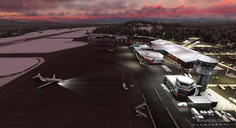
We make our way through the airport to the agreed disembarkation point. Along the route, we can observe several parked aircraft, including those of British Airways, WestJet and Aer Lingus.
FSLTL software works effectively to furnish most airports with virtual aircraft.
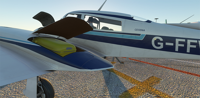
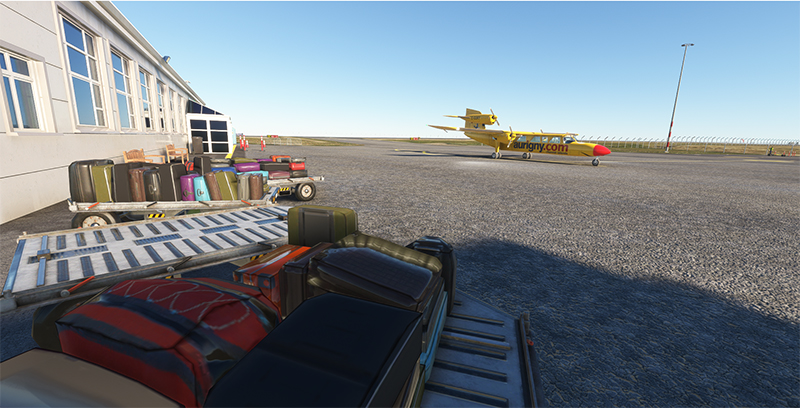
At last, a passenger who had the idea of getting a yellow suitcase instead of the eternal black ones that everyone confuses on luggage straps.
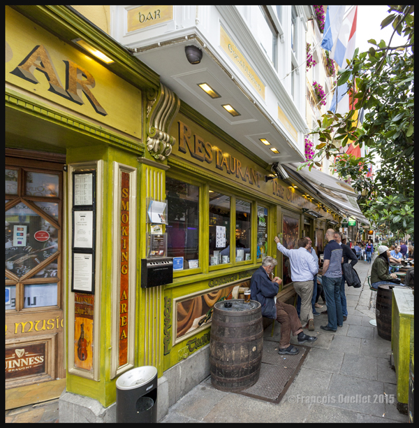
In the evening, we go out in the Temple Bar area without exaggerating the number of drinks. Tomorrow, we’ll be sure to visit the Guinness Storehouse, the Jameson distillery and the Emigration Museum.
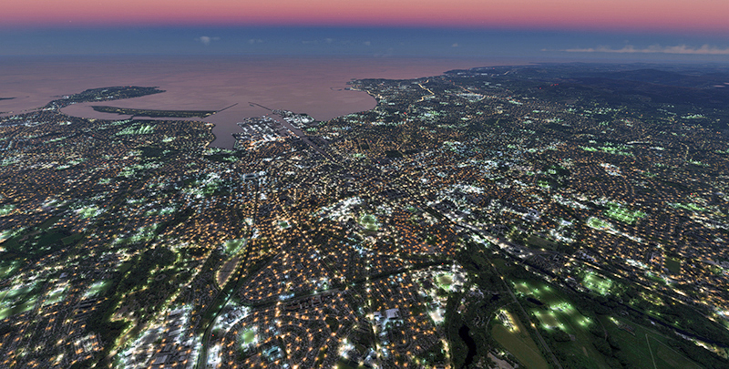
A flight with the virtual drone gives an idea of Dublin illuminated just before nightfall. This is the version offered by Microsoft’s MSFS 2020 flight simulator. The light is superb.
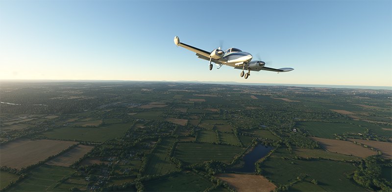
The next leg of our round-the-world trip will soon take us from Dublin to London City Airport (EGLC) in a Black Square Beechcraft B60 Duke.
Click on the link for previous legs of this flight simulation world tour on my blog.


