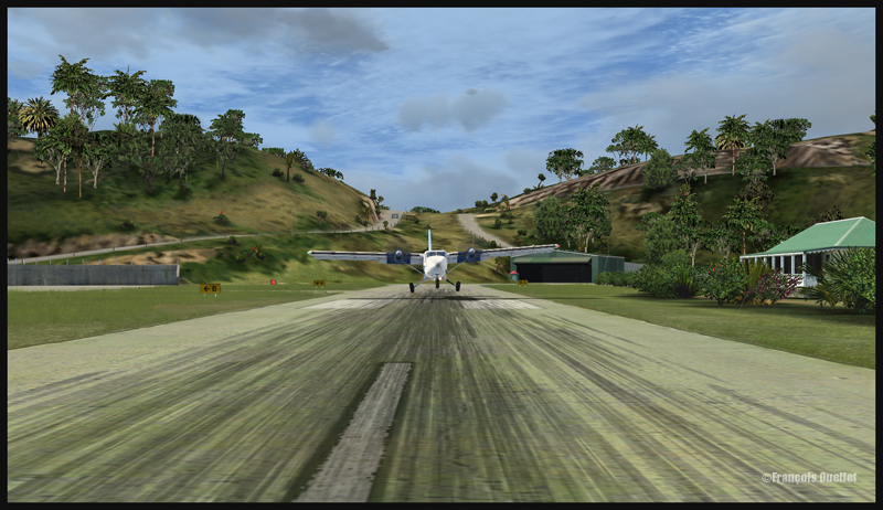
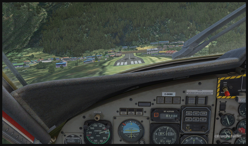
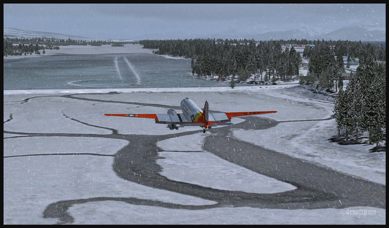
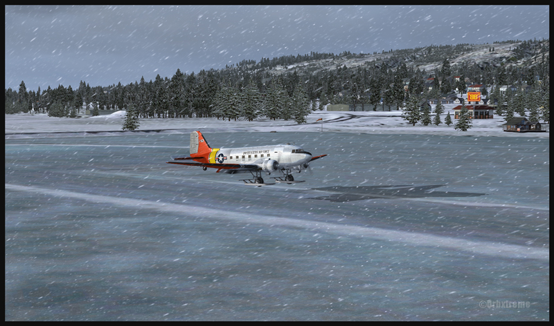
If you feel like attempting a virtual landing on an ice runway, an opportunity is offered by ORBX through their Homer (PAHO), Alaska virtual airport. For the flight, I used the FSX platform but it could have been also done under P3D.
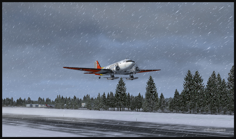
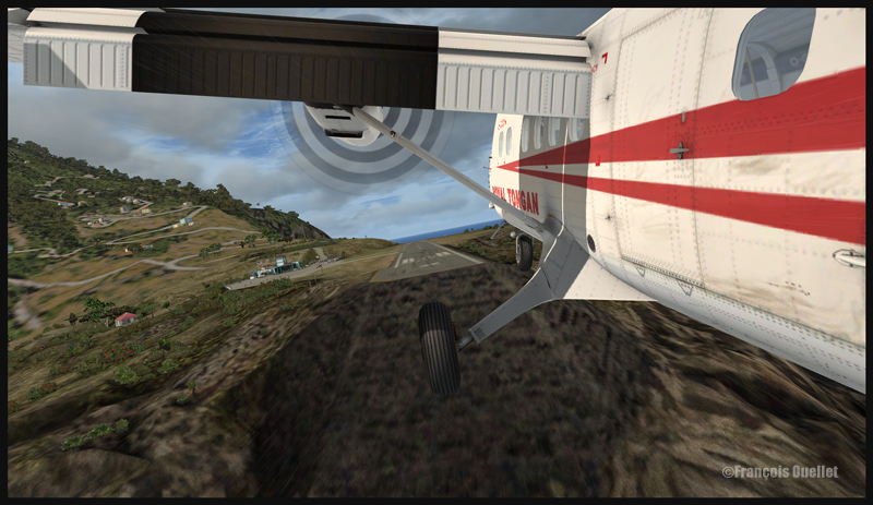
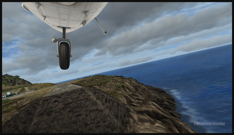
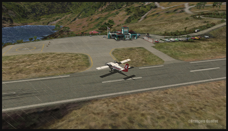
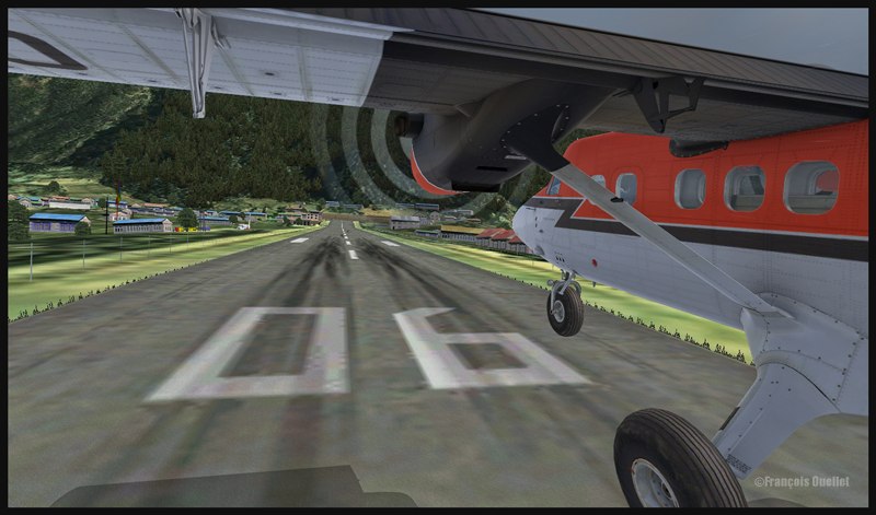
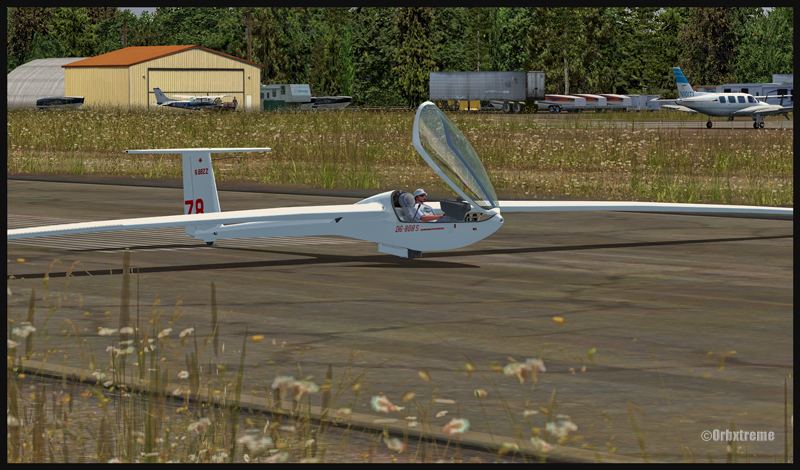
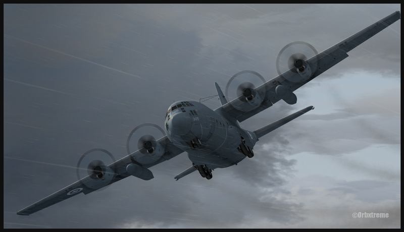
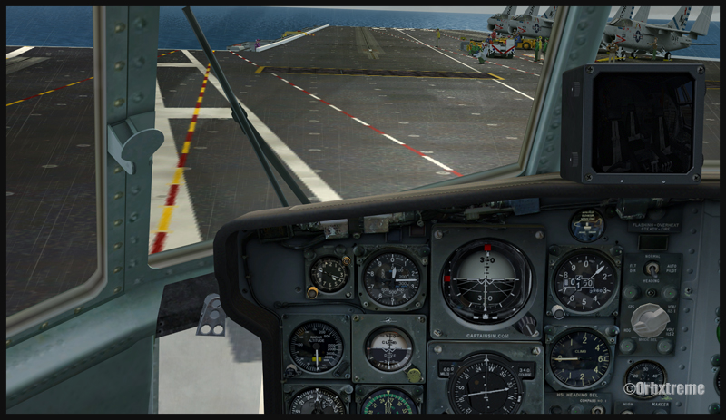
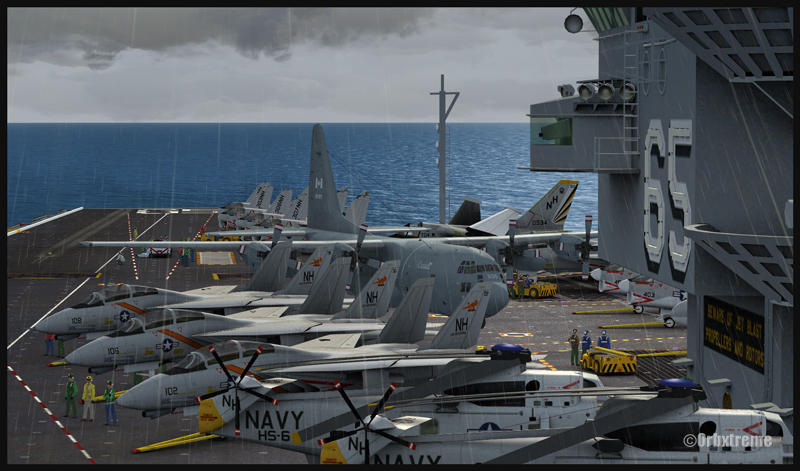
The ice runway is just a short distance away from the regular Homer asphalted runway. The DC-3 is an excellent aircraft for the task since its approach speed is very low and it is one of the few virtual aircrafts equipped with skis.
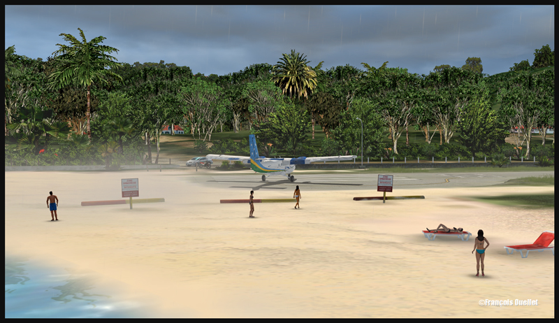
If you want to try that flight, make sure to adjust the flight simulator configuration settings so that the Homer ice runway option is activated, otherwise you’ll end up under water…
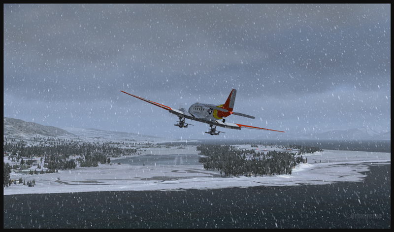
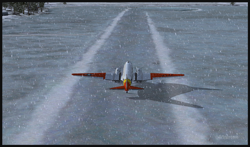
In order to add a bit of challenge as well as winter realism, you can add a bit of crosswinds or some snow using the standard « heavy snow » option in FSX. The program PrecipitFX helps a lot if you are looking for a better definition of precipitations, be it snow or rain. For this flight, the Cumulus X program was also activated.
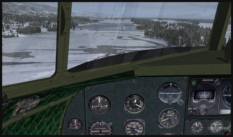
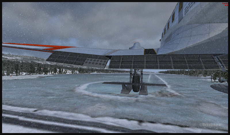
The short flight proved to be an interesting experience, since the runway was narrow and there were some crosswinds. I thought that it would be very slippery but it was not the case. Maybe one day Orbx, in association with the FSX Steam (Dovetail Games) professionals, will work at modifying the flight simulation platform and add a CRFI (JBI) index of .40 or less to increase the difficulty in slowing down and controlling the virtual aircraft?

As this flight is not a super though exercise, I have placed it in the “standard virtual flights”, in the flight simulation section of my website. For more of those flights, click on the following link: Other standard virtual flights
Have fun trying this one! Later on, I’ll present another ice runway located on Antarctica, which virtual scenery was made by Aerosoft. Even the C-17 Globemaster III is approved there…
For more articles on flight simulation on my web site, click on the following link : Flight simulation