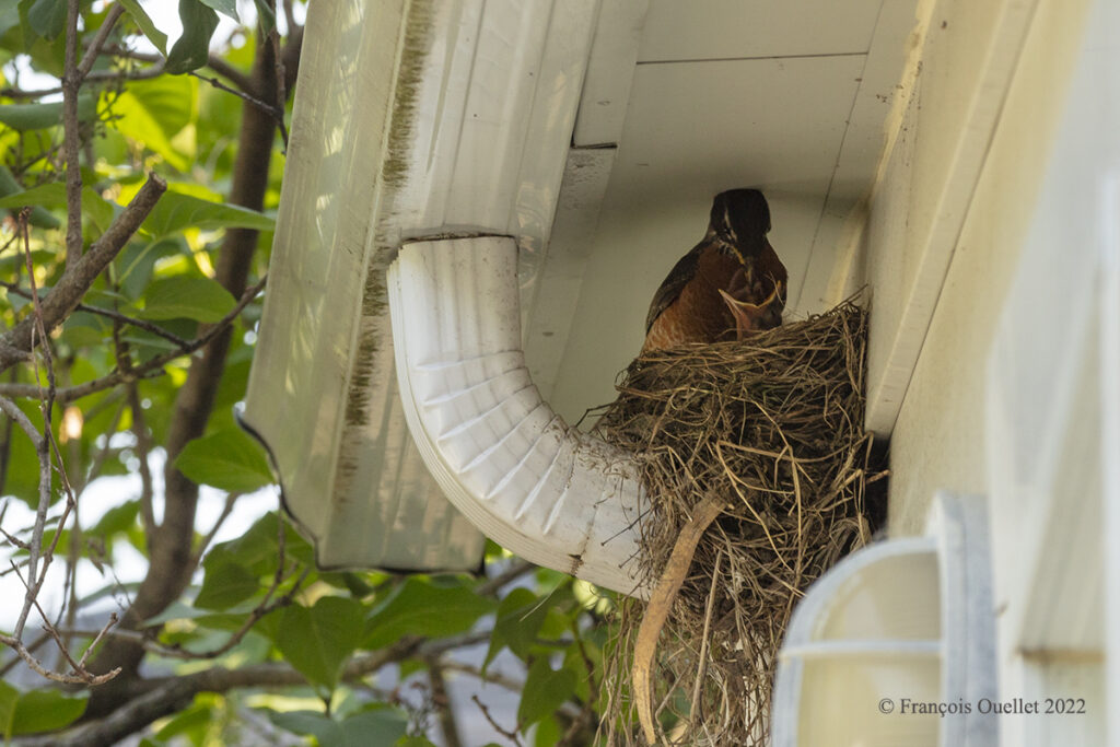
In Quebec City, an American Robin came to make its nest near our back door. Since it had been there brooding without giving birth to anything, we were beginning to believe that the mother was sterile.
Major construction work was to begin shortly at our home and would last a few weeks. We were almost glad that no chicks were born, as this would simplify the transportation of materials.
A day before the renovations were to begin, the first chick was born. From then on, all construction workers would have to be blocked off and asked to make a detour each time they needed to take scraps out of the house or bring in new material.
All labor groups agreed to our request without a second thought. For two weeks, electricians, plumbers, floor layers, delivery people and installers of all kinds came and went, sometimes asking for updates on the condition of the mother and her chicks.
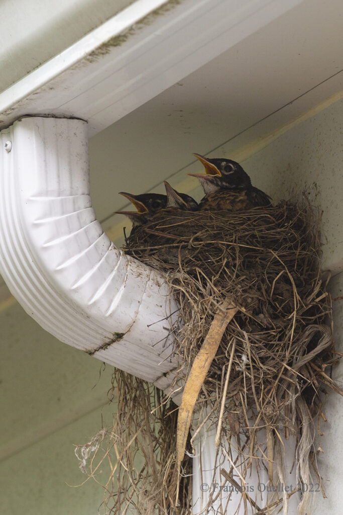
The photo above shows the three chicks one day before they fledge. The lack of light due to the location of the nest, as well as the desire not to disturb the fledglings, necessitated the use of a powerful telephoto lens and a camera capable of cropping without loss of quality. A full-frame camera Canon 5DSR with a Canon 70-200 f2.8L IS II USM telephoto made the job easy. The ISO was set to 200 and I severely limited the depth of field to get the best possible shutter speed to avoid motion blur.
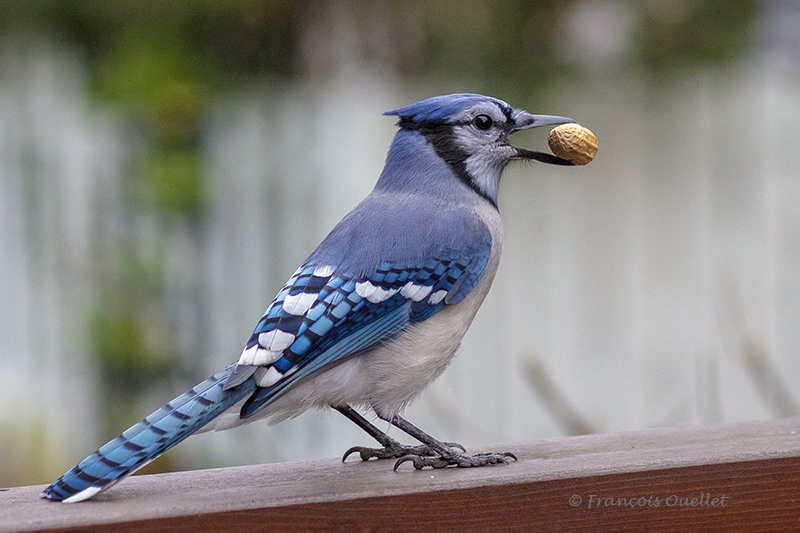
This morning, all the birds had left the nest. The parents were flying around nervously, attacking predators while the young were quickly learning to become independent. The blue jay that regularly visits us for its “dish of the day” was denied access to the backyard by both parents.
There are now three new American Robin in the area and it is almost certain that the mother will return next year to the same location, given the success this year.
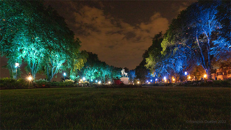
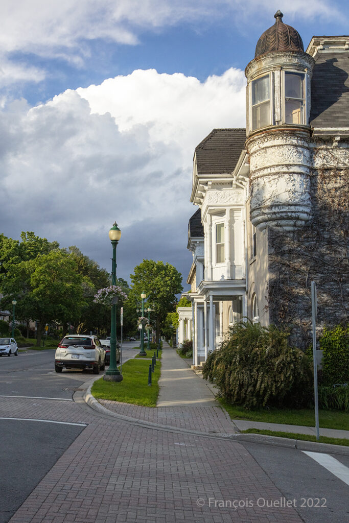
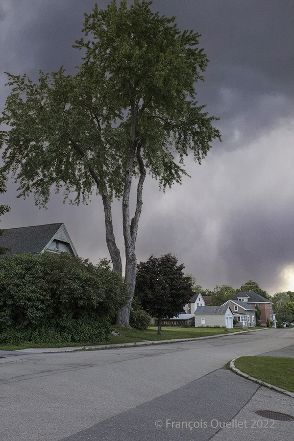
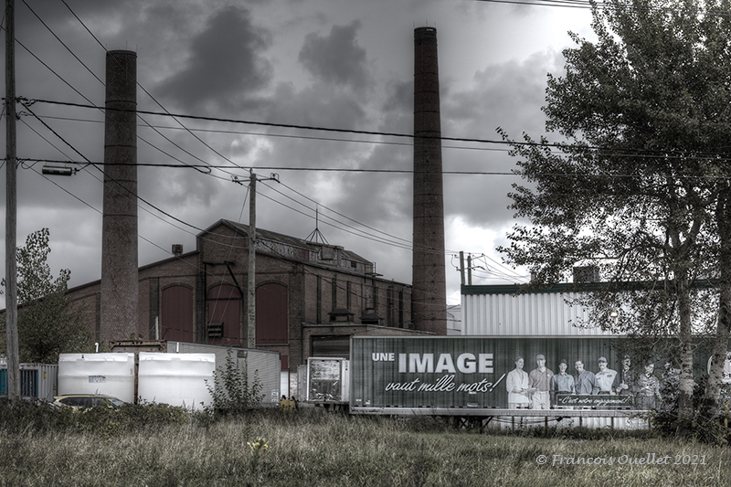
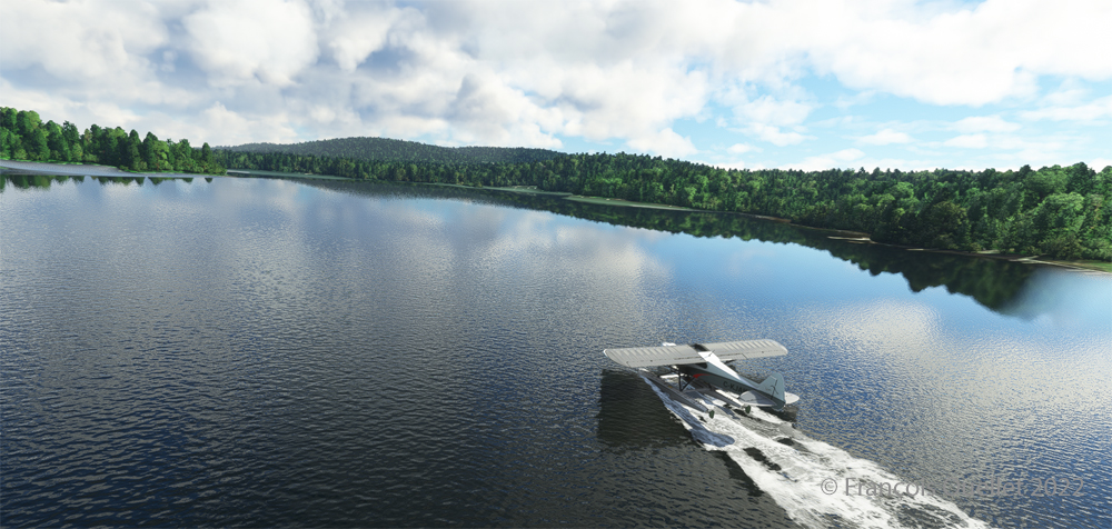
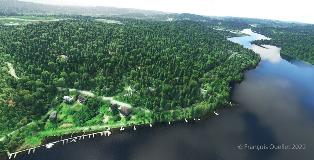
Click on the link for more pictures of Quebec City in Summer on my blog.