Categories
Flight Simulation

Around the world in flight simulation (2)

Climbing from Iqaluit (CYFB) to Kangerlussuaq (BGSF)

For this second leg of the round-the-world flight simulation, the aircraft departs from Iqaluit (CYFB) in appalling weather conditions, but soon find itself above cloud and approaching an area of high pressure. The sky becomes increasingly clear as I approach runway 09 Kangerlussuaq (BGSF) in Greenland.

Virtual flights CYFB BGSF BIIS

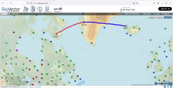
The map shows the planned itinerary: departure from Iqaluit (CYFB), stopover in Kangerlussuaq (BGSF) and arrival at destination in Iceland, at Isafjordur airport (BIIS).

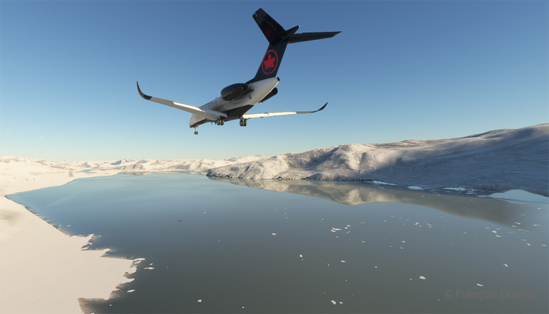
Cessna Citation Longitude on the final approach for the Kangerlussuaq virtual airport (BGSF)

Above, the approach to runway 09. You really need to be well prepared for a destination like BGSF. If the pilot arrives after the tower is closed, the fines are very steep. You can generally expect a little mechanical turbulence on the approach to Runway 09, as the mountains on either side of the aircraft change the airflow.

When I worked at the Iqaluit Flight Service Station (CYFB), many pilots would come up to the tower to plan their flight to BGSF. The most frequent problem was the closing time of the control tower in Kangerlussuaq. They knew that a hefty fine awaited them if they arrived late, often due to stronger-than-expected winds or a departure time that was too tight from Iqaluit. Most of the time, they chose to sleep in Iqaluit and leave the next day, rather than force the issue and end up with a $1500.00 bill to pay.

We also had pilots ferrying single-engine planes over the ocean from Europe to America. In this case, the weather had to be excellent, and the captain had to have the necessary equipment on board to attempt (and I do mean attempt) to survive in the ocean in the event of engine failure.

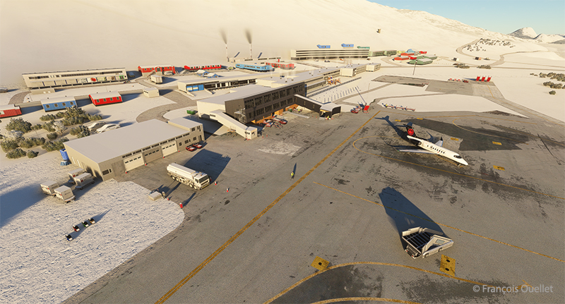
Cessna Longitude parked at Kangerlussuaq (BGSF)

Above, a partial view of Kangerlussuaq’s virtual airport (BGSF), with the Cessna Citation Longitude at a standstill. On the other side of the runway (invisible here), the airport receives military aircraft.

Climbing from (BGSF) Kangerlussuaq to (BIIS) Isafjordur

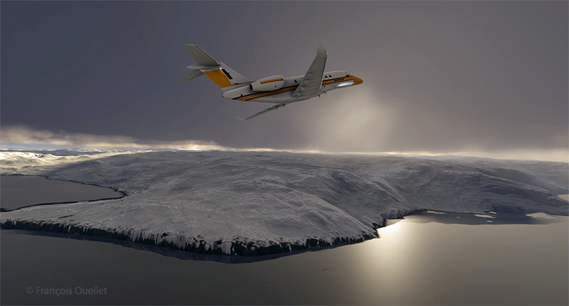
The next day, after a stopover in Kangerlussuaq, it’s time to continue on to Isafjordur. Take-off is on runway 27. The pitot tube heating system and icing protection are activated before entering the cloud layer.

Airborne from the Kangerlussuaq (BGSF) airport

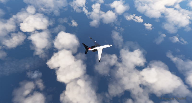
Flying in real weather makes for unexpected screenshots.

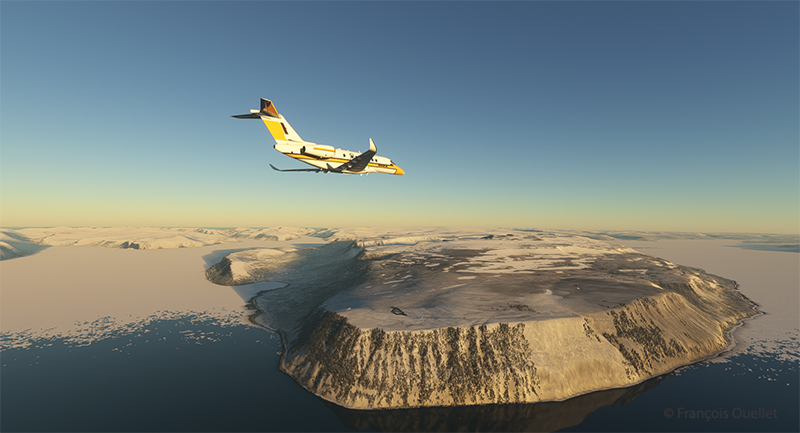
The Cessna Longitude arrives over Iceland in flight simulation

Above, the relief of Iceland shortly before arrival at Isafjordur airport (BIIS). As expected, the sky is clear.

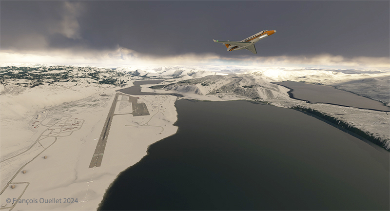
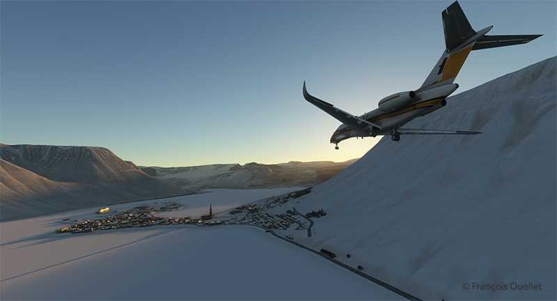
Approaching Isafjordur (BIIS) with the Asobo Cessna Citation Longitude

The approach to Isafjordur is demanding, especially when flying a jet like the Cessna Citation Longitude. You have to save extra speed in the sharp left turn to avoid stalling. I made the turn downhill at 160 knots to get to the runway threshold at the right height. Towards the end of the approach, as the angle of the turn decreases, you immediately reduce speed to around 135 knots.

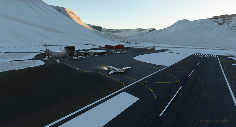
The Cessna Citation Longitude exits the runway at the Isafjordur virtual airport (BIIS)

Contrary to real life, it is difficult to have a constant view on a runway when doing a virtual approach in a steep turn. A flight simmer would need 3D glasses to quickly look at the runway and then check the instruments. After two unsuccessful attempts where I found myself a little too high above the runway threshold, I nonetheless managed to land. The instrument panel indicated, however, that the brakes worked pretty hard to slow down the plane, which didn’t really surprise me. There are more relaxing approaches…

The next leg on this trip around the world will be a departure from Isafjordur to Vagar (EKVG) in the Feroe Islands.

Click on the link for more flights around the world in flight simulation on my blog.
Categories
Flight Simulation

The Jungfraujoch in flight simulation.

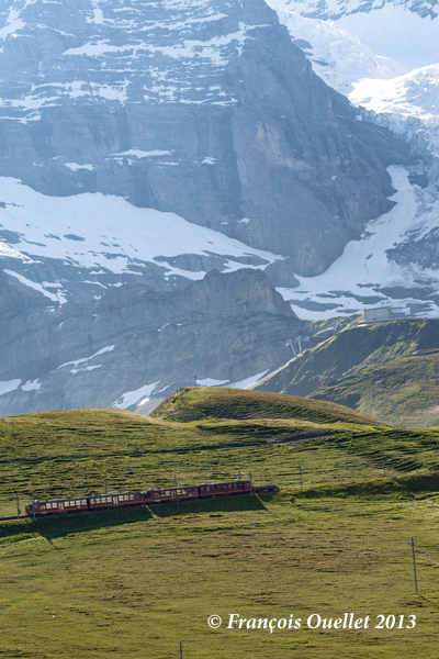
On the train heading for the Jungfraujoch, Switzerland 2013.

Ten years ago this year, we took the train to the Jungfraujoch Top of Europe station.

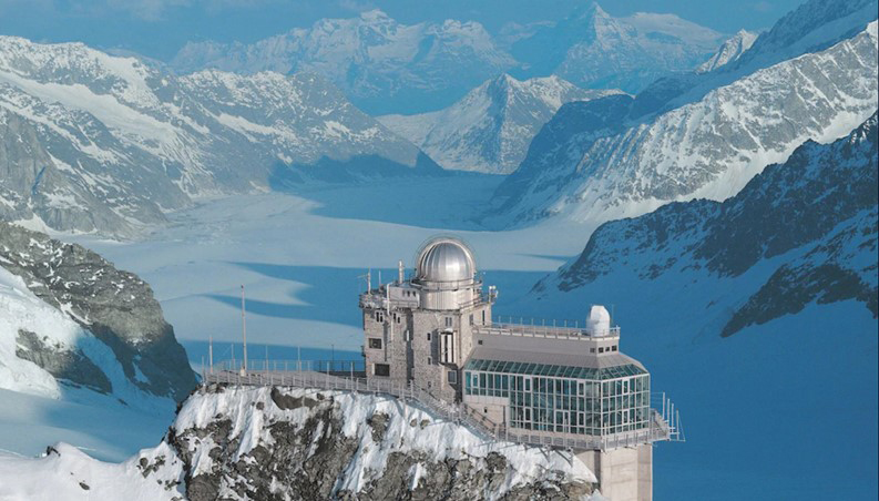
Sphinx astronomical observatory on the Jungfraujoch in Switzerland.

The latter is located in the Jungfraujoch pass in Switzerland, at an altitude of 3571 meters (11,716 feet MSL).

The construction of this station was a feat of engineering at the time, but cost the lives of many workers. One does not make one’s way through a mountain range with sticks of dynamite without the occasional unforeseen agenda imposed by nitroglycerine.

The train can therefore only reach this station by traveling inside the mountains on a steep slope requiring a hydraulic mechanism to pull the train forward. The tourist must trust the engineers and the technical support…

To remind myself of our trip to this region, I thought of taking a virtual helicopter flight from Lauterbrunnen to land directly on the platform of the Sphinx astronomical observatory, this world famous tourist attraction of the Jungfraujoch. Fortunately for me, the company Red Wing Simulations recently created a virtual scene including these two magnificent sites.

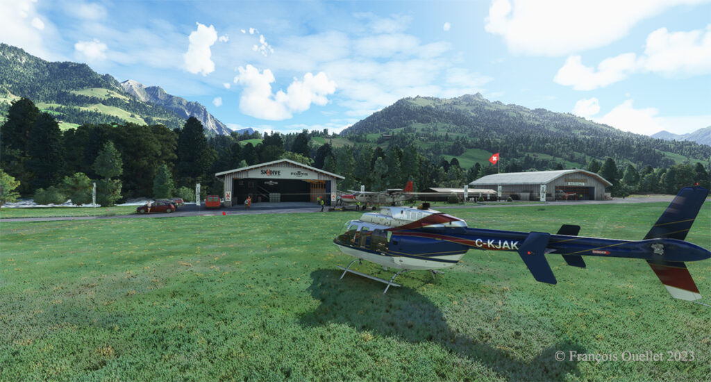
Lauterbrunnen, Switzerland and the Microsoft Flight Simulator Bell 407.

Flight simulation enthusiasts will be well advised to use the Bell 407, as the operating limit of the Guimbal Cabri G2  provided by the Microsoft flight simulator is capped at 13,000 feet. It is best to fly with a slightly more powerful aircraft when maneuvering at this altitude.

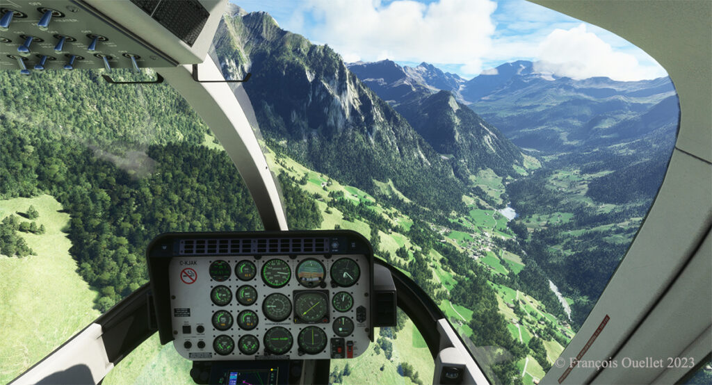
Airborne from Lauterbrunnen, Switzerland, with Microsoft Flight Simulator 2020.

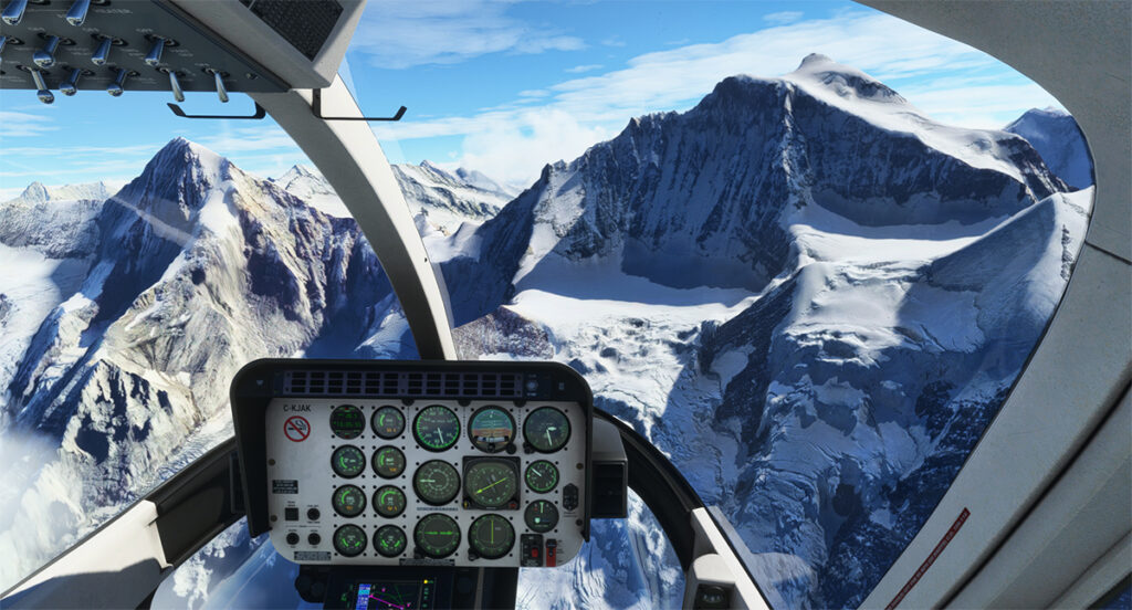
From a green landscape in the summer one gradually flies towards the eternal snow of the highest peaks in the Valais.

Getting closer to the Jungfraujoch, Switzerland.

The scenery was spectacular on the train and it is just as spectacular in virtual flight. A mechanical problem with the helicopter in this environment of grandiose cliffs would leave little chance for the pilot.

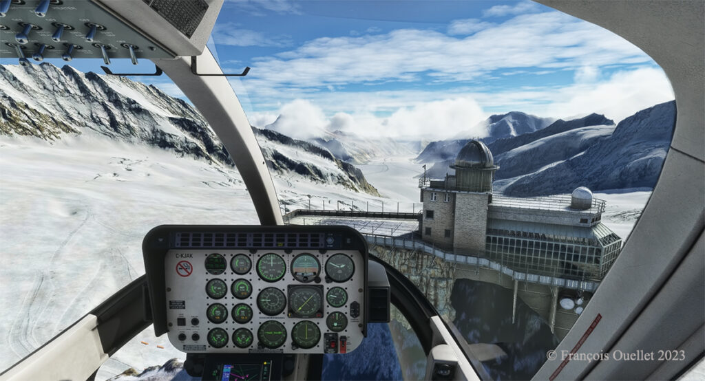
Approaching the Sphinx Observatory on the Jungfraujoch, Switzerland.

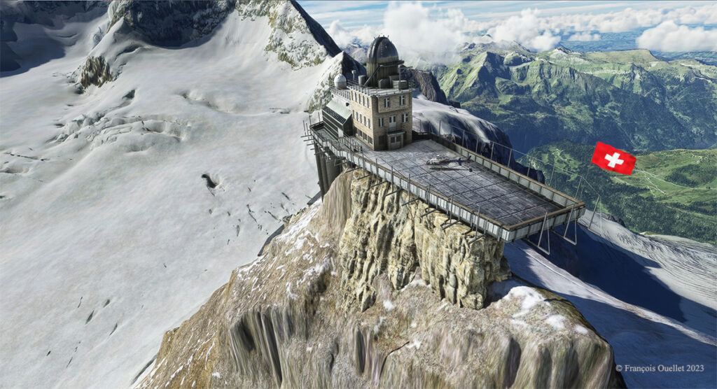
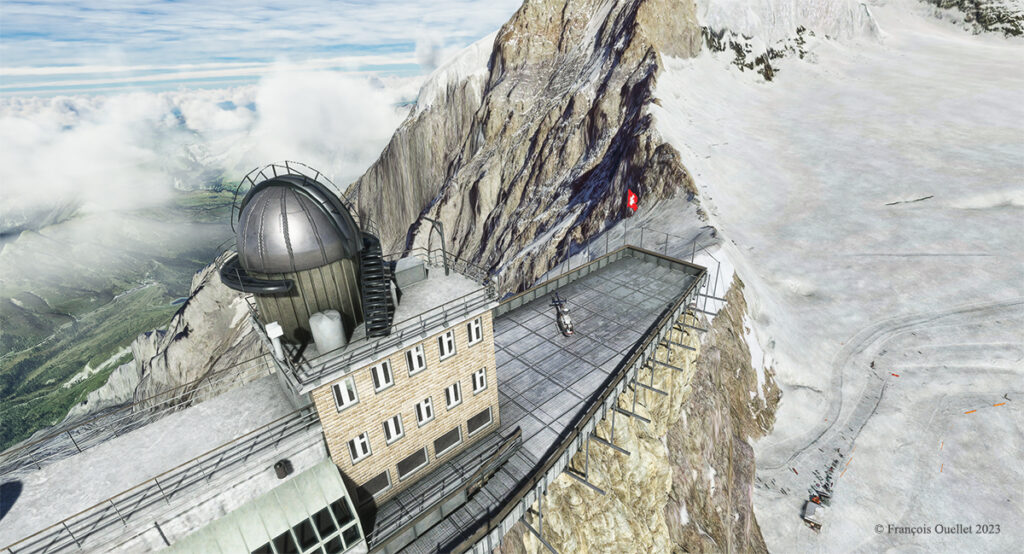
Here we are on approach: it is possible to land on the platform of the Sphinx observatory, but the pilot needs to be prepared for wind shear and unforeseen clouds at this altitude while taking care during the approach to avoid touching the flagpole and the protective fences surrounding the platform.

The Sphinx observatory on the Jungfraujoch with the Bell 407 helicopter on the platform using Microsoft Flight Simulator.

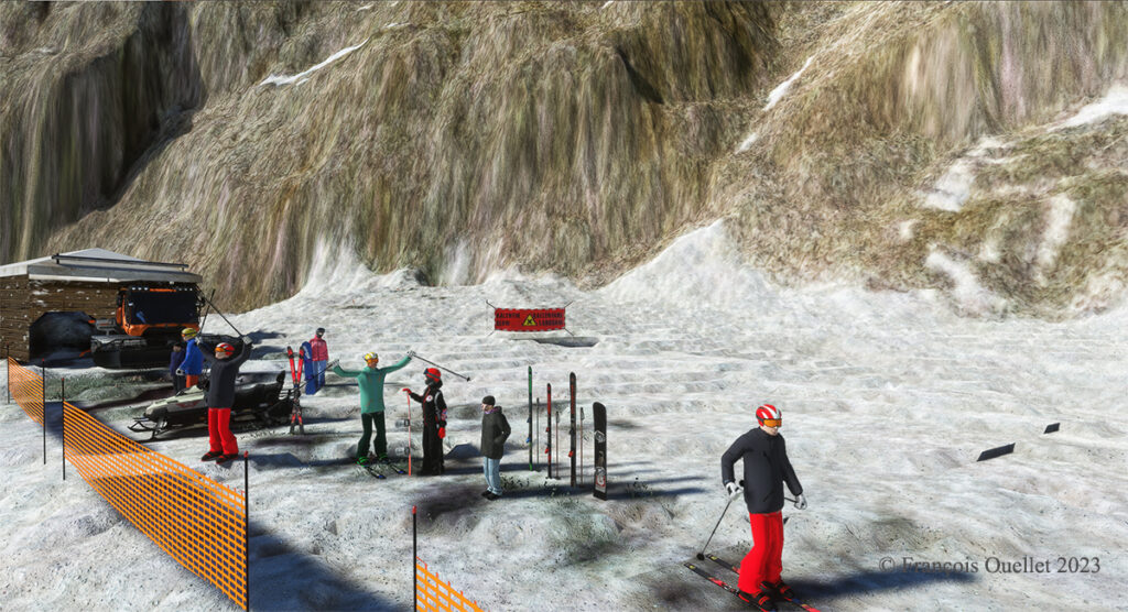
The Red Wing Simulations company has done an outstanding job designing this virtual scenery. In the photo below, you can even see skiers at the bottom of the cliff warming up before their first run.

Red Wing Simulations skiers at the base of the Jungfraujoch observatory on Microsoft Flight Simulator.

Even if the virtual scene includes something other than Lauterbrunnen and the Jungfraujoch, the pleasure of making a successful approach on the Sphinx platform alone is worth the cost of acquiring the software.

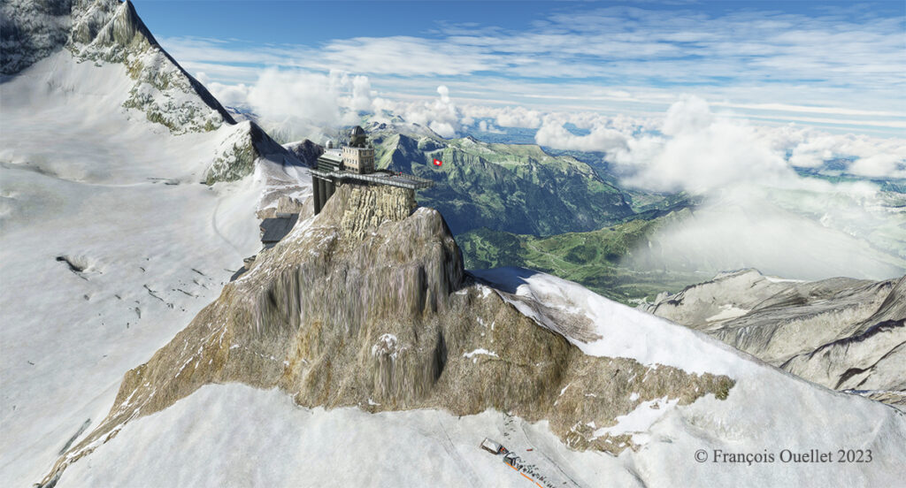
The Sphinx observatory on the Jungfraujoch and the helicopter on the platform using Microsoft Flight Simulator
Microsoft Flight Simulator and Red Wing Simulations representation of the Jungfraujoch Observatory platform.

Click on the links for more challenging virtual flights or flight simulation information on my blog.
Categories
Flight Simulation

Challenging virtual flight in Idaho using MSFS 2020

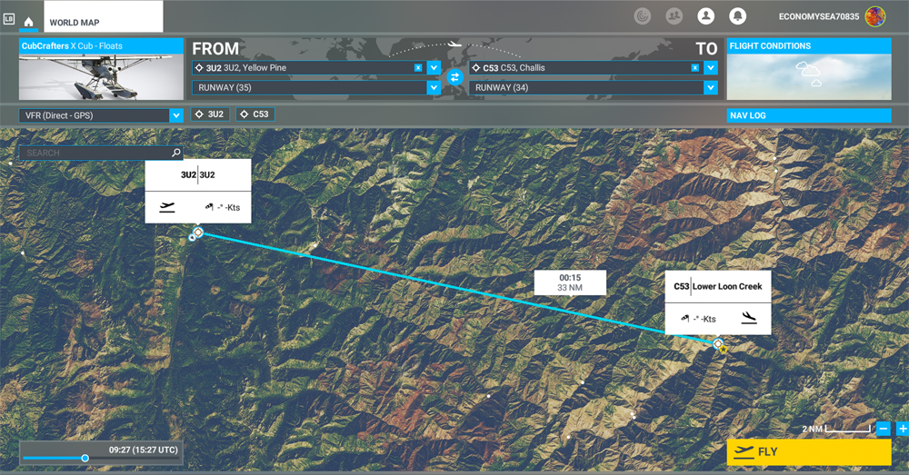
MSFS 2020 map for the flight 3U2 to C53 in United States

The challenging virtual flight is from Johnson Creek Airport (3U2) to the Lower Loon Creek Airstrip (C53) in the United States, using the MSFS 2020 flight simulator. The software map shows the type of aircraft chosen, a CubCrafters X Cub on floats, as well as the trajectory over the Idaho mountains.

The idea of using an amphibious aircraft for this flight is a bit far-fetched, but the goal is to make the pilot’s job a little more difficult by adding weight to the aircraft.

Johnson Creek (Yellow Pine) airport 3U2 with MSFS 2020

Johnson Creek Airport (3U2) is a creation of Creative Mesh. It is charming, with tents here and there planted near the planes. The runway is 3480 feet long by 150 feet wide. It is oriented on a 17/35 axis and still quite high at 4960 feet above sea level (MSL).

Amphibian CubCrafters X Cub ready for departure at the Johnson Creek 3U2 virtual airport with MSFS 2020.

Given the departure altitude, one must not forget to adjust the air/fuel mixture so as not to lose power on takeoff, especially since there is a mountain at the end of the runway and the floats increase the weight of this small aircraft. The air is also thinner as the flight takes place in summer and at a high altitude; this represents another obstacle to the aircraft’s performance.

Avoiding obstacles after take-off from the 3U2 Johnson Creek virtual airport using MSFS 2020.

The mountains near the runway present a significant obstacle. The virtual pilot must use the best possible angle of climb without worrying about the route recommended by the GPS. The flaps are kept slightly extended during the initial climb.

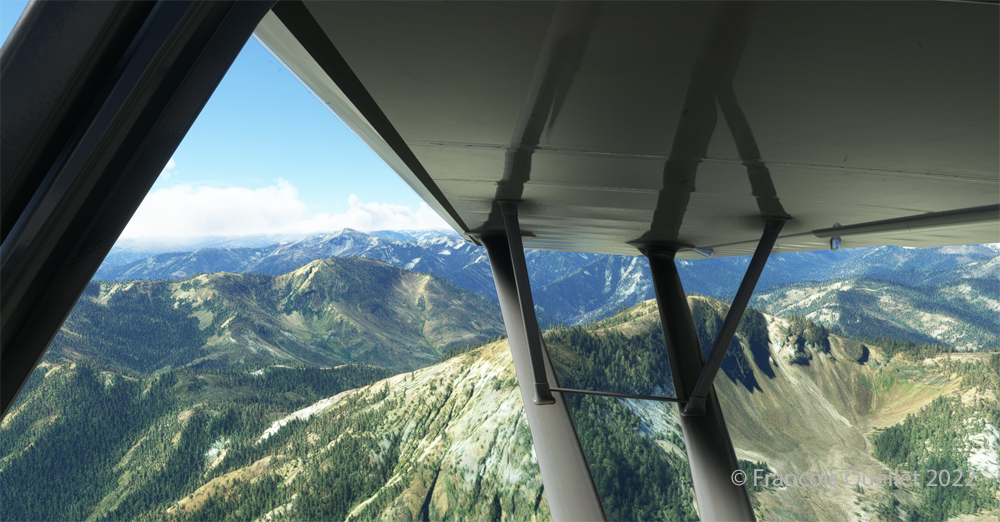
Flying over the Idaho mountains in flight simulation with MSFS 2020.

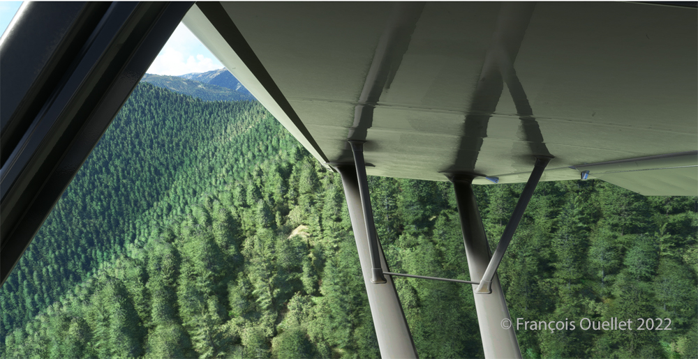
Once at a safe altitude and back on the GPS suggested route, the view of Idaho’s spectacular mountains is more enjoyable. Throughout the climb, the air-fuel mixture and altimeter (“B” on MSFS 2020) have to be adjusted.

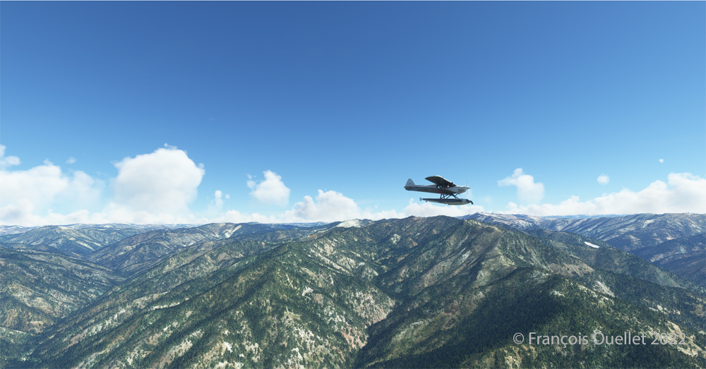
CubCrafters X Cub floatplane over the Idaho mountains in flight simulation MSFS 2020

An altitude of almost 10,000 feet ASL makes it possible to fly over the mountains without risk of collision.

Descending in the valley towards the ID8 Marble Creek airport in Idaho in fligh simulation.

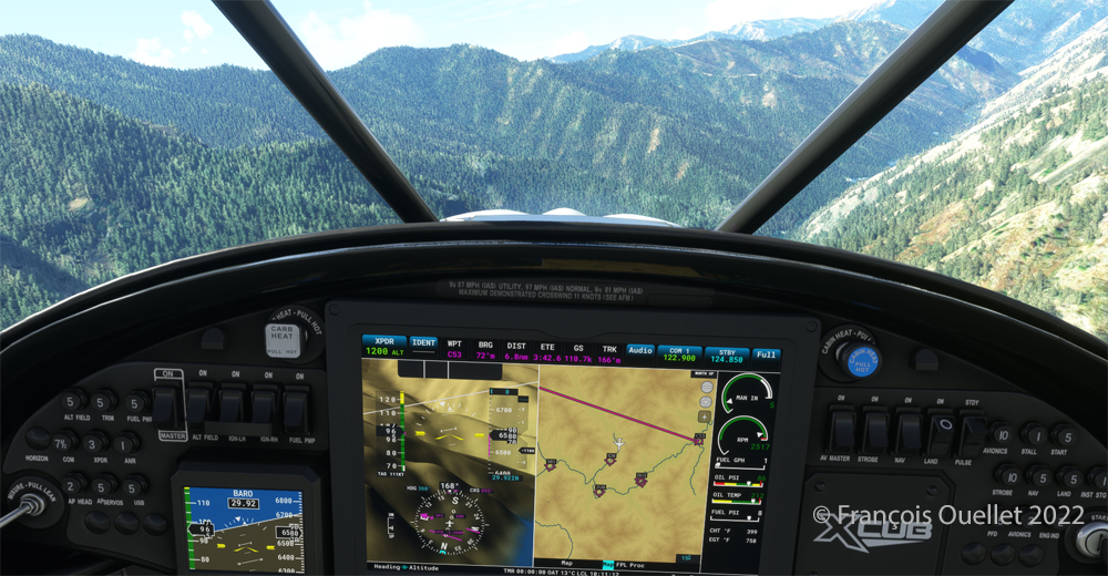
At the right moment, when the small surrounding airports and the river appear on the GPS, we leave our GPS road, until now in straight line, and we align in the valley to fly over the river until our destination, avoiding the surrounding mountains. In the photo above, the descent has already begun, with a necessary gradual adjustment of the air-fuel mixture.

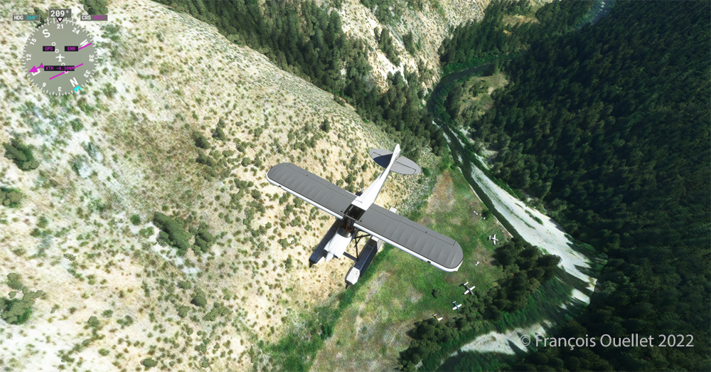
Flying over the (ID8) Marble Creek airport in Idaho using the MSFS 2020 flight simulator.

We fly over a first small airport. The picture above shows the planes parked on the runway of Marble Creek airport (ID8), which dimension is 1160 x 20 feet. For those which would be interested in trying a landing there, the orientation of the runway is 03/21 and the altitude of 4662 feet MSL.

Flying over the 2U8 Thomas Creek Airport in Idaho using the MSFS 2020 flight simulator.

On the way towards our final destination, we also fly at low altitude over the Thomas Creek (2U8).

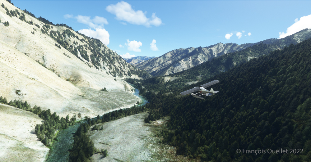
Following the river towards the C53 Lower Loon Creek airstrip using the MSFS 2020 flight simulator.

The mountains on either side of the river require close attention, as the poor performance of a small aircraft equipped with floats does not allow for easy correction of navigational errors.

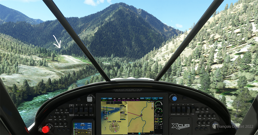
By the time the runway suddenly becomes visible, the plane will not be on course but 90 degrees off the ideal course. It will be necessary to quickly turn left into the valley, make a fairly sharp 180-degree turn to the right to avoid the mountains, and then get back on course to land. It is only at this point that the landing gear will be extended.

On final for Lower Loon Creek airstrip with MSFS 2020

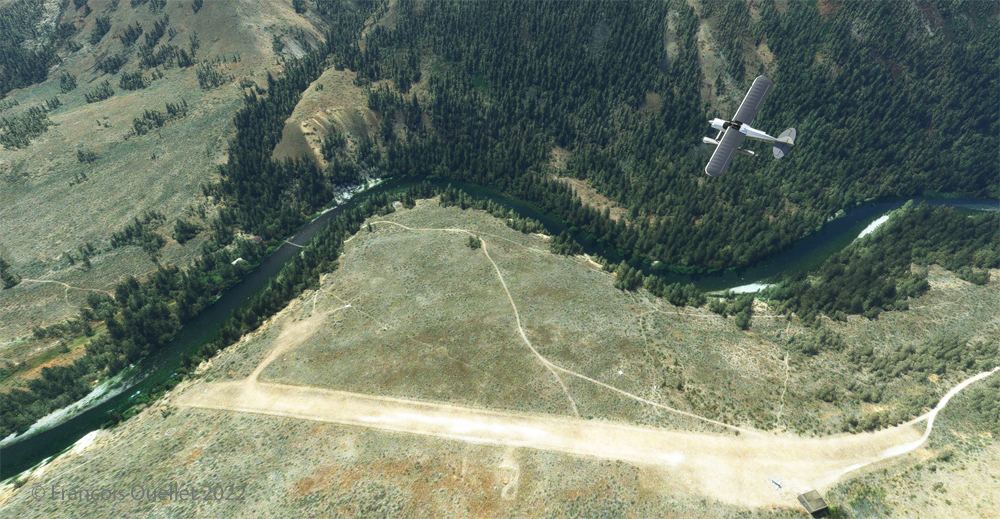
The photo above shows the aircraft on final for the Lower Loon Creek dirt and grass runway (C53). It is located at 4084 feet MSL and is only 1200 feet long by 25 feet wide. Note that the approach should be made on runway 16 when possible.

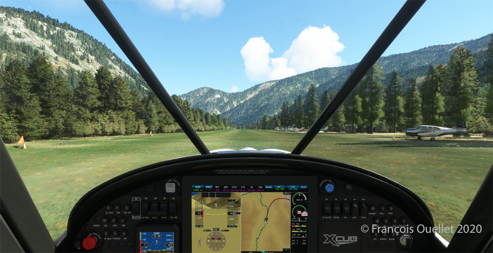
Amphibian CubCrafters X Cub rolling down the C53 Lower Loon Creek airstrip in Idaho after landing.
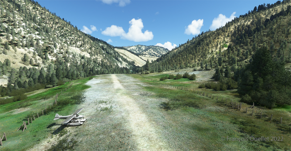
As always, a stabilized aircraft on final makes landing easier, regardless of the conditions.

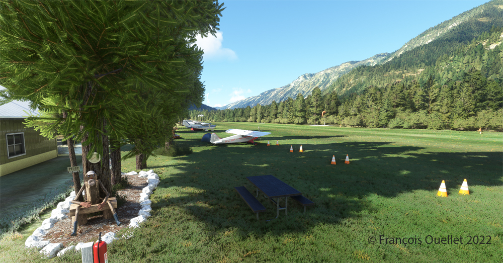
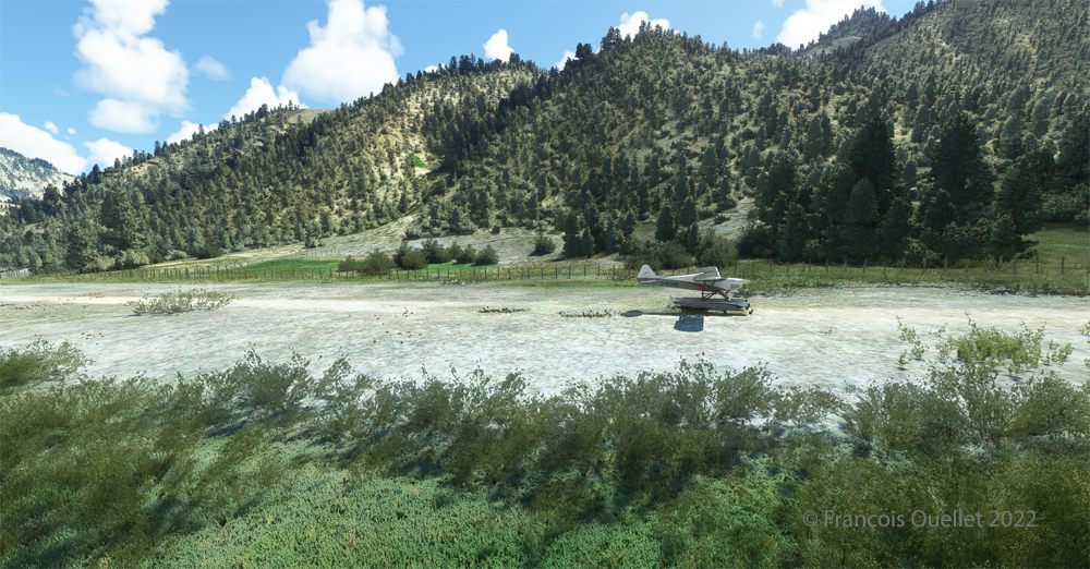
Amphibian CubCrafters X Cub parked at the C53 Lower Loon Creek airstrip using MSFS 2020 flight simulator.

We park the plane and rest a bit. Today, there is no one else here. But that’s not always the case in real life, as this video of a landing at Lower Loon Creek shows it.

Click on the link for more challenging virtual flights on my blog.