Categories
Photos of Quebec

Sea kayaking on Île d’Orléans

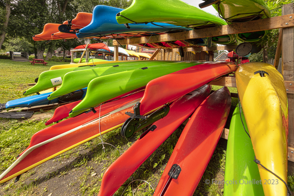
Sea kayaks at Saint-Laurent-de-l'Île d'Orléans 2023
Sea kayaks at Saint-Laurent-de-l’Île d’Orléans 2023

On Sunday, September 24, 2023, the company Quatre Natures   organized a certified level 1 sea kayaking course the St. Lawrence River, starting from Île d’Orléans. As registration was done well in advance, we had to be a bit lucky during the activity, as it would take place as much in good weather as in bad.

So, I take a chance. Fortunately, an incredible day awaits the six students: full sun and twenty degrees Celsius. How should we dress for the circumstances? We know that the human body temperature is 37 degrees Celsius. The kayaker adds up the water and air temperatures and compares the total to the temperature of the human body. With the river that day at 18 degrees and the air around 20 degrees, this gives a total of 38. As this figure is slightly higher than normal body temperature, we can wear normal clothing for water activities, rather than a wetsuit.

The morning is used to cover theory. No one sets foot in the water. The instructor discusses what the kayaker must have on board, the relative quality of different equipment, preparation, communications and radio frequencies, safety and hypothermia prevention, and so on.
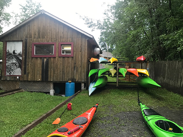
Sea kayaking activity at l'île d'Orléans (photo Vadym Kravchenko)
Sea kayaking activity at l’île d’Orléans (photo Vadym Kravchenko)

After lunch, the kayaks are placed on the lawn and the vocabulary related to each part of the kayak is learned. The student then settles into the kayak and learns how to adjust the footbraces, hold the paddle, install the spray skirt, and so on. The boats are then brought to shore and kayaking begins.

First, we learn the basic maneuvers. How to embark and disembark, the trajectory the paddle should follow in the water depending on whether you want to go forward, backward or turn. We discuss the correct position of the body, arms and wrists on the paddle, and the importance of rotating the pelvis to force the paddle properly. We quickly realize the influence of side winds on the kayak, especially when it has no centerboard or rudder.

The river is considered level 2 for kayaking. The current is strong, and we have to deal with three-metre tides. The wind around the island is also stronger than in Quebec City. Level 1 kayakers are encouraged to seek out Level 1 locations to gain experience, and never to set off alone at this stage of their learning process.

During the exercises, you can see the container ships and the various pleasure boats offshore. The larger vessels generate waves that take between five and ten minutes to reach the shore. When these approach, the instructor warns novice kayakers to turn to face the wave, so as to limit the effects on the boat.
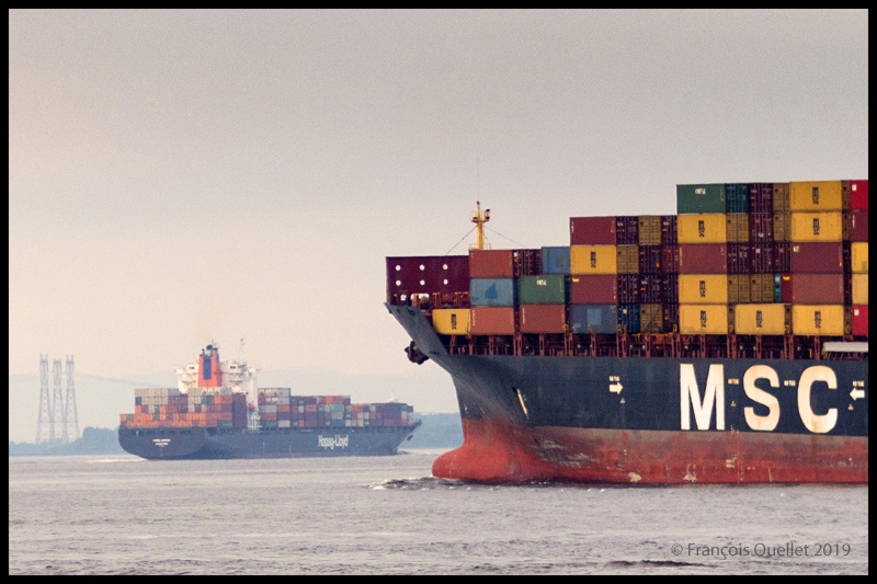
The container ship Hapag_Lloyd Quebec Express and the container ship MSC Paola are sailing around Île d'Orléans near Quebec City.
The container ship Hapag_Lloyd Quebec Express and the container ship MSC Paola are sailing around Île d’Orléans near Quebec City.
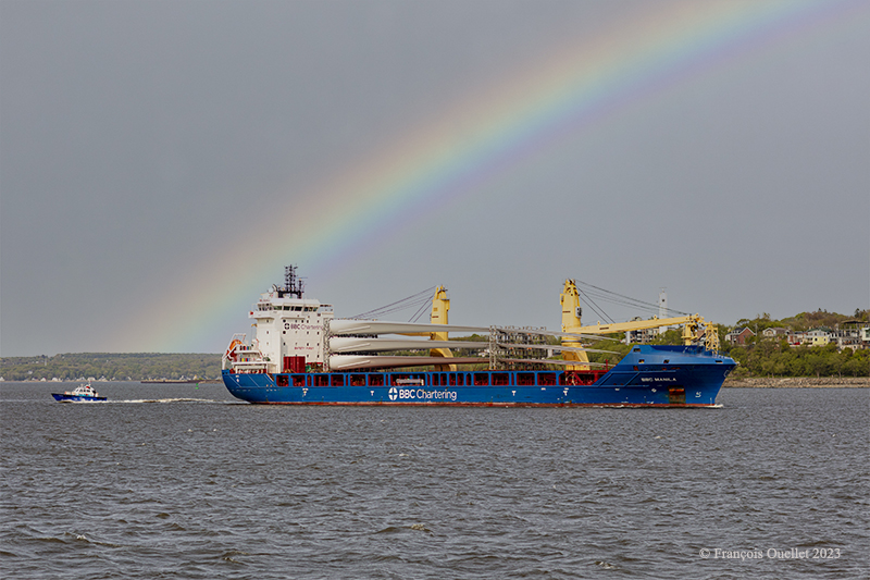
The BBC Manila carries wind turbine blades on the St.Lawrence Seaway near Quebec City.

Then come the emergency maneuvers: what’s the procedure for getting out of a kayak that’s just capsized? How do you help someone who has capsized?

I didn’t have time to get to this stage of the course. I capsized before. I don’t remember how I managed to extricate myself from the kayak and get back to the surface, but we’re not talking about an approved method here. The brain immediately detects the danger and organizes itself so that the body gets out of the kayak and the head doesn’t stay underwater for too long.

In the minutes that follow, the instructor teaches us how to perform the classic exit from a capsized kayak. We work in pairs. At Level 1, there’s no question of using the paddle to force the kayak to turn.

To obtain KDM 1 certification, everyone must lean sideways so that the kayak tips over. Once submerged, the student leans forward, unhooks the spray skirt attached to the kayak, and slowly taps the kayak’s hull three times to signal that he is in control of what he is doing. The instructor wants to avoid unpredictable reactions. We then push ourself out of the kayak by placing our hands at hip height on the coaming. As soon as we are out of the water, it’s imperative that we hold on to our kayak, thanks to the lifeline. It only takes a few seconds. Here and there, you can hear a little coughing as the student surfaces, but nothing more. A good sip of St. Lawrence River boosts the immune system.

Next comes the recovery of the person in the water. As we work as a team, the kayaker in difficulty clings to the front of our kayak and stays there until we catch up with his or her kayak, lift it onto our boat, empty it of water, turn it over and position it correctly.
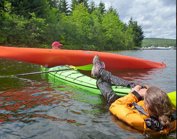
Sea kayaking course level 1 with Quatre Natures (photo Quatre Natures)

The person clinging to the kayak then releases his or her grip, and depending on the method taught, climbs back into the boat while the latter is being held securely. The important thing here is to keep the center of gravity as low as possible. If the person doesn’t hurry and proceed step by step, the operation is a success every time. 

A few more exercises follow, and it’s back to the beach on Île d’Orléans a few hours later. Once all participants have dried off and put on their warm clothes, the course concludes with a few weather notions, including the need to consult weather forecasts and radars, and to return quickly to shore when storm cells are present.

We also cover tide calculation (rule of 12) and how to attach a kayak to a car roof. How many attachment points? What equipment is available to make the job easier? Where should harnesses go to avoid breaking the kayak? Etc.

The KDM 1 certificate is awarded approximately eight to nine hours after the start of the course, depending on the instructor’s assessment. I noticed that on the way home, in the heat of the car, I really didn’t feel like rushing on the road. But you quickly come back to reality when you see how fast the cars are coming up behind you.

In short, a full day to remember!
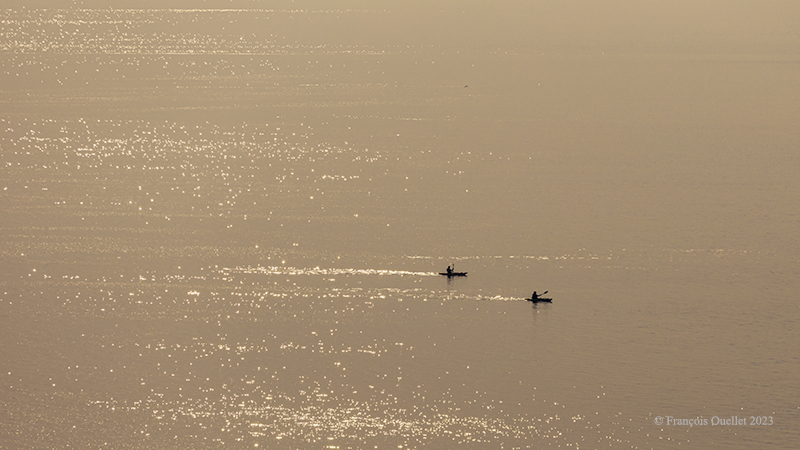
Sea kayaking on the St.Lawrence Seaway near Rivière-du-Loup

Click on the link for Autumn photos of Quebec City and Île d’Orléans on my blog.
Categories
Flight Simulation

A radical way of dealing with crosswinds in flight simulation.

There is no aircraft in the sky around the Port Moresby Jacksons (AYPY) virtual airport today. No aircraft in the sky but one, a medevac flight.

Arrival of the Medevac towards the Port Moresby Jacksons (AYPY) airport. The winds forbid a normal landing.

The winds blow from 240 degree at 50G60 kts and the runways are oriented 14/32. It is way above the maximum crosswind authorized for any aircraft.

But the Shrike Commander’s crew cannot wait until the wind calms down. They must land in the next few minutes in order to save a patient’s life.

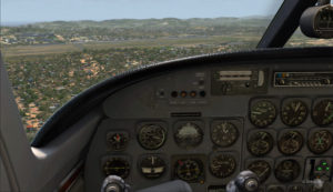
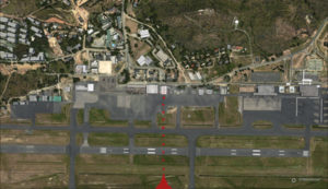
The Port Moresby Jacksons (AYPY) is in sight in the center top of the screen capture.

As there is no traffic around, the captain has told ATC he intends to do a safe, efficient but non-standard approach.

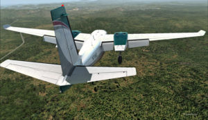
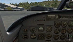
The aircraft is gradually positioned to arrive in a straight line for the AYPY hangar.
The aircraft aligns itself to face the wind blowing across the runways.

Arriving straight across the runways, facing the wind, the crew intends to land the aircraft a few feet short of a hangar. The captain requests that someone opens the hangar doors right away. The captain will terminate the approach in the hangar, protected from the wind.

Trajectory of the Shrike Commander 500S towards the hangar at the Port Moresby Jacksons airport. The hangar door has been open for the arrival.

It is safer to arrive facing the wind and immediately enter the hangar, straight ahead. No taxiing with a 60 knots crosswind.

Useless to say, ATC has already refused the request. But the pilot is the only one who decides of the best landing surface, for the safety of the passengers and himself. He proceeds with the approach after having clearly indicated which path will be followed.

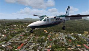
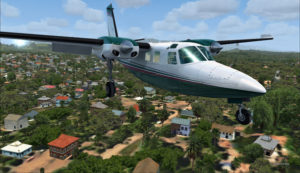
The Shrike Commander 500S over the houses near the Port Moresby Jacksons airport.

The main problem for the approach is the low level mechanical turbulence caused by the gusty 60 kts winds.

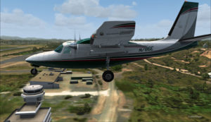
If ATC wants to file a complaint, now is a good time to take a picture of the aircraft and its registration to support the case.

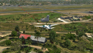
Flying by the AYPY control tower.

The actual ground speed of the airplane is around 20 kts.

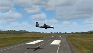
The Shrike Commander 500S approaching across the runways at the Port Moresby Jacksons airport. The winds blow from 240 degree at 50G60.

The steady high wind speed is actually safer for the crew than if the winds were 240 at 35G60.

Ground speed of about 20 knots for the Shrike Commander 500S on final for the Port Moresby Jacksons hangar (AYPY).

Still a bit above the runway and with a 10-20 knots ground speed. The airspeed indicator shows the strength of the wind itself plus the ground speed.

Indicated airspeed 70 knots.
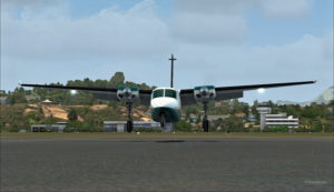
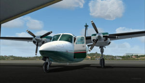
Frontal view of the Shrike Commander 500S about to land in front of the hangar at AYPY.

Floating like a hot air balloon or almost!

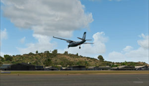
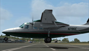
Side view of the Shrike Commander 500S on final for the Port Moresby Jacksons airport's hangar.
Side view of the Shrike Commander 500S on final for the Port Moresby Jacksons airport’s hangar.
The Shrike Commander will soon land in Port Moresby Jacksons.

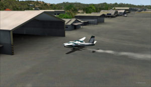
As the aircraft touches the ground, it stops almost immediately. It is necessary to apply power to reach the hangar, as you can see with the white trail on the ground behind the aircraft.

In real life, the touch-down would have had to be as soon as the asphalt start since the presence of the hangar lowers the wind speed a bit.

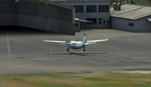
The Shrike Commander lands a few feet before the hangar. Additional power is mandatory to reach the hangar.

A few seconds after the touch-down, the aircraft is in the hangar, protected from the wind, and both doctor and patient can quickly head out to the hospital.

The Shrike Commander 500S in the hangar at Port Moresby (AYPY).

Once in the hangar, the winds were adjusted to zero, which is kind of logical, unless the opposite wall is missing!

View of the Port Moresby Jacksons (AYPY)

It was now time to brace for another storm, which was the inquiry that would possibly follow the landing!

(P.S.: Tim Harris and Ken Hall were the creators of this virtual Port Moresby Jacksons international airport) and it is sold by ORBX. The aircraft is sold by Carenado).

Click on the link for more unhinged virtual flights on my blog.

Categories
Real life stories as a flight service specialist (FSS): Inukjuak FSS

A kitchen used as a navigation aid to aviation in Inukjuak

(Precedent story: the UFO invented in Inukjuak in 1983)

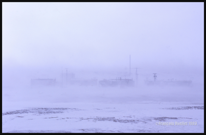
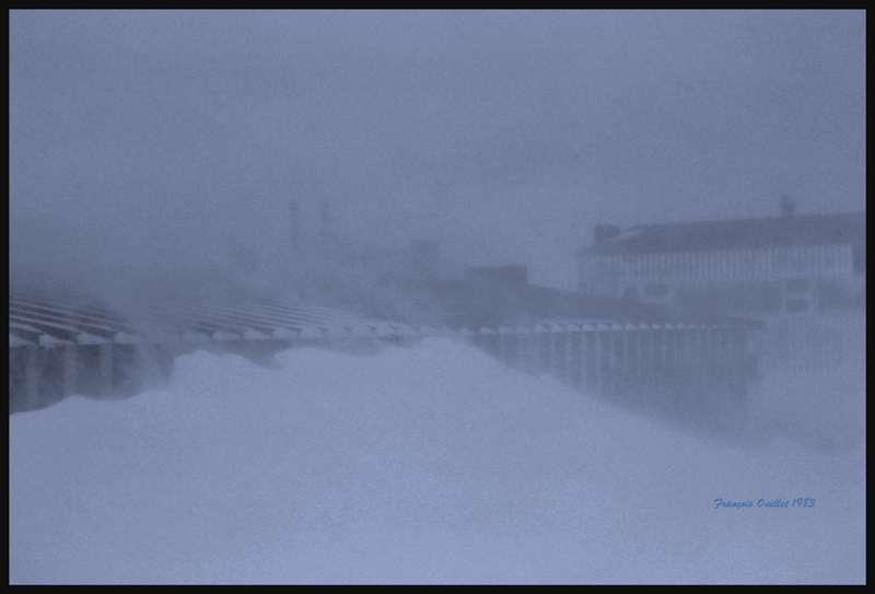
Inukjuak during a blizzard that forbid landings for days.

The winter 1982-1983 was fierce in Inukjuak (CYPH), in the Nunavik. There was a period when the winds were strong enough and the visibility reduced to the point that a rope had to be attached between the staff house and the flight service station. A Transport Canada flight service specialist (FSS) had to hold a rope to guide himself from one building to the other. And good luck to the FSS who would try to carry his meal on a tray between both buildings. A hand held the rope while the other one took care of the tray which was going in all directions. On one occasion, tray and food found their way in the snowbank.

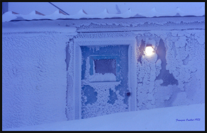
Due to strong sustained winds, snow sometimes reached the roof top of the Inukjuak flight service station.

After a storm which seemed endless, I remember that the employees had to dig steps in the hardened snow in order to reach the flight service station door.

We sometimes had to dig in the snow to free the door and enter in the Inukjuak flight service station

This blizzard, which lasted twelve days, had prevented any takeoff and landing. There was no more milk for sale in the Inuit village, as it was now reserved for children. Hardly one hundred feet over us, there was a perfectly blue sky, according to the pilots who had tried to land on multiple occasions. But one morning, an Austin Airways pilot decided to risk an approach.

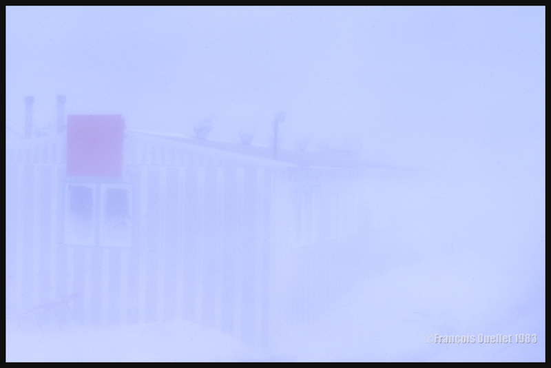
A red square was useful to help the employees find a building during a blizzard in Inukjuak.

The pilot could not benefit from any precise navigation aid during his approach, as the airport was only equipped with an NDB. So he trusted his local knowledge and what was left of his judgment. He knew that the staff house was painted green and situated just beside the runway. I guess that he prepared himself to aim for the colored staff house then make a sharp turn at the last minute. He dived into the storm, estimating the wind drift as much as he could.

At that same moment, our cook was working in the staff house’s kitchen. He was facing a huge bay window and was stunned to suddenly see the nose of a Twin Otter appear a few meters away from the window at the same time as a steep turn was being made to avoid the building. Reverse thrust was immediately applied to immobilize the plane as fast as possible. The cook repeated what he witnessed to every employee. I guess that helped him to unwind a bit.

As this was not enough surprise for the day, the plane’s doors opened and, instead of the much needed milk cargo expected by the villagers, we witnessed about ten passengers stepping out the plane and chitchatting like nothing ever happened. This unorthodox approach to the Inukjuak airport would now be one more story added on top of all the others told by pilots offering daily air service to northern Quebec villages along Hudson Bay and Ungava Bay coasts.

(Next story: the cockpit of a KLM Boeing 747 during a night flight over the Atlantic)

For more real life stories of a FSS in Inukjuak, click on the following link: Flight service specialist (FSS) in Inukjuak