Categories
Flight Simulation

Losing four engines on a C-130 Hercules in flight simulation

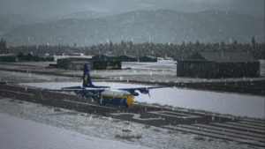
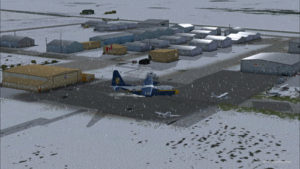
A virtual C-130 belonging to the Blue Angels is taxiing at the High River airport, in Alberta.

Wanting to add an almost impossible flight in the “unhinged virtual flights” section of my web site, I tried a flight with the Blue Angels C-130 Hercules (Captain Sim) where the aircraft gradually lost all of its engines.
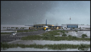
The Blue Angels C-130 Hercules waiting in line behind a single engine aircraft at the High River airport.

I am aware that the Blue Angels mechanics are real professionals, so I assumed that the engine failures were caused by an unknown reason.
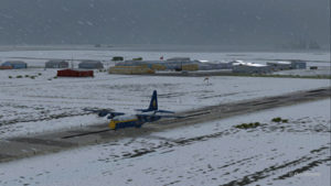
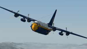
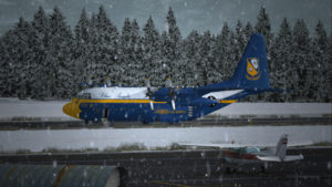
A virtual Blue Angels Lockheed C-130 Hercules takes-off from the High River (CEN4) Canadian airport in Alberta.

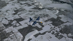
The take-off was made without problem from the Canadian High River (CEN4) airport. This free airport was designed by Vlad Maly and is available through ORBX. The aircraft leaves the 4150 feet runway heading to the Coeur d’Alène airport (KCOE) in United States.

Eventually, the first engine stops. This does not cause a problem. The propeller is feathered and the gradual climbing continues.

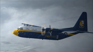
The C-130 Hercules loses its first engine.

The second engine stops. The pilot must forget the initial destination. Bonners Ferry (65S) becomes the alternate airport since the 4000×75 feet runway is good enough for the C-130.

The second engine has just stopped on this C-130 Hercules.
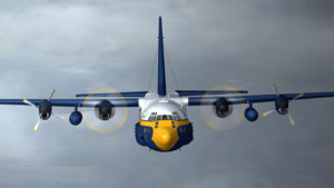
Double engine failure for this virtual Blue Angles C-130 Hercules.

The third engines gives way. A slow descent starts. Bonners Ferry is not very far. The airport is at an altitude of 2337 ft asl.

The aircraft is volontarily flown at a higher altitude than what would normally be requested for a normal approach, just in case the fourth engine stops. When three engines stop after the same refueling, the pilot has the right to think that what feeds the fourth engine can also cause problems.

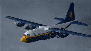
Three engine failures on this virtual Blue Angels C-130 Hercules.

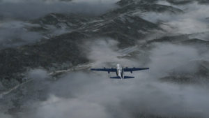
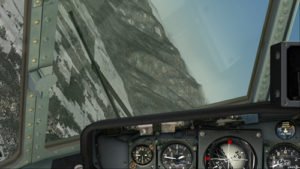
The highest mountains are now behind the aircraft.

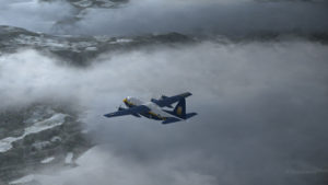
Virtual C-130 Hercules aircraft with three engine failures enroute to the Bonners Ferry airport.

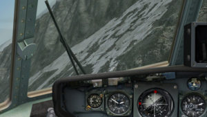
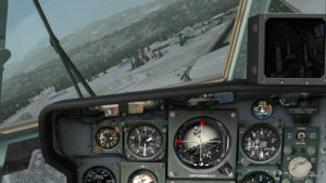
The Bonners Ferry (65S) runway is in sight.

Virtual C-130 Hercules aircraft with three engine failures, by the Bonners Ferry's runway.
Virtual C-130 Hercules aircraft with three engine failures, by the Bonners Ferry’s runway.

The fourth engine stops. The flaps will not be functional for the landing.

From now on, the pilot should save the virtual flight a few times since it is possible that several trials will be necessary to glide sucessfully to the airport. This is the fun of virtual flight.

The four engines have now failed on that virtual C-130 aircraft.

The C-130 Hercules has become a big glider. When the speed is maintained, the aircraft loses more 1000 feet per minute. It is easier to feel the aircraft’s inertia.

The wheels will be brought out only when necessary since the gear adds a lot of drag.

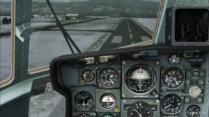
From the position indicated in the picture below, it is impossible to arrive to the airport in a straight line: the aircraft will glide over the airport. In the picture, the aircraft seems to be on a good path for landing, but it is an illusion caused by the wide-angle format chosen for the screen capture.

The aircraft is definitely too high. It is impossible to use the flaps to increase the rate of descent.
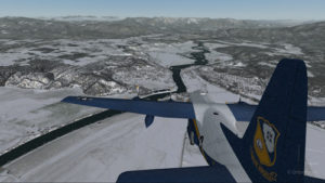
Lockheed C-130 Hercules virtual aircraft with four engine failures on the approach to the Bonners Ferry's virtual airport (65S).
Lockheed C-130 Hercules virtual aircraft with four engine failures on the approach to the Bonners Ferry’s virtual airport (65S).

One must choose between 1) sideslips 2) a 360 degree turn to lose altitude or 3) multiple steep turns perpendicular to the runway to increase to distance to the airport.

What would you choose?

There is no universal method. The 360 degree turn is riskier but can prove efficient. An Airbus A330-200 flown by Quebecer Robert Pich that had lost all of its engines landed successfully in the Açores in 2001 after attempting a last minute 360 degree turn to lose altitude. But here, I did not believe there was enough altitude to safely complete the turn and reach the runway.

A few steep turns were made to extend to ride to the airport. Why steep turns? In order to avoid getting closer to the airport before an acceptable altitude was reached. This method helped keep an eye on the runway at all times to verify if the slope to the airport was still acceptable.

Fourty degree turn to the right on the approach to the Bonners Ferry's airport.
Fourty degree turn to the right on the approach to the Bonners Ferry’s airport.
Steep turn to the left to extend the distance to the Bonners Ferry airport.

I tried the three methods, always starting from the same saved flight (photo 10). After several sideslips, the aircraft was always approaching the airport too quickly. There was not enough time to lose altitude. The final speed always happened to be too high to stop a C-130 without flaps or thrust reversers.

The 360 degree turn, be it right or left, with different angles and a reasonable speed, always incurred a loss of altitude that brought the aircraft 200 to 300 feet short of the threshold.

Finally, after a few steep turns, the aircraft was positioned on final with the appropriate speed and altitude.
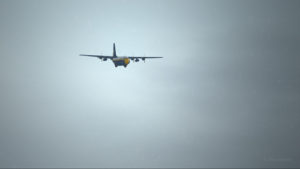
View of the Lockheed C-130 Hercules with four engine failures, on the approach for Bonners Ferry (65S).

A few last seconds adjustments, to reposition the aircraft in the center of the runway.

Speed 150 knots. End of the turn for the Bonners Ferry's airport.
Speed 150 knots. End of the turn for the Bonners Ferry’s airport.

At 140 kts, but without any reverse thrust, the whole runway should be necessary to stop the aircraft.

Speed 140 knots, aligned with the Bonners Ferry's runway.
Speed 140 knots, aligned with the Bonners Ferry’s runway.

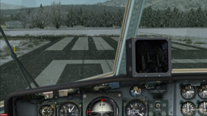
The landing was smooth and the aircraft stopped short of the threshold.

For an unknown reason, the anemometer was still indicating a 10 kts airspeed, even when the aircraft had stopped.

C-130 cargo aircraft on the Bonners Ferry's runway.
C-130 cargo aircraft on the Bonners Ferry’s runway.
Lockheed C-130 Hercules virtual aircraft after landing at the Bonners Ferry (65S) airport.
C-130 Hercules aircraft in Bonners Ferry.

Try such a flight in the virtual mode. The worst that can happen is that you have fun!

For more near impossible flights, head to:
Unhinged Virtual Flights

Categories
Flight Simulation

Flight simulation: FSX, FSGRW and REX combined for this virtual flight

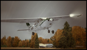
C182T airborne from the Parry Sound airport in Ontario, Canada.

In order to celebrate autumnal colors, here is a screen capture of an A2A Simulations C182T Skylane airborne from the Parry Sound (CNK4) airport in Ontario, Canada.

The airport was created by Vlad Maly, for ORBX. FSGRW was the weather engine used to follow the actual weather around Georgian Bay. REX Texture Direct was used for the cloud textures.

The screen capture of this virtual flight was slightly retouched by means of a photo software in order to add a bit more intensity to the autumnal scene.

For more articles on flight simulation on my web site, click on the following link : Flight simulation

Categories
Flight Simulation

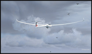
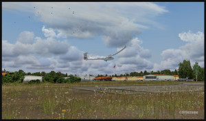
Flight simulation: gliding with the DG-808S over Canadian lakes and forests.

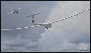
The link is finally cut between the plane and the DG-808S glider (fsx)

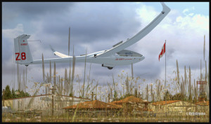
In the « flight simulation » section, under « challenging virtual flights », you will soon find screen captures representing the DG-808S glider built by DG Flugzeugbau. The flight departed from the Parry Sound airport (CNK4) in Ontario. The scenery has been created by Vlad Maly, from ORBX.

A DG-808S glider in flight with birds (fsx)

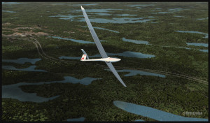
The command CTRL+SHFT+Y will allow an aircraft to appear and a cable to be installed between the aircraft and the glider. It is more demanding to do gliding operations in the Parry Sound region because if the pilot gets far enough from the airport, he leaves behing many options to help him land easily in case of difficulties. There are not many fields or roads. There are mostly lakes and forests. The view is interesting, but you fly with the feeling that there is really no plan B. If the glider must go down, chances are it will find itself either in water or on the top of trees.

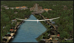
Glider DG-808S turning base for the Parry Sound airport (fsx)
Glider DG-808S over Robert's Lake (fsx)
Glider DG-808S over Robert’s Lake (fsx)

The DG-808S can reach a speed up to 146 kT and has a gliding ratio of 5o :1. It is a high performance glider. It can carry up to 343 pounds of water to be used as ballast. In real life, the pilot uses the necessary amount of water according to the prevailing weather conditions. If there are weak thermals, the glider will easily operate without water. If there are strong thermals, it carries the maximum amount of water in its wings to add sufficient weight.

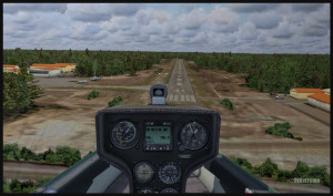
DG-808S sailplane on short final for runway 35 in Parry Sound (fsx)
Glider DG-808S over threshold 35 Parry Sound (fsx)

The flight was made using CumulusX and FSX. On final for runway 35, you will have the opportunity to fly at low altitude over Robert’s Lake and admire all the small details created to make the scenery more realistic.

A DG-808S sailplane and the Canadian flag in Parry Sound, Ontario (fsx)
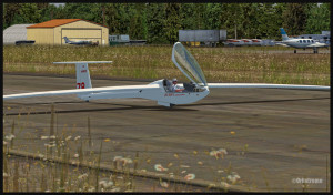
End of a DG-808S glider flight in Parry Sound, Ontario (fsx)

For more articles on flight simulation on my web site, click on the following link : Flight simulation

Good luck and have fun!

Categories
Flight Simulation

Flight simulation: Parry Sound (CNK4) to Toronto Billy Bishop (CYTZ)

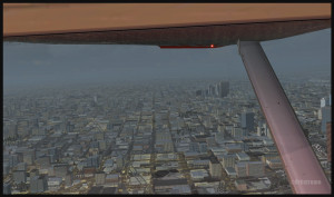
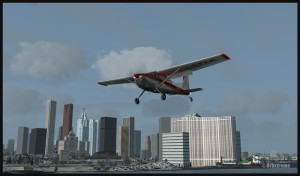
Flying over Toronto downtown shortly before the landing in Toronto Island (CYTZ)

I recently added, in the standard virtual flight section, a flight leaving Parry Sound for Toronto Billy Bishop.Here is an opportunity to learn a bit more about the Great Lakes region in Ontario. The Parry Sound airport, from ORBX, is a first creation by Vlad Maly for this province. The runway length is 4000 feet. Just beside the airport, there is a lake, Robert’s Lake (CRL8), with many cottages, floatplanes and sailboats that are visible when you select the appropriate season. The lake also offers 4000 feet for takeoffs and landings.

The actual flight has been made while the clouds were low enough that the flying altitude forbid the adequate reception of the Toronto Island (Billy Bishop) NDB (257khz) in the first half of the flight. A touch-and-go was made at Toronto International (CYYZ). MyTraffic2013 provided the airport with many AI aircrafts. Once over downtown Toronto, it was now time for Pilot’s FS Global 2010 to automatically install a maximum of buildings, for more realism.

On final for the Toronto Billy Bishop (Toronto Island) airport (CYTZ)
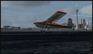
Landing at CYTZ with the CN tower in the background (FSX)

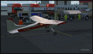
Finally, theToronto Billy Bishop (formerly Toronto Island) was modified by ORBX in order to make it more interesting and alive. You will thus find, on arrival, some staff to take care of the refueling process. Somes vehicules have also been added. Naturally, MyTraffic2013 took charge of AI aircrafts as CYTZ is quite a busy airport and needs some air traffic to enhance the realism.

Time to refuel at Toronto Billy Bishop (CYTZ)

I wish you a good flight, if you wish to try it out. I would suggest though, for a more interesting experience, that you install ORBX FTX Global Vector on your computer, as the Microsoft Flight Simulator (FSX)software does not do a good job when it comes to representing the Great Lakes area. ORBX Open LC for North America further improves the flying experience.

For more articles on flight simulation on my web site, click on the following link : Flight simulation

Categories
Screen captures

A WACO at work in Western Canada

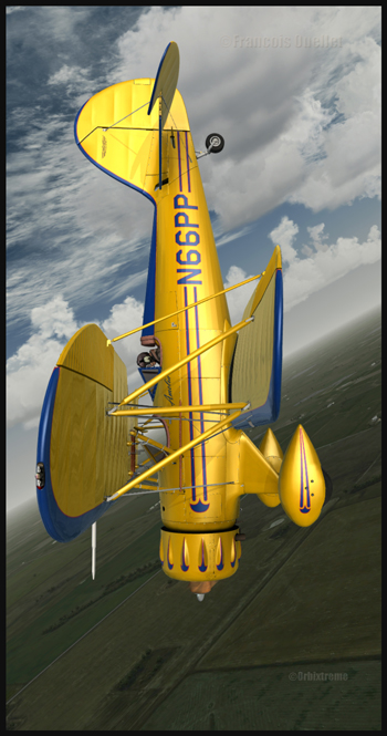
A WACO YMF5 practicing aerobatic figures over Airdrie, Alberta.

The screen capture shows an Alabeo company Waco YMF5 in action. The background scene is a creation of ORBX. FSX has been used for this virtual flight over Alberta. The Waco is easy to fly and Alabao has programmed many point of views from which the virtual pilot can take pictures in flight. ( V on the keyboard). Airdrie Airpark, Claresholm Industrial Park and High River, all created by Vlad Maly, can be found near the training area. They are all quality products. The first airport must be bought but the two others are offered as freewares by Orbx. It is an interesting point of departure for a virtual pilot who would like to cross the Rockies towards Vancouver or Victoria.