Categories
Flight Simulation

Virtual Flight and Weather Engine: OpusFSI

It used to be called OpusFSX, but that was before P3D arrived on the market. Now it is OpusFSI (a more generic name applicable to many platforms)

OpusFSI

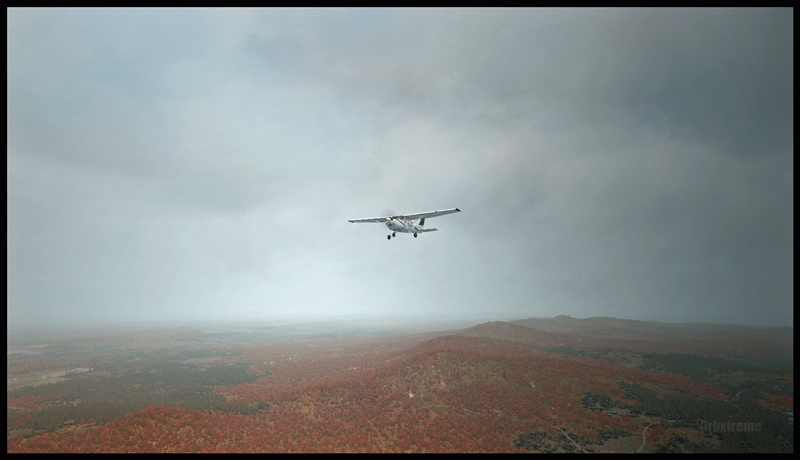
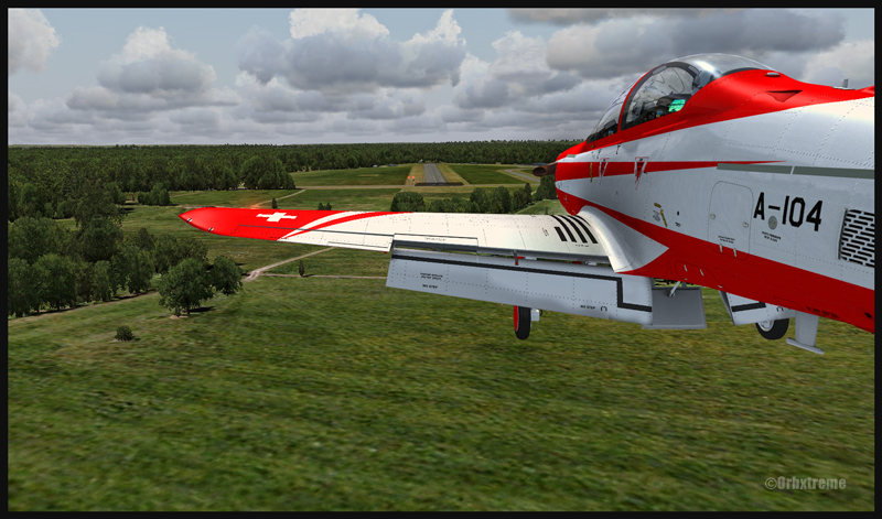
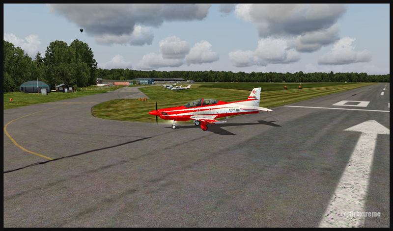
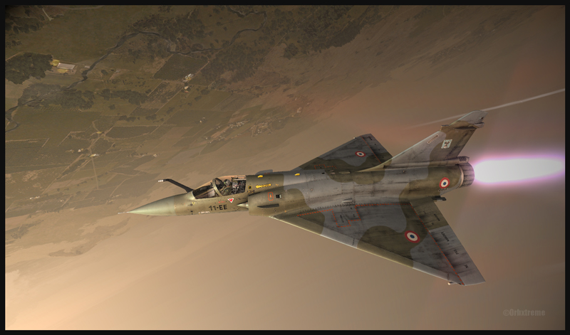
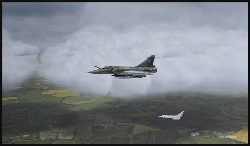
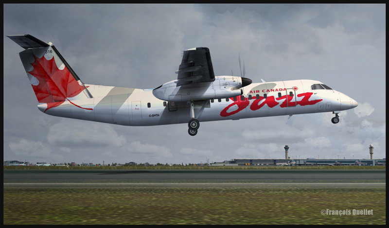
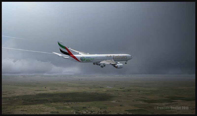
OpusFSI is a weather engine which, like FSGRWASN or REX, downloads real live weather close to your route and integrates it in your computer so that your virtual flight is always done in actualized weather. All those programs will update the data more frequently if the weather deteriorates along your flight path.

OpusFSI does not add new cloud texture sets. If you wish to fly in more interesting clouds, you need to use OpusFSI in combination with REX.

Opus works well on a network, which is practical if you want to transfer some OpusFSI functions towards a second computer to limit the use of the main computer’s resources.

OpusFSI is compatible with FSX, FSX: SE and P3D and even with TrackIR real-time 3D view controls (some files will have to be deactivated in the Program Files if you were using TrackIR before buying Opus). You have access to multiple interactive maps to check the weather or SIDs/Stars and to adjust the many options according to your taste.

OpusFSI is quite an advanced program that is well adapted to the use of virtual cockpit cameras. It replicates head movements caused by vibrations or turbulence and allows views from left to right when taxiing or turning in flight. The effects are all adjustable by the user.

If you are using many computer screens for your virtual flight, you can program each screen to show a different view (like the left and right window, for example).

OpusFSI allows you to use historical weather. The program also offers the possibility to relocate the weather over an airport towards another one. As well, you can decide to make some low clouds disappear or eliminate any obstruction to visibility when you want to have a perfect view of the territory. You can even create your own Metar.

Like for other weather engines on the market, you have access to a “flight planning mode”.

An option allows you to include turbulence and wind shear caused by the surrounding terrain within 80 kilometers of an airport.

The data generated by OpusFSI can be used directly in the PMDG B737NGX. That means you can see the real weather on the aircraft’s radar.

OpusFSI is in continual development and new functions are frequently added. They are not all mentioned in the present article.

Like for other weather engines available on the market, it is necessary for you to visit the company’s web site in order to choose the most appropriate software that will be adapted to your type of virtual flying and to the equipment that you use or intend to use in the future.

Here is the link: OpusFSI

For more weather engines, click on the following link: Other weather engines

For more articles on flight simulation on my web site, click on the following link : Flight simulation

Categories
Screen captures

Flight simulation under FSX: The A2A Simulations C182T Skylane

Flying over the Eastern Townships in Quebec under MVFR always represents a problem due to the terrain. Here is a screen capture of a flight from the Quebec international airport to the Sherbrooke airport, to show what a virtual flight looks like during autumn. The terrain has been modelized by Orbx.

A2A Simulations C182T Skylane in the Eastern Townships region in Québec

Here are the first few hills visible but, rapidly, the top of mountains will be obscured in clouds. The downloaded weather is managed by the FSGRW weather engine and the cloud textures are the result of a combination between REX Texture Direct and REX Soft Clouds. A photo software has been used to enhance the contrasts.

The aircraft is a C182T Skylane from A2A Simulations. The similarities between a real aircraft and this virtual aircraft is really unbelievable. The pilot must take care of all corrections, even the gyroscopic precession, otherwise the ADF will indicate the road to follow while the compass sends you in a totally different direction!

Categories
Flight Simulation

Flight simulation: FSX, FSGRW and REX combined for this virtual flight

C182T airborne from the Parry Sound airport in Ontario, Canada.

In order to celebrate autumnal colors, here is a screen capture of an A2A Simulations C182T Skylane airborne from the Parry Sound (CNK4) airport in Ontario, Canada.

The airport was created by Vlad Maly, for ORBX. FSGRW was the weather engine used to follow the actual weather around Georgian Bay. REX Texture Direct was used for the cloud textures.

The screen capture of this virtual flight was slightly retouched by means of a photo software in order to add a bit more intensity to the autumnal scene.

For more articles on flight simulation on my web site, click on the following link : Flight simulation

Categories
Flight Simulation

Flight Simulation: FSGRW and REX together under FSX

Icefield in sight! A screen capture realized with the following products: FSX, FSGRW, REX, and a combination of Orbx creations. Final editing with a photo editing software (slight corrections only)

The screen capture above, titled “Icefield in sight”, represents a virtual flight using the FSX platform. A combination of FSGRW and REX has been used to improve the cloud effects.

As the basic FSX program does not offer a very realistic representation of clouds, it is necessary to get better cloud sets from a third party provider. In the present screen capture, the clouds are a creation of REX, through their Texture Direct and Soft Clouds used in combination.

It is one thing to have access to realistic clouds but you also need a good weather engine. This engine will download real-weather data and, if you wish, will update it every few minutes when you fly.

Many weather engines are available. In the above picture, I used FSGRW (PILOT’S version 1.7, build 29).

To represent the mountains and the icefield, ORBX creations like SAK, Vector and Open LC Canada-Alaska were used. The DC-3 livery is available as a free download from major sites like FlightSim.com or AVSIM .

Last point: when you take a screen capture, it is possible to use a photo editing software (there are many good ones on the market) to slightly improve a particular aspect of the picture. It takes very little effort to learn how to use few basic functions that will enhance your captures.

For more articles on flight simulation on my web site, click on the following link : Flight simulation

Categories
Flight Simulation

A serious training session is mandatory with the Pilatus PC-21 before attempting a landing in Fairoaks

A Pilatus PC-21 aircraft over Shoreham, United Kingdom
Near the Fairoaks airport, United Kingdom. Flaps and gear down on the Pilatus PC-21

The IRIS Pilatus PC-21 Pro Training Series is a high performance aircraft. It is equipped with a five blade graphite propeller as well as a Pratt-Whitney PT6A-68B engine able to develop 1600 SHP. Until the PC-21 was created, there were only jet aircrafts that could provide such performance when it comes to pilot training. The PC-21’s maximum airspeed is 370 knots, its service ceiling 38,000 feet and it can climb at a rate of 4000 feet/minute.

PC-21 aircraft near the Fairoaks airport, United Kingdom

The above sequence of pictures represents a familiarization flight with that aircraft, before trying to attempt to land in Fairoaks. I have included this flight under the “flight simulation” section of the site, under “standard virtual flights”.

PC-21 turning final for Fairoaks airport, United Kingdom

The takeoff was done from Southampton and the route included Shoreham, Gatwick, Heathrow to finally end in Fairoaks. Along the route, different exercises were practiced like slow flight, inverted flight and other manoeuvers that allowed to learn the behavior of the machine under all kind of configurations.

PC-21 aircraft on final for the Fairoaks airport, United Kingdom
A PC-21 aircraft and the Fairoaks airport, United Kingdom

IRIS created that virtual Pilatus. ORBX is responsible for the Southampton, Shoreham and Fairoaks virtual airports, as well as sceneries generated by their well known Global, Vector, Open LC and Trees HD products. FSX was used for the flight. Clouds were generated by REX and CumulusX. For an even more realistic experience, UK2000 virtual airports like London Gatwick and London Heathrow could have been used since they are of excellent quality.

Pilatus PC-21 on the Fairoaks airport (FSX)

Beware of the approach in Fairoaks. There are trees near the threshold of the runway and the landing surface is relatively short, measuring only 813m (2667 feet). Flying an aircraft equipped with such a powerful engine and whose stall speed approximates 150 kmh with flaps and gear down will require much attention on the approach. It will be the difference between a successful landing or having your name in the first page of Fairoaks local newspaper the next day.

For other ideas of virtual flights that do not require a lot of experience, click on the following link: Standard virtual flights

For more articles on flight simulation on my web site, click on the following link : Flight simulation

Good luck!

Categories
Flight Simulation

The new Metal2Mesh Mirage 2000C

Metal2Mesh Mirage 2000C on a test flight over Afghanistan
Metal2Mesh Mirage 2000C and VRS Simulations weapons

The most recent creation from Metal2Mesh is a real stunner, graphically and when it comes to simulating the real aircraft. In the above picture, the Mirage 2000C is in flight over England and carries virtual armaments designed by VRSimulations (Tac Pack). The Rafale is visible in the background and was automatically generated by the computer (AI). The clouds are a combination of REX and CumulusX, for the shadows on the ground. ORBX is responsible for generating a virtual England.

Reading a minimum is necessary before you learn how to select and install the weapons, something I did not do since I was a bit too eager to do a flight test with that superb aircraft. I had to start over, but it really comes quickly and the manual provides you with clear instructions. You will need a small free program (available on page 9 of the manual, and created by Peter Dowson) in order to see the speed, altitude, etc, directly on the HUD.

For more articles on flight simulation on my web site, click on the following link : Flight simulation

Have fun!

Categories
Flight Simulation

FlyTampa Toronto: REX, Cumulus X and Alabeo R66

Here are some screen captures taken shortly after I bought FlyTampa Toronto. I am using FSX for those pictures.

A Piper over the Toronto international airport. The scenery is FlyTampa Toronto and the clouds are generated by REX
FlyTampa Toronto et Air Canada Jazz
FlyTampa Toronto avec REX et Cumulus X

In order to increase the virtual flight realism, the CumulusX program was used, in addition with REX, a software that generates clouds. Cumulus X is mostly used by virtual gliding enthousiasts but one of its strong side is that it creates shadows on the ground, like in the picture above.

Fly Tampa Toronto et Alabeo R66

FlyTampa is the company which, up to now, has done the best work representing virtually the Toronto international airport (CYYZ). There are high quality 3D objects, moving people, smoke that comes out of the surrounding buildings. Even the roof’s fan blades can be activated through a control panel that allows the modification of settings according to the configuration of your computer. Three seasons are modelized in order to enhance the virtual flight experience.

For more articles on flight simulation on my web site, click on the following link : Flight simulation

Categories
Screen captures

The Graf Zeppelin over Germany (virtual flight with FSX)

D-LZ127 Graf Zeppelin au-dessus de l'Allemagne (FSX)
D-LZ127 Graf Zeppelin au-dessus de l’Allemagne (FSX)

Using ORBX Global program, I took this FSX screen capture of the Graf Zeppelin over Germany. The cloud effects are derived from REX and the Zeppelin itself was found on flightsim.com and it is a free software. For a better atmosphere, if you decide to take a screen capture, fly the Zeppelin either during the morning or at dusk while there is still enough light, and so that the sun will strike the balloon from the side.

Few videos are available on YouTube to show you how to deal with the Zeppelin. It’s not enough to apply full throttle and hope that it will rise because it will not. You first have to take care of the ballasts. But within only few minutes of watching the videos and applying the correct manoeuvers, I promise that you will be airborne and then the rest will come pretty naturally.

The picture was slightly edited with Photoshop to add some constrasts to the screen capture.

Categories
Screen captures

An approach at the Denver international airport

An Airbus A340-500 on final for the Denver international airport
An Airbus A340-500 is landing at the Denver international airport

The two screen captures show a CLS Airbus A340-500 CLS on approach for a landing at the Denver international airport. This airport has been created by Flightbeam Studios. The shadows on the ground are possible through the Cumulus X software. If you want to obtain those effects, ensure to set the cloud cover to “scattered” clouds, so that the sun can reach the ground and create thermals. FSX is the platform I used, and the clouds are managed by REX.

The CLS Airbus A340-500 replicates quite well the inertia that a pilot has to deal with in real life. The engine sound is also quite interesting. Naturally, this virtual aircraft is dating a bit, so don’t expect to obtain multiple original angles if you like to press that V key while flying.

Categories
Screen captures

A Pilatus PC-21 in Kenai, Alaska

A Pilatus PC-21 heads for a landing at Kenai airport, Alaska, after a training session (FSX et Cumulus X)

In the present screen capture, the Pilatus PC-21 is a creation of IRIS, while the background scenes (SAK) and Kenai regions are ORBX products.The clouds are being managed by REX. This picture has been slightly modified to improve the lighting. IRIS PC-21 is an excellent aircraft and numerous point of views are provided for the screen captures fans. The operating platform comes from FSX, helped by Cumulus X.