Categories
Flight Simulation

Around the world in flight simulation (5).

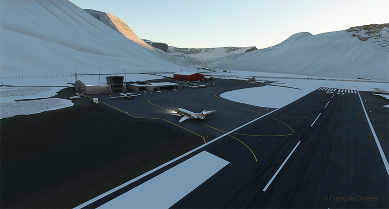
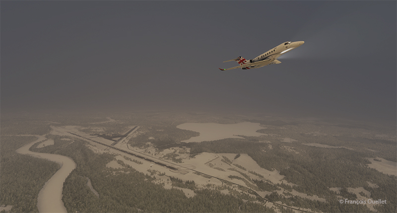
Airborne from the Ivalo virtual airport (EFIV) in northern Finland.

The fifth leg of this world tour in flight simulation continues with a journey from Ivalo airport (EFIV) in Finland to Molde airport (ENML)   in southern Norway. It’s hard to see daylight through the cloud cover as we take off.

In anticipation of this and subsequent flights, I subscribed to Navigraph to make the experience even more immersive. The map below shows the choices for arrival procedures at Molde airport. In green are the reporting points for the arrival and in orange those for the approach. The aircraft follows these points automatically, thanks to the on-board computer.
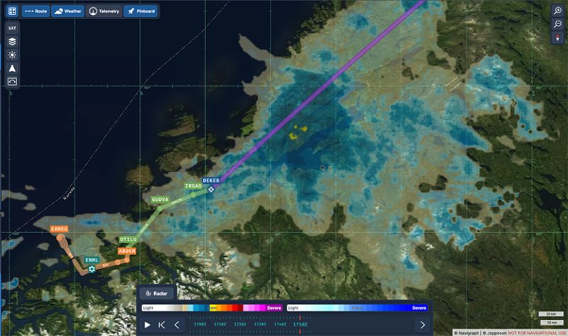
Navigraph informations for the arrival in Molde (ENML)

I’m only just getting to grips with Navigraph and am still going through a trial-and-error process when it comes to using the data. But I’m making progress…
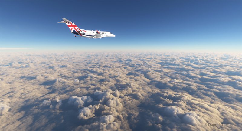
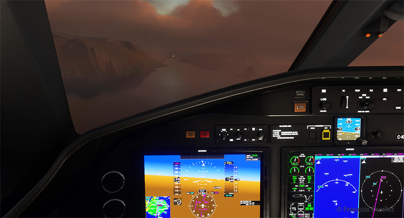
Heading towards the Molde (ENML) airport in Norway with MFS2020.

Once through the cloud layer, the aircraft finally reaches flight level FL380 (38,000 feet).

The runway at Molde airport is 2221 metres (7287 feet) long, and lies on the shore of Moldefjorden. It’s perfect for the Cessna Citation Longitude, but there are mountains on the approach.
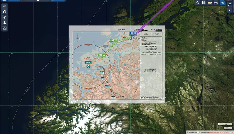
Navigraph map superposed on the geography on approach for the Molde airport (ENML)

The data provided by Navigraph helps the pilot to use the correct altitude limits to maintain a safe height above the terrain at all times. You can also track the aircraft’s progress along the chosen route. Several types of maps are also available to help prepare take-offs and landings. When required, maps can be overlaid with the Navigraph system, while maintaining the aircraft’s planned route over the local geography.
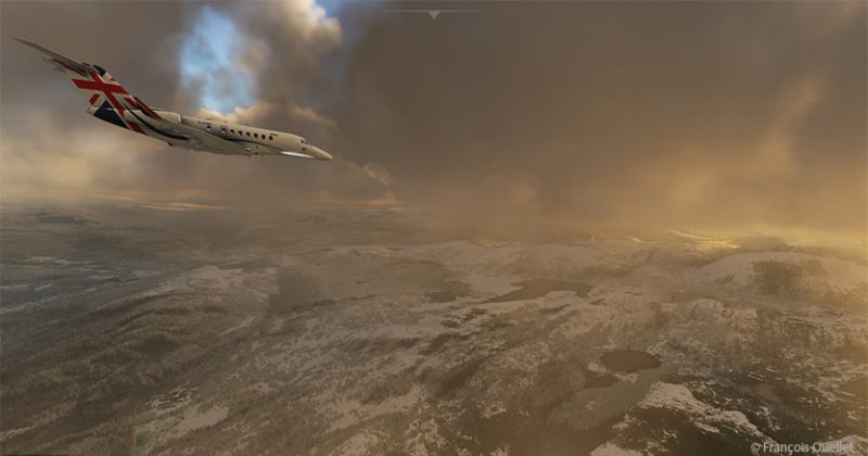
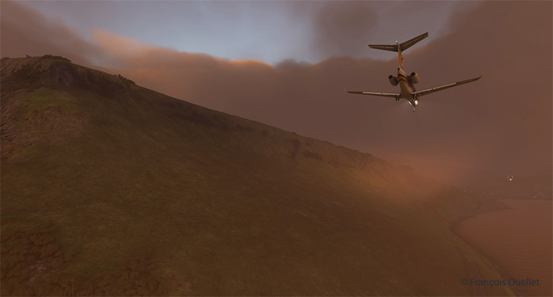
Cessna Citation Longitude descending towards the Molde airport (ENML) airport in Norway in flight simulation.

We start the descent to Molde airport. The cloud cover is relatively thin and visibility is not a problem.
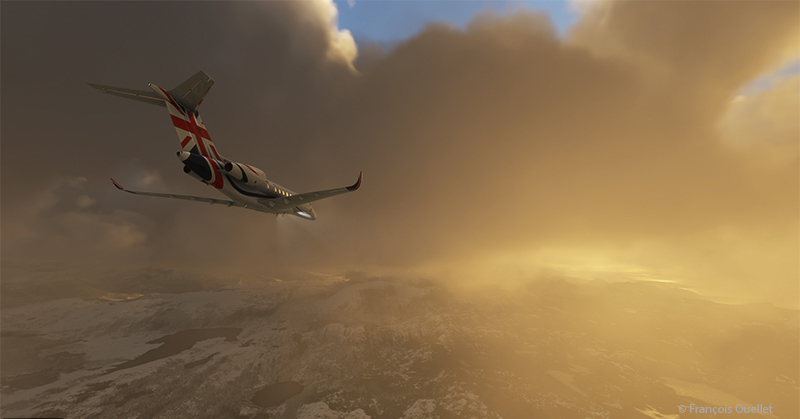
Descending for Molde airport (ENML) in Norway with Microsoft Flight Simulator.

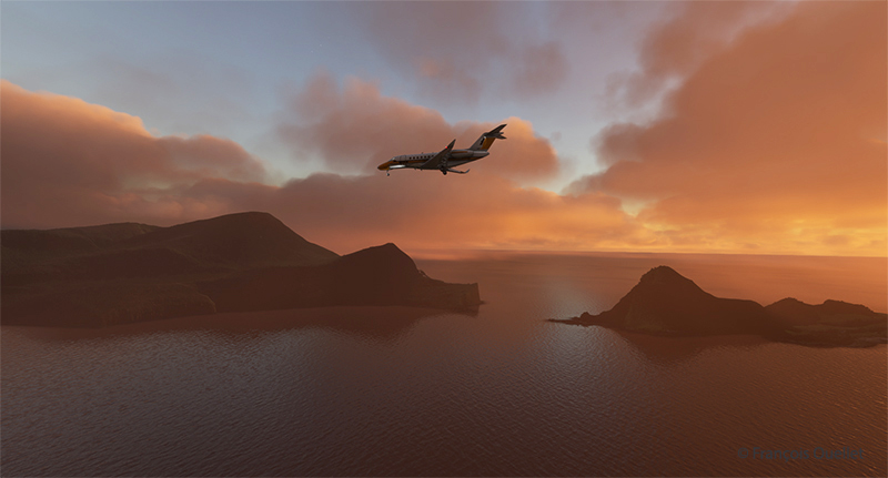
The setting sun makes for beautiful scenes on the descent to Molde.
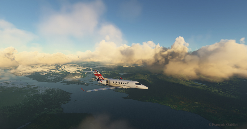
Approaching the virtual Molde airport (ENML) with the Cessna Citation Longitude

Once out of the clouds and in ideal weather, the autopilot is disconnected and the approach is made visually.
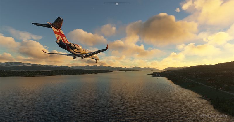
On final for runway 25 at the Molde virtual airport (ENML) in flight simulation.

Winds oriented almost in line with runway 25 facilitate the approach.
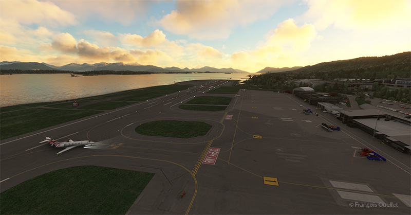
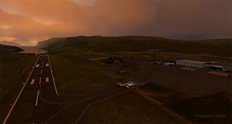
Exiting runway 25 at the Molde airport (ENML) in Norway.

The Cessna Citation leaves runway 25 and parks for a few days in Molde, a Norwegian town renowned for its beautiful mountains and numerous parks and rose gardens. This town was saved from famine in 1740 by the presence of herrings. The town’s coat of arms features a whale hunting herrings in a barrel as a reminder of this period. Thanks to its position along the fjords and the foehn effect, winters in Molde are relatively mild (and very mild compared to Canada).

Soon the sixth leg of the flight will take place, from Molde to Sandane (ENSD), a Norwegian airport surrounded by beautiful mountains.

Click on the link for more flight simulator flights around the world https://francoisouellet.ca/en/category/flight-simulation/  on my blog.
Categories
Flight Simulation

Around the world in flight simulation (4)

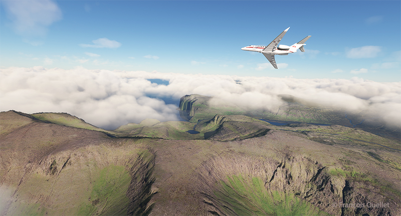
Cessna 700 airborne from the virtual Vagar (EKVG) airport in the Faroe Islands with Microsoft Flight Simulator.

The fourth leg of this world tour in flight simulation continues with a trip between Vagar airport (EKVG) in the Faroe Islands (Kingdom of Denmark) and Finland‘s northernmost airport, (EFIV).

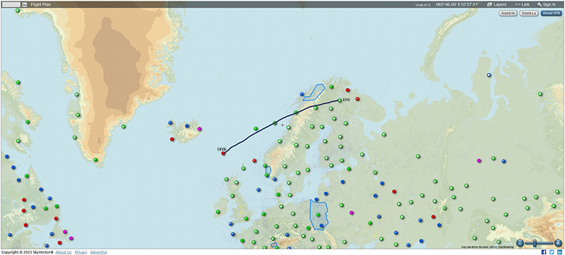
Below is a diagram showing the route, which takes approximately two hours.

From the Vagar airport (EKVG) to the Ivalo airport (EFIV).

I’m using Microsoft Flight Simulator for the trip. The tanks are only 50% full, as we need to limit the aircraft’s weight to allow a safe takeoff on this 5908-foot runway. The aircraft requires a minimum of 4810 feet, to which must be added a strong crosswind component this morning. What’s more, the runway is soggy. If we add too much fuel, we risk ending up in the bay at the end of runway 30.

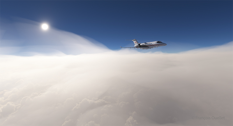
Cessna Longitude enroute to Ivalo (EFIV) Finland in flight simulation.

The virtual Cessna Longitude is now at its planned cruising altitude. Thick clouds cover the coast of Norway, but the weather is much more favorable in northern Finland, where our destination lies.

Virtual Cessna 700 starting the descent towards Ivalo (EFIV) Finland.

After waiting as long as possible before starting the descent, to save the remaining fuel, it’s time to descend into the cloud layer for the approach to Ivalo.

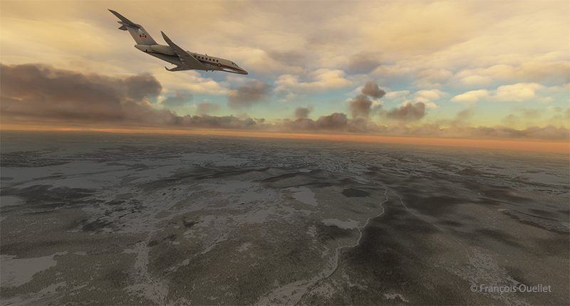
Virtual Cessna Longitude over the frozen northern land of Finland

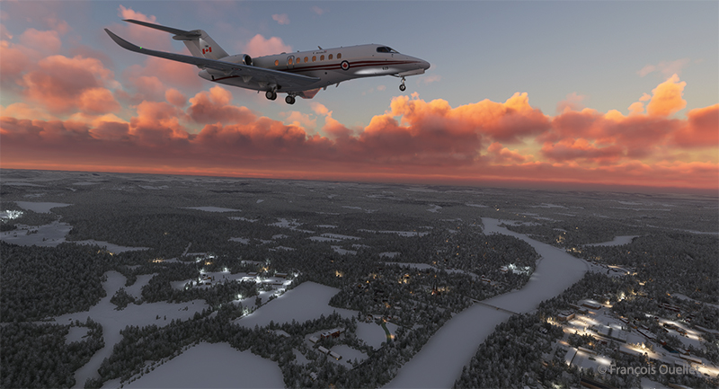
On the way down to the airport, the aircraft passes through several layers of cloud. Finland, still frozen in March, is clearly visible.

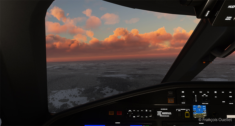
Visual approach to the Ivalo (EFIV) virtual airport in Finland

We have to wait until the last moment to extend the landing gear and flaps to maximize fuel economy. Near the airport, I’m treated to a magnificent spectacle as the sun reaches the horizon.

Long final for runway 22 of the Ivalo virtual airport (EFIV) in Finland

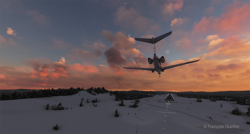
Landing gear down. Flaps to follow shortly. An alarm has just gone off in the cockpit to indicate a low fuel level in the tanks. But there’s still around 350 lbs for each engine. On final approach, the view is superb.

Cessna Citation on short final runway 22 for the Ivalo (EFIV) virtual airport in Finland.

Winds are 220 degrees at 7 knots, directly in line with Runway 22. The runway is 8199 x 148 feet. The flaps are down and the approach is smooth.

Ivalo (EFIV) the northernmost aiport in Finland with Microsoft Flight Simulator copie

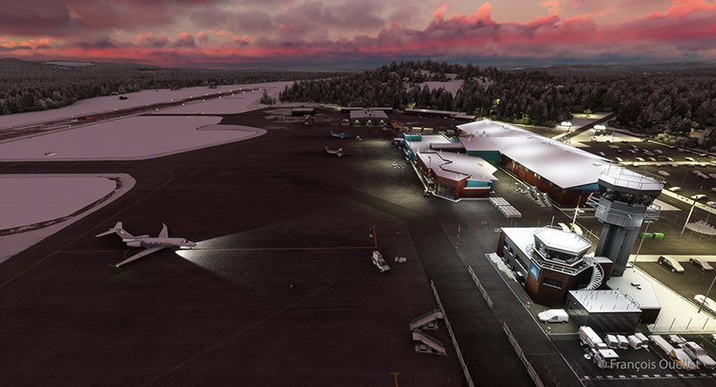
Welcome to Lapland! Ivalo Airport (EFIV) was Finland’s ninth busiest airport in 2024. The region attracts winter sports enthusiasts as well as those keen to observe the Northern Lights.  

Click on the link for more flights around the world in flight simulation on my blog.

Categories
Flight Simulation

Around the world in flight simulation (3)

Airborne from the Isafjordur airport (BIIS) In Iceland with Microsoft Flight Simulator.

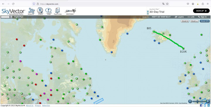
The third leg of the round-the-world flight simulation begins with a departure from Isafjordur (BIIS) in Iceland and ends at Vagar airport (EKVG) in the Faroe Islands, an autonomous archipelago belonging to the Kingdom of Denmark.

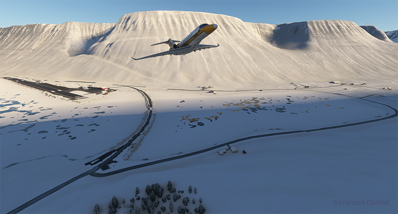
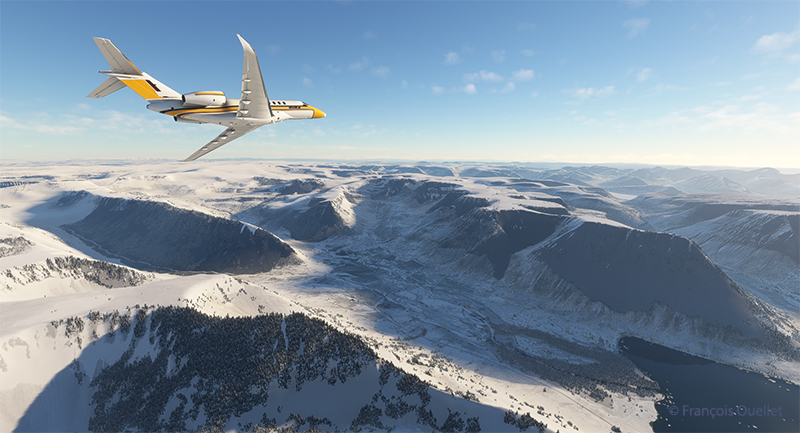
The departure from Isafjordur faces a mountain. You can see the shadows on the ground. But as visibility is perfect, this is no problem at all, as long as the rate of climb is sufficient.

Virtual flight BIIS EGVK
The Cessna Citation Longitude is airborne from the Isafjordur airport (BIIS) in Iceland with Microsoft Flight Simulator.

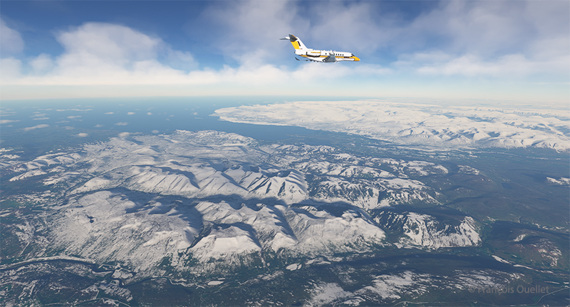
A left turn over the superb Icelandic landscape establishes the Cessna Citation Longitude on course for the Faroe Islands. The FMS ensures that the aircraft will stay on course. But it’s important to remain vigilant: there’s a lot of other equipment that can cause surprises along the way.

The Cessna Citation is climbing slowly over Iceland.

The climb continues over a magnificent landscape. There’s no turbulence today; if there were, the flight simulator would make sure the plane was harder to control, even for the autopilot. I set the virtual flight to observe real air traffic during the flight, but the route between Iceland and the Faroe Islands is off the most popular routes, so it’s normal not to encounter too many aircrafts.

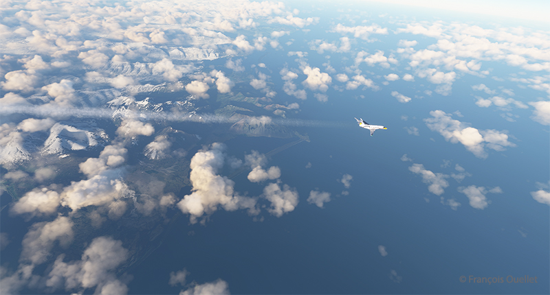
The Cessna Citation Longitude is heading to the Vagar airport (EKVG) in Feroe Islands

We are now established at our cruising altitude, leaving Iceland’s eastern border to fly over the Atlantic Ocean.

Visual approach for runway 12 at the Vagar airport (EKVG) Feroe Islands

We disconnect the autopilot to give us a free hand on the visual approach to Vagar (EKVG) airport. A small white dot, the lights of runway 12, can be seen straight ahead in the distance.  The landing gear is down, as are the flaps, and the speed has stabilized at around 140 knots for the moment.

The Cessna Citation is on long final for runway 12 of the Vagar airport (EKVG) Faroe Islands

It’s an ideal time to arrive in the Faroe Islands, with the setting sun coloring all the surrounding clouds.

The Citation Longitude on visual approach to runway 12 at the Vagar airport (EKVG)

Runway 12 is visible on the far right in the photo above. The uneven cloud cover sometimes blocks the view of the airport for a few seconds, but the wind quickly blows the clouds away, preventing a missed approach. Virtual weather ensures a constant renewal of weather conditions.

The Cessna Citation exits runway 12 at the Vagar airport (EKVG) in Faroe Islands with Microsoft Flight Simulator

Landing is trouble-free, as the Vagar runway is long enough (5902 x 98 feet) to accommodate such a private jet.

Some 53,000 people lived in the Faroe Islands as of 2021. One of the most popular activities is bird and plant watching. To make it easier for residents and tourists to get around, tunnels have been built between some of the archipelago’s 18 islands.

The fourth leg of the round-the-world virtual flight will take place between Vagar and Ivalo (EFIV) in Finland. This is Finland’s northernmost airport.

Click on the link for more flights around the world in flight simulation on my blog.

Categories
Flight Simulation

Around the world in flight simulation (2)

Climbing from Iqaluit (CYFB) to Kangerlussuaq (BGSF)

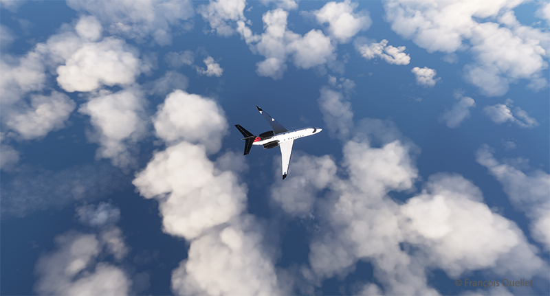
For this second leg of the round-the-world flight simulation, the aircraft departs from Iqaluit (CYFB) in appalling weather conditions, but soon find itself above cloud and approaching an area of high pressure. The sky becomes increasingly clear as I approach runway 09 Kangerlussuaq (BGSF) in Greenland.

Virtual flights CYFB BGSF BIIS

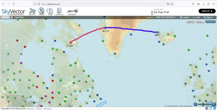
The map shows the planned itinerary: departure from Iqaluit (CYFB), stopover in Kangerlussuaq (BGSF) and arrival at destination in Iceland, at Isafjordur airport (BIIS).

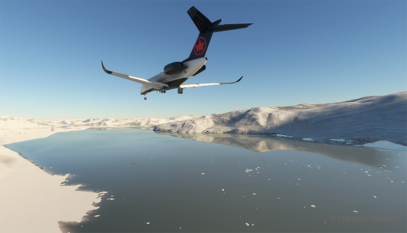
Cessna Citation Longitude on the final approach for the Kangerlussuaq virtual airport (BGSF)

Above, the approach to runway 09. You really need to be well prepared for a destination like BGSF. If the pilot arrives after the tower is closed, the fines are very steep. You can generally expect a little mechanical turbulence on the approach to Runway 09, as the mountains on either side of the aircraft change the airflow.

When I worked at the Iqaluit Flight Service Station (CYFB), many pilots would come up to the tower to plan their flight to BGSF. The most frequent problem was the closing time of the control tower in Kangerlussuaq. They knew that a hefty fine awaited them if they arrived late, often due to stronger-than-expected winds or a departure time that was too tight from Iqaluit. Most of the time, they chose to sleep in Iqaluit and leave the next day, rather than force the issue and end up with a $1500.00 bill to pay.

We also had pilots ferrying single-engine planes over the ocean from Europe to America. In this case, the weather had to be excellent, and the captain had to have the necessary equipment on board to attempt (and I do mean attempt) to survive in the ocean in the event of engine failure.

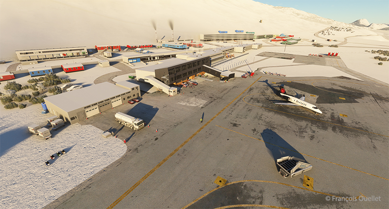
Cessna Longitude parked at Kangerlussuaq (BGSF)

Above, a partial view of Kangerlussuaq’s virtual airport (BGSF), with the Cessna Citation Longitude at a standstill. On the other side of the runway (invisible here), the airport receives military aircraft.

Climbing from (BGSF) Kangerlussuaq to (BIIS) Isafjordur

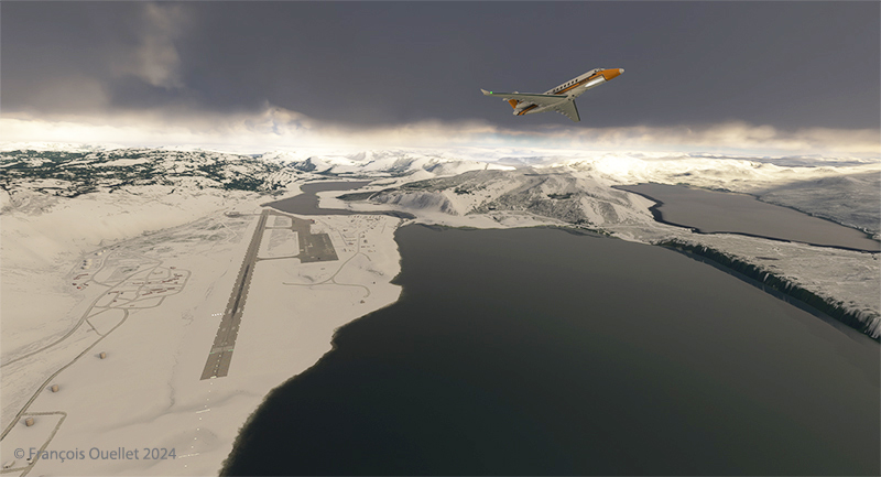
The next day, after a stopover in Kangerlussuaq, it’s time to continue on to Isafjordur. Take-off is on runway 27. The pitot tube heating system and icing protection are activated before entering the cloud layer.

Airborne from the Kangerlussuaq (BGSF) airport

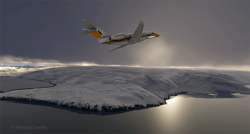
Flying in real weather makes for unexpected screenshots.

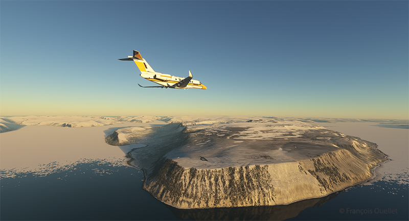
The Cessna Longitude arrives over Iceland in flight simulation

Above, the relief of Iceland shortly before arrival at Isafjordur airport (BIIS). As expected, the sky is clear.

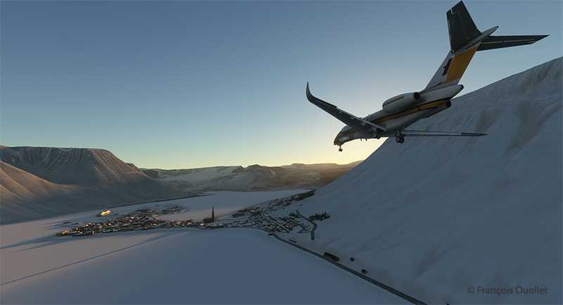
Approaching Isafjordur (BIIS) with the Asobo Cessna Citation Longitude

The approach to Isafjordur is demanding, especially when flying a jet like the Cessna Citation Longitude. You have to save extra speed in the sharp left turn to avoid stalling. I made the turn downhill at 160 knots to get to the runway threshold at the right height. Towards the end of the approach, as the angle of the turn decreases, you immediately reduce speed to around 135 knots.

The Cessna Citation Longitude exits the runway at the Isafjordur virtual airport (BIIS)

Contrary to real life, it is difficult to have a constant view on a runway when doing a virtual approach in a steep turn. A flight simmer would need 3D glasses to quickly look at the runway and then check the instruments. After two unsuccessful attempts where I found myself a little too high above the runway threshold, I nonetheless managed to land. The instrument panel indicated, however, that the brakes worked pretty hard to slow down the plane, which didn’t really surprise me. There are more relaxing approaches…

The next leg on this trip around the world will be a departure from Isafjordur to Vagar (EKVG) in the Feroe Islands.

Click on the link for more flights around the world in flight simulation on my blog.