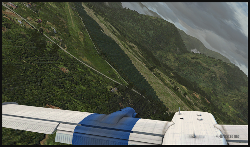
I recently added, in the standard virtual flight section, a flight leaving Parry Sound for Toronto Billy Bishop.Here is an opportunity to learn a bit more about the Great Lakes region in Ontario. The Parry Sound airport, from ORBX, is a first creation by Vlad Maly for this province. The runway length is 4000 feet. Just beside the airport, there is a lake, Robert’s Lake (CRL8), with many cottages, floatplanes and sailboats that are visible when you select the appropriate season. The lake also offers 4000 feet for takeoffs and landings.
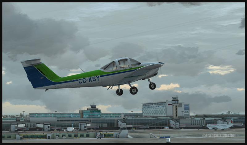
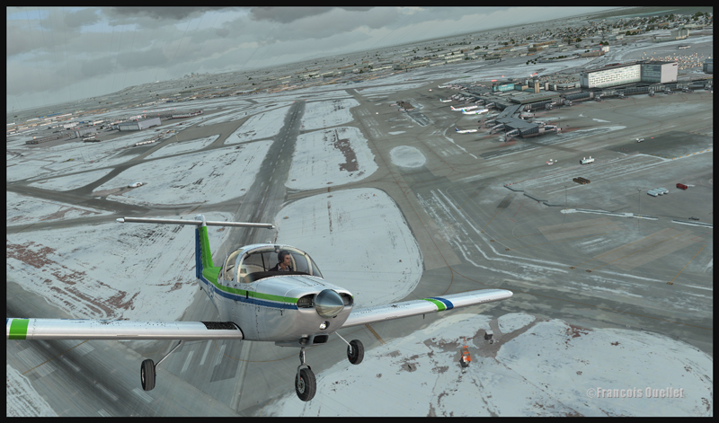
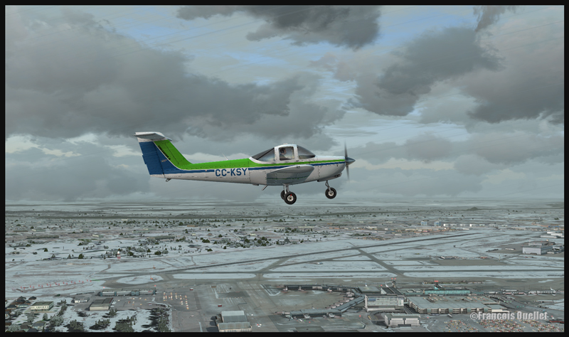
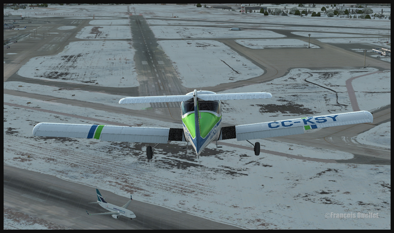
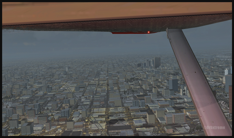
The actual flight has been made while the clouds were low enough that the flying altitude forbid the adequate reception of the Toronto Island (Billy Bishop) NDB (257khz) in the first half of the flight. A touch-and-go was made at Toronto International (CYYZ). MyTraffic2013 provided the airport with many AI aircrafts. Once over downtown Toronto, it was now time for Pilot’s FS Global 2010 to automatically install a maximum of buildings, for more realism.
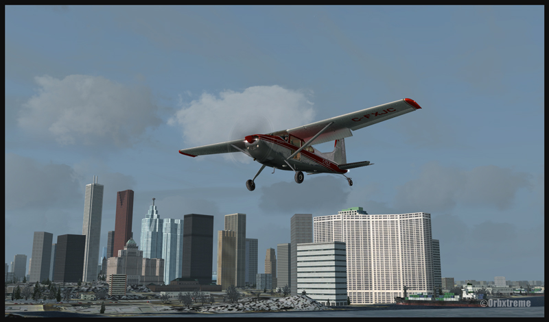
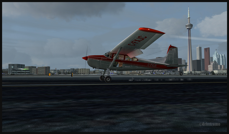
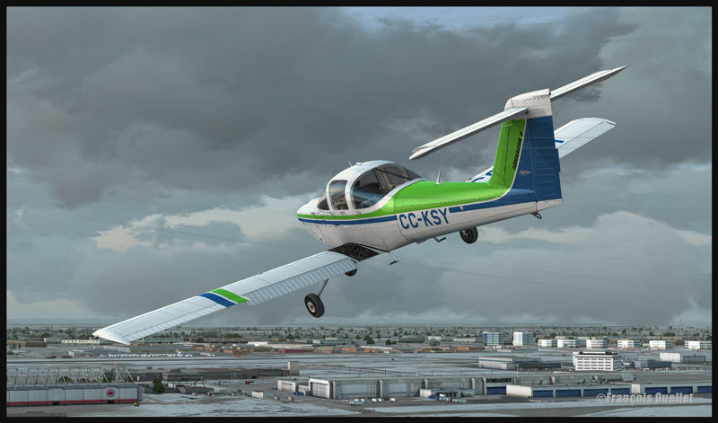
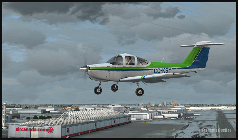
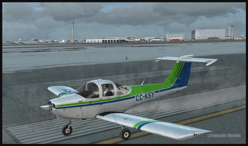
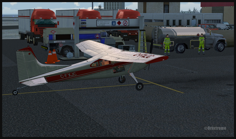
Finally, theToronto Billy Bishop (formerly Toronto Island) was modified by ORBX in order to make it more interesting and alive. You will thus find, on arrival, some staff to take care of the refueling process. Somes vehicules have also been added. Naturally, MyTraffic2013 took charge of AI aircrafts as CYTZ is quite a busy airport and needs some air traffic to enhance the realism.
I wish you a good flight, if you wish to try it out. I would suggest though, for a more interesting experience, that you install ORBX FTX Global Vector on your computer, as the Microsoft Flight Simulator (FSX)software does not do a good job when it comes to representing the Great Lakes area. ORBX Open LC for North America further improves the flying experience.
For more articles on flight simulation on my web site, click on the following link : Flight simulation