Categories
Flight Simulation

Elk River (NC06) to Mountain Air County Club (2NC0) with MSFS 2020.

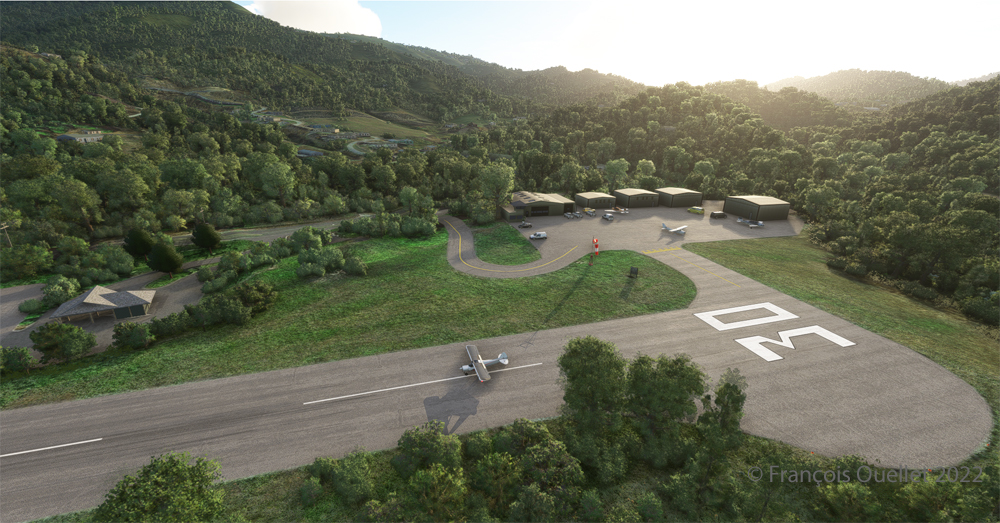
Ready for departure at the Elk River airport (NC06) created by Cloud Studio.

Today’s twenty-minute virtual flight is conducted using Microsoft MSFS 2020 flight simulation software. The virtual airport at Elk River (NC06)   in the United States, modeled here by Pilot’s, is located at approximately 3468 feet (ft) above sea level (MSL). Its sloped 12/30 runway can accommodate many types of aircraft as its dimensions are still 4600 feet long by 75 feet wide. A golf course is located near the airport facilities.
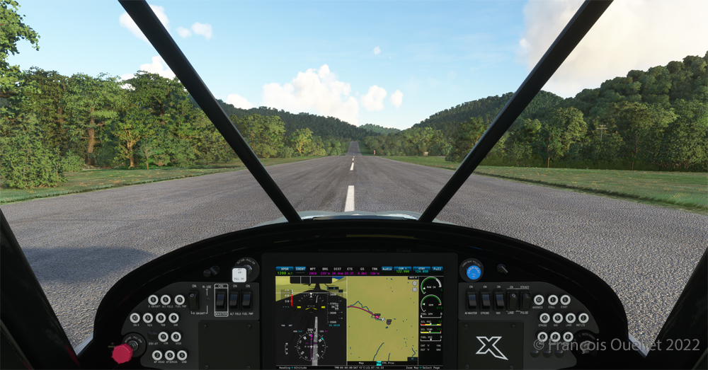
The sloped runway of the Elk River airport (NC06) with the MSFS 2020 flight simulator.

In the distance, the end of runway 30 can be seen rising rapidly. The trip to Mountain Air County Club Airport (2NC0), modeled by Cloud Studio, is made with a single engine Cubcrafters NX Cub.
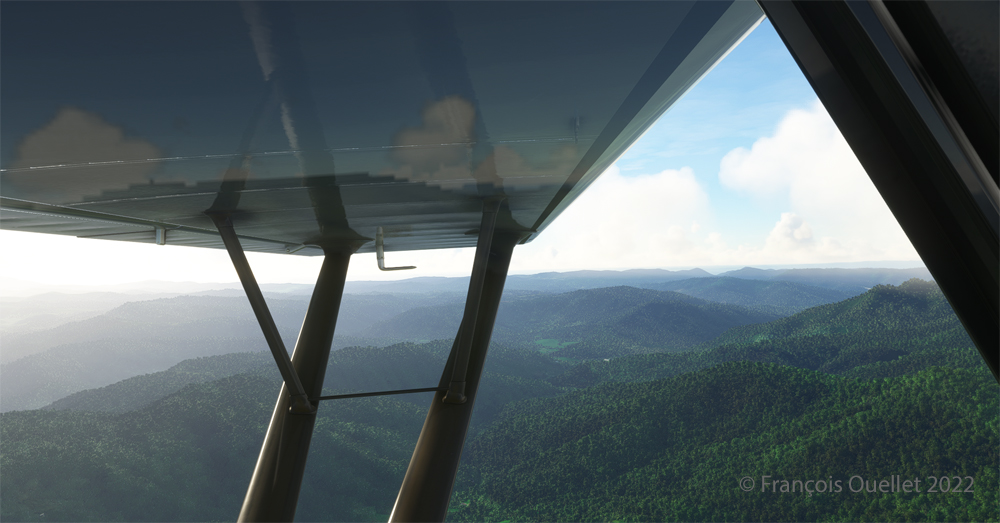
Enroute towards the Mountain Air County Club (2NC0) airport from Elk River (NC06) with MSFS 2020.

In direct flight with GPS, the virtual pilot will have to climb at around 7000 feet msl to avoid the surrounding mountains. It is therefore important to adjust the air/fuel mixture during climb and descent for the destination. Also, don’t forget to adjust the altimeter (press “B”) as you move away from the point of departure. Near the summits, you will experience mechanical turbulence, which is normal.
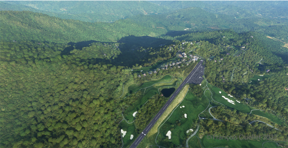
Aerial view of the Mountain Air County Club (2NC0) airport created by Pilot's.
Aerial view of the Mountain Air County Club (2NC0) airport created by Pilot’s.

The photo above shows the virtual airport of Mountain Air County Club (2NC0) with the MSFS 2020 flight simulator. The sloped runway is 2900 feet long and only 50 feet wide. A golf course surrounds this airport located at 4432 feet MSL. Since the winds are light, the approach will be on runway 14.
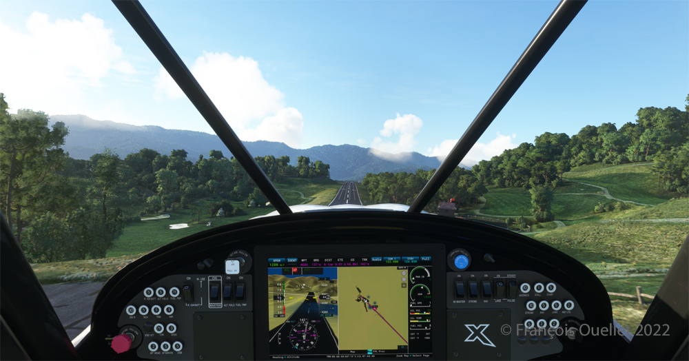
On final for the sloped runway of the Mountain Air County Club (2NC0) airport using MSFS 2020.

On final approach, it is easy to see the uphill angle of this airstrip, which is slightly more damaged than the one at Elk River.
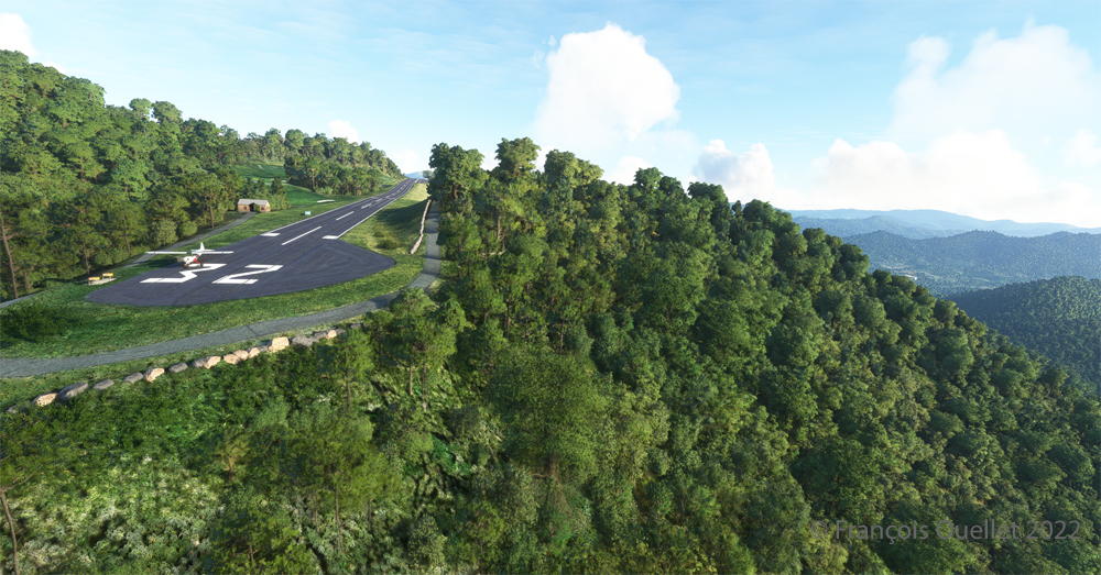
A view of the cliff at the threshold of runway 32 at the 2NC0 Mountain County Air Club airport created by Pilot's pour MSFS 2020.
A view of the cliff at the threshold of runway 32 at the 2NC0 Mountain County Air Club airport created by Pilot’s pour MSFS 2020.

As we continue to taxi to the end of runway 14, we notice the cliff that awaits the pilot who has not properly prepared his landing. No forgiveness!
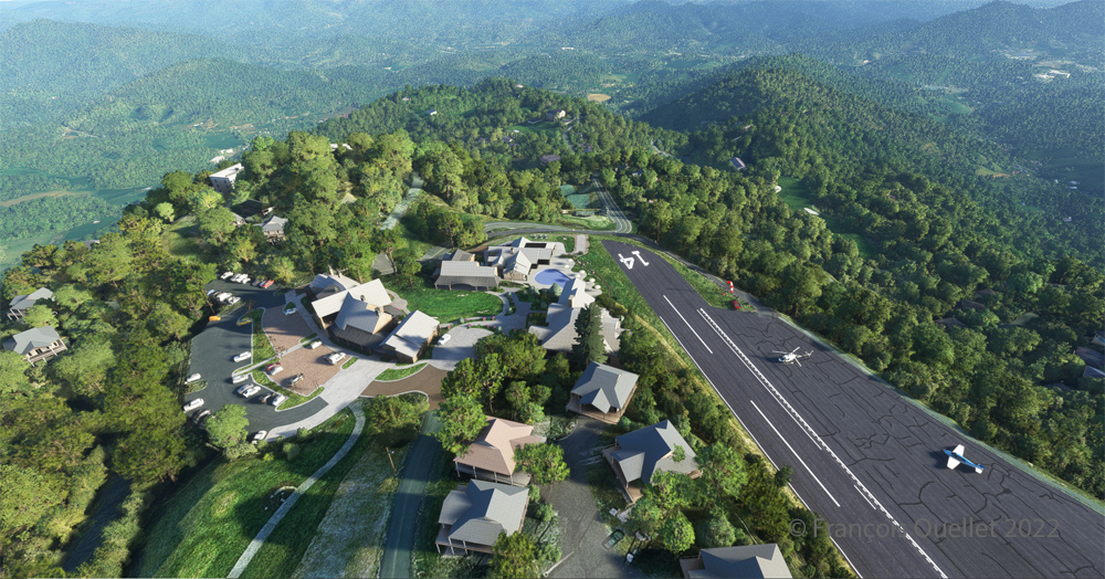
View from above of the Mountain Air County Club airport 2NC0 with the MSFS 2020 flight simulator.

An elevated view shows the threshold of runway 14 and the buildings associated with the golf club. A few golf loving pilots have already parked their aircraft to the left of runway 14. For this screenshot, I used the excellent X-BOX drone.
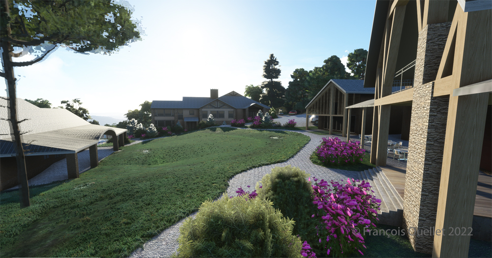
Buildings and flowers at the Mountain Air County Club airport (2NC0) created by Pilot's for MSFS 2020.
Buildings and flowers at the Mountain Air County Club airport (2NC0) created by Pilot’s for MSFS 2020.

A final photo shows the buildings and flowers associated with the golf club. The bird recordings are easily heard, which enhance the scene. Flight simulation enthusiasts wishing to repeat the experience should do so under VFR conditions to keep an eye on the mountain tops during the approach.

Click on the link for more challenging virtual flights under MSFS 2020 and FSX on my blog.
Categories
Flight Simulation

A radical way of dealing with crosswinds in flight simulation.

There is no aircraft in the sky around the Port Moresby Jacksons (AYPY) virtual airport today. No aircraft in the sky but one, a medevac flight.

Arrival of the Medevac towards the Port Moresby Jacksons (AYPY) airport. The winds forbid a normal landing.

The winds blow from 240 degree at 50G60 kts and the runways are oriented 14/32. It is way above the maximum crosswind authorized for any aircraft.

But the Shrike Commander’s crew cannot wait until the wind calms down. They must land in the next few minutes in order to save a patient’s life.

The Port Moresby Jacksons (AYPY) is in sight in the center top of the screen capture.

As there is no traffic around, the captain has told ATC he intends to do a safe, efficient but non-standard approach.

The aircraft is gradually positioned to arrive in a straight line for the AYPY hangar.
The aircraft aligns itself to face the wind blowing across the runways.

Arriving straight across the runways, facing the wind, the crew intends to land the aircraft a few feet short of a hangar. The captain requests that someone opens the hangar doors right away. The captain will terminate the approach in the hangar, protected from the wind.

Trajectory of the Shrike Commander 500S towards the hangar at the Port Moresby Jacksons airport. The hangar door has been open for the arrival.

It is safer to arrive facing the wind and immediately enter the hangar, straight ahead. No taxiing with a 60 knots crosswind.

Useless to say, ATC has already refused the request. But the pilot is the only one who decides of the best landing surface, for the safety of the passengers and himself. He proceeds with the approach after having clearly indicated which path will be followed.

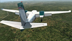
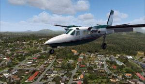
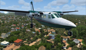
The Shrike Commander 500S over the houses near the Port Moresby Jacksons airport.

The main problem for the approach is the low level mechanical turbulence caused by the gusty 60 kts winds.

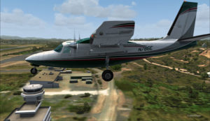
If ATC wants to file a complaint, now is a good time to take a picture of the aircraft and its registration to support the case.

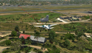
Flying by the AYPY control tower.

The actual ground speed of the airplane is around 20 kts.

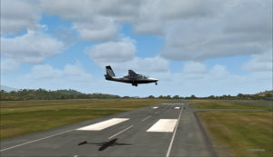
The Shrike Commander 500S approaching across the runways at the Port Moresby Jacksons airport. The winds blow from 240 degree at 50G60.

The steady high wind speed is actually safer for the crew than if the winds were 240 at 35G60.

Ground speed of about 20 knots for the Shrike Commander 500S on final for the Port Moresby Jacksons hangar (AYPY).

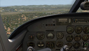
Still a bit above the runway and with a 10-20 knots ground speed. The airspeed indicator shows the strength of the wind itself plus the ground speed.

Indicated airspeed 70 knots.
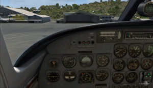
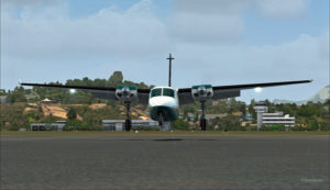
Frontal view of the Shrike Commander 500S about to land in front of the hangar at AYPY.

Floating like a hot air balloon or almost!

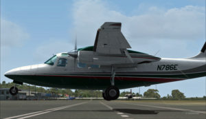
Side view of the Shrike Commander 500S on final for the Port Moresby Jacksons airport's hangar.
Side view of the Shrike Commander 500S on final for the Port Moresby Jacksons airport’s hangar.
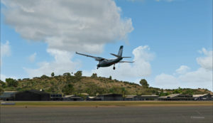
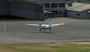
The Shrike Commander will soon land in Port Moresby Jacksons.

As the aircraft touches the ground, it stops almost immediately. It is necessary to apply power to reach the hangar, as you can see with the white trail on the ground behind the aircraft.

In real life, the touch-down would have had to be as soon as the asphalt start since the presence of the hangar lowers the wind speed a bit.

The Shrike Commander lands a few feet before the hangar. Additional power is mandatory to reach the hangar.

A few seconds after the touch-down, the aircraft is in the hangar, protected from the wind, and both doctor and patient can quickly head out to the hospital.

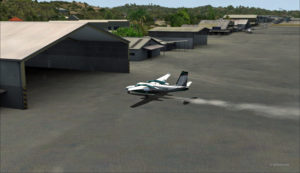
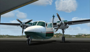
The Shrike Commander 500S in the hangar at Port Moresby (AYPY).

Once in the hangar, the winds were adjusted to zero, which is kind of logical, unless the opposite wall is missing!

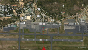
View of the Port Moresby Jacksons (AYPY)

It was now time to brace for another storm, which was the inquiry that would possibly follow the landing!

(P.S.: Tim Harris and Ken Hall were the creators of this virtual Port Moresby Jacksons international airport) and it is sold by ORBX. The aircraft is sold by Carenado).

Click on the link for more unhinged virtual flights on my blog.

Categories
Real life stories as a flight service specialist (FSS): Rouyn-Noranda FSS

Enroute for the second posting: Rouyn-Noranda FSS

New Rouyn-Noranda flight service station. Photo taken around 2002. Unknown photographer.
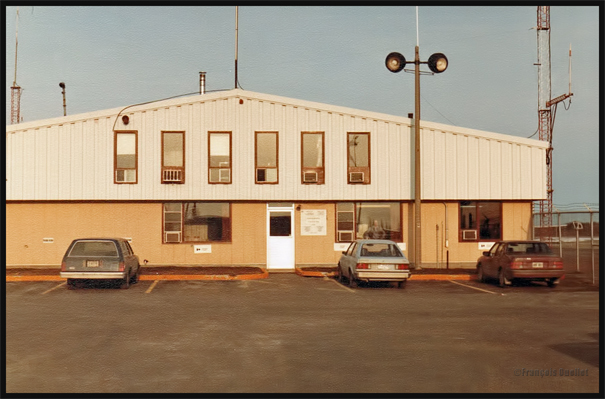
Photo of the old Rouyn-Noranda flight service station. Photo taken in 1984

November 1983. After having worked every day for more than a year, it was time to leave Inukjuak, in the Nunavik, for a new Transport Canada flight service station (FSS) located in Rouyn-Noranda (CYUY), in Abitibi region in the Québec province. Things got complicated on the day of departure, the weather worsening rapidly. An Air Creebec Twin Otter departing from Kuujuaraapik (CYGW) would now do the flight. But this company’s route implied numerous stopovers along James Bay.

With the strong winds and low clouds, I was aware that we would be in for a rough ride. The clouds being merely few hundred feet above the tree tops, the pilots had to do the whole flight and the multiple stopovers while dealing with those limitations. Along the route, there was no airport equipped to allow instrument landings. The runways were short, in gravel or dirt, and trees sometimes near the thresholds forced the pilots to adopt steeper rate of ascent or descent.

After few hours of flying in this sustained mechanical turbulence, many passengers started to experiment air sickness. They had to use the practical little bag offered by all the companies. I changed my mind by looking through the window. There was no choice of music for the flight: the wheezing and grunting noises of the passengers were used as background ambiance.

We finally landed in Val-d’Or (CYVO) late in the evening. It was different to see a long asphalted runway and an airport equipped with appropriate instruments. One hour later, I was in Rouyn-Noranda. Welcome in the South…!

For more real life stories on the Rouyn-Noranda flight service station and flight service specialists, click here:

Real life stories as a FSS in Rouyn-Noranda