Categories
Photos of Quebec

An 80 kilometers bike ride in Kamouraska

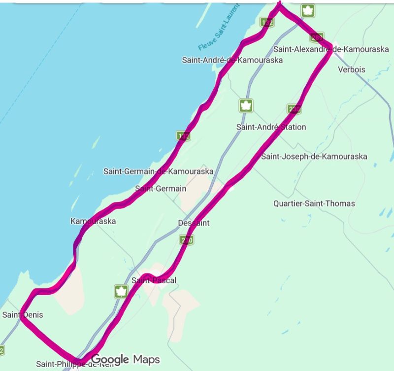
Map of a 77 km bike ride in the Kamouraska region.

This intermediate-level, 77-kilometer bike route in the Bas-Saint-Laurent runs entirely on paved roads, unlike Vélo Québec’s Églantiers loop (55 km), which includes a 14-kilometer gravel section. The cycling tour follows a sort of elongated rectangle running parallel to the St. Lawrence River.
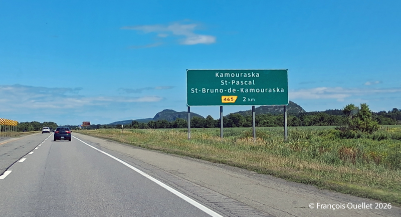
Exit for St-Pascal and Kamouraska

To get there by car, take the St-Pascal exit and head toward Kamouraska. Parking at the village church is free.

The bike route begins heading southwest, first along Route 132 toward Saint-Denis-De La Bouteillerie. Cyclists are treated to beautiful views along the way, whether of ancestral houses, flower-filled or plowed fields, farms, monadnocks, the river, or the mountains in the distance. When I was there, a massive drone controlled from the roadside was spraying crops.

Once you reach Saint-Denis-De La Bouteillerie, turn left onto Route 287 and continue toward Saint-Philippe-de-Néri. Eventually, you’ll pass under Highway 20 and reach Route 230. There, turn left again and ride along Route 230 to Saint-Alexandre-de-Kamouraska. Generally speaking, the route heads northeast.
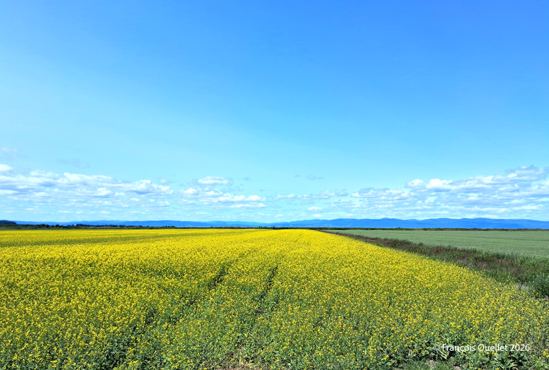
Kamouraska fields, Summer 2026.

In Saint-Alexandre-de-Kamouraska, a left turn brings you onto Route 289, which you follow until you reach Route 132, near the river. Along the way, a long downhill stretch allows for a bit of a break and allows to reach a speed of 60 km/h. For reference, by the time you turn onto Route 289, you’ll have already covered about 50 kilometers.

Once you reach Route 132, turn left to ride along the river and head back toward Kamouraska. At this point, there are between 15 and 20 kilometers left to go. A possible stopover is the small lighthouse in Saint-André de Kamouraska.
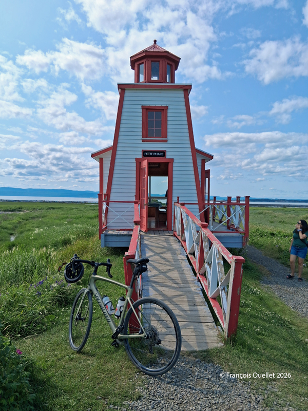
Small lighthouse of Saint-André de Kamouraska

Throughout this hike, there are several opportunities to take a shortcut inland to reach Kamouraska more quickly. This can be helpful if you’re tired, injured, or for any other reasons.

Once you’re back in the village of Kamouraska, there are a few interesting spots worth visiting to grab a bite, pick up some unique souvenirs, and even take a walk near the beach.

Have a great trip!
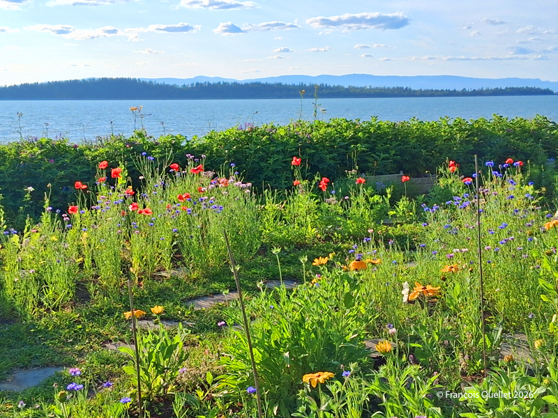
Seaside and flowers at Kamouraska

Seaside and flowers at Kamouraska

Click the link to see more photos of Quebec City on my blog.

Categories
Photos of Canada Photos of Quebec

A detour via the Saguenay Fjord and La Baie.

Sailboat anchored in the Saguenay Fjord in the province of Québec

Heading up the west coast of Saguenay from Saint-Siméon, you pass through Sagard (home to the Desmarais family’s huge estate and castle) and L’Anse-Saint-Jean. In L’Anse-Saint-Jean, you can book a shuttle for a few hours’ round trip on the Saguenay. This allows you to see Cap Trinité and stop off at Sainte-Rose-du-Nord.

I took the picture above from Baie Éternité. The cliffs rise up to 400 metres. A sailboat has chosen to anchor there for a while.

The Saguenay River at low tide near La Baie, Québec 2025

Just before La Baie, you can walk on the beach at low tide. There are several interesting opportunities for landscape photography, including a lighthouse, mountains, the town at night, and even cruise ships sailing up the Saguenay River in the fall.

Downtown in La Baie, province of Québec 2025

To achieve the above effect in La Baie, I had to remove a few poles and advertisements using digital processing software. The pseudo-HDR method enhances the impact of the clouds by defining them more clearly.

Seals resting on rocks in the Saguenay fjord, Québec 2025

This last photo shows seals resting on the rocks along the Saguenay Fjord. The captain of the ferry was able to approach the cliffs safely because of the great depth of the fjord at this point.

Click on the link for more photos of Quebec on my blog.