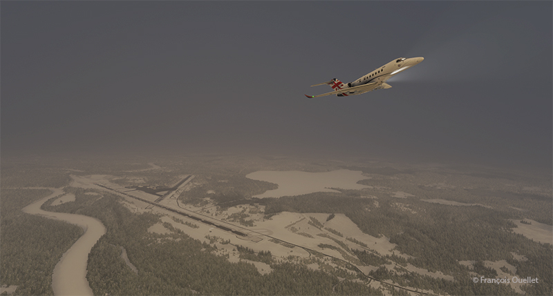
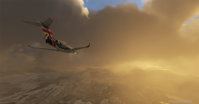
The fifth leg of this world tour in flight simulation continues with a journey from Ivalo airport (EFIV) in Finland to Molde airport (ENML) in southern Norway. It’s hard to see daylight through the cloud cover as we take off.
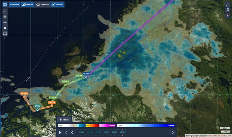
In anticipation of this and subsequent flights, I subscribed to Navigraph to make the experience even more immersive. The map below shows the choices for arrival procedures at Molde airport. In green are the reporting points for the arrival and in orange those for the approach. The aircraft follows these points automatically, thanks to the on-board computer.
I’m only just getting to grips with Navigraph and am still going through a trial-and-error process when it comes to using the data. But I’m making progress…

Once through the cloud layer, the aircraft finally reaches flight level FL380 (38,000 feet).
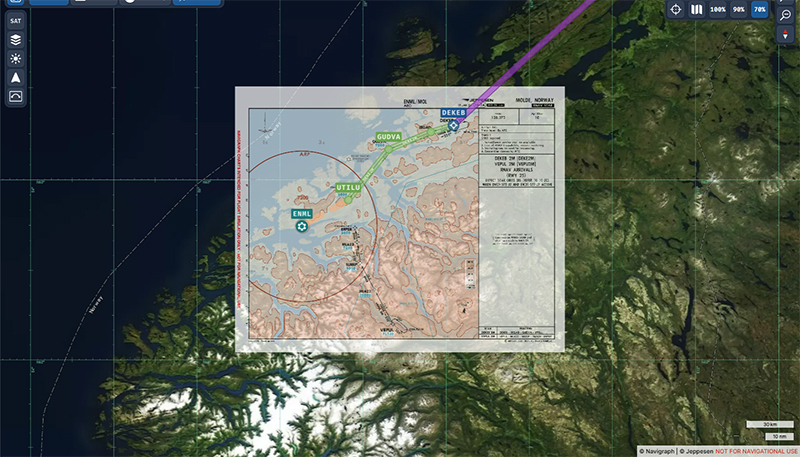
The runway at Molde airport is 2221 metres (7287 feet) long, and lies on the shore of Moldefjorden. It’s perfect for the Cessna Citation Longitude, but there are mountains on the approach.
The data provided by Navigraph helps the pilot to use the correct altitude limits to maintain a safe height above the terrain at all times. You can also track the aircraft’s progress along the chosen route. Several types of maps are also available to help prepare take-offs and landings. When required, maps can be overlaid with the Navigraph system, while maintaining the aircraft’s planned route over the local geography.
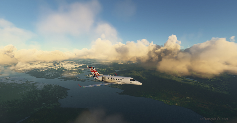
We start the descent to Molde airport. The cloud cover is relatively thin and visibility is not a problem.
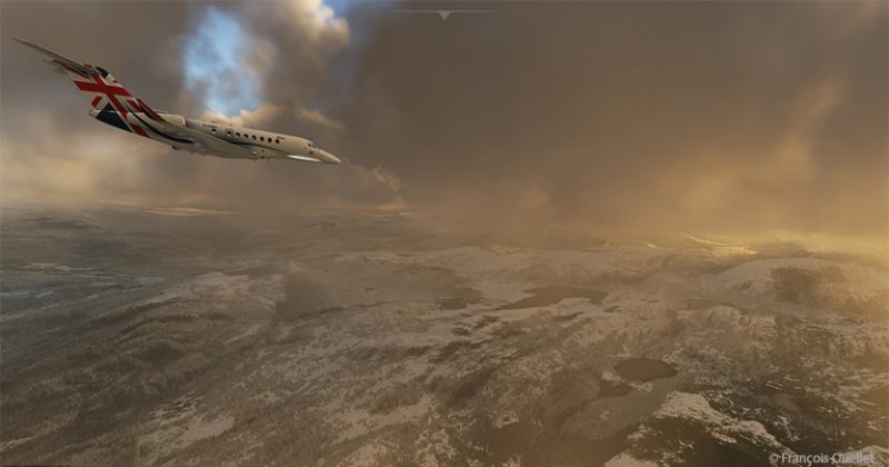
The setting sun makes for beautiful scenes on the descent to Molde.
Once out of the clouds and in ideal weather, the autopilot is disconnected and the approach is made visually.
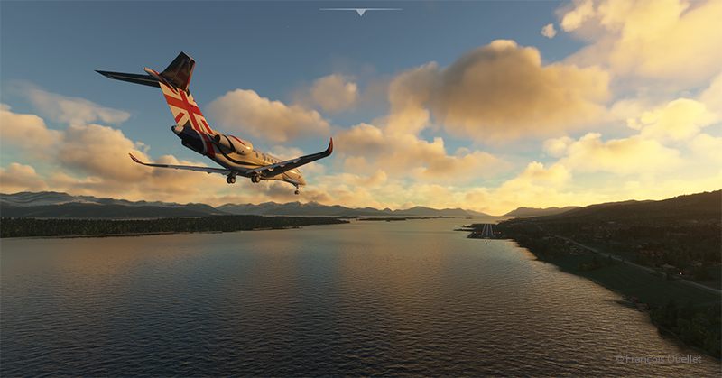
Winds oriented almost in line with runway 25 facilitate the approach.
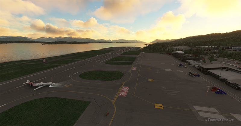
The Cessna Citation leaves runway 25 and parks for a few days in Molde, a Norwegian town renowned for its beautiful mountains and numerous parks and rose gardens. This town was saved from famine in 1740 by the presence of herrings. The town’s coat of arms features a whale hunting herrings in a barrel as a reminder of this period. Thanks to its position along the fjords and the foehn effect, winters in Molde are relatively mild (and very mild compared to Canada).
Soon the sixth leg of the flight will take place, from Molde to Sandane (ENSD), a Norwegian airport surrounded by beautiful mountains.
Click on the link for more flight simulator flights around the world https://francoisouellet.ca/en/category/flight-simulation/ on my blog.